Costa da Morte (Death Coast) is part of the Atlantic coast of Galicia, Spain. The Costa da Morte extends from the municipality of Muros, bordering Rías Baixas, to the municipalities, integrated in A Coruña metropolitan area. Further north are the Rías Altas.
It’s one of the wildest parts of the Atlantic resorts of Spain.
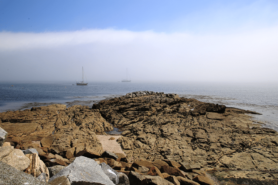
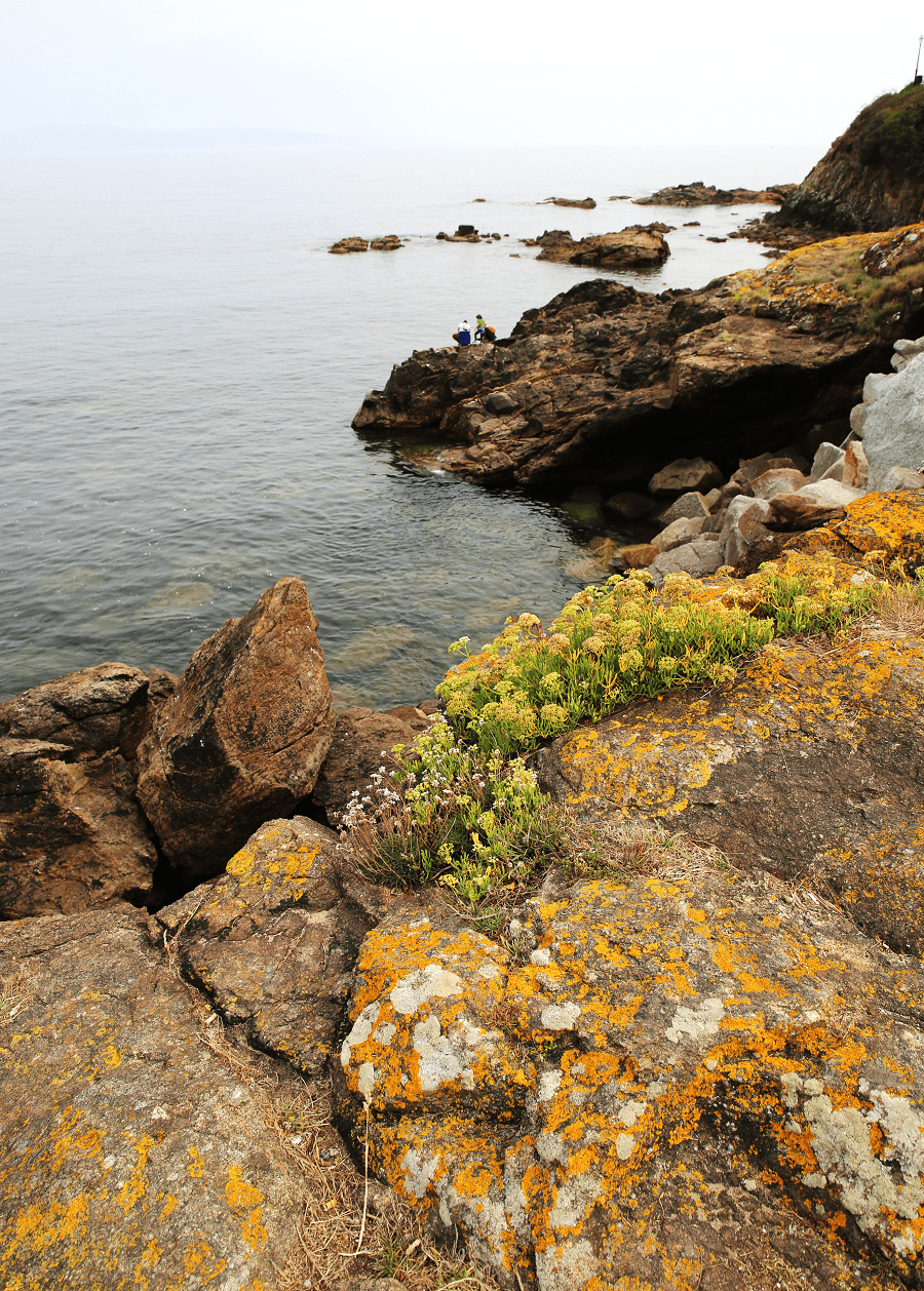
The Costa da Morte received its name because there have been many shipwrecks along its treacherous rocky shore. The shore of the Costa da Morte is exposed directly to the Atlantic Ocean.
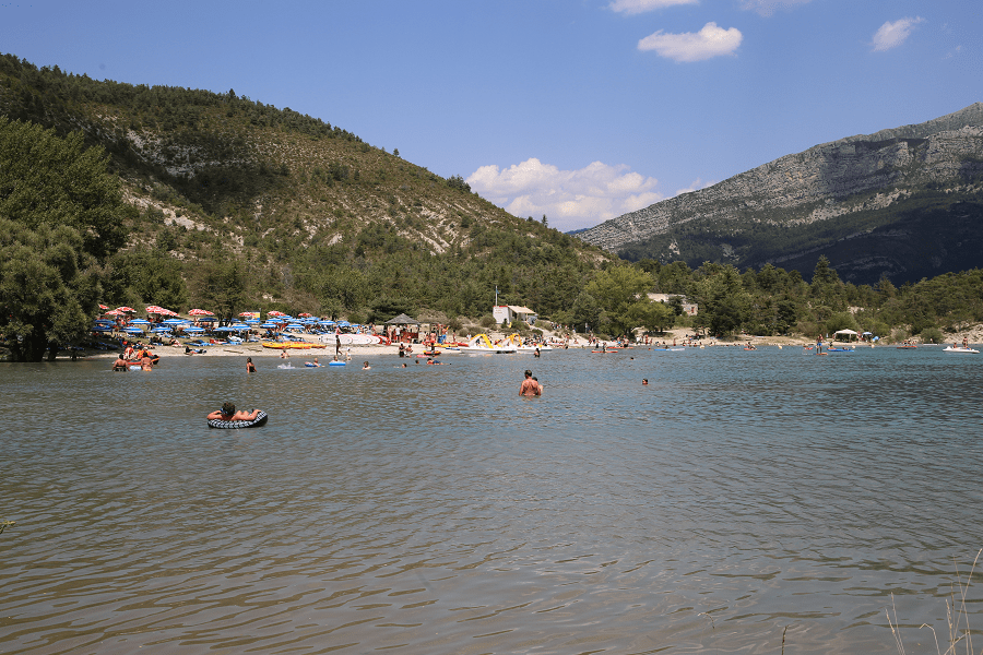
It is one of the most forgotten areas of Atlantic resorts of Spain in terms of tourism although it seems to be a perfect place to see something new and wild. Costa da Morte is a windy and rainy place during all year but also a sunny destination during summer.

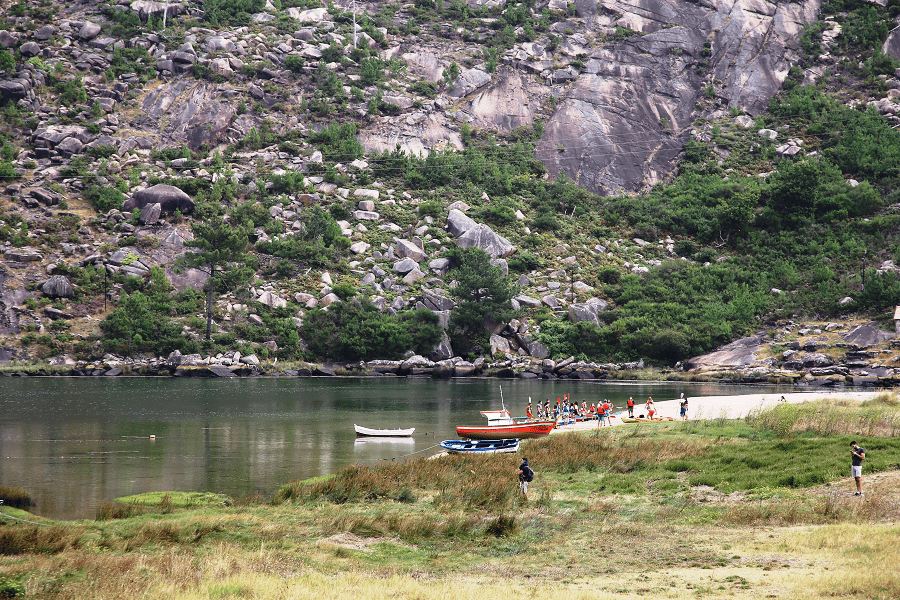
The coast consists of the beautiful landscapes such as the beaches of Trece, Reira or Ariño (Camariñas), Lage, Traba and Soesto (Lage), Mar de Fóra and O Rostro (Finisterre), the penedos of Pasarela and Traba, the Costa de Cabo Villain and the coast that connects Camelle with Traba.
It is declared a special conservation area.
Main tourist sites (from north to south)
Malpica – a northernmost part of the Costa da Morte
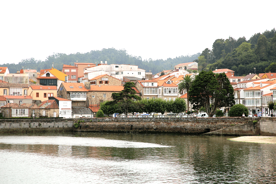
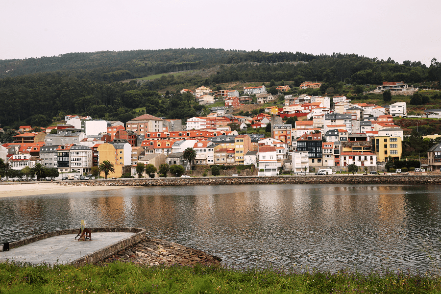
Laxe and its famous city beach
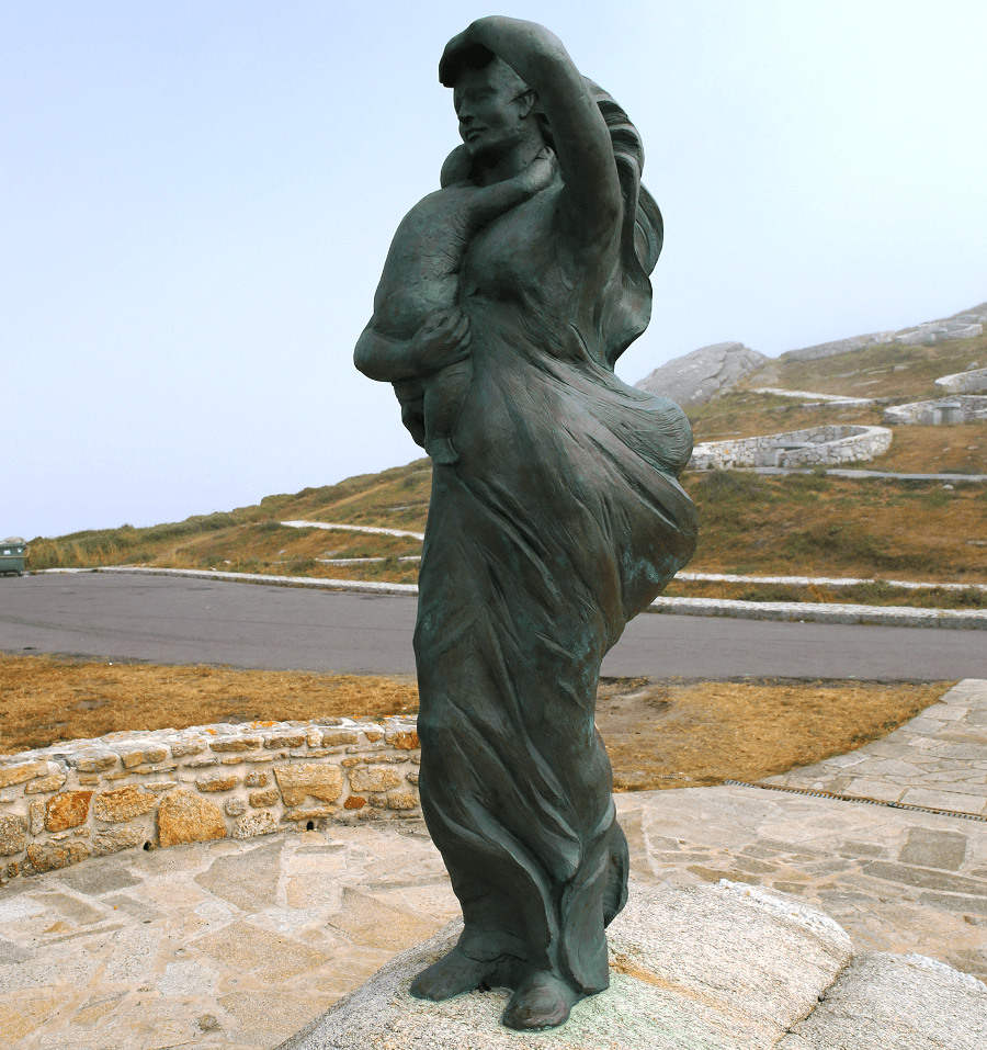
Cape of Touriñán – the westernmost point of inland Spain
Corcubión – a Historic-Artistic Site
History
Eugenio Carré Aldao, towards the end of the 1920s, was one of the first to refer to the name “Coast of Death”, which, he claims, comes from an ancient legend documented in the middle of the century XVI, dramatizing everything geographically understood to the right of Finisterre, due to its lack of constancy of navigability.
Taking into account that the name of this region refers to the number of marine catastrophes due to the danger of its cliffs and frequent storms, it is possible to delimit it between Punta Roncudo and Cape Finisterre.

This delimitation (Cape Roncudo-Finisterre) was set by English sailors more than two centuries ago, considering the Finisterran arch the most dangerous stretch of coast due to the amount of shallows or lakes that were hidden a few meters from the surface away from the coast, the strong currents, storms, sudden closures of fog and multiple shipwrecks.

How to get to?
Nearest airports are in Santiago de Compostela (SCQ) and in A Coruña (LCG).
See here best sea and ocean resorts of France and Spain (223 objects)