Galicia is an autonomous community of Spain. The capital is Santiago de Compostela.
Located in the northwest Iberian Peninsula, it includes the provinces of A Coruña, Lugo, Ourense and Pontevedra with the capitals of the same name.
Geography
Galicia is located in Atlantic Europe. It is bordered by Portugal to the south, the Spanish autonomous communities of Castile and León and Asturias to the east, the Atlantic Ocean to the west, and the Cantabrian Sea to the north.
Galicia has a surface area of 29,574 square kilometres. Its northernmost point, at 43°47′N, is Estaca de Bares (also the northernmost point of inland Spain); its southernmost, at 41°49′N, is on the Portuguese border in the Baixa Limia-Serra do Xurés Natural Park. The easternmost longitude is at 6°42′W on the border between the province of Ourense and the Castilian-Leonese province of Zamora) its westernmost at 9°18′W Cape Touriñán (also the westernmost point of inland Spain).
Main attractions. TOP 3
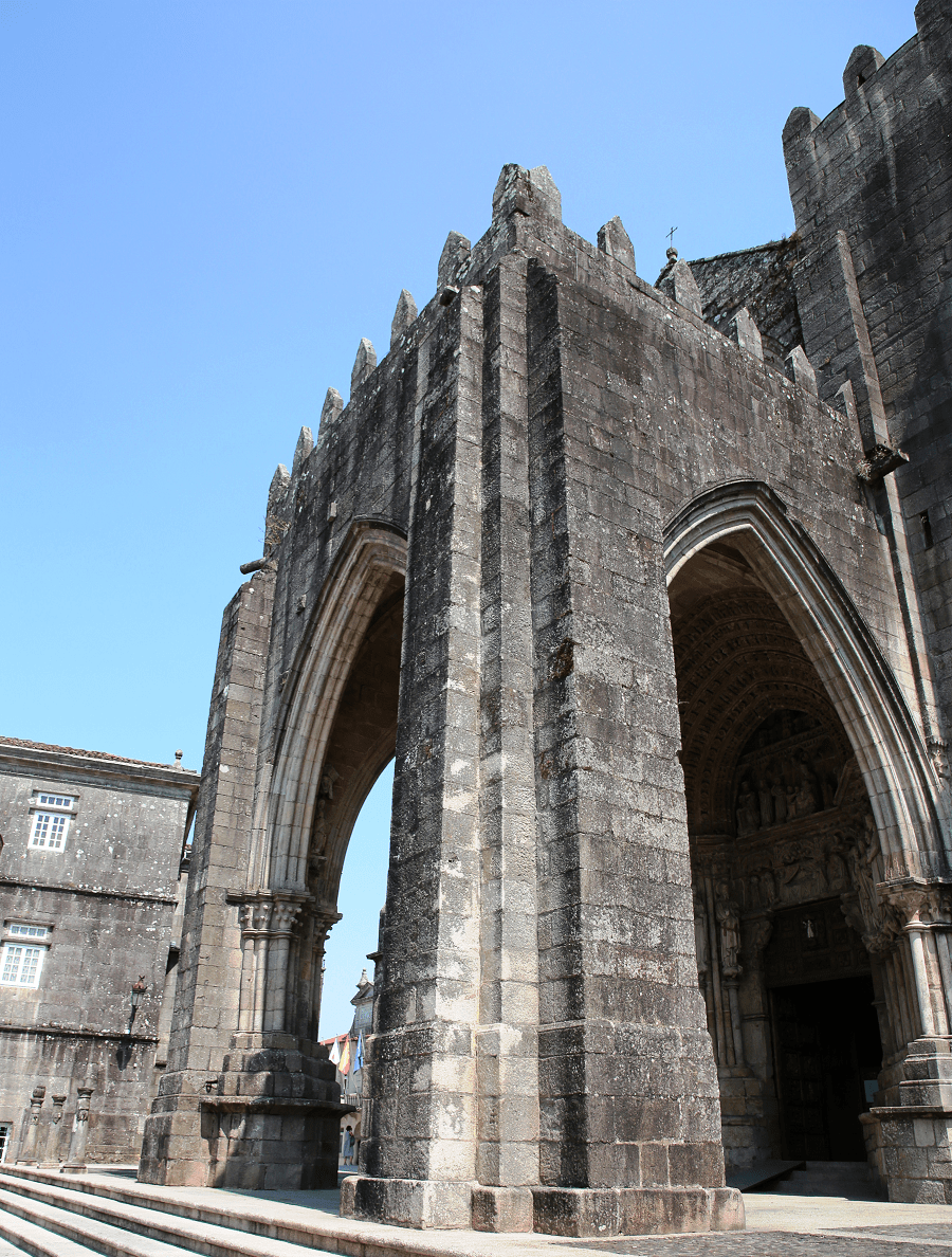
Santiago de Compostela or Santiago is a city and municipality, capital of the autonomous community of Galicia. The Galician regional government and the Parliament of Galicia have their headquarters there. The ancient city of Santiago has been a UNESCO World Heritage Site since 1985. It stands out for being one of the three great pilgrimage centers of Christianity, along with Jerusalem and Rome, by pointing out the tradition that the Saint James the Greater was buried there.
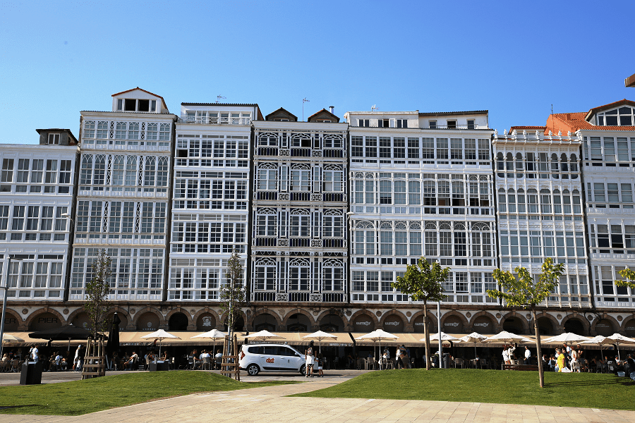
A Coruña is the most populated city in Galicia and the second most populated municipality in the autonomous community and seventeenth overall in the country. The city is the provincial capital of the province of the same name, having also served as political capital of the Kingdom of Galicia from the 16th to the 19th centuries.
Fisterra is a city and a municipality in the province of A Coruña. Fisterra stands on Cape Finisterre, the final destination for many pilgrims on the Way of St. James. In Roman times it was believed to be an end of the known world.
Full travel guide (by provinces)
A Coruña province
A Ponte Maceira and its bridge
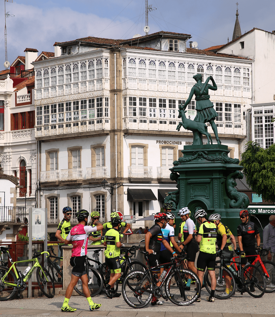
Betanzos – the capital of Galician Gothic
Cape of Touriñán – the westernmost point of inland Spain
Corcubión – a Historic-Artistic Site
Estaca de Bares lighthouse – the northernmost point of inland Spain
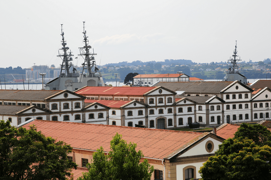
Ferrol – the capital of the Spanish Navy’s Maritime Department of the North
Laxe and its famous city beach
Malpica – a northernmost part of the Costa da Morte
O Porto de Bares – the northernmost resort of mainland Spain
Pontedeume – the gate to the Fragas del Eumenota Natural Park
Santiago de Compostela – a UNESCO World Heritage Site
Rianxo is famous for its mussels cultivation
Ribeira is famous for its archaeological heritage
Lugo province
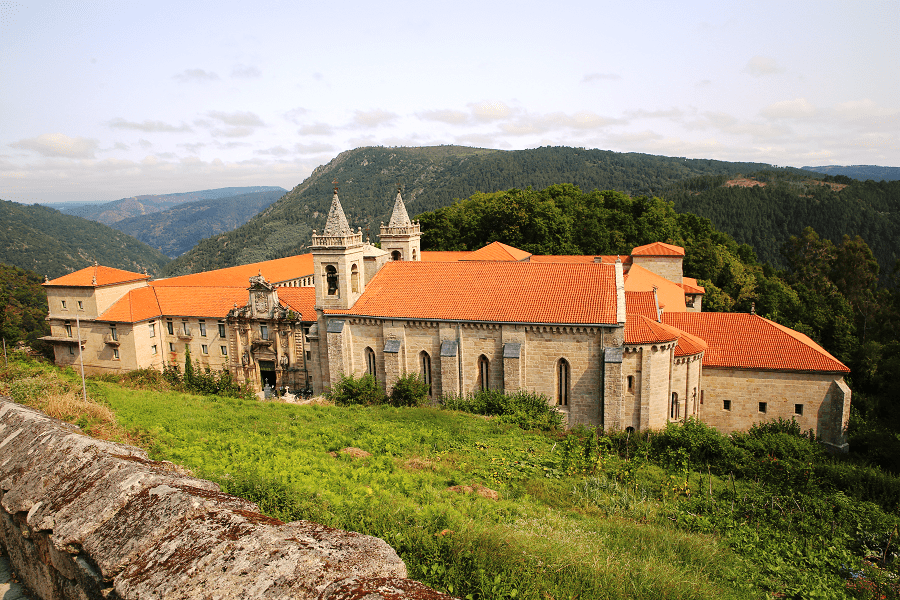
Monastery of San Vicente del Pino
Monastery of San Xulián de Samos
Monastery of San Salvador de Ferreira
Monforte de Lemos and its attractions
Ribadeo – the easternmost resort of the Rías Altas
Ourense province
Castro Caldelas and its castle
Celanova and its Monastery of San Salvador
Monastery of San Esteban de Ribas del Sil
Monastery of Santa María de Melón
Monastery of Santa María de Oseira
Ourense – one of the European cities with the greatest thermal heritage
Ribadavia – a Historical Artistic Site since 1947
Pontevedra province
A Guarda – a southernmost part of the Rías Baixas resorts
Aldán and its San Cibrán beach
Baiona was the first city in Europe to receive news of the discovery of America
Cambados is famous for its Albariño wine
Hórreos de Combarro – a Historic Site famous for its stone granaries
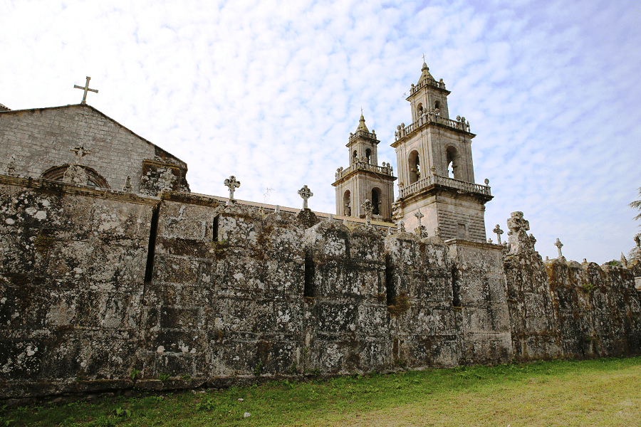
Monastery of San Salvador de Lérez
Monastery of the Benedictine Mothers in Cuntis
Monastery of San Lourenzo de Carboeiro
O Porriño known for its granite production
Pontevedra – a Historic-Artistic Site
Sanctuary of Nosa Señora do Corpiño
Sanxenxo with its 36 km of beaches
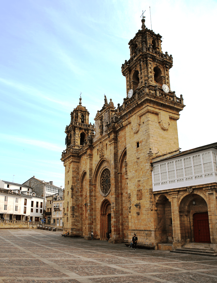
Tui and its Cathedral of Santa María
Vigo – one of the economic engines of Galicia
Vilagarcía de Arousa and its beaches
Sea resorts
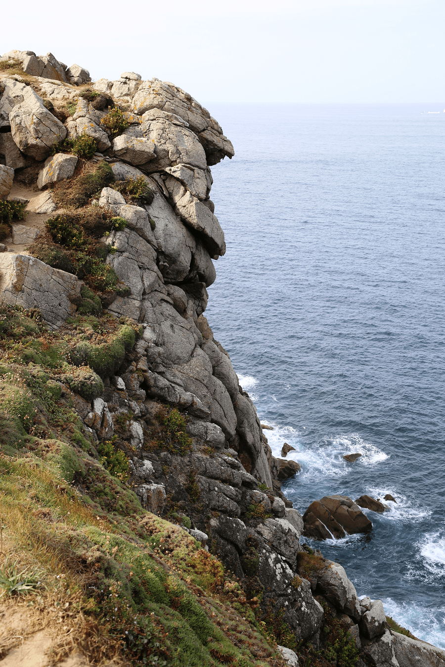
Galicia has over 1,660 km of coastline, including its offshore islands and islets, among them Cíes Islands, Ons, Sálvora, Cortegada Island, which together form the Atlantic Islands of Galicia National Park, and the largest and most populated, A Illa de Arousa.
From north to south:
Camino de Santiago
The Camino de Santiago, known in English as the Way of St. James, is a network of pilgrims’ ways or pilgrimages leading to the shrine of the apostle Saint James the Great in the cathedral of Santiago de Compostela in Galicia in northwestern Spain, where tradition holds that the remains of the apostle are buried.
Economy
A major economic sector of Galicia is its fishing Industry; the main ports are A Coruña, Marín-Pontevedra, Vigo and Ferrol. Related to this fact, the European Fisheries Control Agency, which coordinates fishing controls in European Union waters, is based in Vigo.
Transport and how to get to?
Galicia’s main airport is Santiago de Compostela Airport (Santiago–Rosalía de Castro Airport, SCQ). It connects the Galician capital with cities in Spain as well as several major European cities. There are two other domestic airports in Galicia: A Coruña Airport – Alvedro and Vigo-Peinador Airport.
The most important Galician fishing port is the Port of Vigo; It is one of the European’s leading fishing ports, with an annual catch worth 1,500 million euros.
Galicia today has roughly 1,100 km of rail lines. Several 1,668 mm Iberian gauge lines operated by Adif and Renfe Operadora connect all the important Galician cities. A 1,000 mm metre gauge line operated by FEVE connects Ferrol to Ribadeo and Oviedo. An electrified line is the Ponferrada-Monforte de Lemos-Ourense-Vigo line.
Several high-speed rail lines are under construction. Among these are the Olmedo-Zamora-Galicia high-speed rail line that opened partly in 2011, and the AVE Atlantic Axis route, which will connect all of the major Galician Atlantic coast cities A Coruña, Santiago de Compostela, Pontevedra and Vigo to Portugal. Another projected AVE line will connect Ourense to Pontevedra and Vigo.
Distances by car from Santiago de Compostela to the main cities of Spain:
From Madrid 5 hr 45 min (601 km) via A-6 and A-52
From Oviedo 3 hr 19 min (326 km) via A-8
From Santander 4 hr 52 min (492 km) via A-8
From Vitoria-Gasteiz 6 hr 4 min (599 km) via A-231 and A-6
From Pamplona 6 hr 56 min (695 km) via A-231
From Zaragoza 7 hr 41 min (783 km) via AP-68
From Barcelona 10 hr 33 min (1,087 km) via AP-2
From Valladolid 4 hr 23 min (449 km) via A-52
From Toledo 6 hr 18 min (668 km) via A-6 and A-52
From Valencia 9 hr 10 min (959 km) via A-3
From Mérida 6 hr 37 min (697 km) via A-66 and A-52
From Murcia 9 hr 10 min (1,005 km) via A-52
From Seville 8 hr 26 min (890 km) via A-66
From Logroño 6 hr 24 min (616 km) via A-6 and A-231
Languages
Two languages are official and widely used today in Galicia: the native Galician, a Romance language closely related to Portuguese with which it shares the Galician-Portuguese medieval literature; and Spanish, usually called Castilian. While most Galicians are bilingual, a 2019 survey reported that 52% of the Galician population spoke Galician most often on a day-to-day basis, while 48% most often used Spanish.
Main information
Area: 29 575 sq. km
Coordinates: 42°45′18″N 7°51′58″W
Population: 2 701 819
Languages: Spanish, Galician
Currency: Euro
Visa: Schengen
Time: Central European UTC +1


