

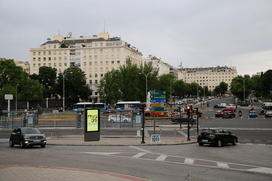
Chamberí is a 7th district belonging to Madrid, Community of Madrid, Spain, and administratively organized into six neighborhoods (Gaztambide, Arapiles, Trafalgar, Almagro, Ríos Rosas and Vallehermoso). It is part of the so-called central core of the city, has a population of nearly 150,000 inhabitants and is delimited by the following streets.
Borders
To the west: Calle de la Princesa, Calle de Meléndez Valdés, Calle del Arcipreste de Hita, Calle de Isaac Peral, Plaza de Cristo Rey and Paseo de Juan XXIII. It borders the district of Moncloa-Aravaca.
To the south: Calle de Alberto Aguilera, Glorieta de Ruiz Jiménez, Calle de Carranza, Glorieta de Bilbao, Calle de Sagasta, Plaza de Alonso Martínez, Calle de Génova and Plaza de Colón. It borders the districts of Centro and Salamanca.
To the east: Paseo de la Castellana, Plaza de San Juan de la Cruz and Plaza Doctor Marañón, the Emilio Castelar roundabout, the Enrique de la Mata Gorostizaga overpass and Plaza de Colón. It borders the districts of Chamartín and Salamanca.
To the north: Avenidas de Moncloa and Reina Victoria, the Cuatro Caminos roundabout and Calle Raimundo Fernández Villaverde. It borders the districts of Moncloa-Aravaca and Tetuán. Historically, part of its territory is one of the cradles of Madrid’s traditional style.
Architecture and urban planning
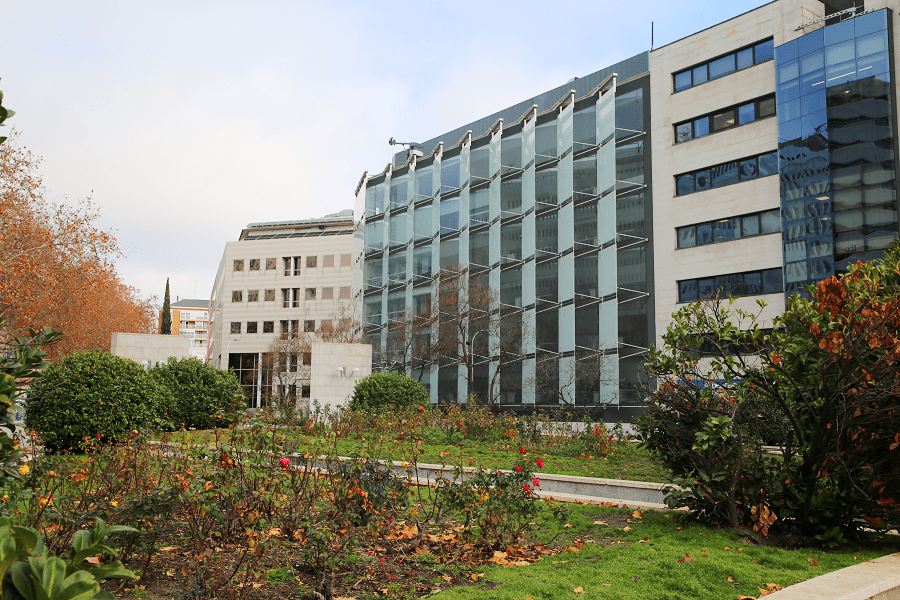
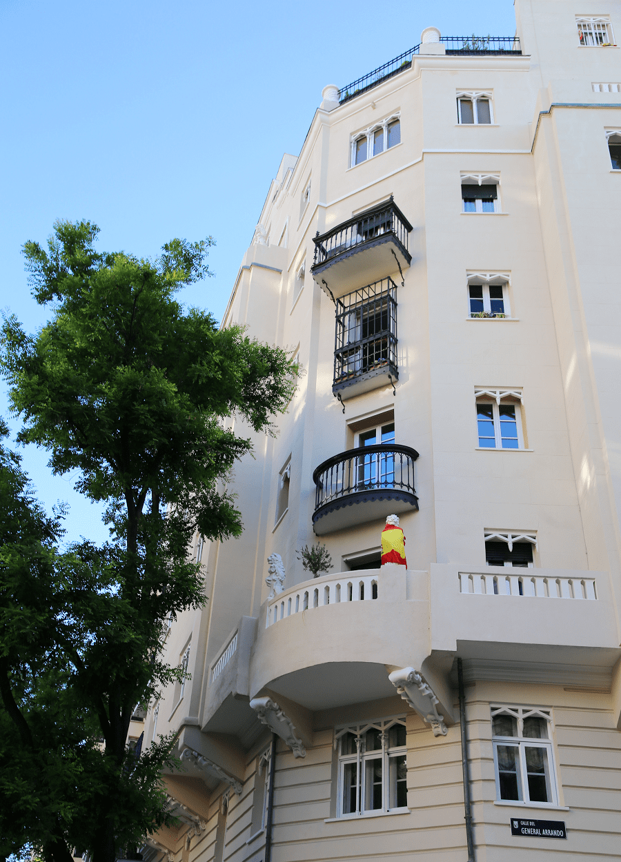
The architectural interest of this district lies in the extraordinary abundance of modernist, neo-Gothic and neo-Mudejar buildings that have been preserved, not only residential houses (especially in the Almagro and Trafalgar neighbourhoods), but also institutions (the San Diego and Almagro Asylums, the San Rafael and El Porvenir schools, the Patronato de Enfermos, etc.), churches (Los Ángeles, Salesas Reales, Santuario del Perpetuo Socorro) and infrastructure (Fire Station, Canal de Isabel II facilities, etc.). It is also home to two jewels of rationalism: the Vallehermoso Service Station and the Casa de las Flores.

Buildings declared a National Monument
- Asylum of the Little Sisters of the Poor, Almagro Street 1.
- Asylum of San Diego, Eduardo Dato Avenue 4.
- House of Flowers, Hilarión Eslava Street/Meléndez Valdés Street.
- School of the Divine Shepherdess, Santa Engracia Street 140-142.
- School of La Salle San Rafael, Guzmán el Bueno Street 32, corner of Fernando el Católico 49.
- Convent of the Royal Salesians (First Monastery of the Visitation of Our Lady, MM. Salesians), Santa Engracia Street 18-20.
- El Porvenir School, Bravo Murillo Street, 85.
- Convent of the Paules Fathers, García Paredes Street 45.
- Convent of the Servants of Mary, Chamberí Square 8.
- Water Reservoir and Fountain of the Canal de Isabel II, Bravo Murillo Street/Cea Bermúdez Street and Santa Engracia Street/José Abascal Street.
- British Council, Paseo del General Martínez Campos.
- Higher School of Mining Engineers, 21 Ríos Rosas Street
- Petróleos Portopí Gas Station, Alberto Aguilera Street/Vallehermoso Street.
- Beti-Jai Fronton, 7 Marqués del Riscal Street.
- Maudes Hospital (former Day Laborers Hospital, today headquarters of the Territorial Planning Department of the Community of Madrid), Maudes Street.
- Homeopathic Institute and San José Hospital, 3 Eloy Gonzalo Street.
- Church of Nuestra Señora de los Ángeles, 93 Bravo Murillo Street.
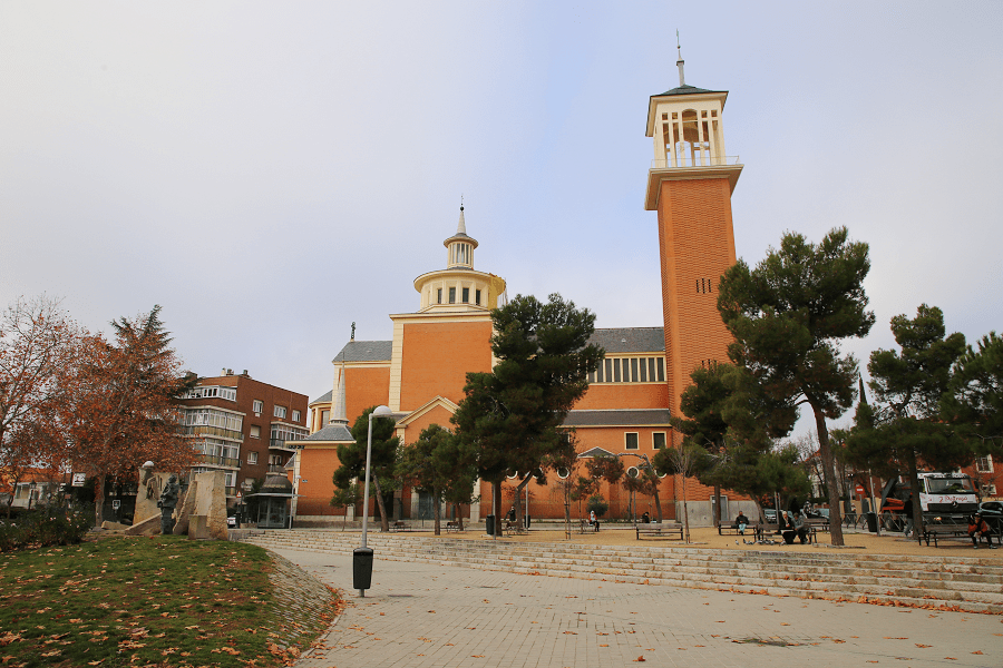
- Church of San Fermín de los Navarros, Paseo Eduardo Dato.
- National Geographic Institute (formerly Geographic and Cadastral Institute), Paseo del General Ibáñez Ibero.
- International Institute, Calle Miguel Ángel, 8. Building designed in 1906 by Joaquín Saldaña López, and built between 1906 and 1911.
- Geological and Mining Institute of Spain, Calle Ríos Rosas 23.
- Valencia de Don Juan Institute, Calle Fortuny 43.
- Sorolla Museum, Paseo del General Martínez Campos.
- Villamejor Palace, Paseo de la Castellana 3.
- Fire station and municipal offices, Calle Santa Engracia 116.
- Residence for Young Ladies (Arniches Building), Calle Fortuny 56.
Museums and libraries
- Library of the International Institute, Miguel Ángel street 8, specializing in Spanish and North American culture.
- Museum of Geology, Ríos Rosas street 21.
- Museum of the “Valencia de Don Juan” Institute, Fortuny street 43.
- Sorolla Museum, Paseo del General Martínez Campos.
- Museum of Open-Air Sculpture, Eduardo Dato/Castellana promenades.
- Exhibition Hall of the Ministry of Public Works, in the Nuevos Ministerios.
- Exhibition Hall of the Canal de Isabel II Depot, Santa Engracia street 134.
- Ruiz Egea Public Library, Raimundo Fernández Villaverde street 6, specializing in film and music.
- Madrid Metro Museum (Plaza de Chamberí).
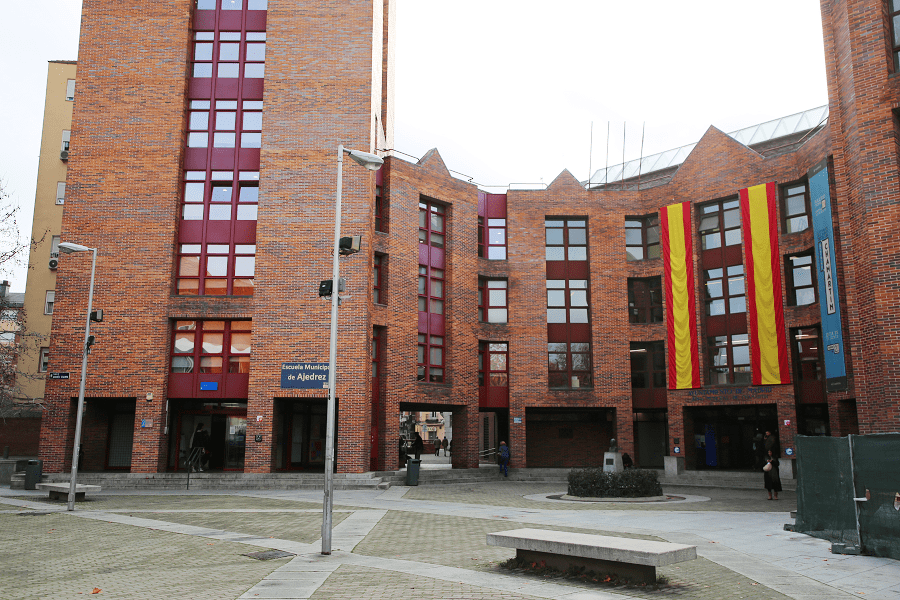
Parks and gardens
In one of the districts with the largest amount of undeveloped land, one of its biggest deficiencies was, paradoxically, the green areas, since the free land is occupied by the regulating reservoirs of the Canal de Isabel II. In an attempt to provide the district, this institution has made these lands available to it, where, for now, the Enrique Herrero Gardens, the Santander Park and the Third Canal Depot Sports and Leisure Centre have been opened. In the near future, reservoir number two will also be opened to the public.
On the other hand, there are numerous landscaped squares (Olavide, Teniente de Alcalde Pérez-Pillado, Conde del Valle de Súchil, etc.) to which we must add some areas recovered as a park in front of the Basilica of the Santísimo Cristo de la Victoria, in the Galileo Cultural Centre or in part of the site of the former Escuelas Pías on Calle de Gaztambide.
Most of the district’s streets are completely covered in trees, on both pavements when the width of the street allows it. Of particular interest are the streets of Santa Engracia and General Álvarez de Castro, which maintain the double row of trees, and the widening of the section of Fuencarral Street between the Quevedo and Bibao roundabouts. The main species that appear are: “Pisardi” plums, hibiscus, acacias, horse chestnuts, hackberry trees and London plane trees. The population of mulberry trees in the Mobile Park and the century-old cedars of the various facilities of the Canal de Isabel II are also magnificently preserved.
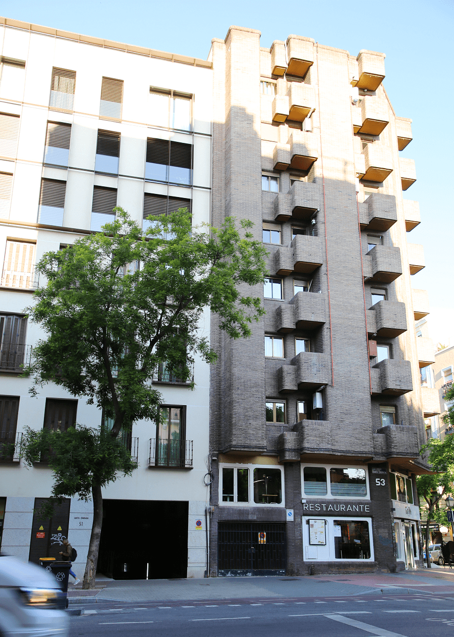
Transport
Two stations, Nuevos Ministerios and Recoletos, are located in the northeast end of the district, and in one of them you can take trains on lines C-1, C-2, C-3, C-4, C-7, C-8 and C-10 and in the other C-1, C-2, C-7, C-8 and C-10.
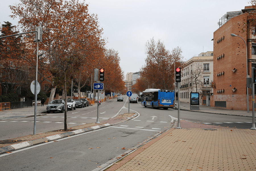
Its strategic location in the centre-north of the city makes Chamberí a district that has been very well connected to the rest of the city since early on, especially by Metro:
- Since 1919, Line 1 has been one of the lines that provide the backbone of transport in this district, running under the streets of Santa Engracia and Luchana. It has five stations that serve the district: Cuatro Caminos, Ríos Rosas, Iglesia, Bilbao and Tribunal. Chamberí station has been out of service since 1966, and is currently home to the Madrid Metro Museum “Andén 0”.
- Since 1925, Line 2 has also provided the backbone of the district, running under the streets of Bravo Murillo and San Bernardo with four stations, Cuatro Caminos, Canal, Quevedo and San Bernardo.
- Since 1941, Line 3 has had two stations on Princesa Street: Moncloa and Argüelles.
- Line 4 serves the southern part with the stations of Argüelles, San Bernardo, Bilbao, Alonso Martínez, Colón, Serrano and Velázquez.
- Line 5 has two stations within the district in the so-called Golden Triangle: Rubén Darío and Alonso Martínez.
- Line 6 serves the northern part by running under Avenida de Reina Victoria and Calle Raimundo Fernández de Villaverde. It has eight stations serving the district: República Argentina, Nuevos Ministerios, Cuatro Caminos, Guzmán el Bueno, Vicente Aleixandre, Ciudad Universitaria, Moncloa and Argüelles.
- Line 7 has crossed the district from west to east since 1998 and has five stations within it: Guzmán el Bueno, Islas Filipinas, Canal, Alonso Cano and Gregorio Marañón.
- Line 8 serves the northeast end of the district with a single station under Paseo de la Castellana: Nuevos Ministerios.
- Line 10 serves the eastern part of the district with four stations: Tribunal, Alonso Martínez, Gregorio Marañón and Nuevos Ministerios.
Madrid: full guide
- Administrative structure
- Architecture
- Churches and Cathedrals
- Entertainment
- Monuments
- Museums
- Parks and gardens
- Restaurants
- Shopping and markets
- Squares
- Streets
- Transport
See here Pyrenees travel guide
See here France travel guide
See here Spain travel guide




