
Tetuán is a 6th district belonging to Madrid, Community of Madrid, Spain, and administratively organized into six neighborhoods: Bellas Vistas, Cuatro Caminos, Castillejos, Almenara, Valdeacederas and Berruguete.
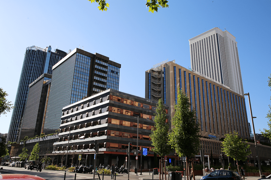
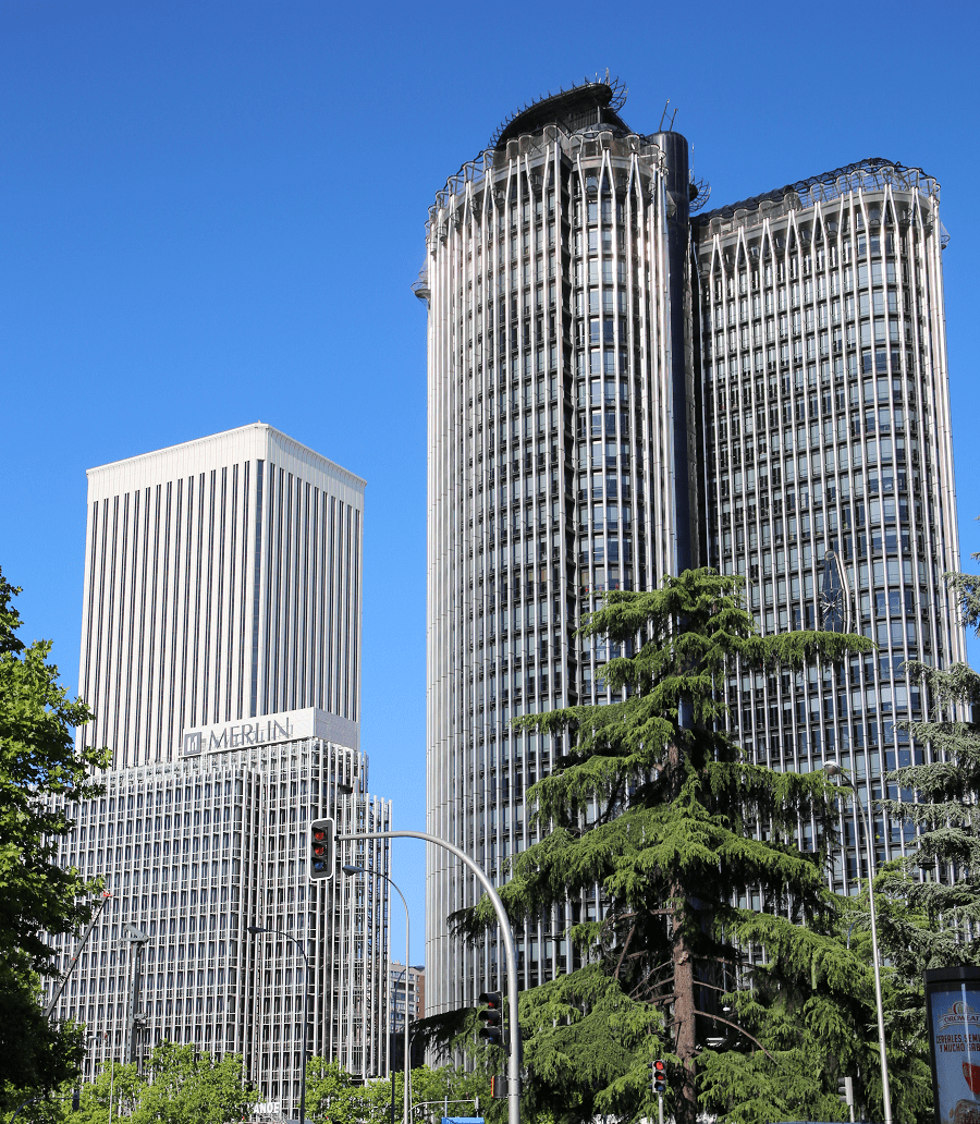
The district of Tetuán is very heterogeneous, both architecturally and socially. In it we can find everything from modern skyscrapers, in the AZCA complex, the financial center of Madrid, to small rural or semi-rural houses, inherited from the neighborhood in its origins, in the western part of the district. Bravo Murillo Street, formerly O’Donnell Street in its first section from the Glorieta de Cuatro Caminos, and formerly the “bad” Carretera de Francia, in its final section, is the backbone of the district.

Boundaries
The district is bordered by the following streets:
- Paseo de la Castellana: establishes the boundary with Chamartín.
- Calle de Sinesio Delgado: establishes the boundary with Fuencarral-El Pardo.
- Calle de Villaamil: establishes the boundary with Moncloa-Aravaca.
- Calle de Ofelia Nieto: establishes the boundary with Moncloa-Aravaca.
- Avenida de Pablo Iglesias: establishes the boundary with Moncloa-Aravaca.
- Avenida de la Reina Victoria: establishes the boundary with Chamberí.
- Calle de Raimundo Fernández de Villaverde: establishes the boundary with Chamberí.
History
When Leopoldo O’Donnell returned with his forces to Spain after the 1859–60 African War, the latter camped at a spot north of Madrid known as the Campos de Amaniel (“Fields of Amaniel”) while a triumphal entry into the capital was being arranged for May 11th. Some authors link the origin of the neighborhood to the camp, which would have acquired permanent structures as well as shops over time. The area was renamed Tetuán de las Victorias (“Tetouan of the Victories”), after Tetouan, the Moroccan city where the victorious soldiers had come from. Other authors claim that there were earlier buildings on the area.
The current district also comprises part of the territory of the former municipality of Chamartín de la Rosa, annexed by the municipality of Madrid in 1948.
The community is culturally diverse, with significant populations of African and South American immigrants, although Filipinos constitute the largest foreign population group in the district. Filipinos form the largest immigrant group in four of the district’s six neighborhoods (Bellas Vistas, Berruguete, Castillejos and Cuatro Caminos), and the majority of Madrid’s Filipino community lives in the district.

Architecture
Some areas of Tetuán have old and modest housing, characterised by one or two storeys and a rural appearance. The older ones are in a popular Neo-Mudéjar style with decorations in brick. They were self-built by masons who brought home a cheaper version of the techniques they were paid to apply in the then-building Ensanche of Madrid. Those areas are contrasted by the business area of AZCA (Cuatro Caminos neighborhood), located in the southeastern corner of the district, and that features skyscrapers such as the Torre Picasso. Many neighbors frame the contrast in terms of a dichotomy lined up along the calle de Bravo Murillo: East of the street–rich; West of the street–poor.
Tetuán hosts the Madrid Central Mosque, the oldest and one of the two most important mosques in Madrid along the M-30 mosque.
Transport
One station, Nuevos Ministerios, is located at the southeastern end of the district, and you can take trains on lines C-1, C-2, C-3, C-4, C-7, C-8 and C-10 from it.
- Since 1929, line 1 has been the main line that links the railway transport in this district, running under Bravo Murillo Street. It has six stations that serve the district: Plaza de Castilla, Valdeacederas, Tetuán, Estrecho, Alvarado and Cuatro Caminos.
- Line 2 serves the southern part of the district with its terminal station, Cuatro Caminos.
- Line 6 also serves the southern part, running under Raimundo Fernández de Villaverde Street. It has two stations that serve the district: Nuevos Ministerios and Cuatro Caminos.
- Line 7 serves the western part of the district with a single station under Avenida de Pablo Iglesias: Francos Rodríguez.
- Line 8 serves the southeastern end of the district with a single station under Paseo de la Castellana: Nuevos Ministerios.
- Line 9 serves the north of the district with stations under Avenida de Asturias: Ventilla and Plaza de Castilla.
- Line 10 (formerly line 8) serves the eastern part of the district by running under Paseo de la Castellana. It has four stations serving the district: Plaza de Castilla, Cuzco, Santiago Bernabeu and Nuevos Ministerios.

Madrid: full guide
- Administrative structure
- Architecture
- Churches and Cathedrals
- Entertainment
- Monuments
- Museums
- Parks and gardens
- Restaurants
- Shopping and markets
- Squares
- Streets
- Transport

See here Pyrenees travel guide
See here France travel guide
See here Spain travel guide