

Fuencarral-El Pardo is the 8th of the 21 districts that make up the city of Madrid, Community of Madrid, Spain.
Administratively it is divided into the neighbourhoods of El Pardo (81), Fuentelarreina (82), Peñagrande (83), Pilar (84), La Paz (85), Valverde (86), Mirasierra (87) and El Goloso (88).
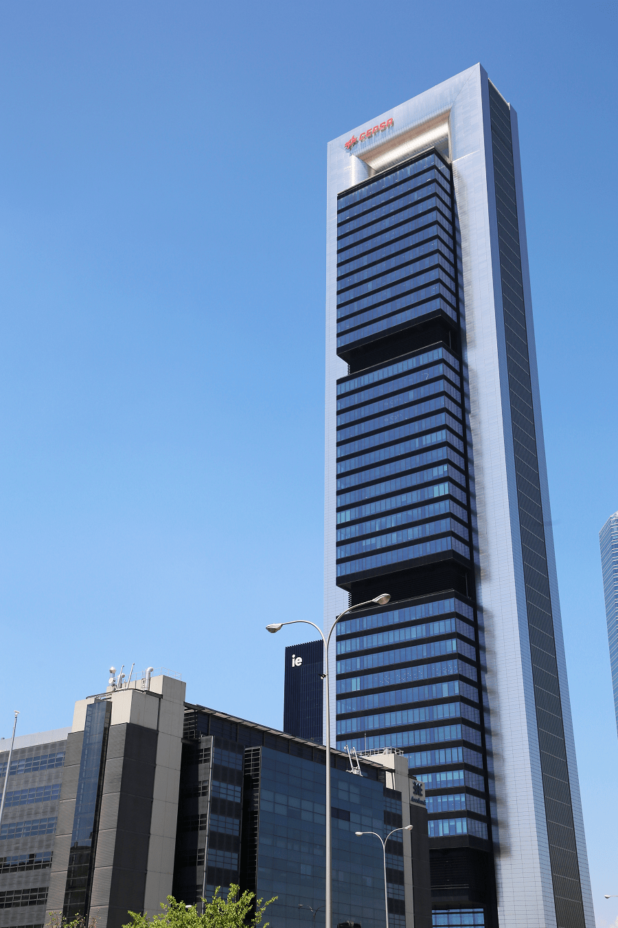
This district is the largest in area, but not the most populated. As Monte de El Pardo is located within it, urbanised areas represent less than 50% of the district. It is also a business district, as many large companies have their headquarters there. It represents the northern end of the city and is one of the greenest as it is close to the border between the city and the forested areas of the north.
In the northernmost part of the district is the Puente de la Marmota. Another point far from the urban centre is the Soto de Viñuelas.

Boundaries
The district is delimited by:
To the north, it borders the municipalities of Hoyo de Manzanares, Colmenar Viejo and Tres Cantos along the Regional Park of the Upper Manzanares Basin and through the M-607 (Colmenar Viejo Highway), in the neighborhood of El Pardo (including the Puente de la Marmota) and El Goloso.
To the northeast, it borders the Soto de Viñuelas urbanisation (Tres Cantos), the municipality of San Sebastián de los Reyes (including the Ciudalcampo urbanisation, the Fuente del Fresno urbanisation, the La Granjilla urbanisation and Dehesa Boyal) and that of Alcobendas (including the Tanatorio Parque Cementerio de la Paz which administratively forms part of the town of Alcobendas, Monte de Valdelatas, the division formed in Cantoblanco through the M-616 El Goloso-Alcobendas road, and the urban continuum formed at the height of the Telefónica District with the La Moraleja Business Park through the M-603 Fuencarral-Alcobendas road and the road that leads to the Alcobenda avenue of Monte Valdelatas), in the neighbourhoods of El Pardo, El Goloso and Las Tablas.
To the northwest, it borders the population centre of Las Matas (Las Rozas de Madrid), the population centre of Los Peñascales and the Finca El Pendolero (Torrelodones) in the El Pardo neighbourhood.
To the south, it borders the district of Tetuán (in the Valdeacederas neighbourhood) separated by Villaamil Street in the El Pilar neighbourhood, and with the district of Moncloa-Aravaca (in the Valdezarza neighbourhood and the residential area of Ciudad Puerta de Hierro) separated by Valle de Mena Street (the even numbers are part of Fuencarral-El Pardo), the Doctor Luis Montes Mieza roundabout, the M-30 (in the Avenida de la Ilustración sector), the Issac Rabin roundabout and the Francisco Bayeu y Subías roundabout in the Peñagrande neighbourhood.

To the southeast, it borders the district of Tetuán (in the Almenara neighborhood), separated by Sinesio Delgado Street (even numbers are part of Fuencarral-El Pardo) in the La Paz neighborhood.
To the southwest, it borders the district of Moncloa-Aravaca separated by the La Florida urbanization and the M-40 highway in the El Pardo neighborhood, and the division of Arroyofresno Street together with the intersection formed by the M-605 (Carretera de El Pardo) and M-30 highways in the Fuentelarreina neighborhood (bordering the Ciudad Puerta de Hierro residential area).
To the east, it borders the district of Hortaleza (bordering the Sanchinarro area), separated by the A-1 in the Las Tablas area, and with the district of Chamartín (bordering the Castilla neighbourhood) in the La Paz neighbourhood, separated by the M-30 motorway and the Paseo de la Castellana (odd numbers form part of Fuencarral-El Pardo in this section).
To the west, it borders the municipality of Las Rozas de Madrid in the El Pardo neighbourhood (including the population centre of Mingorrubio).
Attractions
It has the Zapadores Museum, City of Art, an art space with 23,000 square meters opened in 2018 in the old barracks.
The Royal Palace of El Pardo is a historic building administered by the Patrimonio Nacional agency. It serves as the state guest house of the Spanish Government.
Transport
The following stations are located within this district, belonging to lines C-3, C-7 and C-8:
- Ramón y Cajal (Valverde)
- Pitis (Mirasierra)
- Mirasierra-Paco de Lucía (Mirasierra)
And, belonging to the C-4:
- Fuencarral (Valverde)
- Cantoblanco University (El Goloso)
- El Goloso (El Goloso).
- Comillas Pontifical University (El Goloso)
With a complex and structured underground transport line, the Madrid metro has 13 lines, 3 Light Rail lines and several links that continue to expand throughout the Community of Madrid. 4 of them run through the Fuencarral-El Pardo district, lines 7, 9, 10 and Light Rail 1.

Madrid: full guide
- Administrative structure
- Architecture
- Churches and Cathedrals
- Entertainment
- Monuments
- Museums
- Parks and gardens
- Restaurants
- Shopping and markets
- Squares
- Streets
- Transport

See here Pyrenees travel guide
See here France travel guide
See here Spain travel guide




