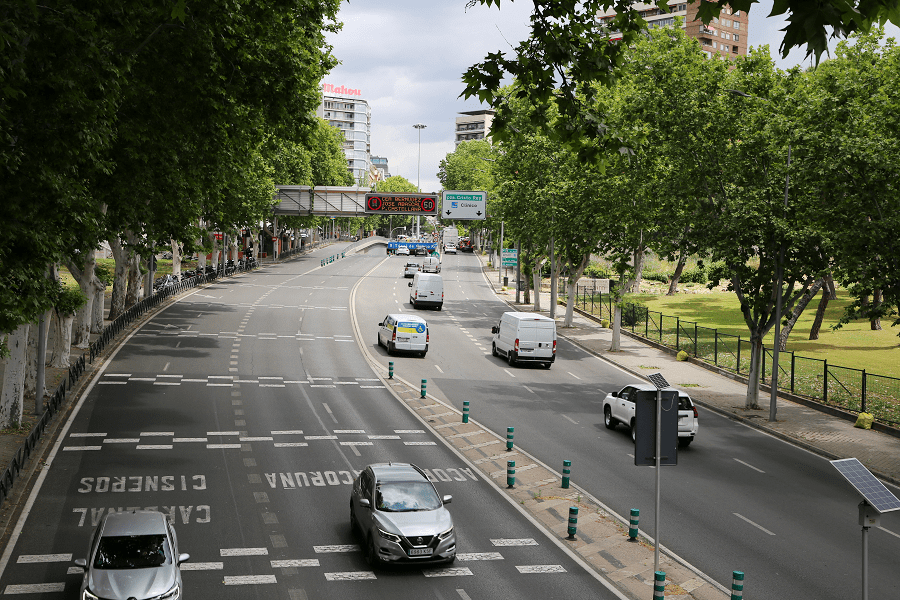

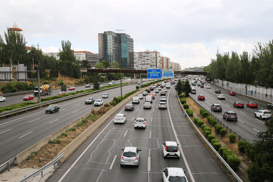
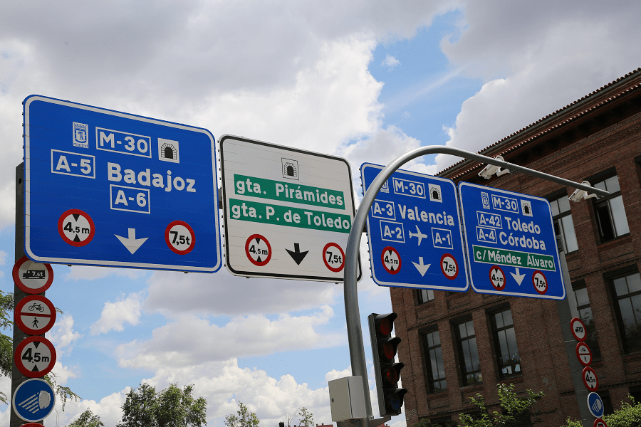
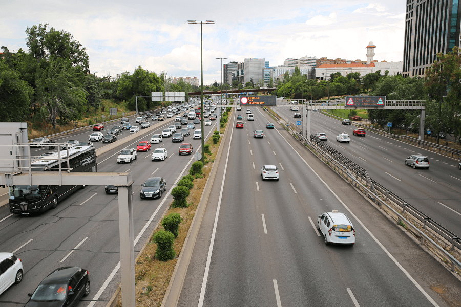
Madrid, Community of Madrid, Spain, has a series of ring roads around it. These are the M-30, which delimits the central core of the city, the M-40, in the residential areas of the city, the M-45, bordering the municipality, and the M-50, in the metropolitan area. These highways serve to avoid having to cross the city to go from one point to another in the periphery.
History
The outward expansion of Madrid after 1960 was supported by a growing network of radial roads. Above all these enabled commuter movements to the city centre. It also became necessary to create the first orbital autovía, the M30, which was intended to facilitate the passage of long-distance traffic, but became invaded by local traffic.
The scheme implemented at the end of the 1980s consisted of nine radial autovías (those toward Burgos, Barcelona, Valencia, Andalusia, Toledo, Extremadura, A Coruña) but just the one orbital route – the M-30. Three further orbital routes, each at a greater distance from the centre, were added in the 1990s and 2000s. These are designated M40, M45 and M50.
M-30
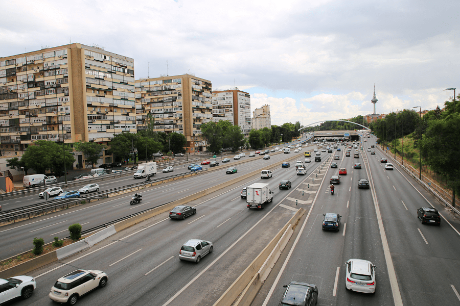
The M-30 is a ring road, with the characteristics of a motorway (except for a section to the north called “Avenida de la Ilustración”), which surrounds the centre (“central core”) of Madrid.
It is 32.5 km long with an average radius of 5.17 km with respect to Puerta del Sol and an average traffic intensity of 304,423 vehicles per day, making it the busiest road in Spain. It has the particularity of being the only Spanish motorway owned by a city council.
M-40
The M-40 is a ring road in Madrid, with a length of 61.1 km and an average radius of about 10.07 km with respect to Puerta del Sol.
The motorway is called M-40 because it is the theoretical fourth ring road in Madrid. It is part of the European routes E-5 and E-90.
The first ring road, M-10, would be formed by the streets that follow the old layout of the fence of Philip IV that once surrounded the city: the lower part of the Cuesta de la Vega, Ronda de Segovia, Puerta de Toledo, Ronda de Toledo, Glorieta de Embajadores, Ronda de Valencia, Ronda de Atocha, Glorieta de Atocha, outer wall of the Retiro (currently, Calle de Menéndez Pelayo, the first section of Calle de O’Donnell and Calle de Alcalá), Paseo de Recoletos to the current Plaza de Colón, and the “boulevards”.
M-45
The M-45 is a ring road belonging to the Main Network of the Community of Madrid, with a length of 34.8 km. It runs from the M-40 motorway, in the Madrid district of Carabanchel, at exit 28-B, to the municipality of San Fernando de Henares, where it joins the M-50 motorway. This motorway connects five dual carriageways and motorways: R-3, A-3, A-4, A-42 and R-5.
M-50
The M-50, officially called the Madrid Ring Road is the outermost of the ring roads of Madrid and its metropolitan area. The motorway is 85 kilometres long and has a horseshoe shape open to the north, running at an average distance of 13.5 km from Puerta del Sol. The motorway is owned by the General Directorate of Roads of the Ministry of Transport, Mobility and Urban Agenda and is managed by the shadow toll system, whose concessionaire is Accesos de Madrid.
Madrid: full guide
- Administrative structure
- Architecture
- Churches and Cathedrals
- Entertainment
- Monuments
- Museums
- Parks and gardens
- Restaurants
- Shopping and markets
- Squares
- Streets
- Transport
See here Pyrenees travel guide
See here France travel guide
See here Spain travel guide