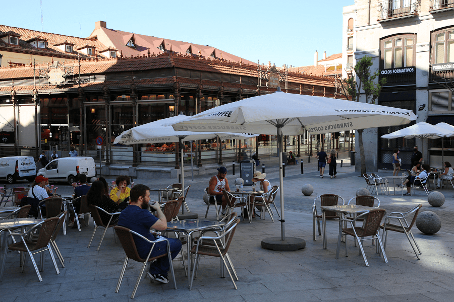

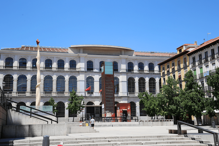
Centro is a district of Madrid, Community of Madrid, Spain. It is approximately 5.23 km2 (2.02 sq mi) in size. It has a population of 149,718 people and a population density of 28,587 people/km2 (74,040 people/sq mi).
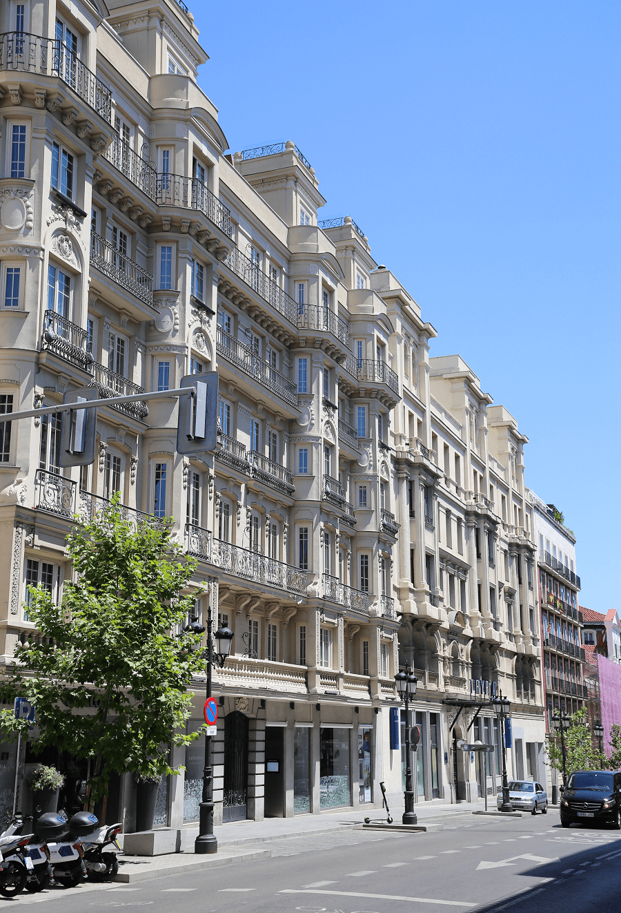
It roughly corresponds to the bulk of the housing formerly enclosed by the so-called Walls of Philip IV of Spain.
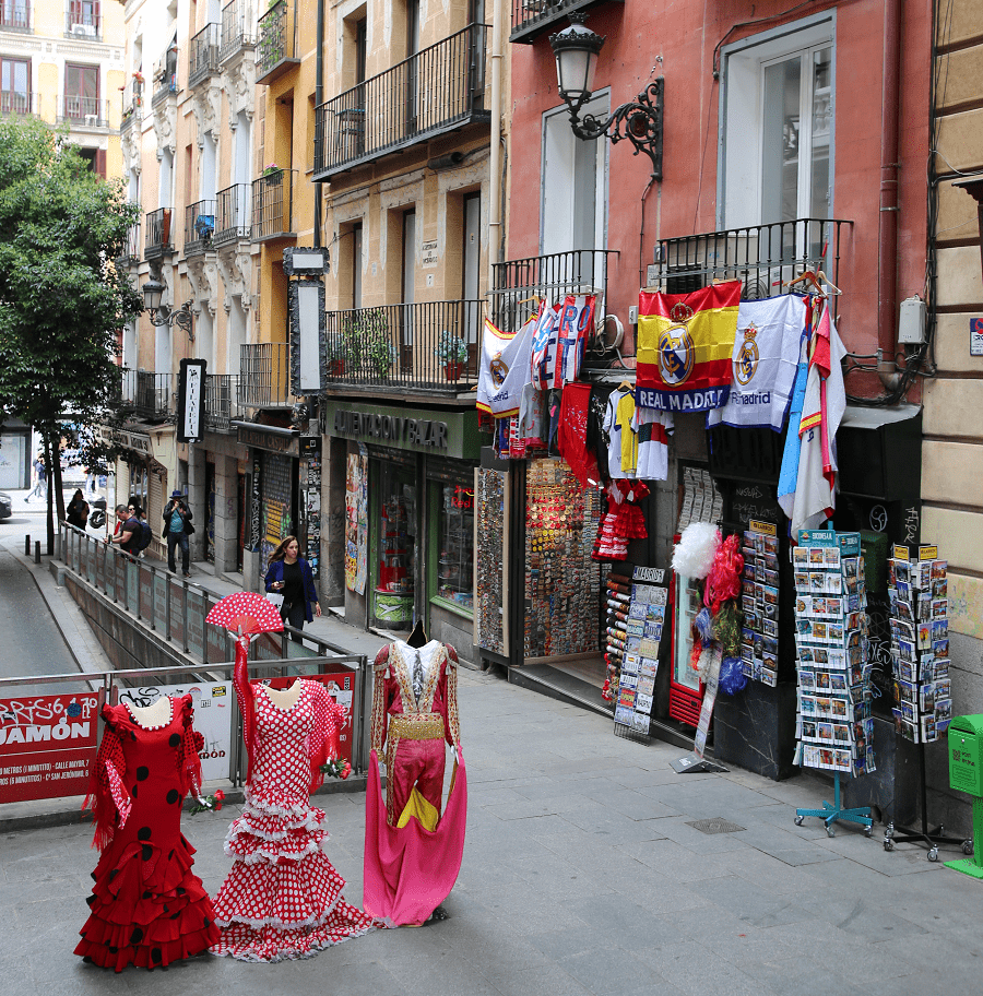
The district is made up of the neighbourhoods of Cortes, Embajadores, Justicia, Universidad, Palacio and Sol.
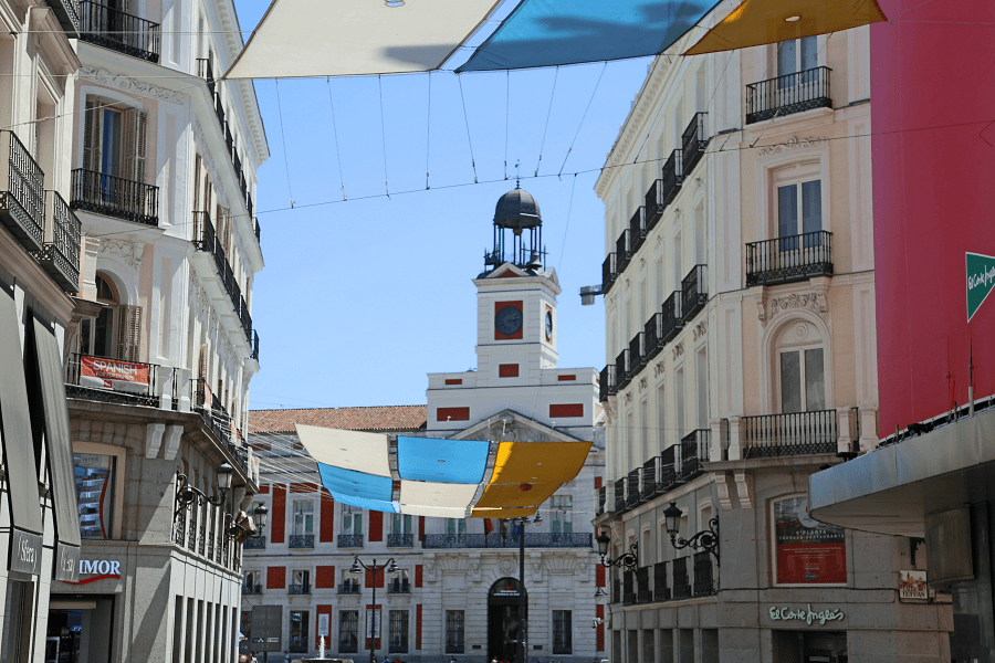
The Centro district of Madrid is the oldest section of the city. Evidence of a stable settlement dates back to Spain’s Muslim period. In the second half of the 9th century, the emir of Córdoba, Muhammad I (852–886), built a fortress on a promontory beside the river, the modern-day location of the Royal Palace of Madrid.
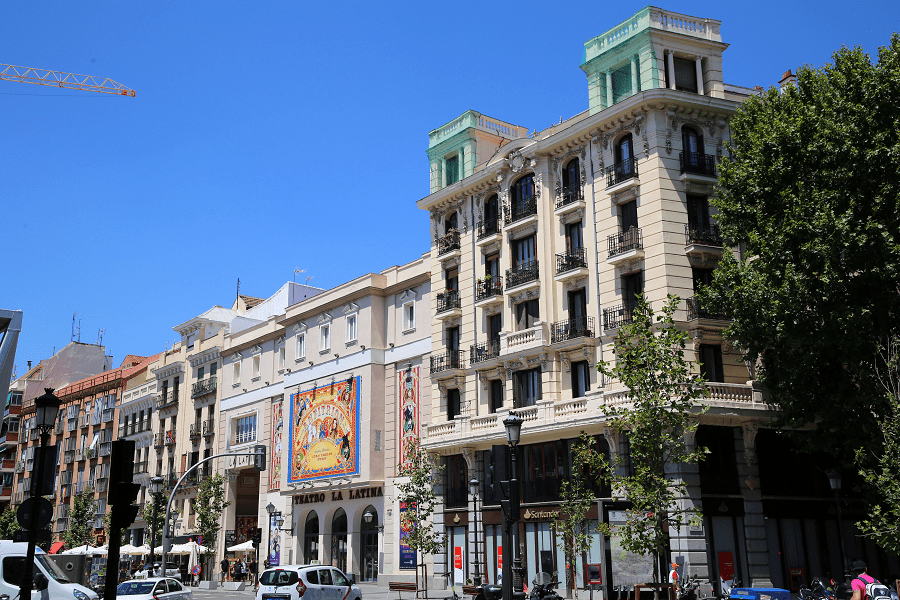
Its purpose was to watch the passes of the Sierra de Guadarrama and to initiate raids against the northern Christian countries. The remaining ruins of the fortress’s wall are still preserved. A small suburb called Magerit developed to the east of the fortress. With the exception of the wall, few structures from this period remain.
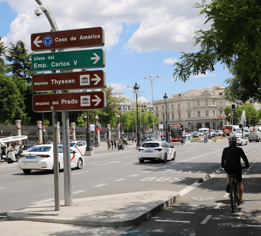
The Bourbon kings, especially Carlos III, fixated on converting Madrid into a great capital, using Paris (France) as a model. This resulted in substantial investments in the infrastructure of the city, especially sewage and public buildings.
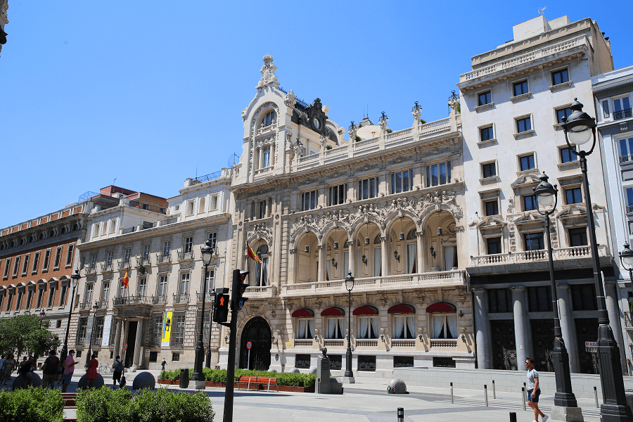
In the 19th and 20th centuries, with the arrival of democracy, the city continued to grow. The reign of Isabella II saw the construction of the Congress of Deputies building, near Puerta del Sol.
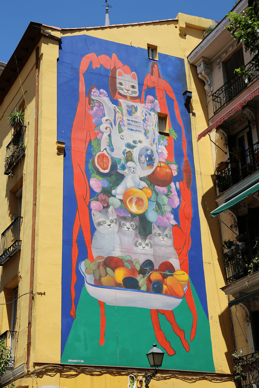
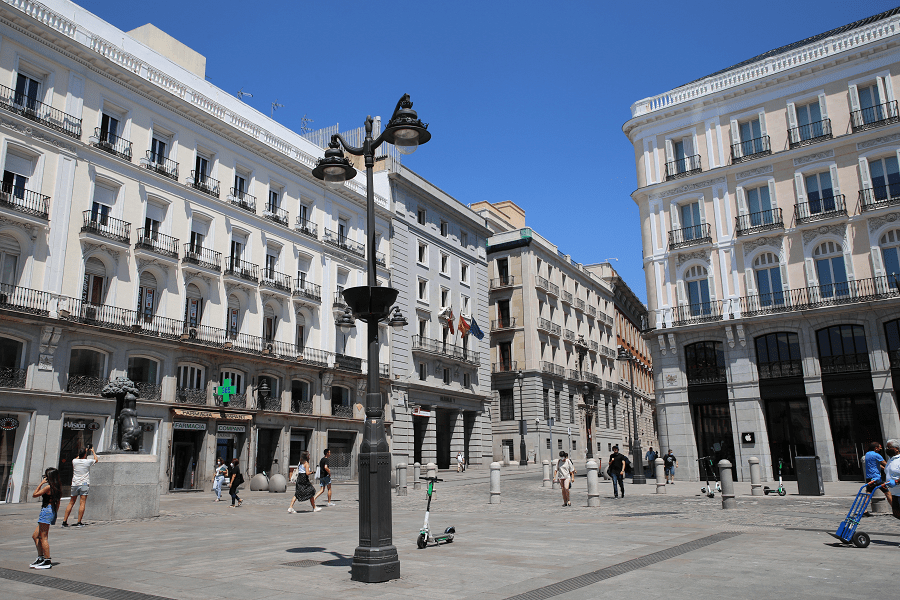
The district currently houses the central government of the Community of Madrid, in Puerta del Sol. Until 2007, the City Council of Madrid was also located here, in Plaza de la Villa.
At present it is located in Cybeles Palace, in the district of Retiro.
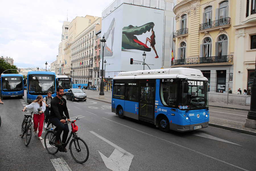
Places of interest:
- El Madrid de los Austrias
- Barrio de las Letras
- Chueca
- Conde Duque
- La Latina
- Lavapiés
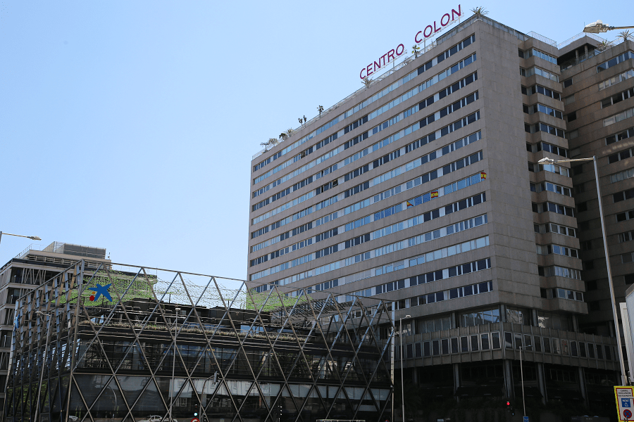
- Malasaña
- Salesas
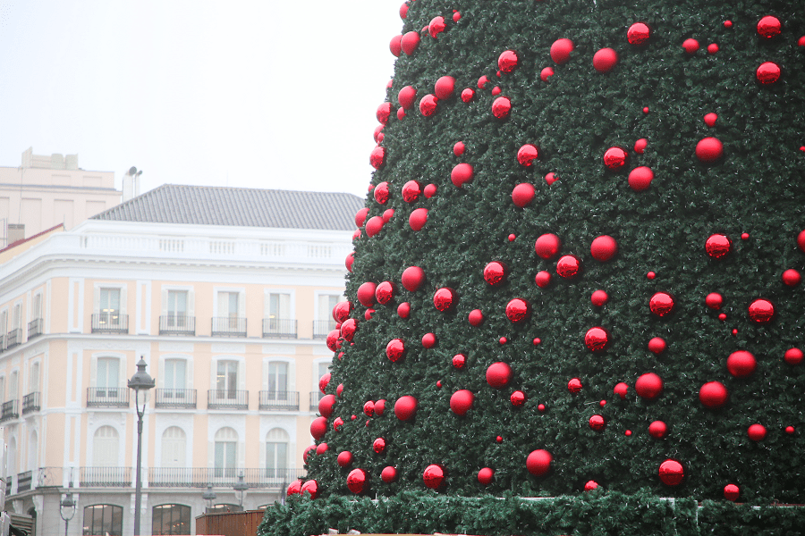
- Puerta del Sol
- Royal Palace of Madrid
- Plaza Mayor
Transport
The Embajadores station (C-5) serves the district boundaries. Sol station (C-3 and C-4) is located in the heart of the district.
- Line 1 runs through the district under the streets of Fuencarral, Montera, Carretas, Conde de Romanones, Magdalena and Atocha, stopping at the stations of Bilbao, Tribunal, Gran Vía, Sol, Tirso de Molina, Antón Martín, Estación del Arte and Atocha.
- Line 2 runs under San Bernardo, Arenal and Alcalá, stopping at San Bernardo, Noviciado, Santo Domingo, Ópera, Sol and Sevilla.
- Line 3 runs under the Princesa-Gran Vía axis to Callao, separating from it to run through the Lavapiés neighbourhood. The line stops at the stations of Moncloa, Argüelles, Ventura Rodríguez, Plaza de España, Callao, Sol, Lavapiés and Embajadores.
- Line 4 runs along the northern edge of the district, following the Alberto Aguilera-Carranza-Sagasta-Génova axis. It stops at Argüelles, San Bernardo and Bilbao.
- Line 5 runs through the district from northeast to southwest, stopping at the Chueca, Gran Vía, Callao, Ópera, La Latina, Puerta de Toledo and Acacias stations.
- Line 6 does not run under the district, but serves the Argüelles and Moncloa stations, with exits within the district.
- Line 10 serves the Justicia, Universidad and Palacio neighbourhoods with the Tribunal and Plaza de España stations.
- Ramal, the Ópera-Príncipe Pío branch runs entirely on district land.
Madrid: full guide
- Administrative structure
- Architecture
- Churches and Cathedrals
- Entertainment
- Monuments
- Museums
- Parks and gardens
- Restaurants
- Shopping and markets
- Squares
- Streets
- Transport

See here Pyrenees travel guide
See here France travel guide
See here Spain travel guide