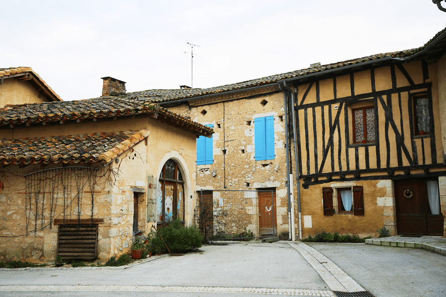
Sarrant is a commune located in the Gers department, in the Occitania region (France). Historically and culturally, the commune is in Lomagne, a former district of the province of Gascony, with the title of viscounty and nicknamed “French Tuscany.”

Exposed to an altered oceanic climate, it is drained by the Gimone, the Sarrampion and various other small rivers.

The town has a remarkable natural heritage consisting of a natural area of ecological, fauna and flora interest.

Sarrant is a rural commune that has 361 inhabitants as of 2021, after having experienced a population peak of 1,070 in 1800. It is part of the Toulouse catchment area. Its inhabitants are called Sarrantais or Sarrantaises.

The architectural heritage of the town includes a building protected as a historic monument: the town gate, registered in 1927.
Since 1999 Sarrant has been is a member of The Most Beautiful Villages of France association.

Main attractions
- The town gate, topped by its square tower, from the 14th century is a witness to the old fortifications.
- The Saint-Vincent church, built in the 14th century, was rebuilt and enlarged after the wars of religion, at the beginning of the 17th century, and a spire was added in the 19th century. The church has been listed since 2014 in the Mérimée database and in the General Inventory of the Midi-Pyrénées Region.
- The Notre-Dame-de-Pitié chapel, outside the ramparts opposite the tower gate, was built in the 17th century, near the fountain whose base dates from Roman times.
- The house of the illustration is a 275 m2 facility located in a bourgeois Gascon house. It hosts exhibitions and installations dedicated to illustration.

How to get to?
From Paris: 7 hr 20 min (679 km) via A20
From Toulouse: 1 hr 2 min (53.9 km) via D42
From Andorra: 3 hr 44 min (239 km) via N20
From Barcelona: 5 hr 6 min (452 km) via AP-7 and A61
From Madrid: 8 hr 22 min (684 km) via A-2
From Monaco: 6 hr 26 min (644 km) via A8
From Moscow: 37 hr (3,453 km) via E30/M1
From Belgrade: 19 hr 28 min (1,948 km) via E70
From Istanbul: 30 hr (2,897 km) via E70
From Bern: 8 hr 34 min (866 km) via A89

Main information
Area: 19,81 m2
Population: 361
Coordinates: 43°46′31″N 0°55′48″E
Language: French
Currency: Euro
Visa: Schengen
Time: Central European UTC +1

See here Pyrenees travel guide
See here France travel guide
See here Spain travel guide