Caylus, formerly Caylus-Bonnette, is a commune in the north-east of the Tarn-et-Garonne department, in the Occitania region in southern France, Massif Central.
Geologically, historically and culturally, it lies on the Causse de Caylus, south of the Causse de Limogne, at the crossroads of the Quercy and Rouergue regions.
Exposed to an altered oceanic climate, it is drained by the Bonnette, Seye, Laval brook, Poux Nègre brook, and various other small streams. The commune boasts a remarkable natural heritage: a Natura 2000 site (the “Causse de Gaussou and nearby sites”), a protected area (the “Espace Naturel du Four à Pain”) and six natural zones of ecological, faunistic and floristic interest.
Caylus is a rural commune with a population of 1,470 in 2021, having reached a peak of 5,424 in 1836. Its inhabitants are known as Caylusiens or Caylusiennes.
Main attractions
Religious heritage
- 15th-century “Miracle” stone cross.
- Notre-Dame-de-Livron church, early 14th- and 15th-century, remodeled in the 19th century, a pilgrimage site.
- Saint-Amans-le-Vieux church, 11th century. The building was listed as a historic monument in 1984, with a 16th-century cemetery and surrounding area, and was decommissioned in 1892 as a “center for art and culture”.
- Fortified 14th- and 17th-century Saint-Jean Baptiste church. The building was listed as a historic monument in 1910.
- Church of Saint-Barthélemy de Caudesaygues.
- Church of Sainte-Madeleine in Félines.
- Chapelle Saint-Étienne de Canabals in Saint-Pierre-Livron.
- Saint-Martin church in Caylus.
- Church of Saint-Pierre in Saint-Pierre-Livron.
- Saint-Pierre des Espiémonts church.
Civil heritage
- Saint-Pierre de Livron petrifying waterfall in Caylus (listed since 1942). Located in the Bonnette valley along the D97 road.
- Château and garenne de Mondésir.
- Dolmen at Saint-Amans.
- Reworked 13th-century keep.
- Grotte du Four.
- Gallo-Roman settlement and furnishings at the Caylus camp.
- The hamlet of Cornusson, part of the Caylus commune, boasts a beautiful château, a remarkable church and a number of small, traditional houses, one of which was immortalized by the painter and draughtsman J. Bergère de Montauban.
- Gauléjac manor house (15th century).
- Racanière dovecote.
- Portal of the former chapel of the White Penitents on Place de la Halle.
- Town gate listed as a Historic Monument in 1927.
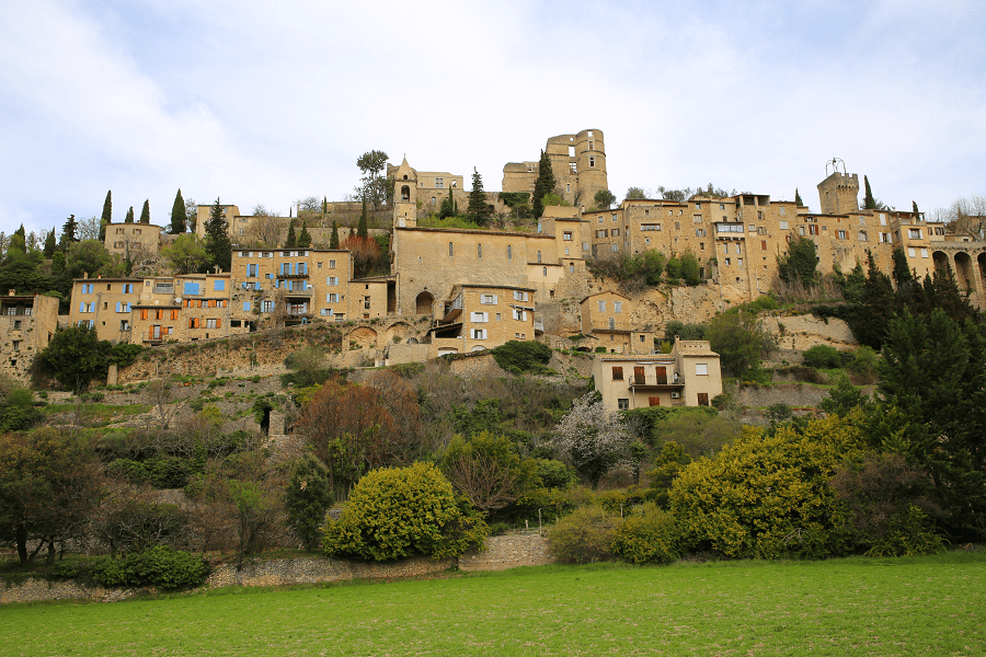
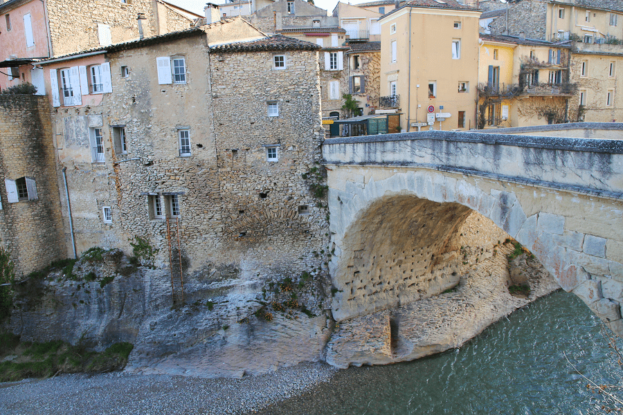
- Medieval village: old houses (Maison des Loups, etc.), market hall, Place du Marché.
- Roman road.
How to get to?
From Paris: 6 hr 50 min (618 km) via A20
From Toulouse: 1 hr 29 min (99.4 km) via A62 and A20
From Andorra: 3 hr 41 min (281 km) via N20
From Barcelona: 5 hr 39 min (494 km) via A61
From Madrid: 9 hr 10 min (899 km) via A-1 and A64
From Monaco: 6 hr 36 min (597 km) via A8
From Moscow: 34 hr (3,392 km) via E30/M1
From Belgrade: 19 hr 6 min (1,953 km) via A4
From Istanbul: 29 hr (2,902 km) via A4
From Bern: 7 hr 45 min (805 km) via A89
Main information
Area: 97 km2
Population: 1470
Coordinates: 44°14′12″N 1°46′18″E
Language: French
Currency: Euro
Visa: Schengen
Time: Central European UTC +1
See here Pyrenees travel guide
See here France travel guide
See here Spain travel guide


