The Massif Central is an essentially Hercynian mountain range that occupies the center of the southern half of mainland France. With a surface area of 85,000 km2; i.e., around 15% of metropolitan France, it is the country’s largest massif.
The massif is of medium altitude, and its relief is often rounded by erosion. Its highest peak is the volcanic Puy de Sancy (1,885 m) in the south-western Puy-de-Dôme region. It was formed 500 million years ago, although the causses and, especially, the volcanic reliefs, are more recent – the latter the result of the formation of the Alps and the Pyrenees. The Massif Central is home to most of the volcanoes in mainland France.

The Massif Central’s three major conurbations, located in its northern half, are Clermont-Ferrand, Limoges and Saint-Étienne. The latter is the Massif’s largest urban unit. Other major towns are Aurillac, Brive-la-Gaillarde, Cahors, Guéret, Mende, Millau, Montluçon, Moulins, Le Puy-en-Velay, Roanne, Rodez, Thiers, Tulle and Vichy.
Geographically, the Massif Central covers 22 departments: Allier, Ardèche, Aude, Aveyron, Cantal, Corrèze, Creuse, Gard, Hérault, Loire, Haute-Loire, Lot, Lozère, Puy-de-Dôme, Rhône, Saône-et-Loire, Tarn, Tarn-et-Garonne, Yonne, Nièvre, Côte-d’Or and Haute-Vienne.

They form parts of the regions of Auvergne-Rhône-Alpes, Bourgogne-Franche-Comté, Nouvelle-Aquitaine and Occitania.
In each of these regions, the altitude exceeds 500 m at least once. Geologically, the Massif extends beyond these boundaries into the departments of Dordogne, Charente, Vienne, Indre, Cher and a few communes of Haute-Garonne.
Eleven departments lie entirely within the Massif: Aveyron, Lozère, Cantal, Haute-Loire, Puy-de-Dôme, Allier, Loire, Creuse, Haute-Vienne, Corrèze and Lot.
In the Massif Central, industry remains mostly undeveloped, except locally (metallurgy in Saint-Étienne; tire industry in Clermont-Ferrand; headquarters of Michelin – world leader in the sector; aeronautics industry in Figeac, etc.).
The other industries present are linked to agriculture (e.g., Groupe Limagrain, the world’s third-largest seed producer and cheese-producing industries that export to the world, such as Cantal and Roquefort).

On the agricultural level, the Limagne plain is dominated by major cereal crops, but in the mountains, it is mainly livestock farming that predominates: cattle farming in the west for meat, milk and cheese (Cantal cheese) and sheep farming in the south on the limestone plateaus (Roquefort cheese).
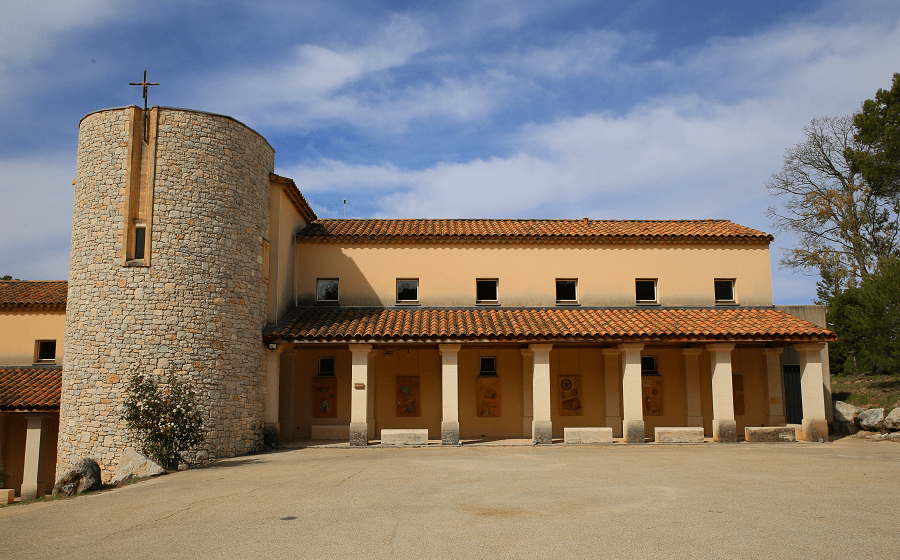
Finally, tourism is booming, taking advantage of the UNESCO heritage classification of the volcanoes of the Chaîne des Puys and the Causses and Cévennes region.
Tourism
Tourism is not balanced: some cantons are little affected (Limagne, Combrailles and Limousin plateaus, western Aveyron and northern Lozère), while rare, sometimes little-known hotspots (volcanic mountains in Auvergne, Lac de Vassivière in Limousin, haut Allier and haute Ardèche, Lot valleys and river Tarn gorges, Cévennes and Grands Causses) are not visited.
There are also areas for leisure activities and second homes, particularly in the east (Lyonnais, Forez, Velay and Vivarais), benefiting from the proximity of Lyon.
Finally, the region’s spa traditions are indisputable: Auvergne ranks fifth in France, although its resorts (Vichy, Le Mont-Dore, La Bourboule, Châtel-Guyon, Royat) are adapting very unevenly to the new medical and leisure environment.
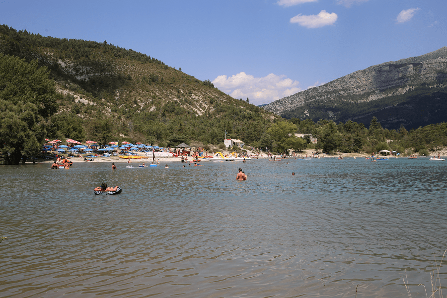
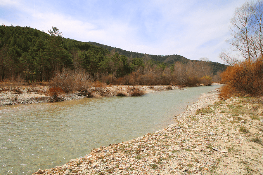
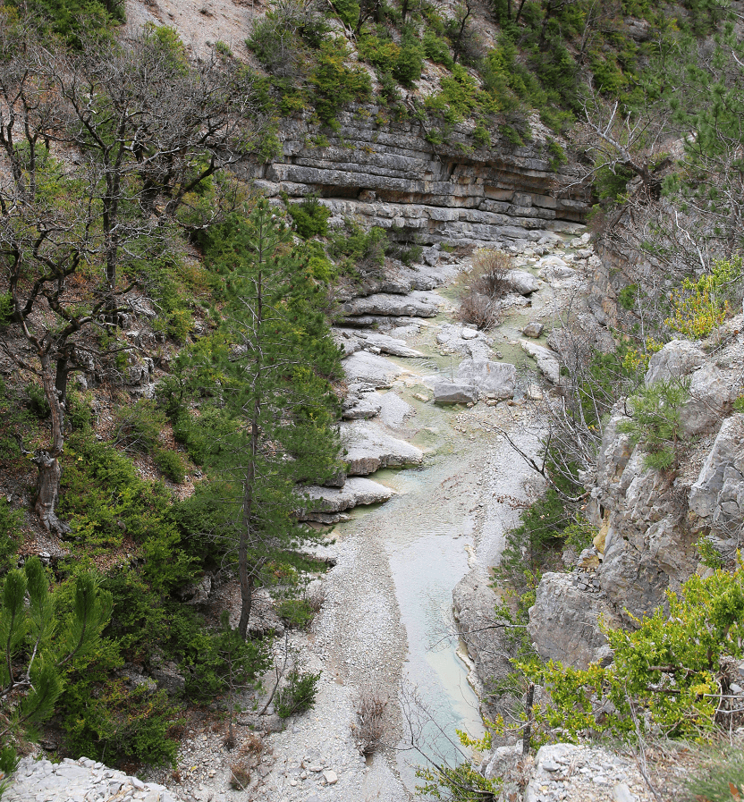
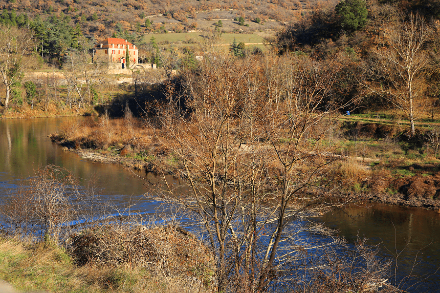
Most of the rivers of southern France rise in the Massif Central; these include the Lot, the Tarn, the Aveyron, the Dordogne, the Allier, the Loire and the Ardèche, whose valleys are popular for water sports, including river swimming, kayaking and fishing. The valleys of the Lot, the Tarn and the Allier are particularly attractive, and the Tarn Gorge, near Millau, is one of the most impressive canyons in Europe.
Main attractions:
Beaujolais – UNESCO Global Geopark
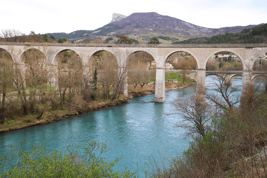
The entire economy of the Massif Central has benefited from the opening of roads; in particular, the construction of the A75 motorway (on which is located the famous Millau Viaduct).

While the railroads opened up the region in the 19th century, with the construction of over a thousand kilometers of track, roads eventually took over.
From the inter-war years onward, buses provided great services in the countryside and around towns. Today, these public services have largely disappeared, and it was a long time before the small, winding roads were improved, a coherent network emerged and the first freeways were built: from Saint-Étienne to Lyon, as early as the 1970s, but, above all, thanks to the “Massif Central road plan” (1975) between Clermont-Ferrand and Saint-Étienne in the early 1980s, from Clermont-Ferrand to Bourges and Paris around 1989, and from Clermont to Béziers or Périgueux more recently.
As a result, two major motorway routes now cross the Massif Central: the A75 Paris-Clermont-Ferrand-Béziers (which, incidentally, largely follows the route of the declining Causses line) facilitates trade between Paris and the Mediterranean Sea, while the A89 Bordeaux-Clermont-Ferrand-Lyon is the missing link in the east-west crossing of Europe. Other freeways, such as the A20 and A72, help to open up the region.
See here Pyrenees travel guide
See here France travel guide
See here Spain travel guide