


Moncloa-Aravaca is the 9th of the 21 districts that make up Madrid, Community of Madrid, Spain.
Administratively it is divided into the neighborhoods of Casa de Campo (91), Argüelles (92), Ciudad Universitaria (93), Valdezarza (94), Valdemarín (95), El Plantío (96) and Aravaca (97).
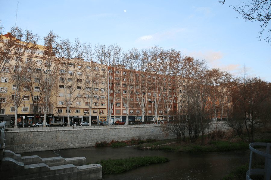
Moncloa-Aravaca appears for the first time as a term, formed by the meanings of Moncloa and Aravaca —joined by a hyphen to name one of the territories into which the municipality of Madrid was administratively divided— in the context of the so-called “decentralization process” that the Madrid City Council launched in the eighties coinciding with the municipal mandates of the mayors Enrique Tierno Galván and Juan Barranco Gallardo.
Since then, this district of Madrid has existed as such, although its residents are less aware of it than other more homogeneous districts of Madrid, such as Centro, Salamanca or Chamberí.

The district is delimited by:
- The limits with the municipal terms of Pozuelo de Alarcón and Majadahonda to the west.
- The M-40 and M-605 highways, which separate it from the neighbouring district of Fuencarral-El Pardo.
- The streets Guecho, Elgóibar, Deusto, Príncipe de Viana and the Casaquemada road in the La Florida neighbourhood, which also separate it from Fuencarral-El Pardo.
- The Avenida de la Ilustración, which separates it from Fuencarral-El Pardo.
- The Avenida de Fuentelarreina, which separates it from the homonymous neighbourhood of Fuencarral-El Pardo.

- The Calle del Valle de Mena, which separates it from the neighbourhoods of Peñagrande and El Pilar (Fuencarral-El Pardo).
- The Camino del Chorrillo, Calle Ofelia Nieto and Avenida de Pablo Iglesias, which separate it from the district of Tetuán.
- The avenues of Reina Victoria, Moncloa and Juan XXIII, which separate it from the district of Chamberí.
- The streets of Isaac Peral, Arcipreste de Hita and Meléndez Valdés, which separate it from the district of Chamberí.
- The Calle Princesa, which separates it from the districts of Chamberí and Centro.
- The Plaza de España and the Cuesta de San Vicente, which separate it from the district of Centro.
- The avenue of Portugal, the Camino Viejo de Campamento, the Paseo de Extremadura and the Tapia de la Casa de Campo, which separate it from the district of Latina.

Transport
The following stations are located within this district, all belonging to the C-7 and C-10 lines of the network:
- Príncipe Pio (Casa de Campo)
- Aravaca (Aravaca)
- El Barrial-Centro Comercial Pozuelo (El Plantío)
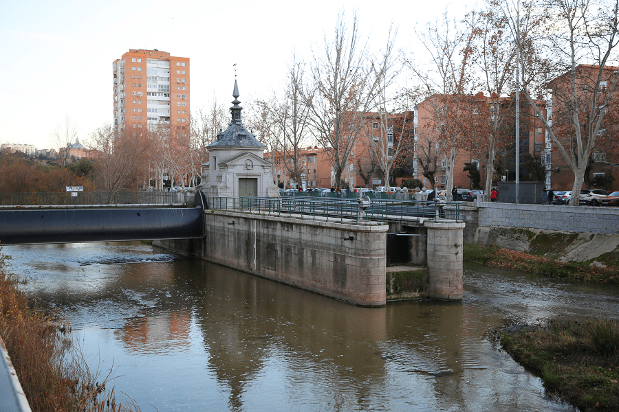
There are several lines that cross this district:
- 3d line: serves the Argüelles neighborhood with the Moncloa, Argüelles, Ventura Rodríguez and Plaza de España stations.
- 4th line: serves the Argüelles neighborhood with the station of the same name.
- 5th line: serves part of the Casa de Campo neighborhood with the station of the same name.
- 6th line: serves the Ciudad Universitaria, Argüelles and Casa de Campo neighborhoods with the Guzmán el Bueno, Vicente Aleixandre, Ciudad Universitaria, Moncloa, Argüelles and Príncipe Pío stations.
- 7th line: serves the Ciudad Universitaria and Valdezarza neighbourhoods with the Guzmán el Bueno, Francos Rodríguez, Valdezarza and Antonio Machado stations.
- 10th line: serves the Argüelles and Casa de Campo neighbourhoods with the Plaza de España, Príncipe Pío, Lago, Batán and Casa de Campo stations.

Madrid: full guide
- Administrative structure
- Architecture
- Churches and Cathedrals
- Entertainment
- Monuments
- Museums
- Parks and gardens
- Restaurants
- Shopping and markets
- Squares
- Streets
- Transport
See here Pyrenees travel guide
See here France travel guide
See here Spain travel guide




