

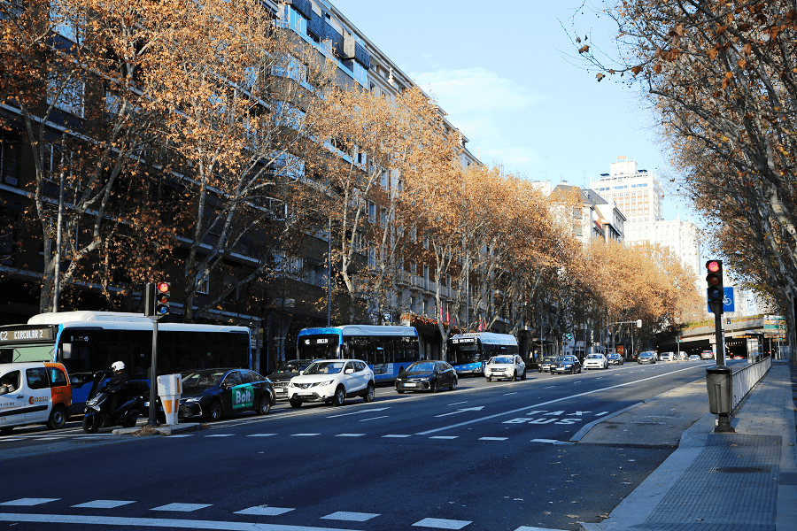
The Cuesta de San Vicente, also known as Paseo de San Vicente, is a street in Madrid (Community of Madrid, Spain) that runs from Plaza de España to Paseo de la Florida (Centro district). The name “cuesta” originates from the street’s angled layout in this area.
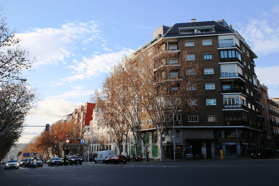
In the 17th century it was called Camino del Río (in reference to the Manzanares river), and in the 18th century it appeared as the “road that goes up to the Palacio Nuevo”. The name of the street comes from the Puerta de San Vicente, formerly located on this road to the river.
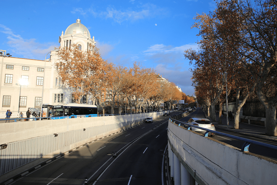
The first plan for this street was the road to the river designed by the architect Alberto de la Madre de Dios. The road is located on the road to the Montaña del Príncipe Pío and Campo del Moro. The area of the street gained importance when the Estación del Norte (North Station), currently known as Príncipe Pío Station, was built (1861, 1882).
Madrid: full guide
- Administrative structure
- Architecture
- Churches and Cathedrals
- Entertainment
- Monuments
- Museums
- Parks and gardens
- Restaurants
- Shopping and markets
- Squares
- Streets
- Transport
See also France travel guide
See also Spain travel guide
See also Pyrenees travel guide
See also Andorra travel guide




