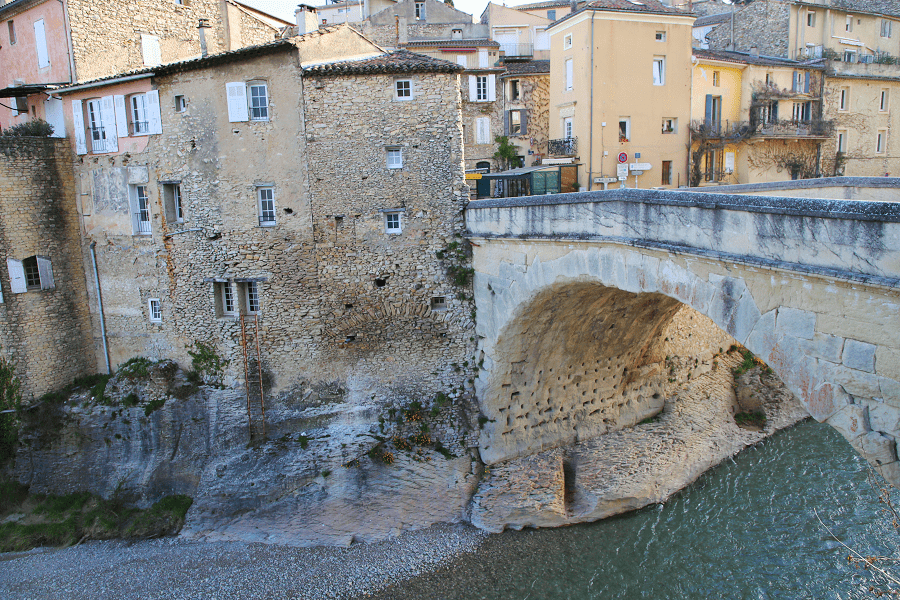
Lavardens is a commune located in the Gers department, in the Occitania region (France). Historically and culturally, the commune is in the Pays d’Auch (Gascony), a cereal and wine-producing territory that, in 2003, was also constituted as a country in the sense of territorial planning.
Exposed to an altered oceanic climate, it is drained by the Guzerde and the Coulègne.

Lavardens is a rural commune which has 365 inhabitants in 2021, after having experienced a population peak of 1,408 inhabitants in 1831. It is part of the Auch catchment area. Its inhabitants are called Lavardenais or Lavardenaises.

It is a member of the The Most Beautiful Villages of France association.

Main attractions
The walls
Lavardens was surrounded by ramparts. To this day, only five quadrangular towers remain visible. The best preserved — called “Bayonne” — measures 15 m high. It was built an average structure and pierced with small archaic arches.

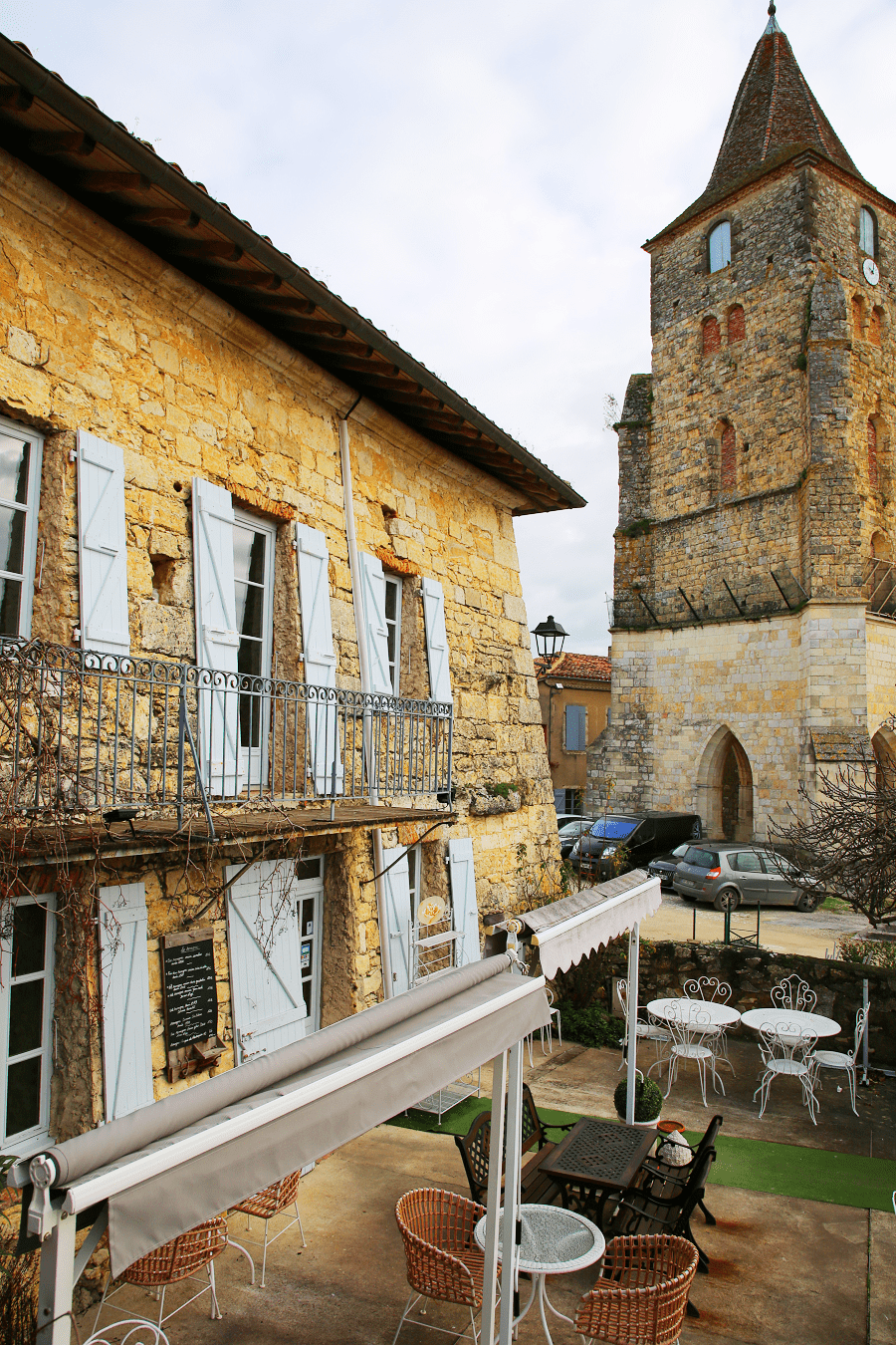
Saint-Michel Church
The church tower has been classified as a historic monument since 1960.

The church tower would have been the keep of the original fortress; however, its distance from the castle contradicts this hypothesis.
The church was raised in the 15th century. The exterior is characterized by a spiral staircase, angular buttresses of decreasing height and a beautiful stained-glass window from the 15th century.

The village of Lavardens is dominated by the imposing mass of the castle. Pierced with double stone windows, it was boldly launched towards the west, where the facade is confined by square turrets established on corner horns, overhanging the path.

How to get to?
From Paris: 8 hr 6 min (776 km) via A10
From Toulouse: 1 hr 48 min (98.8 km) via N124
From Andorra: 3 hr 59 min (253 km) via D919
From Barcelona: 5 hr 33 min (396 km) via C-16
From Madrid: 8 hr 18 min (676 km) via A-2
From Monaco: 6 hr 47 min (680 km) via A8
From Moscow: 37 hr (3,508 km) via E30/M1
From Belgrade: 19 hr 49 min (1,983 km) via E70
From Istanbul: 30 hr (2,932 km) via E70
From Bern: 9 hr 7 min (938 km) via A9

Main information
Area: 30.55 km2
Population: 365
Coordinates: 43°45′42″N 0°30′52″E
Language: French
Currency: Euro
Visa: Schengen
Time: Central European UTC +1

See here Pyrenees travel guide
See here France travel guide
See here Spain travel guide