Lautrec is a commune in the Tarn department of the Occitania region (France). Historically and culturally, the commune lies in the Castrais region, a predominantly agricultural area between the right bank of the Agout to the south and its tributary, the Dadou, to the north.
Exposed to an altered oceanic climate, it is drained by the Bagas, the Lézert, the Poulobre, the Ganoubre, the Merdalou, the Saborgues, the Vidalès and various other small streams. The commune boasts a remarkable natural heritage, with five natural zones of ecological, faunistic and floristic interest.
Lautrec is a rural commune with a population of 1,694 as of 2021, having reached a peak of 4,032 in 1806. It is part of the Castres catchment area.
Lautrec is listed among The Most Beautiful Villages of France as well as a Remarkable Site for Taste thanks to its renowned pink garlic.
Main attractions
Religious architecture
- Saint-Rémy de Lautrec church. The building was listed as a historic monument in 1999.
- Notre-Dame church in Provillergues.
- Église Saint-Clément in Saint-Clément.
- Église Saint-Étienne de Grayssac.
- Église Saint-Martin-de-Brametourte in La Bertrandié.
- Église Saint-Martin-de-Dauzats.
- Église Saint-Pierre-d’Expertens, Lautrec.
Civil architecture
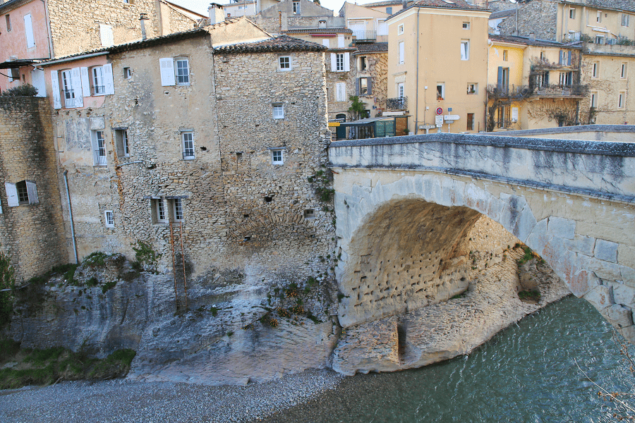
- The medieval village.
- The Caussade gate (13th century).
- 16th-century residences.
- The central square and the 17th-century covered market.
- Château de Brametourte (11th century).
- Château de Malvignol (16th century).
- Château des Ormes (19th century).
- 1688 windmill (restored in 1990).
How to get to?
From Paris: 8 hr 34 min (693 km) via A20
From Toulouse: 1 hr 9 min (83.4 km) via A68
From Andorra: 3 hr 19 min (223 km) via N20
From Barcelona: 4 hr 21 min (379 km) via AP-7
From Madrid: 9 hr 12 min (797 km) via A-2
From Monaco: 5 hr 51 min (531 km) via A8
From Moscow: 35 hr (3,447 km) via E30/M1
From Belgrade: 18 hr 3 min (1,834 km) via E70
From Istanbul: 28 hr (2,783 km) via E70
From Bern: 8 hr 5 min (789 km) via A9
Main information
Area: 54 km2
Population: 1694
Coordinates: 43°42′25″N 2°08′23″E
Language: French
Currency: Euro
Visa: Schengen
Time: Central European UTC +1
See here Pyrenees travel guide
See here France travel guide
See here Spain travel guide


