Arreau is a commune located in the south-east of the Hautes-Pyrénées department, in the Occitania region (France, Pyrenees). Historically and culturally, the commune is in the Pays d’Aure, made up of the Neste valley (downstream of Sarrancolin), the Aure valley (upstream of Sarrancolin) and the Louron valley.
Exposed to a mountain climate, it is drained by the Adour, the Neste, the Neste du Louron, the Lastie stream, the Artigou stream and various other small streams. The commune has a remarkable natural heritage: a Natura 2000 site (Garonne, Ariège, Hers, Salat, Pique and Neste), a protected area (the Adour and tributaries) and ten natural areas of ecological interest.
Arreau is a rural commune that had 752 inhabitants in 2021, after having experienced a population peak of 1,593 inhabitants in 1841.
Main attractions
Civil buildings:
- The Château des Nestes (or Château Camou), 17th and 19th centuries, having hosted a commandery, in 2010 houses the tourist office and the Cagots museum. It has been listed as a historic monument since 1981.
- The Château de Ségure, 14th to 18th century;
- The Maison des Lys, a Gothic house from the 16th and 17th centuries, owes its name to the multiple wooden fleur-de-lis adorning its facade and has been partially classified as a historic monument since 1912;
- The house of Saint Exupère, 16th century, partially registered since 1928;
- Recent town hall;
- The houses Artigue, Cazala, Ducuing-Forgue, Féraud, Laguens, Latour, Mouré, Pic Molié and many other houses and farms from the 16th to the 20th century;
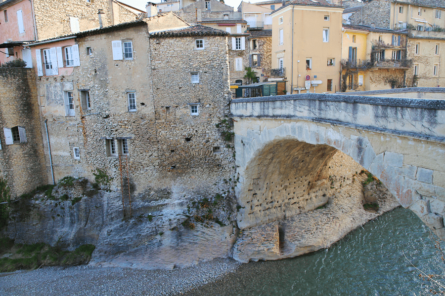
- Bridge of the D 918 road, dating from 1861;
- The Arreau-Cadéac station, dating from 1897.
Religious buildings:
- Saint-Exupère church (or chapel), 16th century, listed since 1952;
- Notre-Dame Church, 16th and 18th centuries, listed since 1928, richly decorated. It houses a pietà dating from the 16th century and a monumental altarpiece from the 17th century;
- Chapel of Saint-Michel de Garian, 12th and 19th centuries;
- Notre-Dame-du-Bon-Rencontre Chapel, pilgrims’ chapel rebuilt in the 19th century;
- Saint-Laurent Chapel, ruined before the Revolution, materialized in 1866 by a cast iron cross;
- Saint-Jacques Chapel, which disappeared during the Revolution.
How to get to?
From Paris: 7 hr 48 min (817 km) via A20
From Toulouse: 1 hr 44 min (144 km) via A64
From Andorra: 3 hr 49 min (209 km) via Eix Pirinenc/N-260
From Madrid: 6 hr 31 min (561 km) via A-2
From Monaco: 7 hr 9 min (720 km) via A8
From Moscow: 39 hr (3,593 km) via E30/M1
From Belgrade: 20 hr 24 min (2,024 km) via E70
From Istanbul: 31 hr (2,973 km) via E70
From Bern: 9 hr 41 min (978 km) via A9
Main information
Area: 11,07 km2
Population: 752
Coordinates: 42°54′22″N 0°21′35″E
Language: French
Currency: Euro
Visa: Schengen
Time: Central European UTC +1
See here Pyrenees travel guide
See here France travel guide
See here Spain travel guide


