Torroella de Montgrí is a town and municipality in Spain, occupies the northeastern part of the Baix Empordà region, Catalonia. The town of Torroella is located on the Empordà plain, at the foot of the Montgrí massif on the north bank of the River Ter. It is part of the Montgrí, Medes Islands and Baix Ter Natural Park.
The main centre of the town is undoubtedly Torroella. It is nestled at the foot of Montgrí, it stretches in continuous urbanization that reaches the centre of Ullà, to the west, through the C-31 road. The other important centre, due to the number of inhabitants, is Estartit, Costa Brava, about 5 km east of the town connected by the Gi-641 local road.
Apart from these main centres, in the municipality, some residential areas are also located on both sides of this road: Torre Moratxa, Dunes, Salats and Torre Gran. Also in the north of the district, there are the inner residential areas of Bolleria (near Bellcaire d’Empordà) and Sobrestany (one kilometre east of Bolleria), in the northeastern part of the municipality, there is Cala Montgó, closer to the l’Escala municipality than that of Torroella.
Bordering the coast and practically adjacent to the Gola del Ter, there are the urbanizations of the Griells (on the north side and bordering the Estartit) and Mas Pinell, bordering to the south-east with Pals.
Leaving aside the urbanized centres and attending the orography, there are two key elements that dominate and partly section the territory of Torroella de Montgrí: Montgrí Massif (northern half) and the plain of Baix Ter (southern half).
The first one is shared with other municipalities, but most of the massif is assigned to the municipality of Torroella. The second is dominated by several farm fields, with scattered farmhouses and huts. Recently (2010), the Montgrí, Medes Islands and Baix Ter Natural Park were created to protect the natural value of various habitats in this area.
As for the natural spaces, there is the Montgrí massif, the highest peaks of which, aligned mostly in the east-west direction, are: Roca Maura (225m), Torre Moratxa (220m), Montplà (310 m), Montgrí (303 m) and Muntanya d’Ullà (308 m), the latter divided equally between the municipalities of Ullà and Torroella. Between the Torre Moratxa and the Montplà, there is the Dunes sector, which stretches from north to south the massif, with continental sand dunes formed between the late 19th century and the first half of the 20th century.
About one kilometre away from the coast there is the group of Medes Islands, a geological continuation of the massif, that is submerged in the Mediterranean. The coast of the massif consists of coves, small gulfs and capes with more or less steep cliffs. The plain thus became the area of expansion of the settlements, where progressively, over the centuries, the River Ter has been driven southwards into its current mouth and coastal lagoons were dried to take advantage of the land for cultivation and reducing the incidence of malaria.

It must be said that there were at least two more outlets of the Ter river, as well as the current one. One next to Estartit of which there is still a remnant called the Ter Vell and the other to the north of the massif, which was probably the source of water that filled the lake of Bellcaire.
History of Torroella de Montgrí: the remains of the settlement in the municipality of Torroella go back to the Paleolithic with a settlement of hunter-gatherers (in Cau del Duc) and the Neolithic based at least on the cultivation of cereals (Cau de les Dents, Cau dels Ossos, Cau del Tossal Gros, Cau d’en Calvet, Fonollera, Puig Mascaró). Also, remains of the Roman era were found in places like Cave de la Gruta, Torre Gran, Santa Maria del Mar, Santa Maria del Palau and Xarlan vineyard. See here more history
Heritage, tourism and main sights
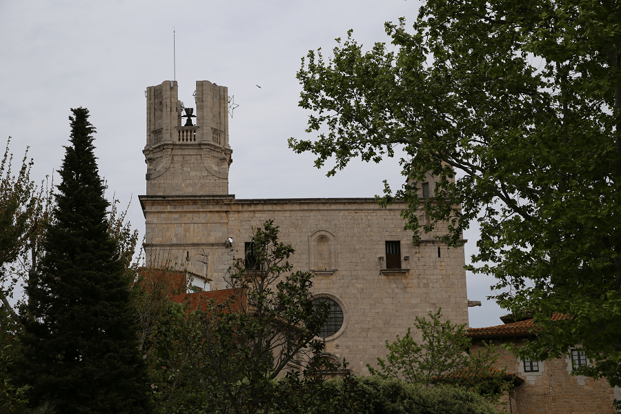
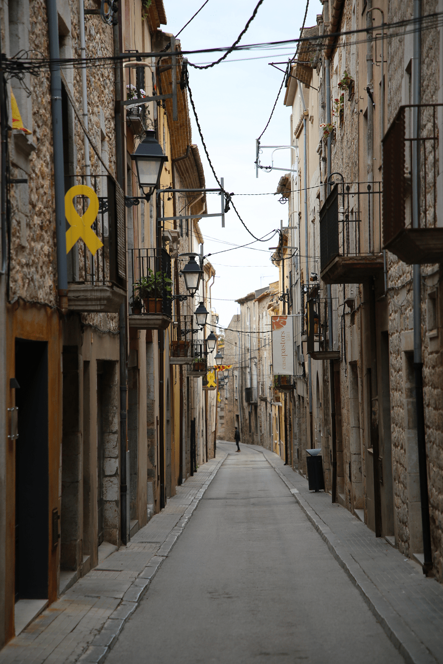
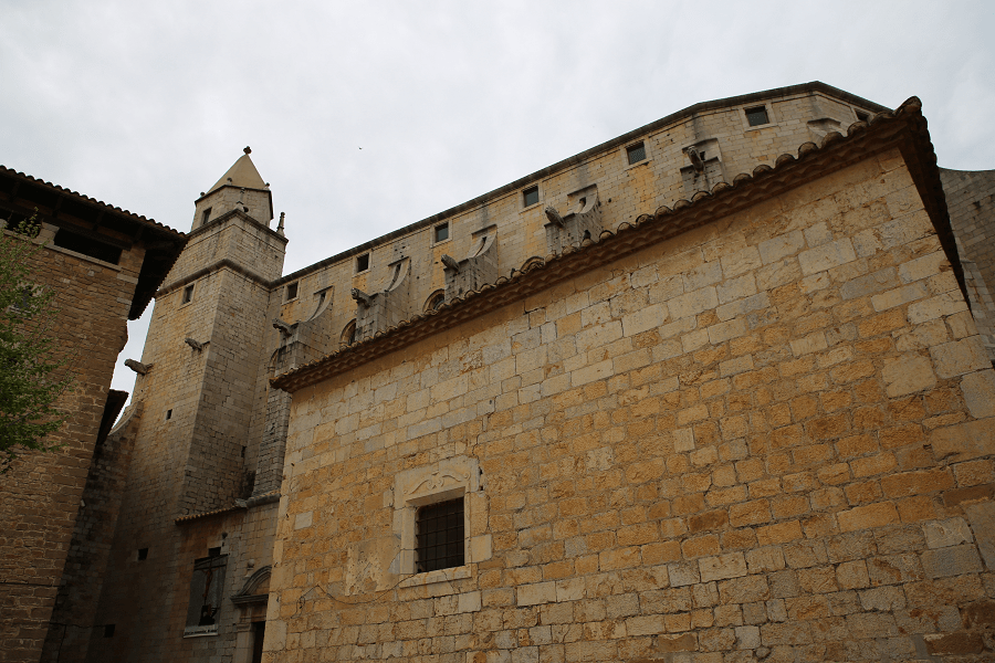
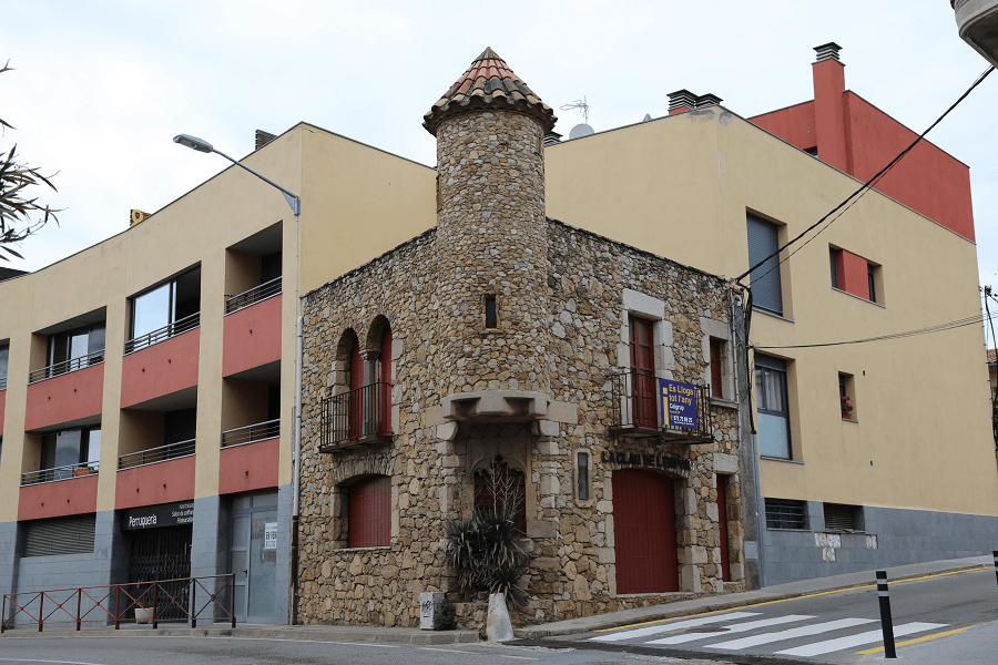
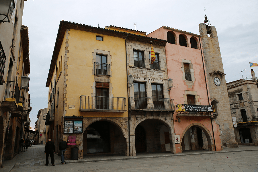
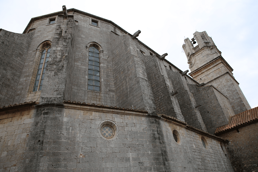
In Torroella there are several elements of historical, tourism or cultural interest. The Castle of Montgrí, at the summit of Montgrí, stands out for its omnipresence. Right in the middle of the old town, there is the medieval Mirador palace, refurbished by Rafael Masó at the beginning of the 20th century, currently converted into a hotel and restaurant. Almost attached to it is the parish church of Sant Genís, a remarkable gothic building. In this sector, we still find remains of the walls, including two towers, the Tower of Bruixes and the Portal of Santa Caterina.
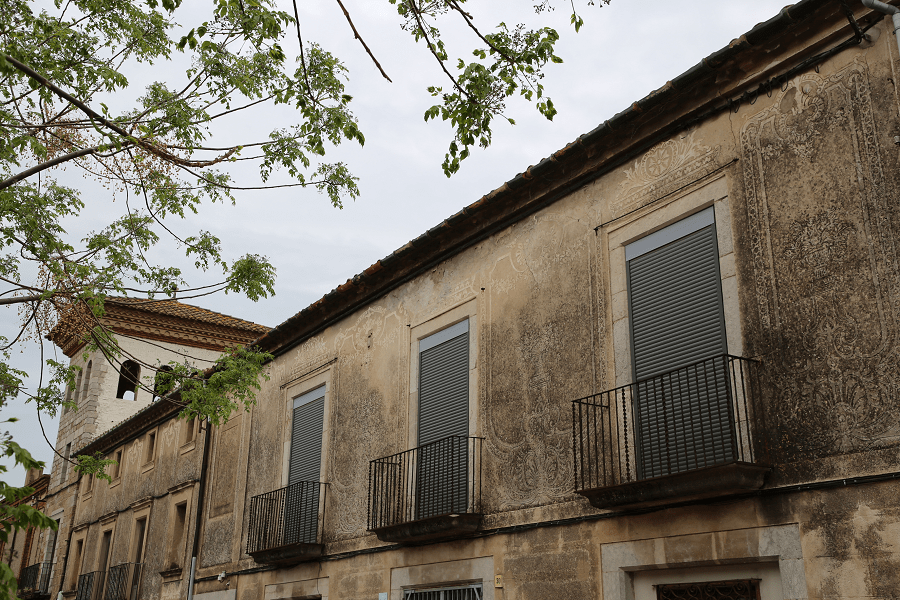
The center of Torroella also has palaces that house cultural institutions: The headquarter of Torroella Foundation of Vila Casas, in the Palau Solterra; the Mascort Foundation, in the Casa Galibern, from the 19th century; or the Museu de la Mediterrània recently located in Can Quintana, although it was previously in Casa Pastors. The Chapel of Sant Antoni, next to the Town Hall, was converted into a municipal exhibition hall.
Festivities and traditions
The weekly market fills squares and streets every Monday. The Festa Major of the saint patron Sant Genís is scheduled on August 25th. The small Festa Major is on the day of Santa Llúcia. The Sant Andreu Fair is celebrated on the last weekend in November, it is one of the oldest fairs in Catalonia with more than 600 years of history.
Cuisine and restaurants
There are more than 10 restaurants of a fairly high quality in Torroella de Montgrí. Prices are cheaper than in Barcelona and Girona. Mostly located within the borders of the Old Town.
Shopping
Shopping in Torroella de Montgrí is not a priority on the tourist program. Only on weekends city bazaars and fairs, which traditionally take place on weekends or on some public holidays in the main square, can be of tourist interest. At the fairs, in particular, you can come across exclusive products grown in the region. Among them are some well-known wine and cheese brands in Spain.
Shortest distances

From Girona 41 min (39.3 km) via N-II
From Lleida 2 h 50 min (261 km) via C-25
From Tarragona 2 h 24 min (225 km) via AP-7
From Barcelona 1 hr 42 min (141 km) via AP-7
From Madrid 7 hr 31 min (724 km) via A-2
From Andorra 3 h 14 min (246 km) via C-25
Main information
Area:65.9 sq. km
Coordinates: 42°2′38″N 3°7′43″E
Population: 11540
Languages: Spanish, Catalan
Currency: euro
Visa: Schengen
Time: Central European UTC +1