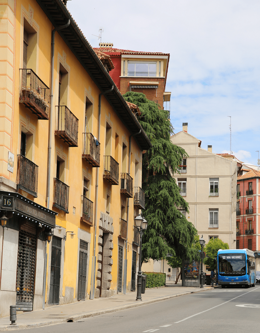

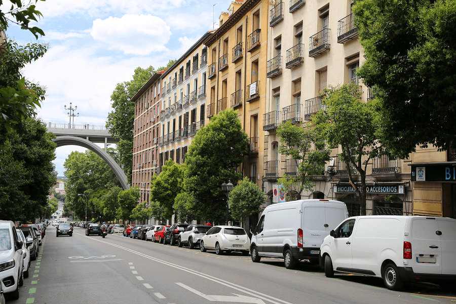
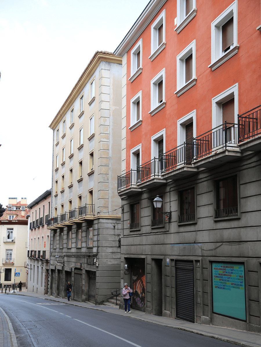
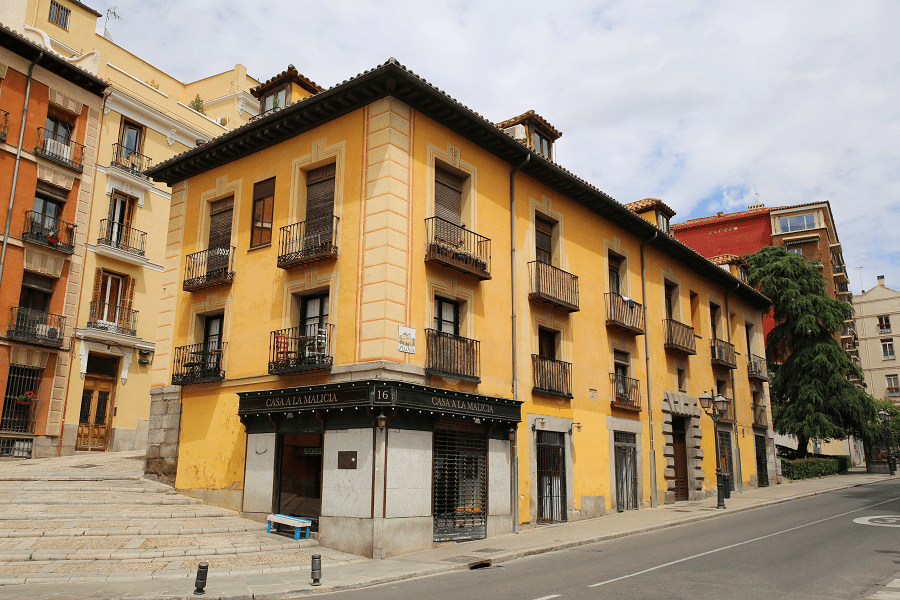
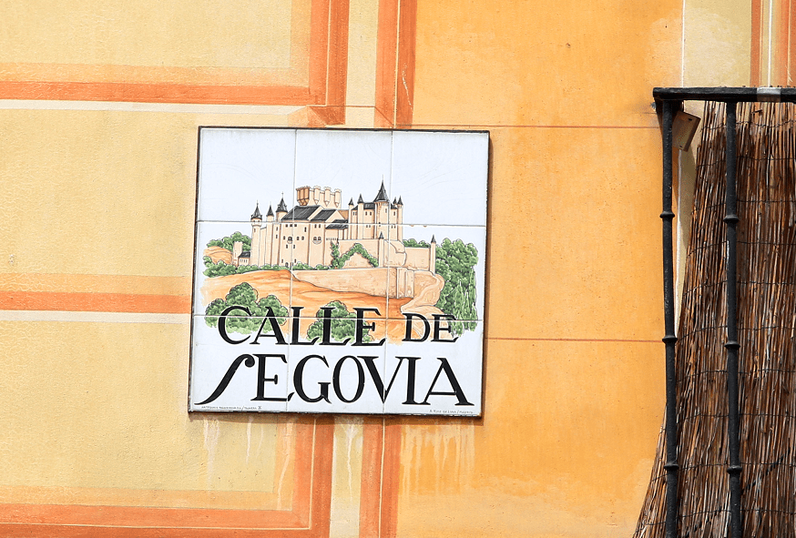
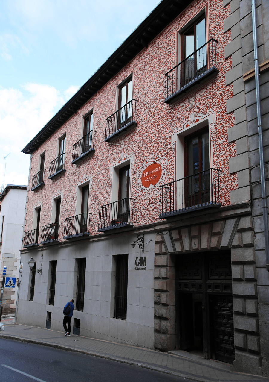
Segovia Street is an urban street in the historic centre of Madrid, Community of Madrid, Spain, in the Royal Palace neighbourhood, which runs in a straight line east-west from Puerta Cerrada Square to Segovia Bridge, Centro district.
It was one of the main access routes to the city, and so it preserves buildings and environments along its route that tell various chapters in the history of the capital of Spain and its inhabitants.
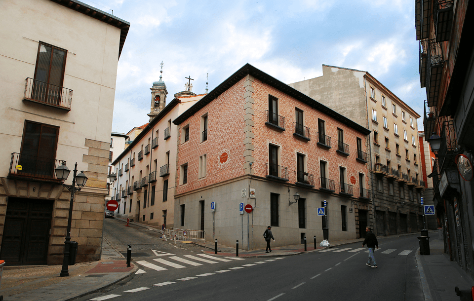
The street is located on a steep ravine, through which the San Pedro stream flowed (other names: Fuente de San Pedro stream, “Matrice” stream or “del Pozacho” stream). This ravine was, in the Middle Ages, one of the most important entry routes to the city, as it connected the town centre with the old road to Segovia, which began once the Manzanares River had been crossed.
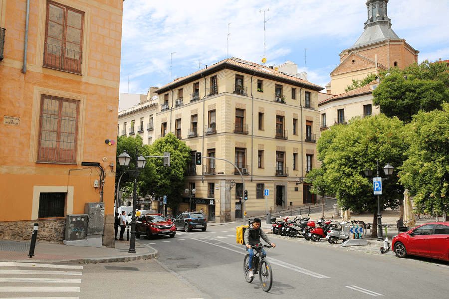
With the establishment of the Court in Madrid in 1561, King Philip II of Spain promoted the urban planning of the area, to facilitate access to the town and, more specifically, to the now-defunct Real Alcázar, the royal residence.
The project contemplated the construction of a bridge over the river and a large avenue that, starting from this point, would reach the town centre, at the height of the Puerta Cerrada, one of the entrances to the old medieval wall.
Of this design, only the Segovia Bridge (1582-1584) could be carried out, a nine-span structure attributed to the architect Juan de Herrera, which replaced the old Segoviana Bridge, built in the first half of the 14th century by order of Alfonso XI of Castile.
Madrid: full guide
- Administrative structure
- Architecture
- Churches and Cathedrals
- Entertainment
- Museums
- Parks and gardens
- Restaurants
- Shopping and markets
- Squares
- Streets
- Transport
See here Pyrenees travel guide
See here France travel guide
See here Spain travel guide