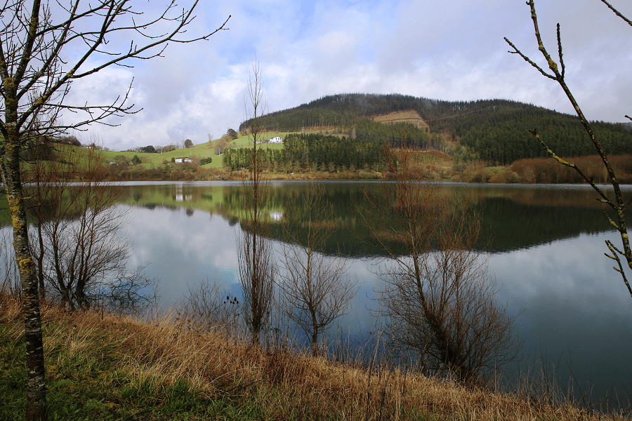
The Urkulu Reservoir is located in the historical territory of Gipuzkoa in the Basque Country in Spain.
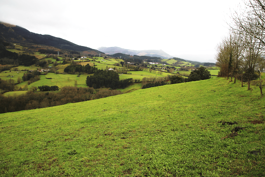
The Urkulu reservoir is located in the central-western area of the municipality of Aretxabaleta, in the upper basin of the stream of the same name, whose source is located in the Sierra de Aitzgorri, in the foothills of the Kurutzeberri peaks (1,117 m). and Elorretako-Aitza (1,125 m) to the west, Gorordo (692 m) and Orkatzategi (864 m) to the east, Saiturri (1,172 m), Aumategigaña (1,190 m) and Maruatx (1,019 m) and Andarto (1,064 m) to the south, and Andarto-txiki (848 m) to the SE.
Work on this reservoir began in 1975 and was completed in 1979. The dam is 49 m high and 160 m wide. The capacity is 16.30 Hm3 and the basin that supplies water to the reservoir covers an area of 19.26 Km2. In addition, and through transfer, water from the Bolívar basin as well as from the Aranzazu river basin (Artixa) is supplied to it.
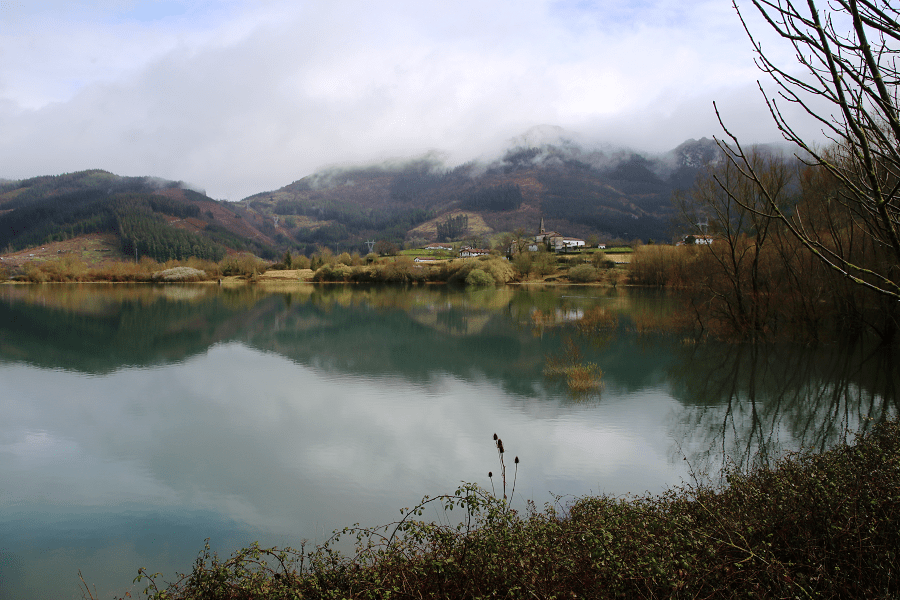
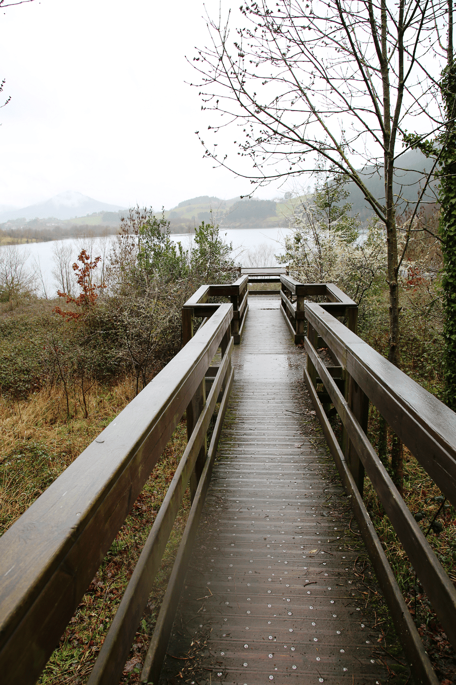
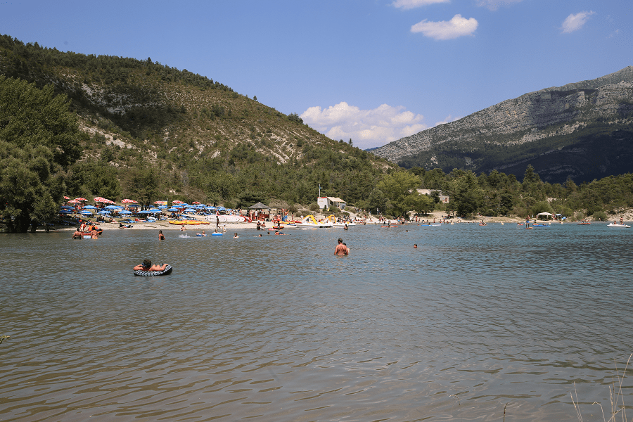
It is one of the main attractions in the area regarding nature. A perfect place to relax as it offers visitors a really appropriate setting to relax and enjoy nature.
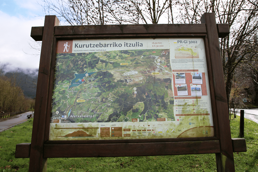
Practising sports in the Urkulu Reservoir is ideal. A 6.5-km bike road surrounds the reservoir and areas to do gymnastics have been fitted out, with explanatory boards explaining how to carry out several exercises. Canoe rental is available. Many hiking routes are also available.
The area welcomes many tourists in the summertime, mainly at the weekend. The reservoir turns into a refuge for varied bird species.
On the other hand, the reservoir supplies drinking water to some adjoining towns.

How to get to?
By car:
From San Sebastian 1 hr 8 min (84.2 km) via AP-8
From Vitoria 50 min (53.0 km) via AP-1
From Bilbao 1 hr 2 min (73.8 km) via N-636
From Madrid 4 hr 17 min (409 km) via A-1 and AP-1