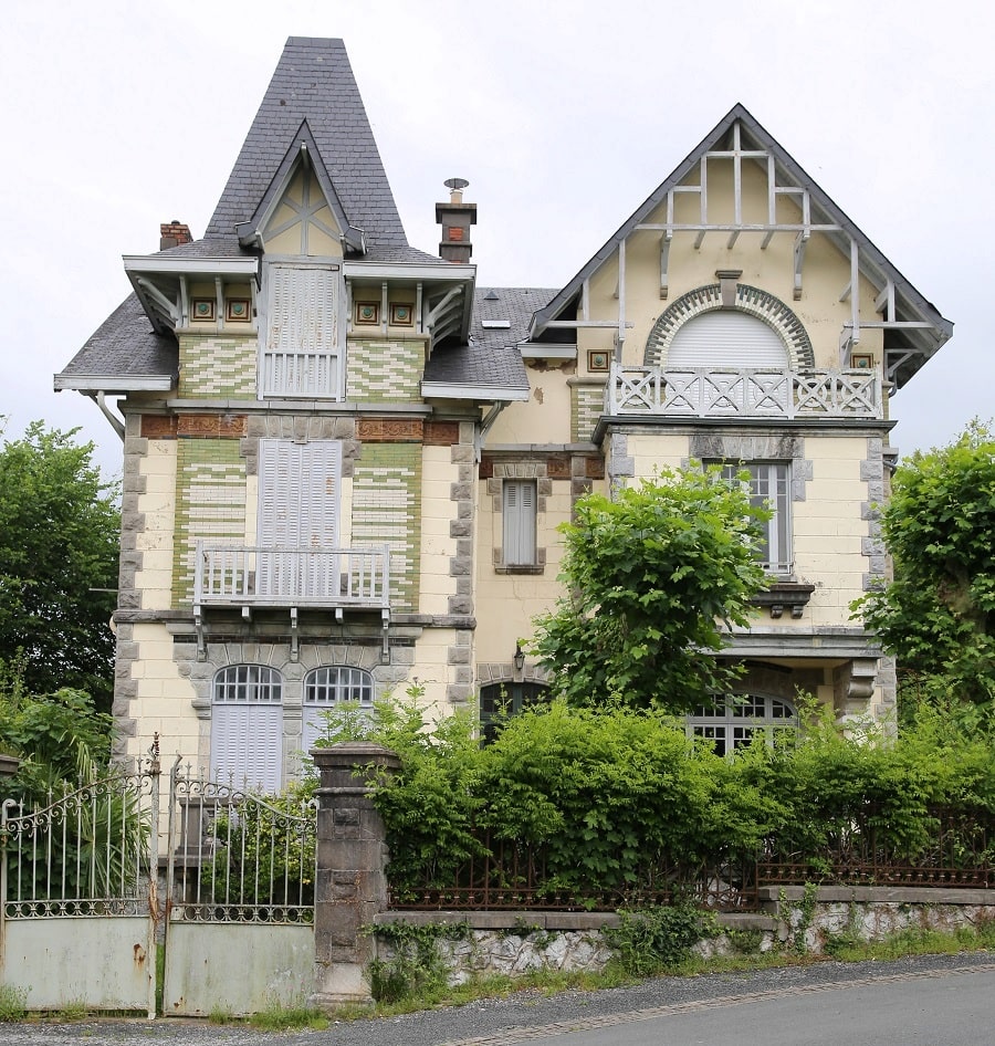

Sare is a French commune located in the Pyrénées-Atlantiques department (Nouvelle-Aquitaine region), on the border with Spain.
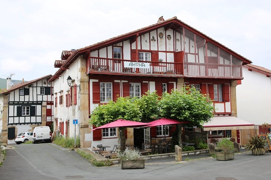
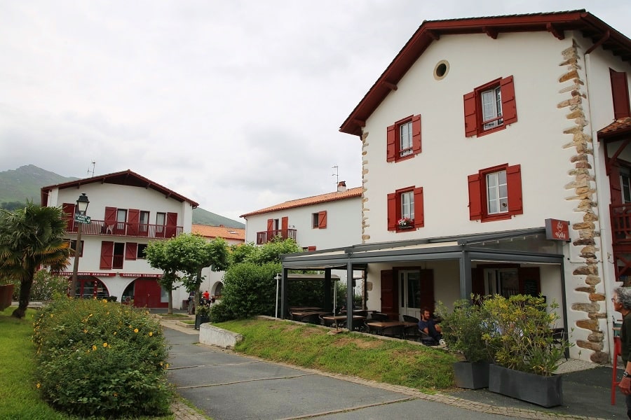
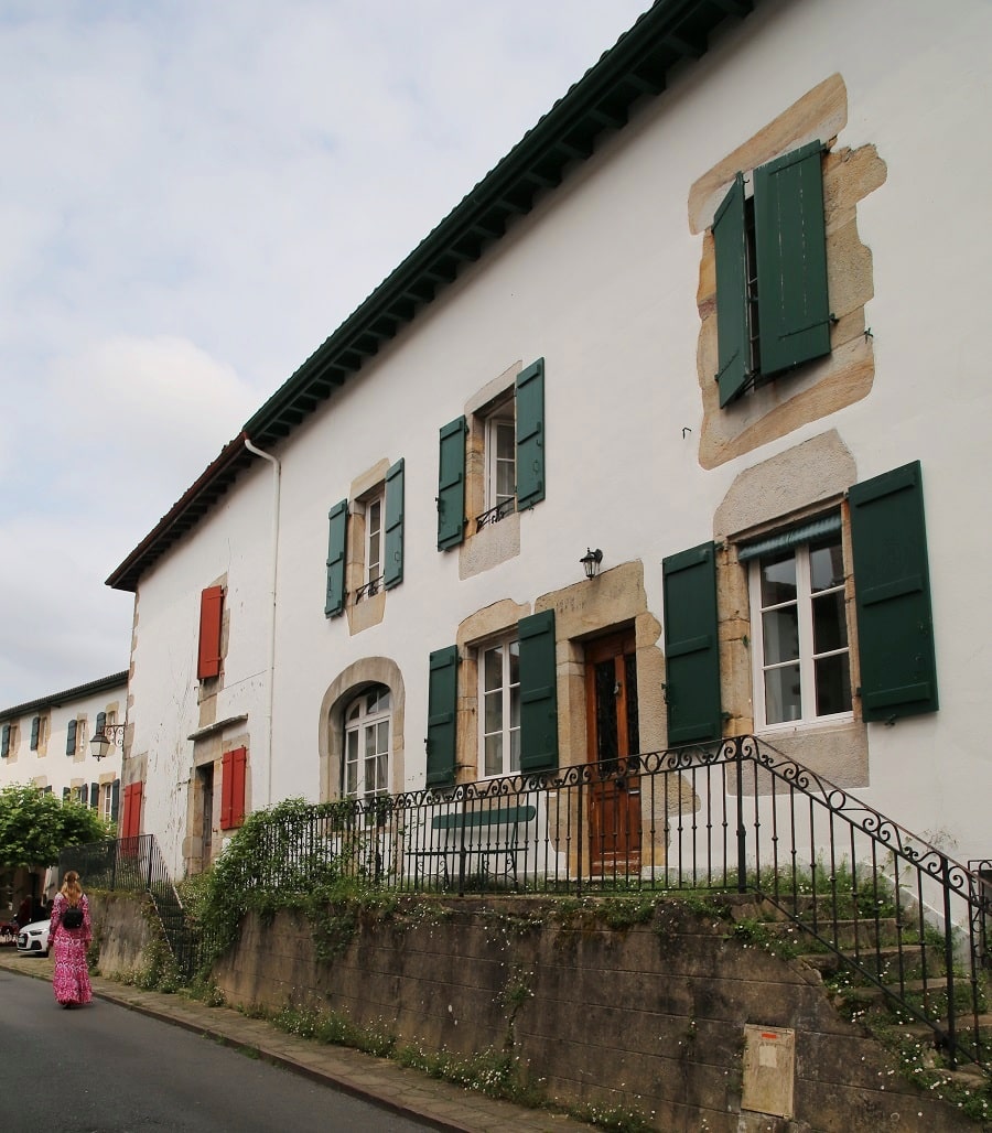
The traditional architecture, exterior decoration, and orientation define the archetypal rural Labourdine house known as a “Basque house.” Agricultural activity is deeply rooted in the landscape, although the town has been home to a mining industry since the Middle Ages, and more recently, a wool processing factory. The proximity of the border and the configuration of the terrain and communication routes, combined with the shared Basque language, have given rise to a local economy shared between Spain and France, the main trade of which is smuggling.
Sare has a wild or semi-wild natural heritage, surrounded by natural areas of ecological, faunal, and floral interest, or protected by national or regional regulations. The commune, which is part of the Basque province of Labourd, is located in the far southwest of French territory, on the border with Navarre. The nearest Atlantic coast is the Bay of Saint-Jean-de-Luz, 11 km away.
Tourism
The town, like Ainhoa, located 7 km away, has been awarded the label “Most Beautiful Villages of France.
In 2014, the tourist offerings in Sare included three hotels and six restaurants. There are also 77 of Gîtes de France.
There is a Basque cake museum at the Haranea house, for lovers of this iconic dessert from the Labourd region.

Sare has nine monuments listed in the inventory of historical monuments and cultural heritage. It also has one object listed in the inventory of historical monuments.
The Sare Caves are a speleological site that was occupied during prehistory and is located in the municipality of Sare. The Sare Caves were once inhabited by cave bears during hibernation periods. Thirteen species of bats currently inhabit the Sare Caves and have been protected by the Aquitaine Regional Conservatory of Natural Spaces and the Aquitaine Bat Group since 1999.
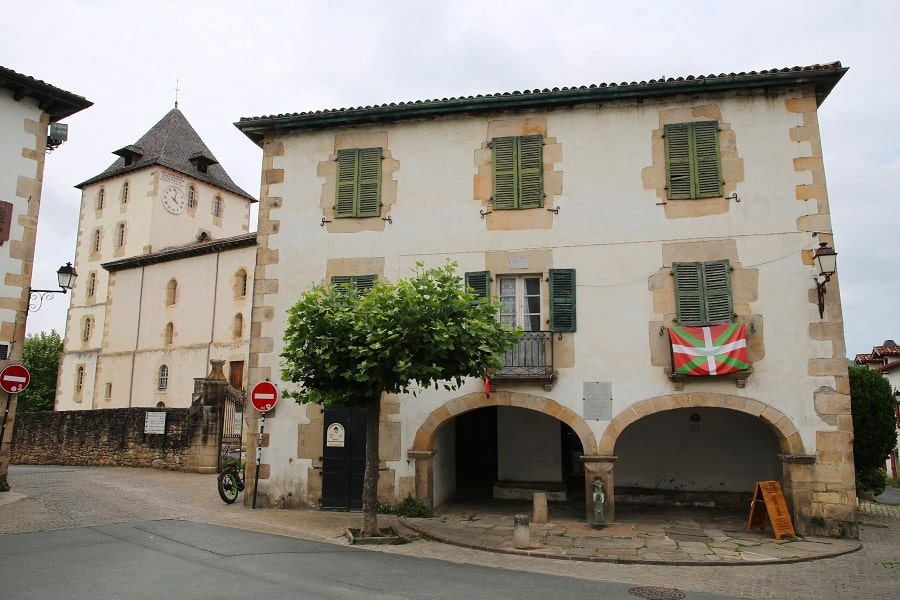
The Ihartzeartea house was built in the 18th century. It was the headquarters of the Sarako Izarra, a musical and dance group created in 1931. From 1937 to 1939, it was the rehearsal space for the Eresoinka group, formed at the initiative of the Basque government. A mural in the main hall bears witness to the presence of this group of 101 handpicked choristers and dancers who, for two years, served as ambassadors of Basque culture in the greatest venues of Western Europe.
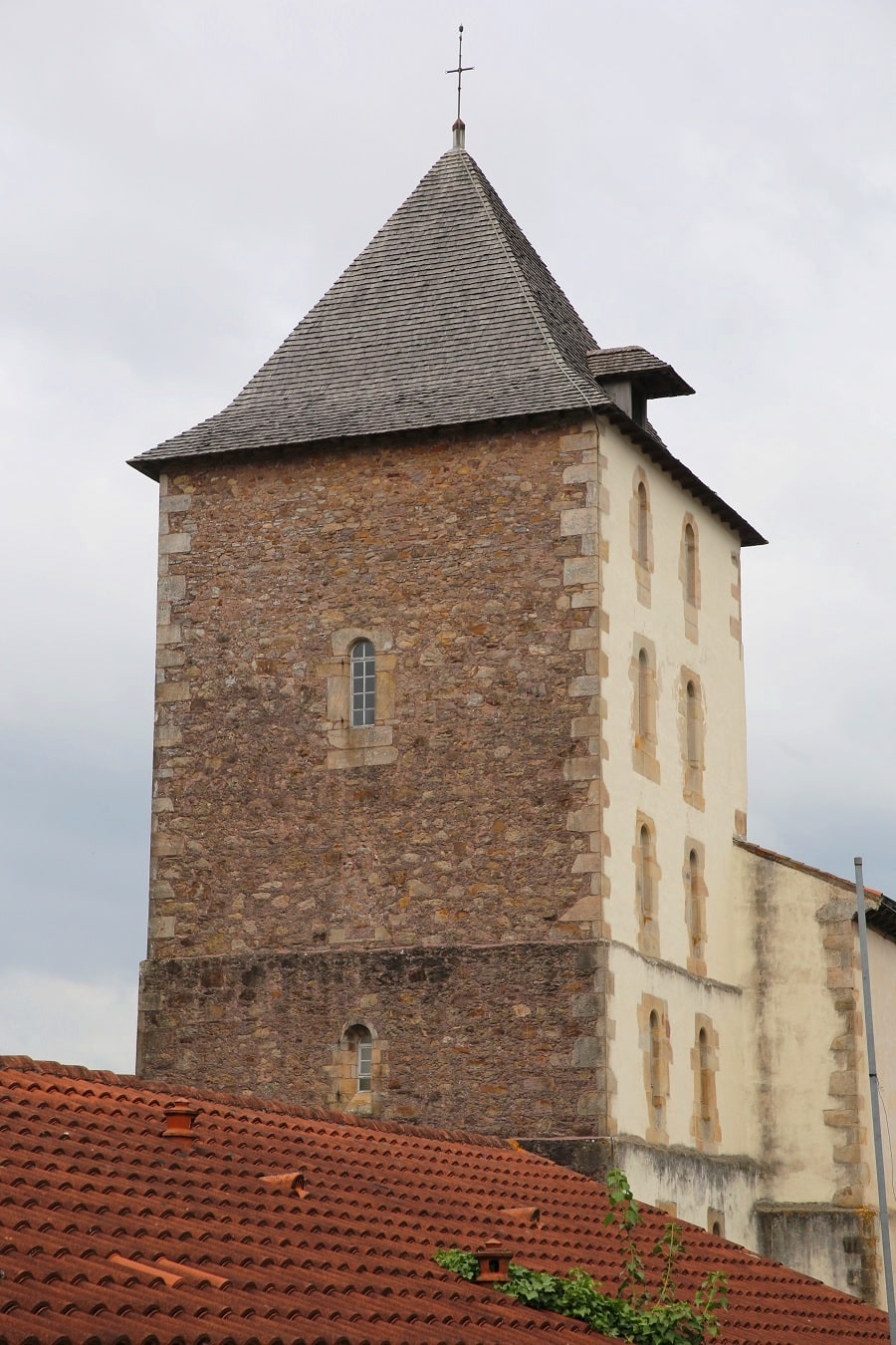
The Church of Saint Martin dates partly from the 12th century. It is a rectangular building with interior dimensions of 36.75 m by 15.80 m. It rises to a height of 12.75 m and is dominated by a bell tower that reaches a height of 30 m. Its function appears to have been, in addition to housing the bells, to monitor the border cirque that follows the ridgeline. It is a fortified church, with base walls 1.20 m thick.
Since June 30, 1924, the Rhune railway has allowed access to the summit of the Rhune, at 905 m, from the Col de Saint-Ignace, located at an altitude of 179 m.
The municipal territory benefits from national or regional regulatory protections for some of its sites. The Labourd complex is listed as a natural monument under surveillance. It concerns the municipalities of Ainhoa, Ascain, Espelette, Itxassou, etc., and is protected by the decree of the Ministry of Culture and the Environment of September 30, 1977.
Transport
Bus line 45 of the Txik Txak network connects Saint-Jean-de-Luz with Sare. One-way ticket costs €1.30.
By car
From Pau: 1 hr 37 min (138 km) via A64
From Bordeaux: 2 hr 26 min (213 km) via A63
From Andorra: 5 hr 5 min (432 km) via A64
From Barcelona: 5 hr 40 min (562 km) via AP-2
From Paris: 7 hr 15 min (798 km) via A10

Main information
Area: 51.34 km²
Coordinates: 43°18’46.1″N 1°34’51.7″W
Population: 2736
Language: French
Currency: Euro (€)
Visa: Schengen
Time: Central-European UTC +1
See here Pyrenees travel guide
See here France travel guide
See here Spain travel guide
See here Andorra travel guide