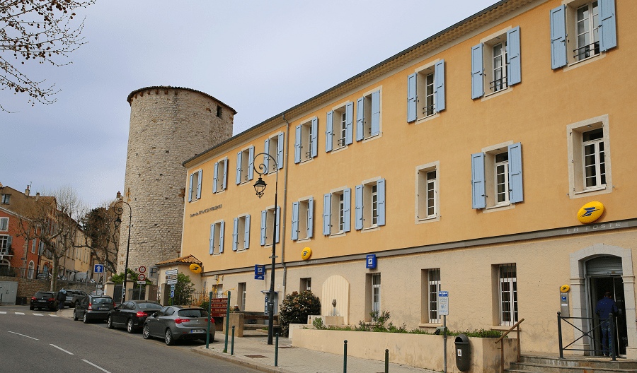

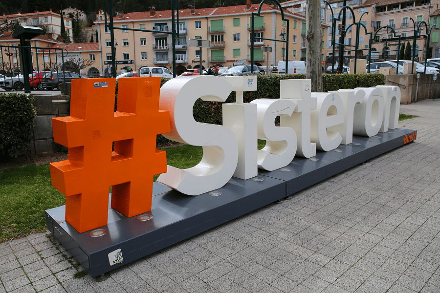
Sisteron (in Provençal Sisteroun) is a commune, located in the Alpes-de-Haute-Provence department in the Provence-Alpes-Côte d’Azur region (France).
Sisteron has been inhabited for 4,000 years. The Romans used the route through Sisteron as can be shown by a Latin inscription in the rocks near the road to Authon.
It escaped the barbarian invasions after the fall of Rome, but was ravaged by the Saracens. It was first fortified by the Counts of Forcalquier in the 11th century and later was the northern boundary of the domain of the Counts of Provence.
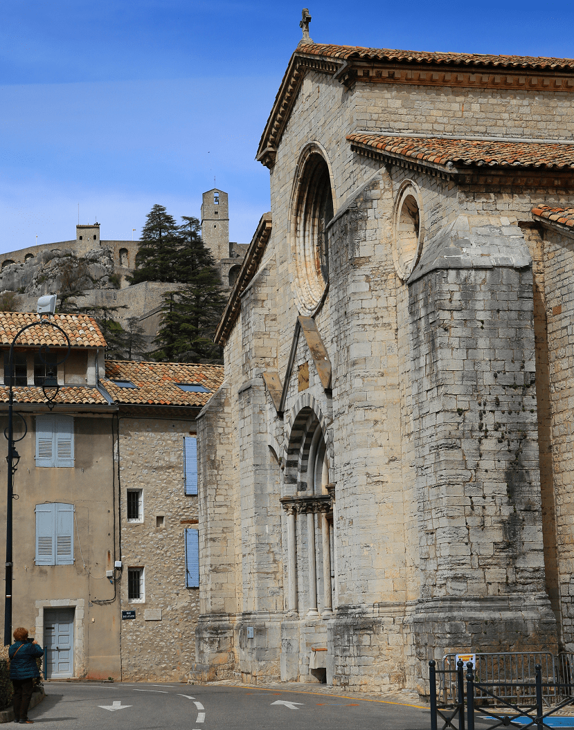
Sisteron is situated on the banks of the river Durance just after the confluence of the rivers Buëch and Sasse. It is sometimes called the “Gateway to Provence” because it is in a narrow gap between two long mountain ridges.
It is currently a small industrial and tourist town (petrochemical factory and industries revolving around the slaughterhouses).
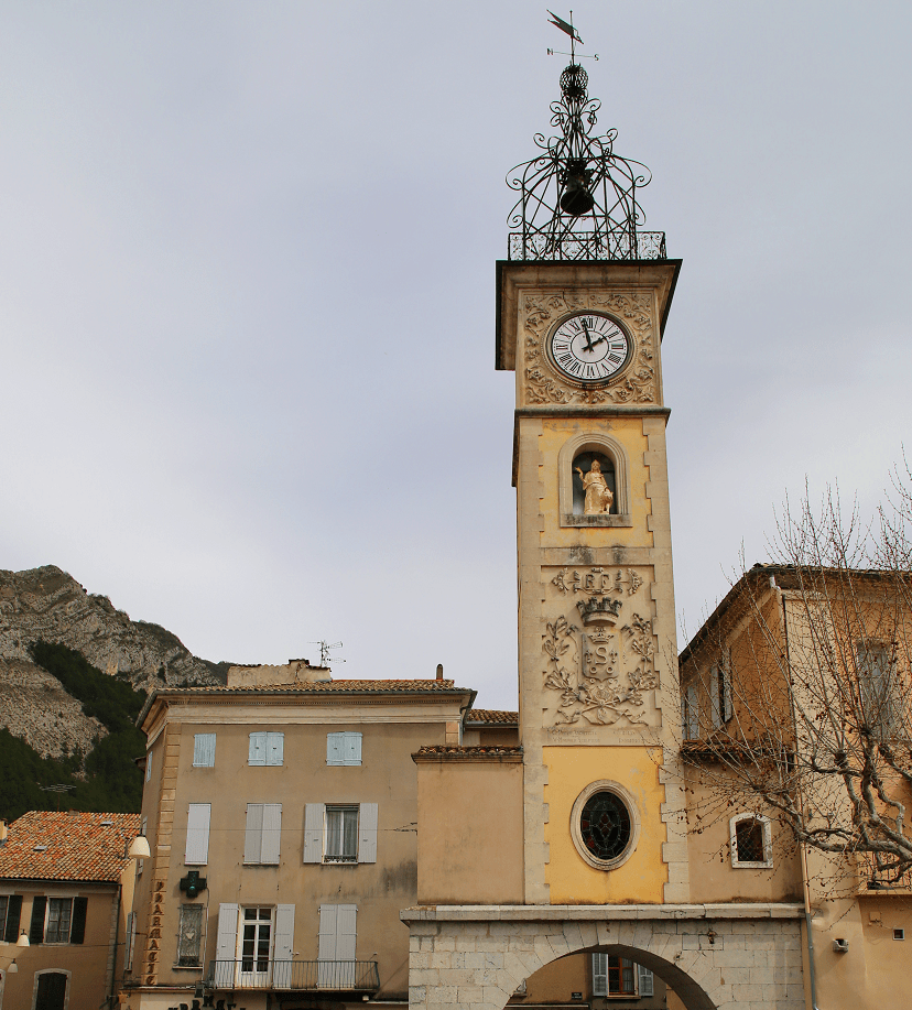
Tourism and main attractions
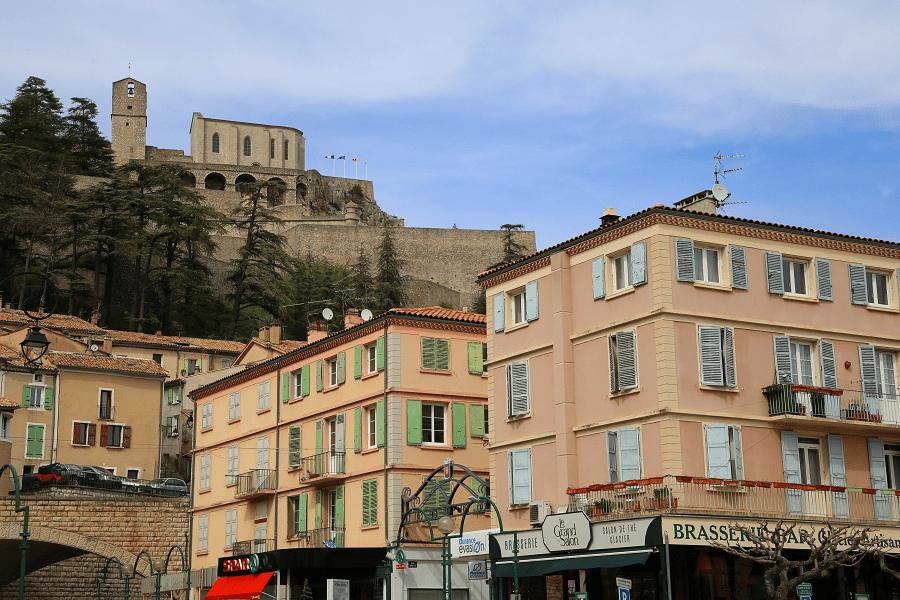
Considered exceptional, the citadel site was classified in 1925, covering an area of 7 hectares. The classification concerns both the citadel, the rock which supports it, the woods and terraces, and the perspective on the city and the citadel.
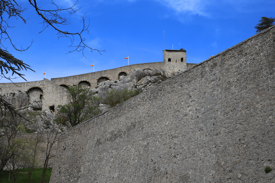
Military architecture
The Sisteron citadel, classified as a historic monument, is the work of a precursor of Vauban, Jean Érrard, engineer to Henri IV. From its elevated position we discover a superb panorama of the city and the Durance valley. The Clock Tower was used as a prison. The view looks down over the lower town and extends, to the north, to the mountains of Laup and Aujour which close the Laragne basin.
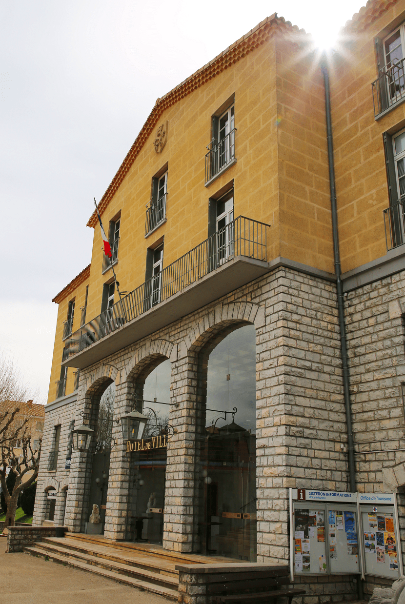
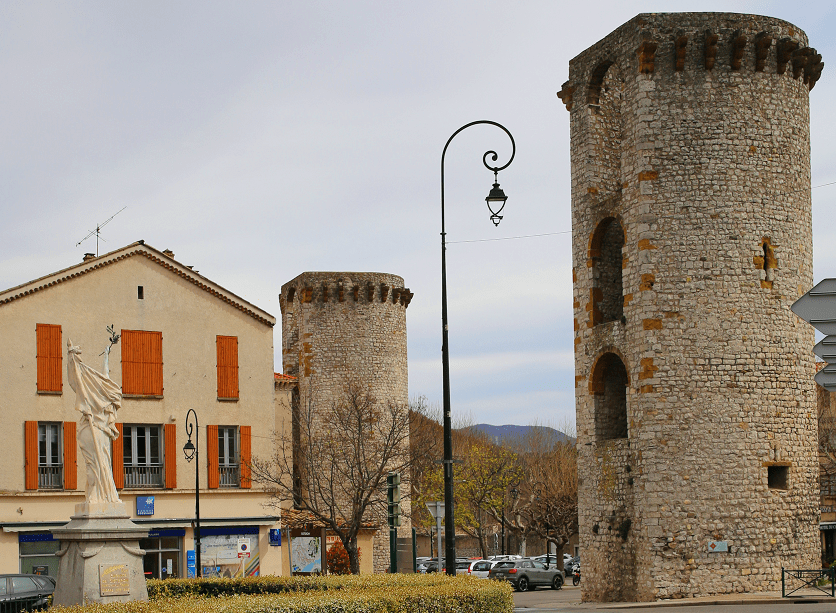
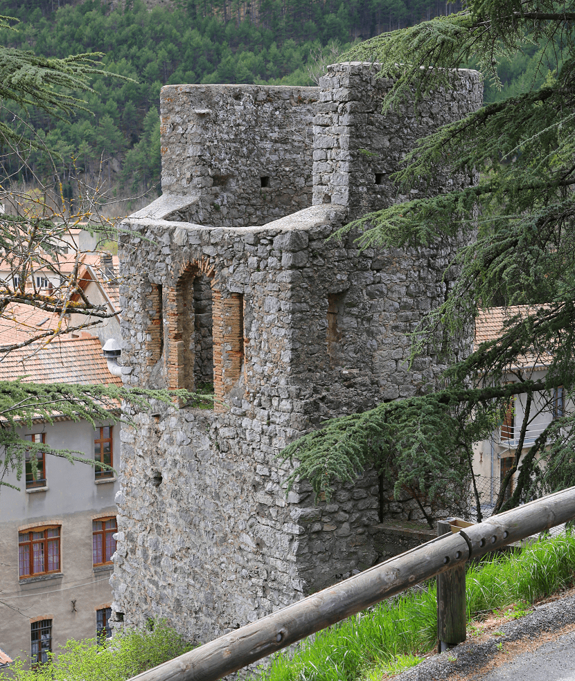
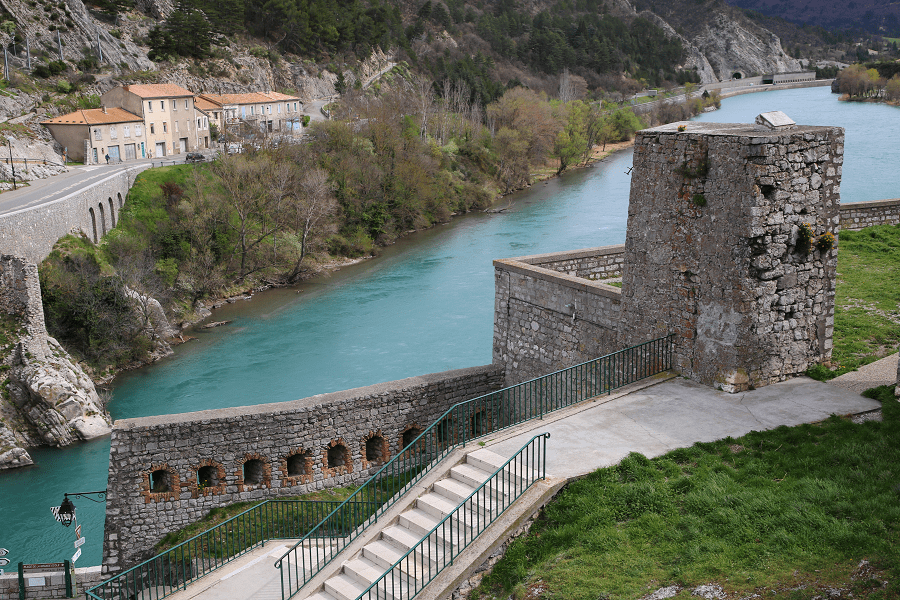
Saved from destruction by Prosper Mérimée, five towers remain from the enclosure built in 1372-1373, rounded outwards and open to the interior of the city, with portions of the wall, elements classified as historic monuments.
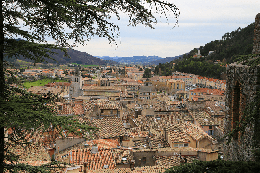
These five towers each have a name:
- The Fort tower at the foot of the Citadel.
- The Gens d’Arme tower near the Post Office, the only one having been inhabited and having a roof.
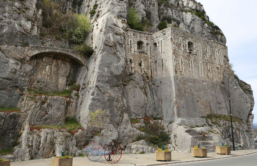
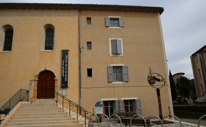
- The tower of La Médisance near the Cathedral, which has preserved the interior staircase which gave access to the wooden galleries (hourds) supported on the corbels.
- Notre-Dame Tower.
- The Porte Sauve tower.
Civil architecture
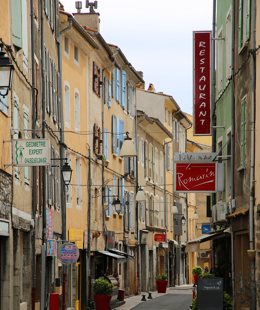
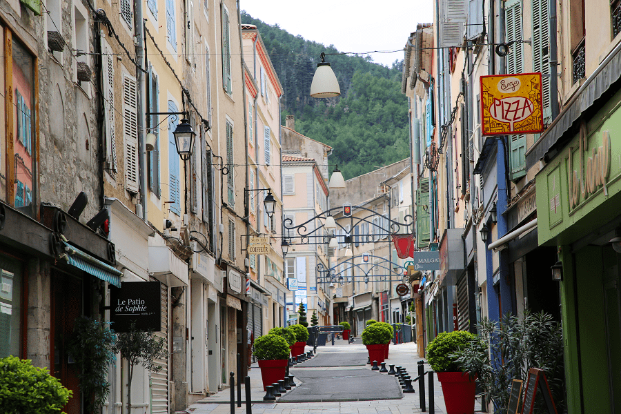
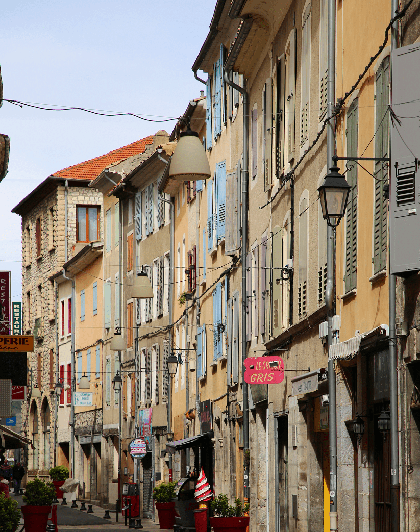
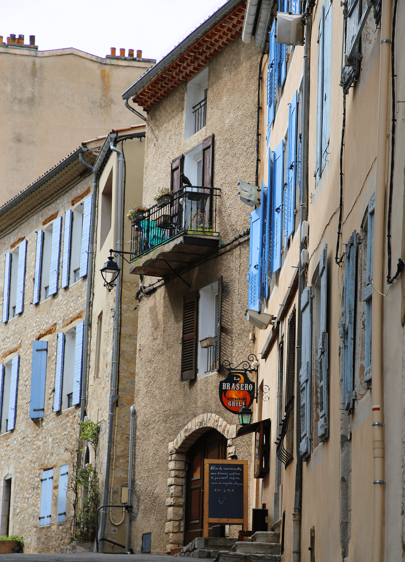
The old town has several old houses:
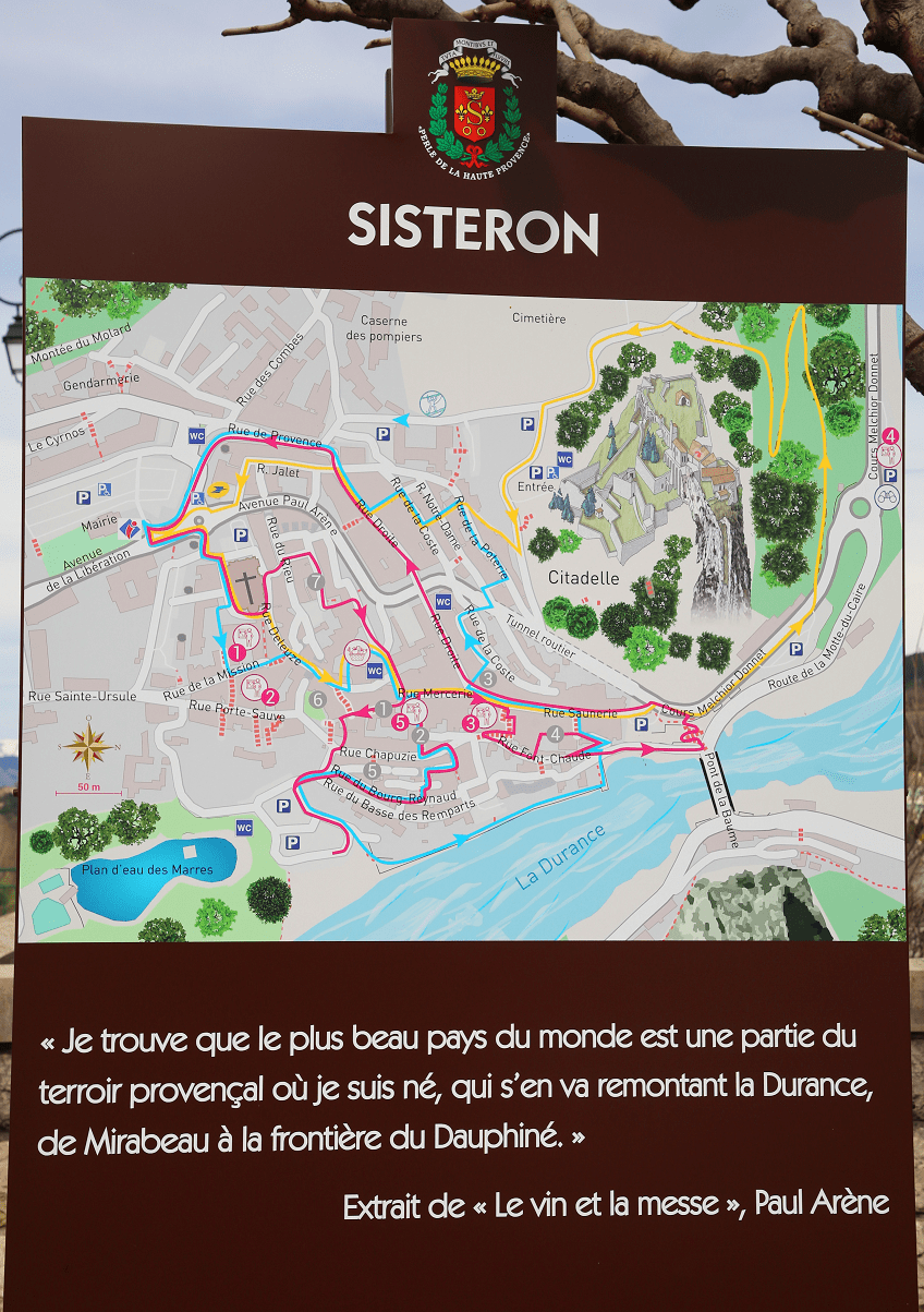
- Rue Mercerie, a house with twin bays and broken arches, and whose capitals are sculpted with plant motifs (14th century); some of these elements are inscribed;
- Hôtel de la Baume, rebuilt in 1946, retains a twin bay and a capital from the beginning of the 14th century;
- Some houses from the 15th and 16th centuries on rue de la Pousterle;
- Rue Droite, a house from the beginning of the 17th century with a beautiful carved door.
- The hospital dates back to the creation of the charitable hospice in 1705 by Guillaume de Saint-Donat. Enlarged several times, its facades have been redone and no longer present any original elements. Its facades and roofs are nevertheless listed.
Two buildings bear witness to the prosperity of the Belle Époque:
- The savings bank: the front body is decorated with a broken pediment with broken fins, between which is placed the city’s coat of arms. It is topped with a crown and cornucopias;
- The Civatte building, Place du Général de Gaulle, has many careful ornamental details: moldings, sculptures, ironwork.
The Baume bridge is 40 m long and 6 m wide; it rests on an arch with a span of 28 m. Its last reconstruction dates from 1945, after the previous one was destroyed by Allied bombings. This previous bridge dated from 1365 (repaired in 1501).
The bridge over the Buëch, near the confluence with the Durance, dates from 1727.
The Château de la Cazette, near this bridge, with a U-shaped plan, dates from the end of the 17th century, and replaces an old hunting lodge. All around the town, there are other stately residences:
- The castle of Sainte-Euphémie (17th century);
- Beaulieu Castle;
- The castle of Servoules;
- The Haute-Rive castle;
- The castle of Sainte-Ursule;
- Other castles in Valernes, Noyers-sur-Jabron and Valbelle.

Shortest distances by car
From Paris: 7 hr 7 min (718 km) via A6
From Marseille: 1 hr 20 min (131 km) via A51
From Nice: 2 hr 38 min (239 km) via A8
From Toulouse: 4 hr 28 min (488 km) via A61 and A9
From Monaco: 2 hr 55 min (262 km) via A8
From Andorra: 6 hr 21 min (614 km) via A9
From Madrid: 11 hr 42 min (1,193 km) via A-2
From Moscow: 35 hr (3,142 km) via E30/M1
From Belgrade: 14 hr 55 min (1,390 km) via E70 and A4
From Istanbul: 25 hr (2,340 km) via A4
From Bern: 4 hr 56 min (445 km) via A1
Main information
Area: 50 km2
Population: 7 699
Coordinates: 44°11′28″N 5°56′50″E
Language: French
Currency: Euro
Visa: Schengen
Time: Central European UTC +1
See here France travel guide
See here Spain travel guide
See here Pyrenees travel guide
See here Andorra travel guide