

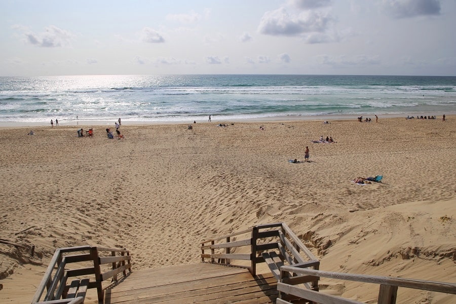
Mimizan (Occitan: Mamisan) is a commune in southwestern France, located in the Landes department in the Nouvelle-Aquitaine region. It belongs to the Pays de Born (Gascony) and is located in the area of the Landes forest.
The commune is divided between two distinct hubs: Mimizan-Bourg and Mimizan-Plage, the latter being one of the main seaside resorts on the Côte d’Argent.
Tourism
Mimizan has ten kilometers of beaches. The ocean beaches, from north to south, are:
- Remember Beach, Ailes Beach, and Garluche Beach (north of the current);
- Goëlands Beach, Mouettes Beach, South Beach, and Lespecier Beach (south of the current).
The other beaches are Courant Beach and Lake Aureilhan.
*The town features numerous clean beaches but is not advised for tourists because of the nearby Gascogne Papier factory, which is situated just 1 km from the coast. This factory is a leading producer of natural kraft paper, and its operations result in significant air pollution within a 2 km radius, contributing to an unpleasant odor in the town.
Mimizan has a state-owned forest managed by the National Forestry Office, the Malloueyre Hunting and Wildlife Reserve, and three Natura 2000 sites (SCI/pSCI):
- “Dunes of the Landes Coast from Arcachon to Mimizan-Plage”;
- “Dunes of the Landes Coast from Mimizan-Plage to Vieux-Boucau,” including the Malloueyre ponds and the Tirelagüe lagoon;
- “Wetlands of the Back Dune of the Pays de Born,” including the Aureilhan pond.
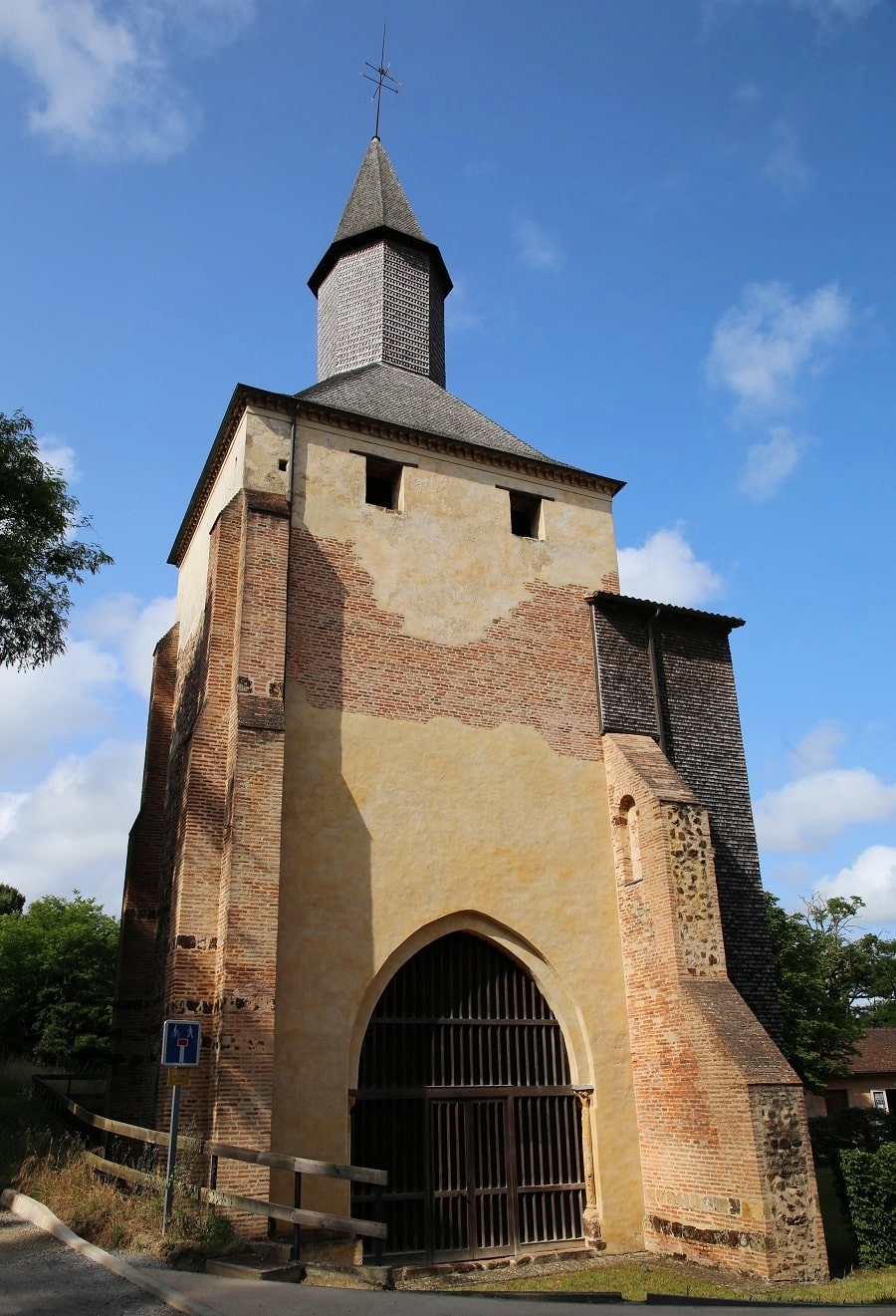
The town owns the bell tower-porch of the former priory church of Mimizan (11th-13th centuries), partially listed as a historical monument in 1903 and fully in 1990, and designated a UNESCO World Heritage Site in 2000 as part of the Route of Santiago in France.
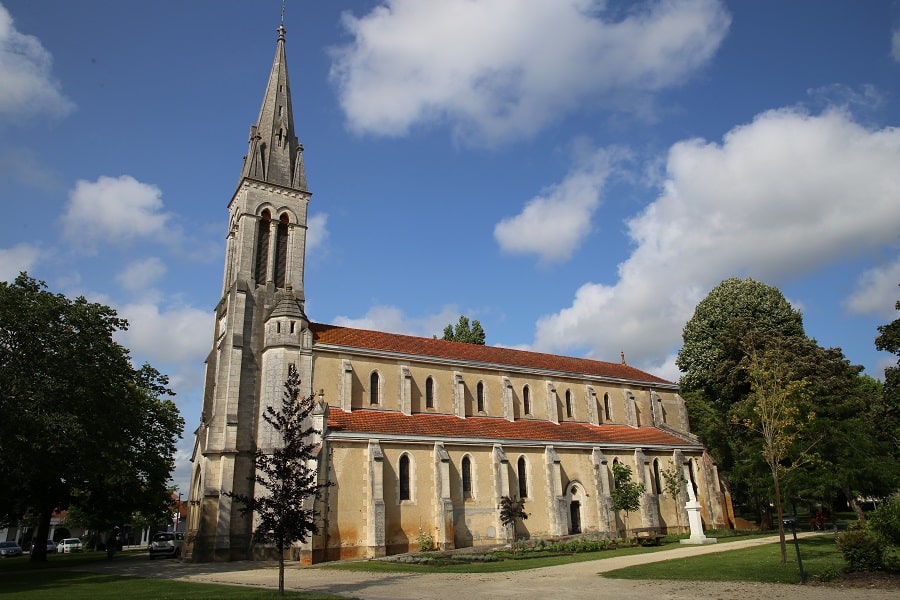
The town also has the Church of Our Lady of the Assumption (1887-1891).
Transport
Regional line 454 connects Mont de Marsan, the prefecture of Landes, to Mimizan-Plage. The one-way ticket costs €3.
By car
From Mont-de-Marsan: 1 hr 7 min (78 km) via D44
From Biarritz: 1 hr 29 min (126 km) via A63
From Bordeaux: 1 hr 32 min (114 km) via A63
From Andorra: 5 hr 35 min (464 km) via A62
From Barcelona: 6 hr 50 min (566 km) via A-2
From Paris: 6 hr 50 min (698 km) via A10

Main information
Area: 114.83 km²
Coordinates: 44°12’08.6″N 1°13’45.9″W
Population: 7449
Language: French
Currency: Euro (€)
Visa: Schengen
Time: Central-European UTC +1
See here Pyrenees travel guide
See here France travel guide
See here Spain travel guide
See here Andorra travel guide




