The Seine is a river, 774.76 km long, which flows in the Paris Basin (France) and in Troyes, Paris, Rouen and Le Havre in particular. Its source is located at 446 m altitude in Source-Seine, in Côte-d’Or, on the Langres plateau. Its course has a general orientation from the southeast to the northwest. The Seine flows into the English Channel between Le Havre and Honfleur. Its watershed, with an area of 79,000 km2, is occupied by approximately 30% of the country’s population.
In 1991 UNESCO added the banks of the Seine in Paris—the Rive Gauche and Rive Droite—to its list of World Heritage Sites in Europe.

The Seine is dredged and ocean-going vessels can dock at Rouen, 120 kilometres (75 mi) from the sea. Commercial craft (barges and push-tows) can use the river beginning at Marcilly-sur-Seine, 516 kilometres (321 mi) to its mouth.
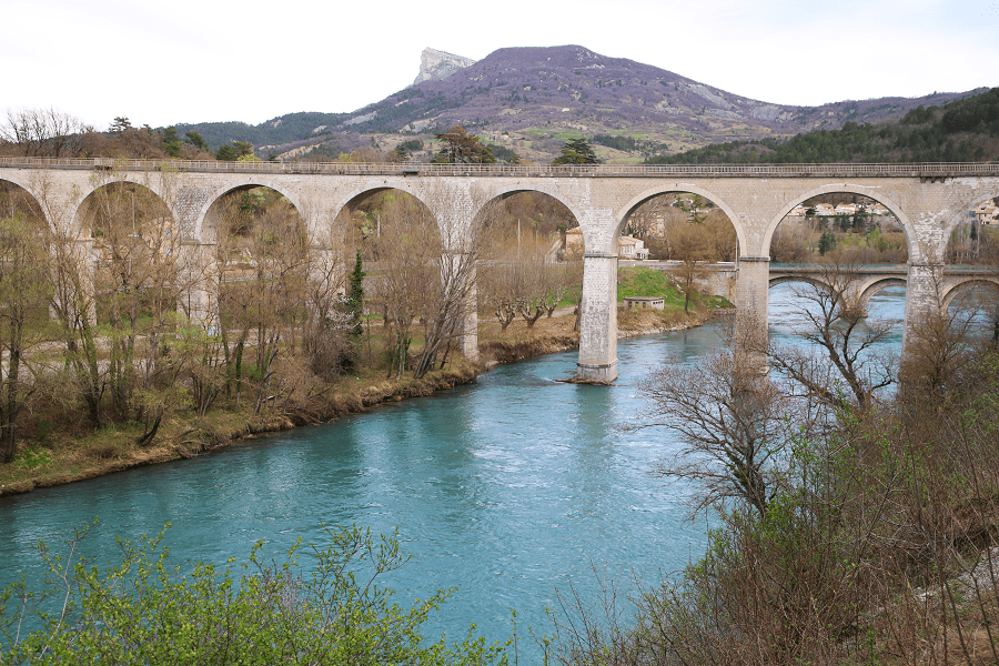
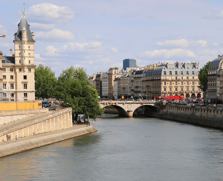
At Paris, there are 37 bridges. The river is only 24 metres (79 ft) above sea level 446 kilometres (277 mi) from its mouth, making it slow flowing and thus easily navigable.

The Seine Maritime, 123 kilometres (76 mi) from the English Channel at Le Havre to Rouen, is the only portion of the Seine used by ocean-going craft. The tidal section of the Seine Maritime is followed by a canalized section (Basse Seine) with four large multiple locks until the mouth of the Oise at Conflans-Sainte-Honorine (170 km [110 mi]).
Smaller locks at Bougival and at Suresnes lift the vessels to the level of the river in Paris, where the junction with the Canal Saint-Martin is located. The distance from the mouth of the Oise is 72 km (45 mi).

The Haute Seine, from Paris to Montereau-Fault-Yonne, is 98 km (61 mi) long and has 8 locks. At Charenton-le-Pont is the mouth of the Marne. Upstream from Paris seven locks ensure navigation to Saint Mammès, where the Loing mouth is situated.

Through an eighth lock the river Yonne is reached at Montereau-Fault-Yonne. From the mouth of the Yonne, larger ships can continue upstream to Nogent-sur-Seine (48 km [30 mi], 7 locks). From there on, the river is navigable only by small craft to Marcilly-sur-Seine (19 km [12 mi], 4 locks). At Marcilly-sur-Seine the 19th century Canal de la Haute-Seine used to allow vessels to continue all the way to Troyes. This canal has been abandoned since 1957.

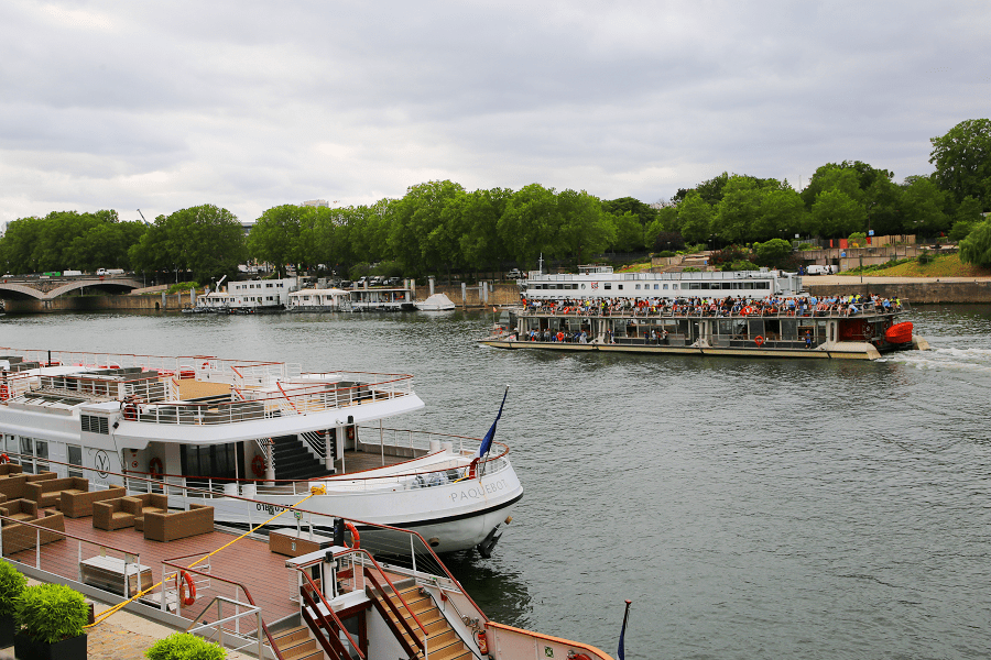
The average depth of the Seine today at Paris is about 9.5 metres (31 ft). Until locks were installed to raise the level in the 1800s, the river was much shallower within the city, and consisted of a small channel of continuous flow bordered by sandy banks (depicted in many illustrations of the period). Today the depth is tightly controlled and the entire width of the river between the built-up banks on either side is normally filled with water. The average flow of the river is very low, only a few cubic metres per second, but much higher flows are possible during periods of heavy runoff.

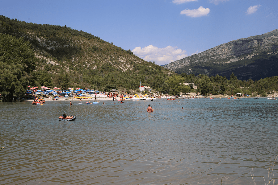
In 2018, a €1.4 billion ($1.55 billion) cleanup programme called the “Swimming Plan” was launched with the aim of making the river safe to use for the 2024 Summer Olympics. The project includes constructing a basin to store rainwater, which would then be slowly released into the sewer system, preventing overflow. Plans also call for several public swimming areas to be made available by 2025, ending a 102-year ban instituted in 1923 due the polluted water.