The municipality of Sant Llorenç de Morunys is the smallest of the 14 municipalities that make up the Solsonès region, Catalonia (Spain) It has only 4.34 km² which are not even in a single continuous line, as it is divided into two parts.
The smallest of the two parts does not reach 1 km² and is constituted by an enclosure shaped like a musketeer hat when seen from a side and with the front tip of the hat facing towards the town of Sant Llorenç. This enclave includes Mola de Lord, the southern section of the Tossal de Vall-llonga slope and to the north it forms a narrow strip, about 500 m long and 150 wide.To the east it borders with the road that goes to the sanctuary of Lord and to the west with the Torroella gully, and its northernmost part begins after the second turn to the left, which is the path that leads to the sanctuary, having passed the tunnel. This narrow strip borders to the north and east with Guixers and the rest of the enclave borders with Navès.
The largest part of the municipal district, which includes the urban nucleus, has about 3.6 km² and is surrounded by the municipal district of Guixers, except for a narrow strip in the NW of about 400 meters in length where it runs through the municipal district of La Coma and La Pedra.
Location and orography
Large part of the municipality is located in the south-eastern part of the Sovereign Valley of Lord, on a plane sloping to the east, on the lower part of the south east slope of the Querol range and on the eastern slope of Coll de Jou.
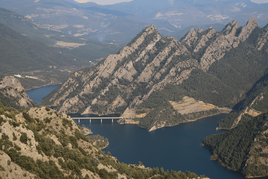
The easternmost point of this part of the municipal district is flooded by the waters of the Llosa del Cavall reservoir.
It is the lowest altitude part of the municipality (the water level of the reservoir, when it is full, reaches to 805 m) and the highest altitude points are reached west of the chapel of Santa Creu of the Ollers at 1,010 m and on the southern slope of the Rocks of Lord, where it reaches 1,100 m.

As for the southern enclave, it is located on the south side of the Roques de Lord, its highest altitudes are reached at the top of the hill of Vall-Llonga which rises to 1,252 m and at the top of the Mola de Lord that rises up to 1,189 m while the lowest part corresponds to 900 m of altitude at the edge of the gully of Torroella.
In the official gazetteer of the toponyms of Catalonia, only the following names appear: the Serrat de la Creueta and Mola de Lord.
It has a mediterranean climate typical of a territory that is at altitudes between 800 m and 1,100 m. In the town of Sant Llorenç de Morunys, the precipitation averages 81.66 mm annual, May is the wettest month (92 mm on average) and February the driest (32 mm on average). The average annual temperature is 10.5 °C, January is the coldest month (-1.9 °C lowest average) and July is the warmest month (27.0 °C maximum average). The average solar radiation is 14,190 w / m² per day.
History
The history of Sant Llorenç is related to that of the monastery that gave it its name, even though in the old documentation, it is mentioned as Novezào Lanoves:
● In 910, in this place, there was a house and a church, where under a canonical rule of Visigothic tradition lived some clergymen, presided by Abbot Bo
● Between 920-948 Abbot Ciendiscle succeeds Bo. The community received land donations
● In 971 Count Borrell II endowed this community with an extensive ownership of the Navès lands, among it a place called Cort and the church of Sant Pere, that surely is Sant Pere de Ventolra
● In 992 Count Ermengol I, son of Borrell II, makes new concessions that include much of the Valley of Lord Sobirana
● In 997 Posada parish is added to the previous donations. These county donations and the incipient monastery are a manifestation of the desire to repopulate the sector
● In 1019 in the context of introducing the Benedictine rule, the monastery adopted it at the request of the bishop of La Seu d’Urgell, Sant Ermengol, joining the Tavèrnoles monastery as a priory. As a result of this establishment, the construction of the Romanesque temple began, that today is the parochial temple
● According to a document (perhaps not authentic) in 1069 the Count Ermengol IV gave Mola de Lord to Sant Llorenç
● In 1283 Ramon Folc, the first count of Cardona, granted the legal status of vila franca (cat. freetown) to the families that had been installed around the monastery. This, meant the birth of the town of Sant Llorenç (for a while it was named Vilafranca, although, before, the group of houses formed around the monastery had been known as La Pobla
● In 1343, the Brotherhood of the Colls was founded
● Towards 1400 the town was already walled with the current irregular pentagonal shape
● In 1419, Lluís Borassà painted the altarpiece of the Holy Spirit
● In 1480, Francesc Solives painted the altarpiece of the Mercy
● In 1713, Joan F. Morató sculpted the altarpiece of the main altar following the plan of Segimon Pujol, the grandfather of the famous Sculptor dels Colls
● Between 1773 – 1784 The sculptor Josep Pujol i Juhí, commissioned by the Brotherhood of the Colls, built the chapel of the Virgen de los Colls
● In 1823, Antoine Rotten, general of the liberal army, gave the order to set fire to the town, and on January 20 San Lorenzo had already been reduced to ruins after being looted
● On September 19, 2012, Sant Llorenç de Morunys is proclaimed Free Catalan Territory
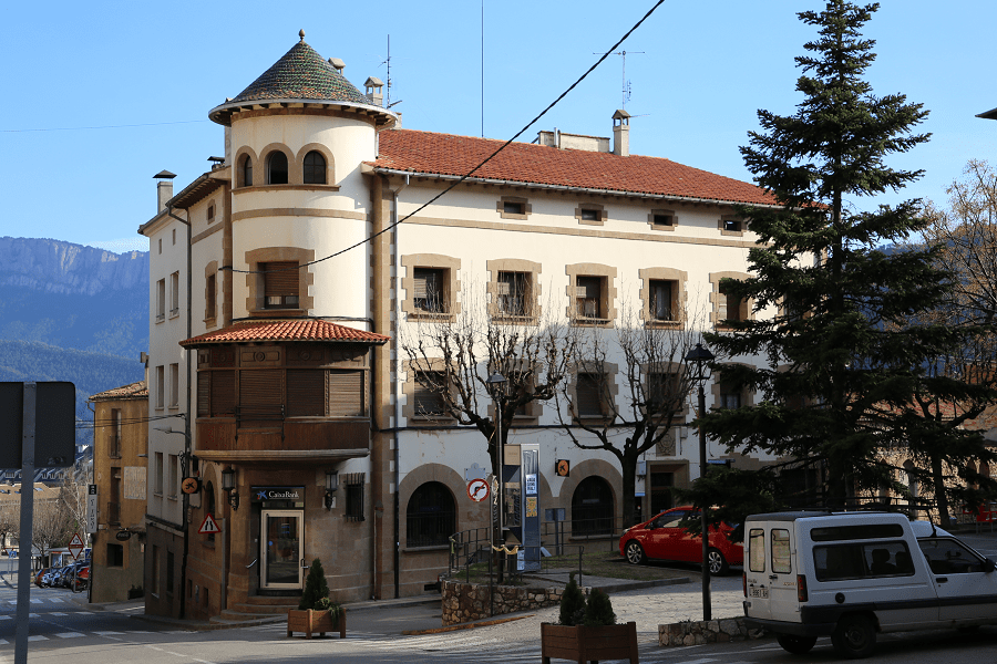
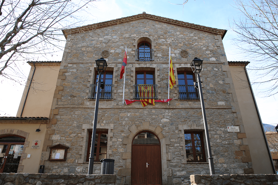
Tourism, sights, historic buildings and what to see?
List of architectural elements of Sant Llorenç de Morunys that are included in the Inventory of the Architectural Heritage of Catalonia:
● Cal Sant (Style: vernacular, Period: 17th and 18th centuries)
● Capella de la Pietat (Style: Gothic, Period: 15th Century)
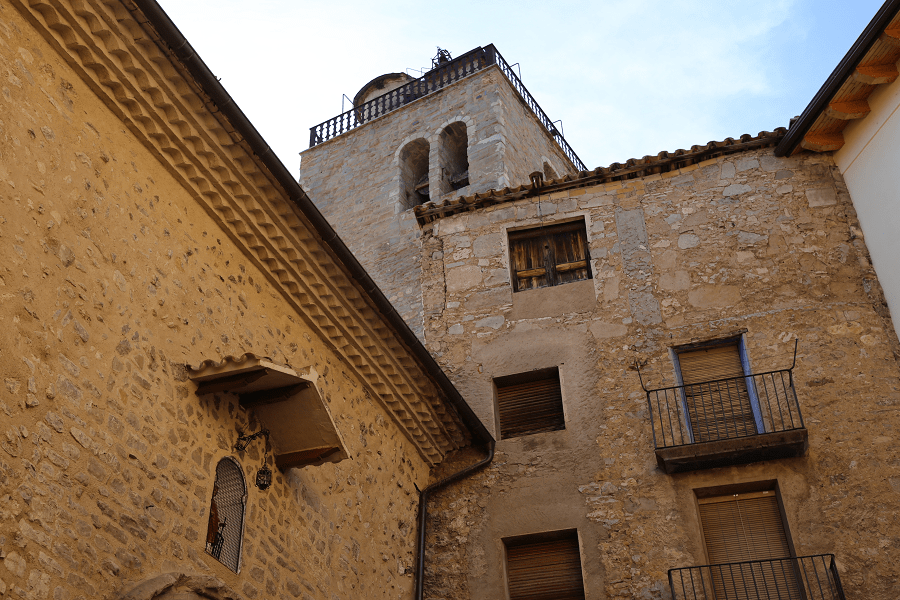
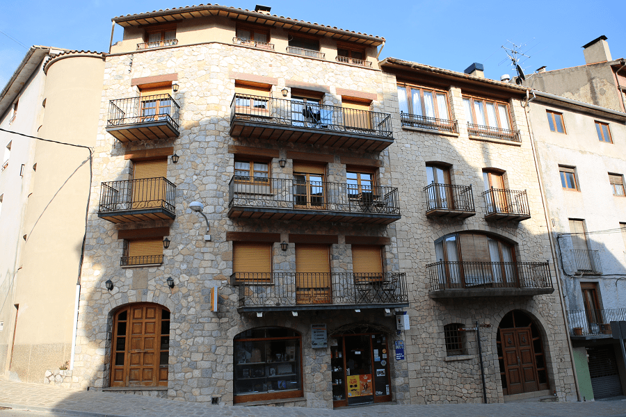
● Carrer de l’Església (Church Street) (Style: vernacular, Period: 15th, 18th and 19th centuries)
● Carrer Major (Style: vernacular, Period: 14th and 15th centuries)
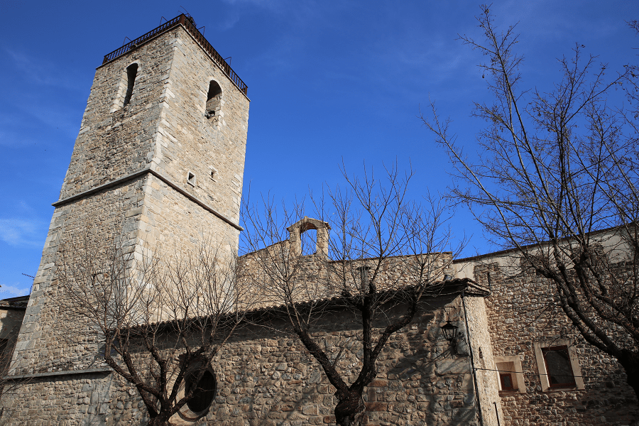
● Church of Sant Serni de Vilamantells o del Grau (Style: Romanesque, Period: 11th Century)
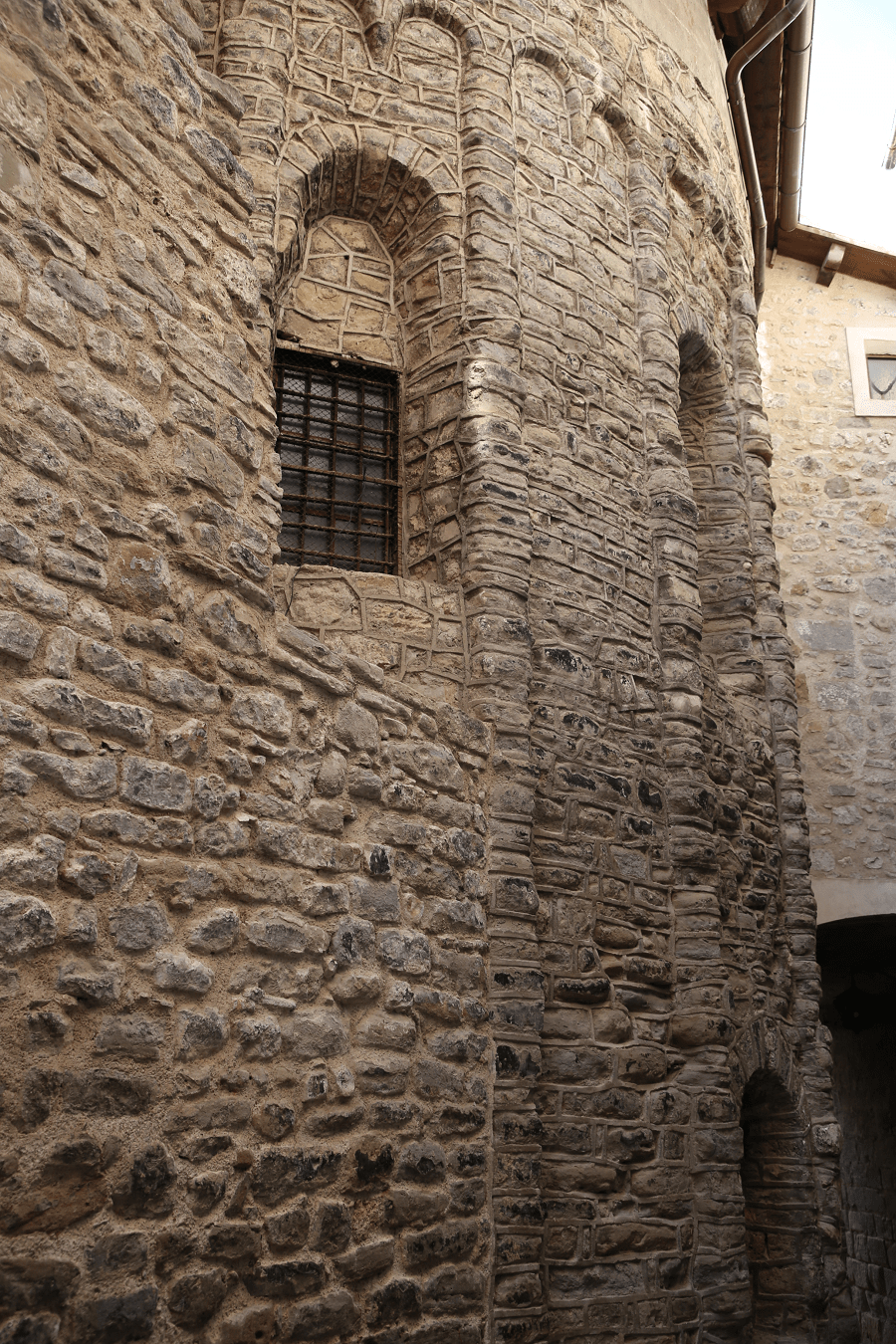
● Church of Sant Llorenç de Morunys (Style: Romanesque, Period: 11th, 16th and 18th centuries)
● Church of Santa Creu de Morunys (Style: Romanesque, Period: 11th Century)
● River Mill (Style: vernacular, Period: 17th Century)
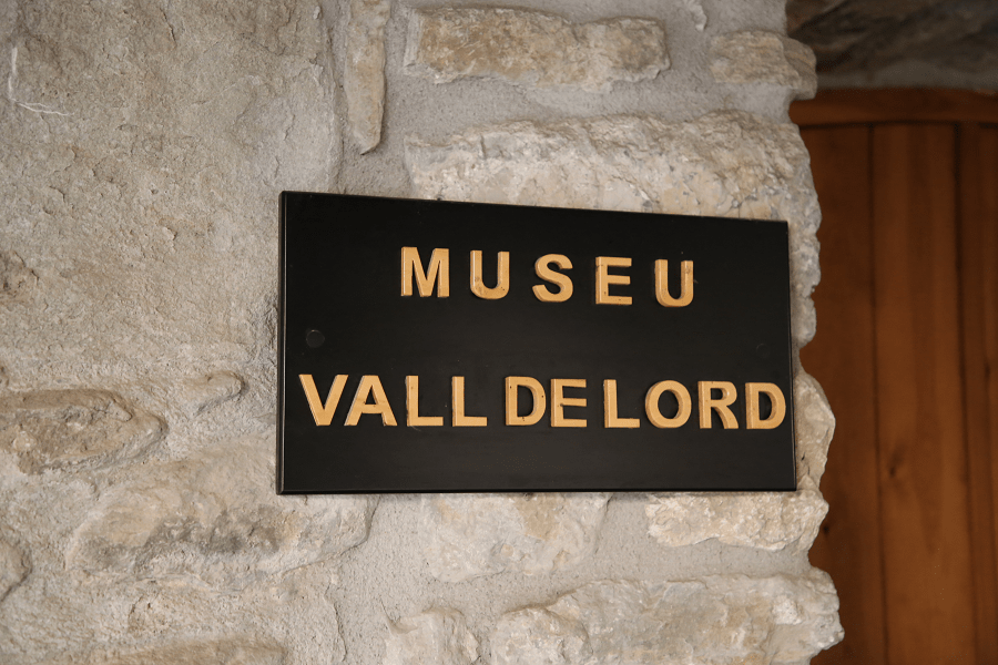
● Museum of the Patronage of the Valley of Lord (former headquarters of the Brotherhood of the Colls) (Style: vernacular, Period: End of the 18th century)
● Plaça Major (Main square) (Style: vernacular, Period: 18th and 19th centuries)
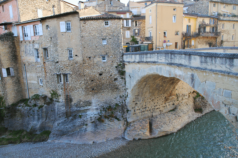
● Remains of the Pont del Boato (Style: vernacular, Period: Medieval)
● Pontet sobre Salines (Small bridge over Salines) (Style: vernacular, Walled town enclosure, Period: 13th, 14th, 16th and 18th centuries)
● Cal Baró Vell (Style: vernacular, Period: 17th, 18th and 20th centuries)
● Remains of the Pont del Boato (Style: vernacular, Period: Medieval)
● Pontet sobre Salines (Small bridge over Salines) (Style: vernacular, Walled town enclosure, Period: 13th, 14th, 16th and 18th centuries)
● Santuari de la Mare de Déu de Lord (Style: Neoclassicism, Period: 19th century)
● Santuari de la Mare de Déu dels Àngels (Sanctuary of Our Lady of the Angels) (Style: vernacular, Period: 17th Century)
● Tower of the Baron (Baron Tower) (Style: vernacular, Period: 17th and 18th centuries)
● Vall de l’Estudi and Vall del Solà (Style: vernacular, Period: 17th and 18th centuries)
● Vallfred (Style: vernacular, Period: 17th and 18th centuries
mall bridge over Salines)
Shopping
Shopping in Sant Llorenç de Morunys is not a priority on the tourist program. Only on weekends city bazaars and fairs, which traditionally take place on weekends or on some public holidays in the main square, can be of tourist interest. At the fairs, in particular, you can come across exclusive products grown in the region. Among them are some well-known wine and cheese brands in this region.
Cuisine, food and restaurants
There are a little restaurants in the municipality. Be prepared to have a good sandwich!
Shortest distances
From Cardona: 46 min (42.4 km) via C-55 and C-462
From Cervera: 1 hr 6 min (74.4 km) via C-451/C-75 and C-462
From Manresa: 1 hr 7 min (70.4 km) via C-55 and C-462

From Barcelona: 1 hr 57 min (131 km) via C-16
From Madrid: 6 hr 19 min (587 km) via A-2
From Andorra: 1 h 53 min (93.5 km) via L-401
Main information
Area: 4.34 sq. km
Coordinates: 42°08′19″N 1°35′30″E
Population: 938
Languages: Spanish, Catalan
Currency: euro
Visa: Schengen
Time: Central European UTC +1