Llança (cat. Llançà) is a city and municipality in Spain, in the Alt Emporda region, on the Creus Peninsula, Catalonia.
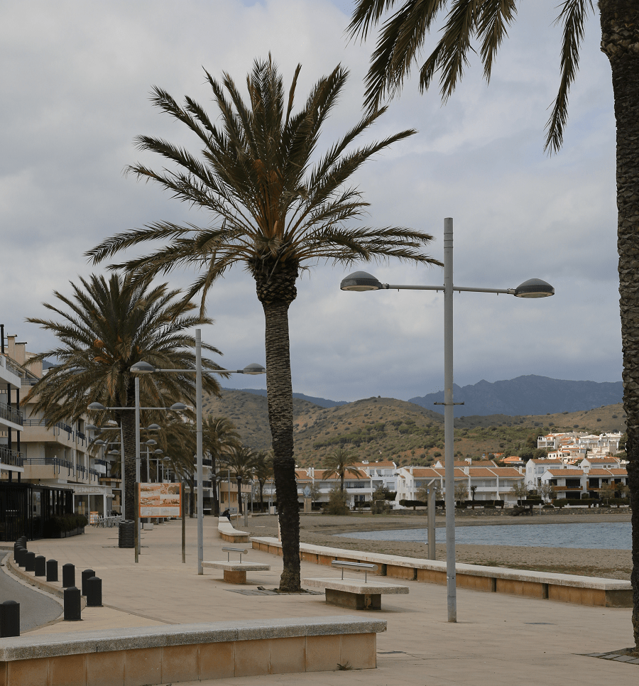
It’s a popular part of the Costa Brava of the Mediterranean resorts of Spain.
In the eighteenth century, the city’s economy experienced great growth thanks to the production and export of wine and olive oil.
In the middle of the century, the parish church of San Vicens was built and the surrounding area was urbanized.
The opening of the railway station on the line between Girona and Portbou on January 20, 1878, marked the beginning of the development of tourism, especially tourists from Figueres in the summer.
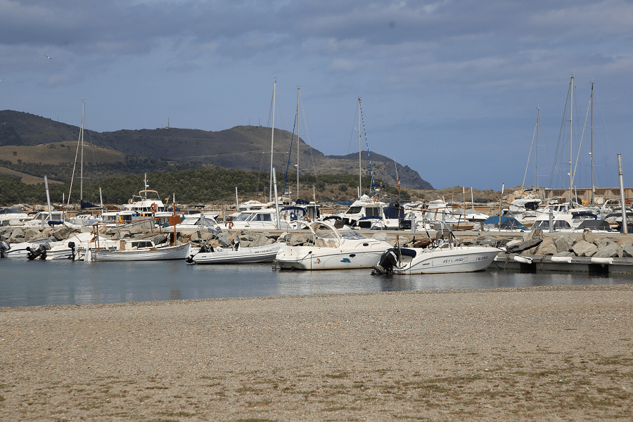
Before the advent of tourism in the 1960s, there were only a few fishing huts in the port. In 1991 it was named the city of the sardanas.
Main attractions
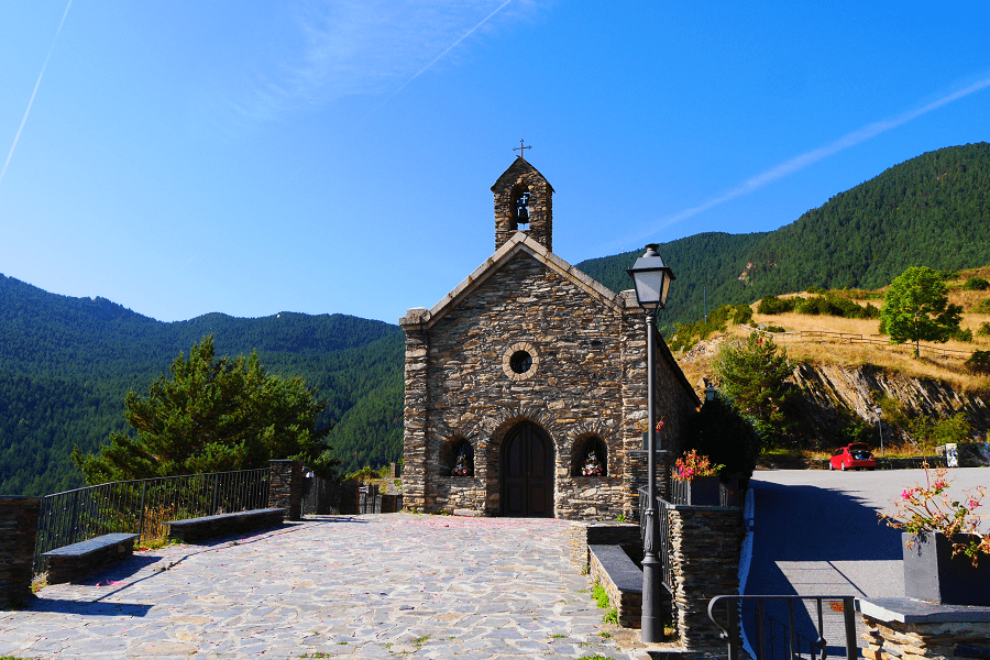
Church of San Vicenç (cat. Església de Sant Vicenç), 18th century, built on the remains of an old castle.
Sant Martí de Vallmala (cat. Sant Martí de Vallmala) was an old parish church located at the foot of the Puig d’Esquers hill, in the municipality of Llança. The first mention of the temple is documented in the letter of Luis el-Balba from 877, which confirms that the temple belongs to the monastery of Sant Esteve de Bagnoles. In 1019 it was consecrated by the Bishop of Elna Berenguer.
Sant Genís del Terrer (cat. Sant Genís del Terrer) or the Church of Terrer is a church in the municipality of Llança, included in the List of Architectural Heritage of Catalonia. It is located about two kilometers northeast of the town of Valleta and west of the town of Llança, on the plateau of the Col del Terrer ridge.
The Museum of Watercolors (cat. Museu de l’Aquarel·la – Fundació J. Martínez Lozano) is a museum located in Llança, which appeared in 1989 under the direction of the artist Josep Maria Martínez Lozano. The City Council, in gratitude for the donation of the artist’s works, created the Josep Martinez Watercolor Museum to capture the artist’s work and his name.
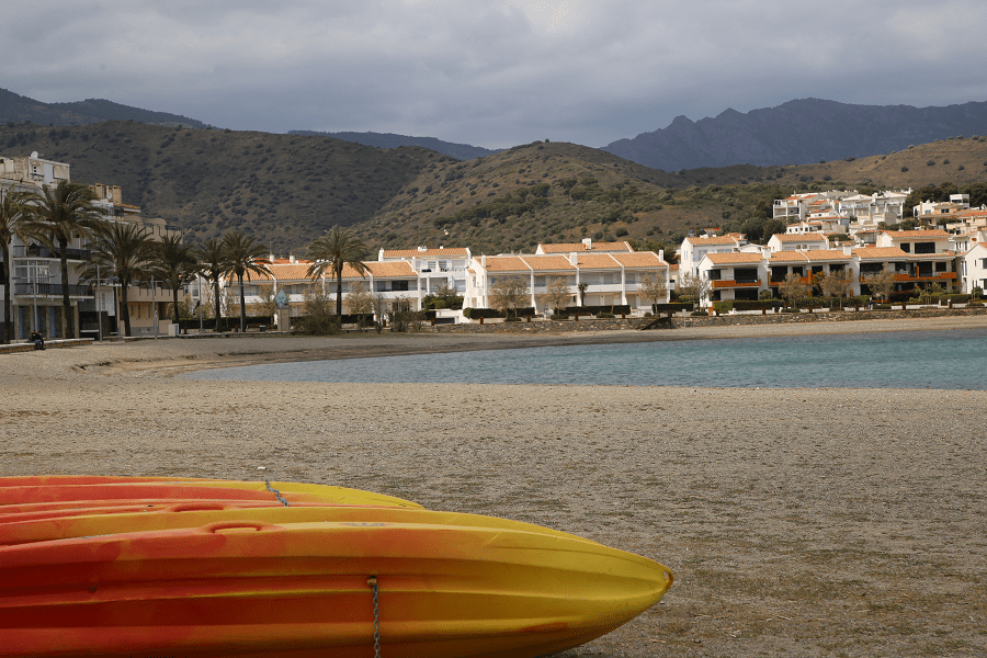
Beaches
Full list
Platja Petita del Futaner
Platja Gran del Futaner
Platja de Bramant
Platja de Canyelles
Platja del Cros
Platja Sota d’en Canals
Platja de Grifeu
Platja Sota del Parador
Platja de l’Alguer
Platja Sant Jordi
Platja de l’Argilera
Platja del Port
Platja la Gola
Platja de les Carboneres
Platja de l’Embarril
Platja del Morer
Platja de les Titarolites
Platja de la Farella
Platja de la Farella del Mig
Platja de les Tonyines
Platja del Motlló
Platja del Cau del Llop
How to get there?
By car:
From Figueres 22 minutes (22.3 km) via N-260
From Barcelona 1 hr 42 min (157 km) via AP-7
From Madrid 7 hr 29 min (762 km) via A-2 and AP-2
Main information
Area: 28 sq. km
Coordinates: 42 ° 22 ′ 00 ″ N, 3 ° 09 ′ 09 ″ E
Population: 4,700
Languages: Spanish, Catalan
Currency: Euro
Visa: Schengen
Time: Central European UTC +1
See here best sea and ocean resorts of France and Spain (223 objects)