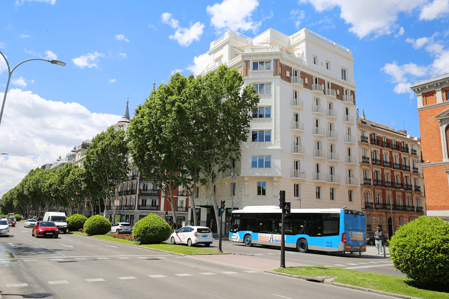

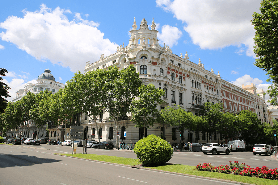
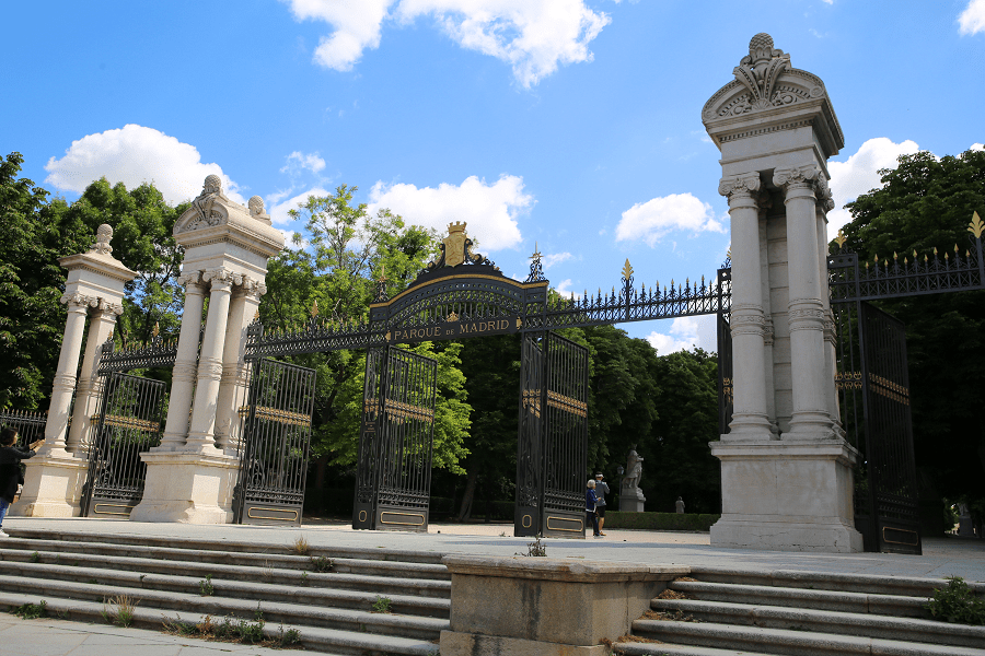
Alfonso XII Street is a street in Madrid, Community of Madrid, Spain, located between the Plaza de la Independencia and the Paseo de la Infanta Isabel. It is the street that borders the Retiro Park by means of a fence, allowing access through four entrances: the Puerta del Ángel Caído, the Puerta de Murillo, the Puerta de Felipe IV and the Puerta de España. Close to the promenade, it leads to the Cuesta de Moyano.

When the street was levelled in 1869 on land in the Retiro it was named Granada. Between 1905 and 1918 the Jerónimos neighbourhood was urbanistically laid out, bordered to the north by Calle Alfonso XII and to the south by Paseo del Prado. The Royal Observatory of Madrid was built in 1845 on the old hill of San Blas. In 1878 the street was renamed after King Alfonso XII (1857-1885).
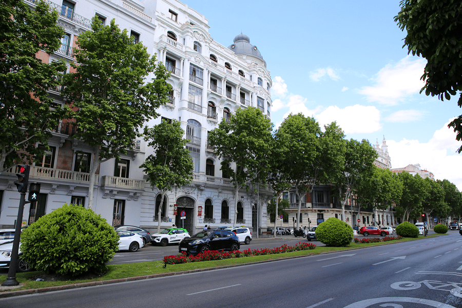
In 1931 it was named Alcalá Zamora, in memory of the lawyer and politician Niceto Alcalá-Zamora (1877-1949), president of the Second Republic. In 1936 it was called Reforma Agraria and in 1941, after the post-war period, it was renamed after Alfonso XII. The Horcher restaurant was opened by the German Otto Horcher in 1943 at number 6 on the street. At number 68 on the street is the National Museum of Anthropology, whose promoter was the Segovian doctor Pedro González Velasco. Between 1905 and 1918 the Jerónimos neighborhood was urbanistically configured, limited to the north by Alfonso XII Street and to the south by Paseo del Prado.
Madrid: full guide
- Administrative structure
- Architecture
- Churches and Cathedrals
- Entertainment
- Museums
- Parks and gardens
- Restaurants
- Shopping and markets
- Squares
- Streets
- Transport
See here Pyrenees travel guide
See here France travel guide
See here Spain travel guide