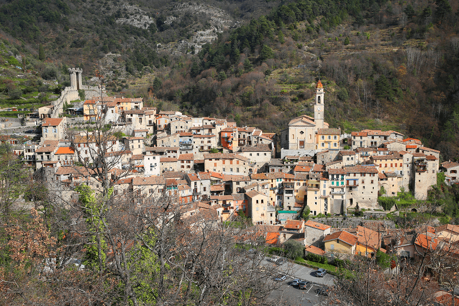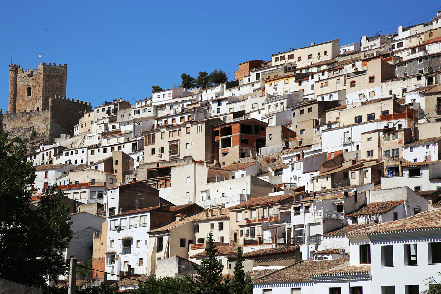
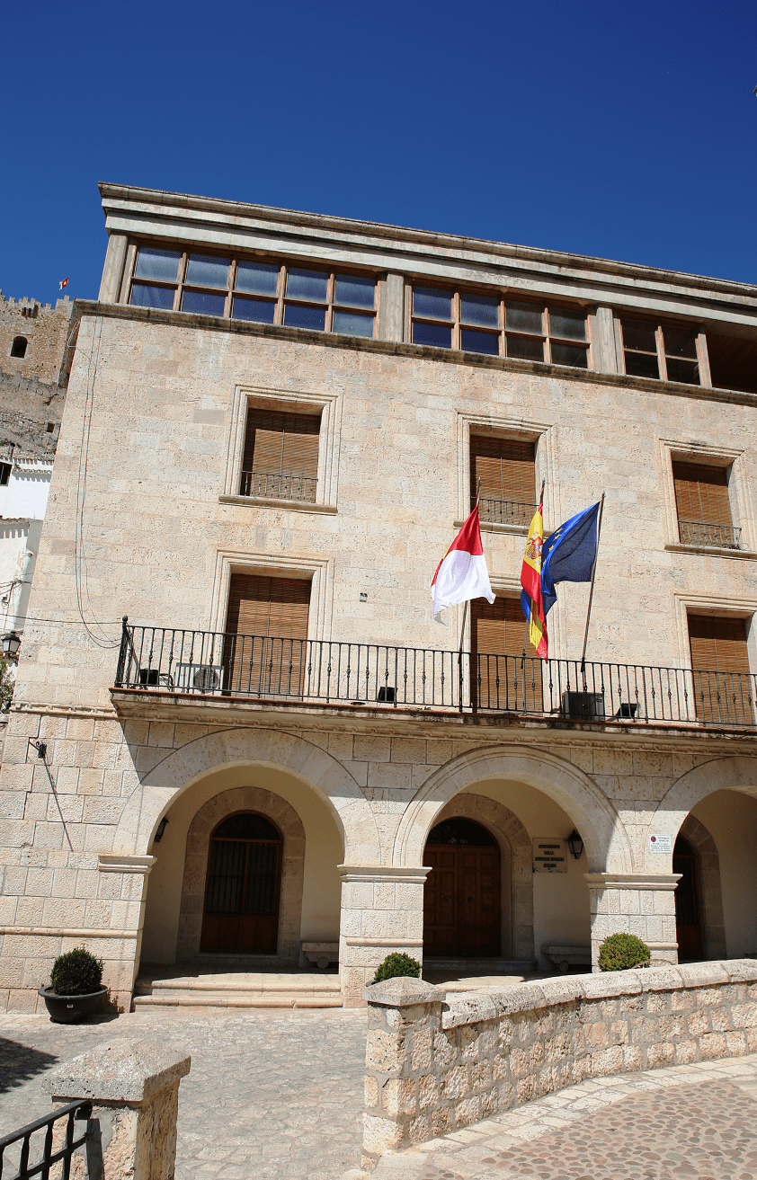
Alcalá del Júcar is a municipality located southeast of the Iberian Peninsula (Spain), in the province of Albacete, within the autonomous community of Castilla-La Mancha.
The town, located 64 km from the provincial capital, was declared a Historic-Artistic Complex in 1982. The districts of Casas del Cerro, Las Eras, La Gila, Tolosa and Zulema belong to the municipality.

Since 2014 Alcalá del Júcar has been a part of the network “The most beautiful villages in Spain“.

Main attractions
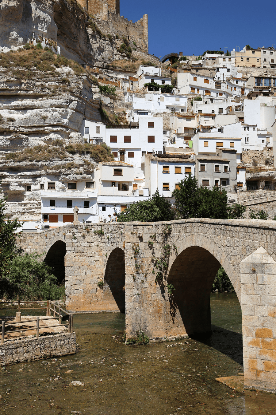
Castle
It is a fortress of Almohad origin, from the 12th and 13th centuries that was, like all the castles and lands in the area.
When Alfonso VIII conquered the area of the river Júcar around the year 1213, the castle passed into Christian hands. Later, it belonged to the Marquis of Villena.

Of islamic style. It is made up of a pentagonal tower and two circular turrets at right angles, with three heights inside. Outside there are still remains of the original wall.

It’s open for tourist, owned by the Alcalá del Júcar City Council and can be visited all year round.
It is declared a historical-artistic complex, under the protection of the generic declaration of the Decree of April 22, 1949 and Law 16/1985 on Spanish Historical Heritage.
Other monuments:
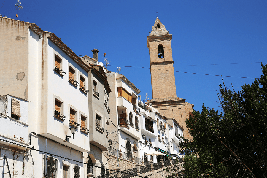
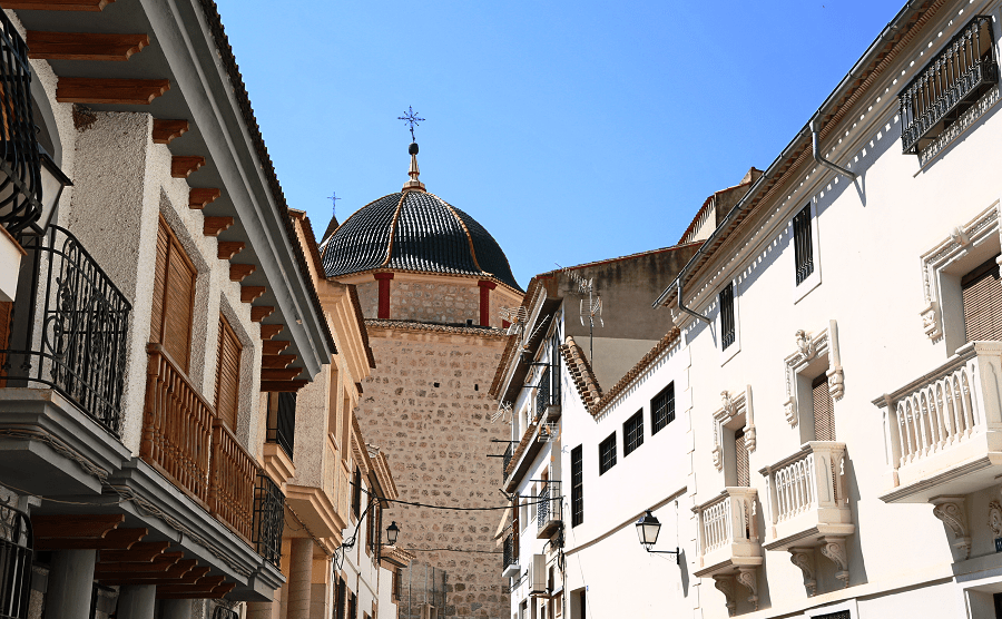
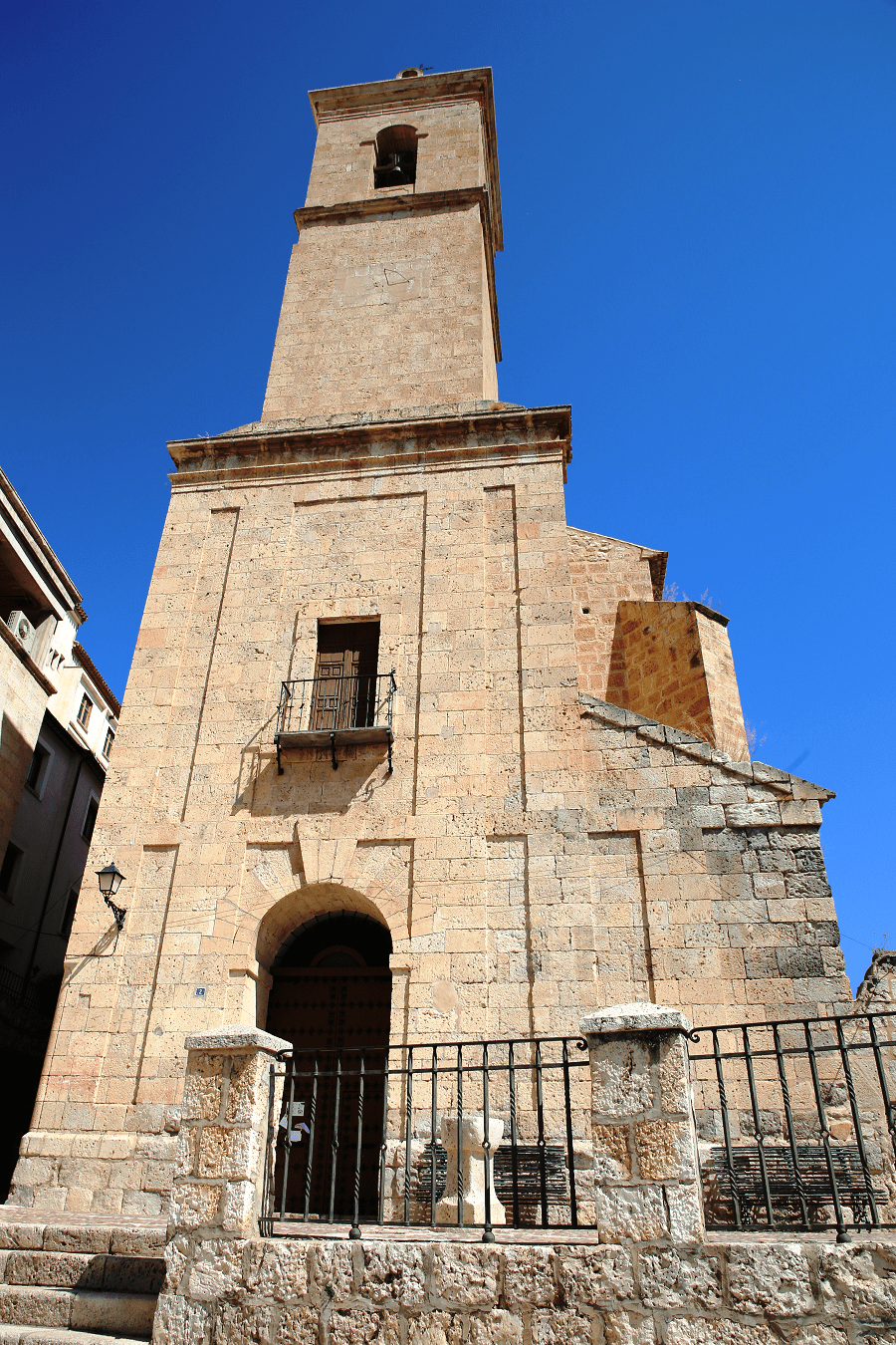
Parish church
Bullring, unique of its kind due to its irregular shape

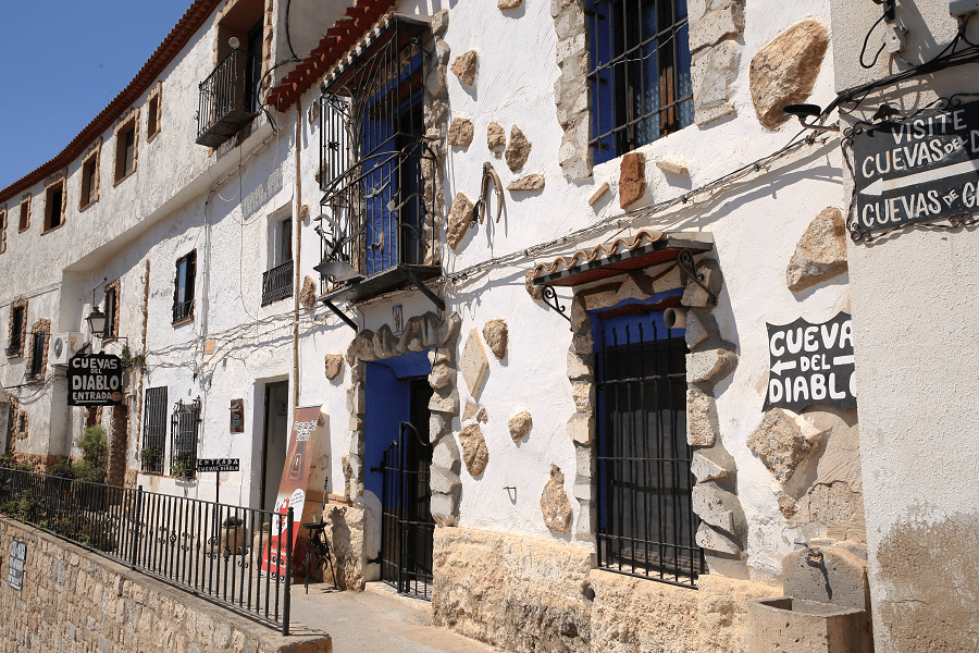
Masagó, Devil and Garadén Caves
Hermitage of San Lorenzo
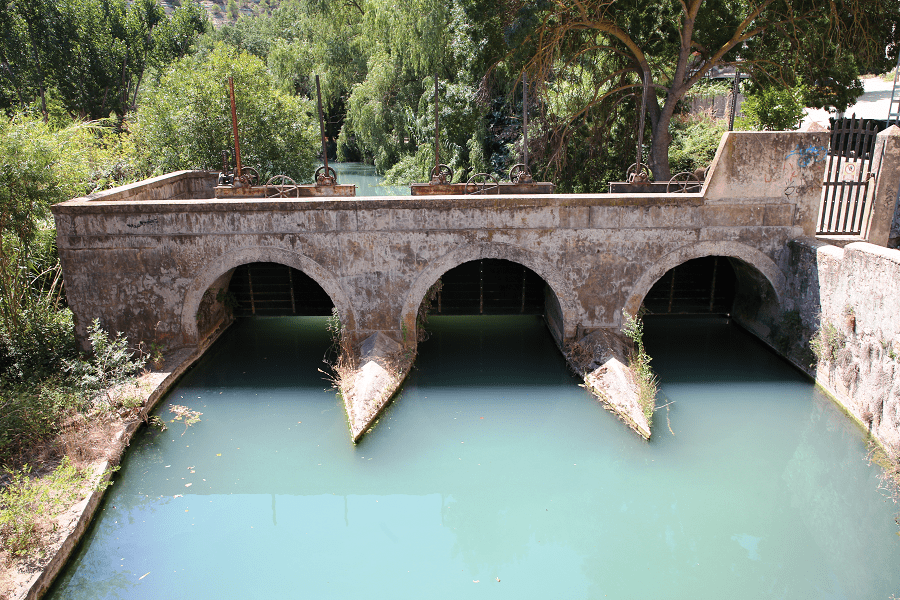
La Rambla Bridge
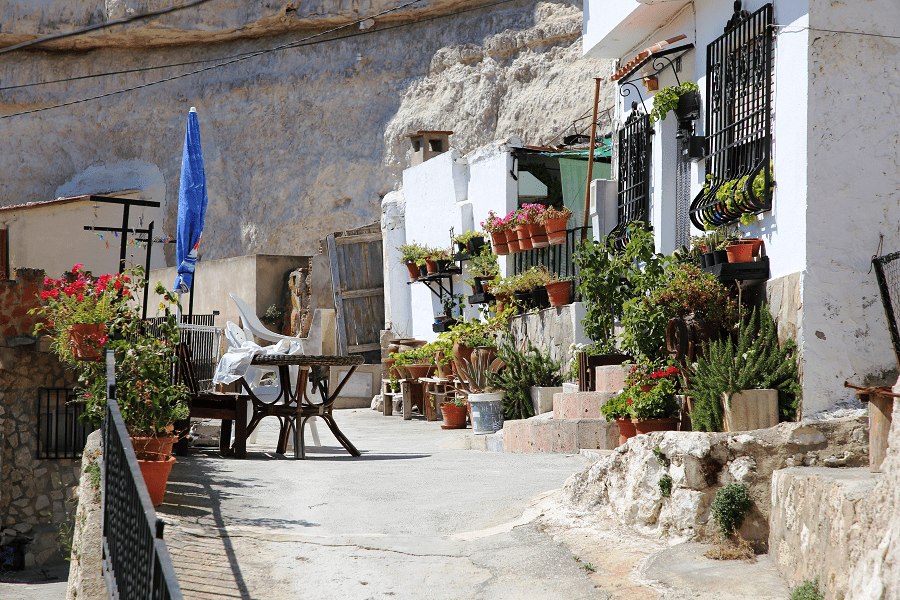
Cave houses
Natural landscapes:
Strider of the Wolf
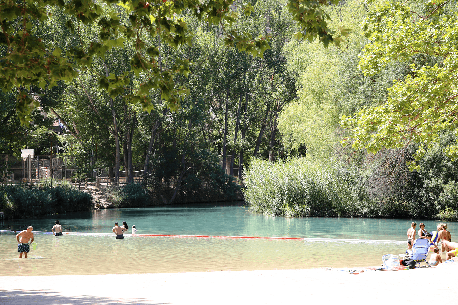
Hoz del Júcar Park
Molinar reservoir
Camino de Santiago de la Lana
At the end of the 20th century, the diffusion of the different Caminos de Santiago that run through the province of Albacete took on great importance, including the Ruta de la Lana.
This road connects the city of Alicante with Burgos, where it joins the French Way, and runs through the province of Albacete from Almansa to Villamalea, also passing through the municipalities of Bonete, Alpera, Alatoz, Alcalá del Júcar and Casas-Ibáñez.
How to get to?
From Albacete 56 min (64.8 km) via A-32
From Toledo 3 hr 2 min (298 km) via CM-42
From Madrid 3 hr 3 min (291 km) via A-3
Main information
Area: 146 sq. km (municipality)
Coordinates: 39°11′34″N 1°25′45″W
Population: 1 194
Languages: Spanish
Currency: Euro
Visa: Schengen
Time: Central European UTC +1