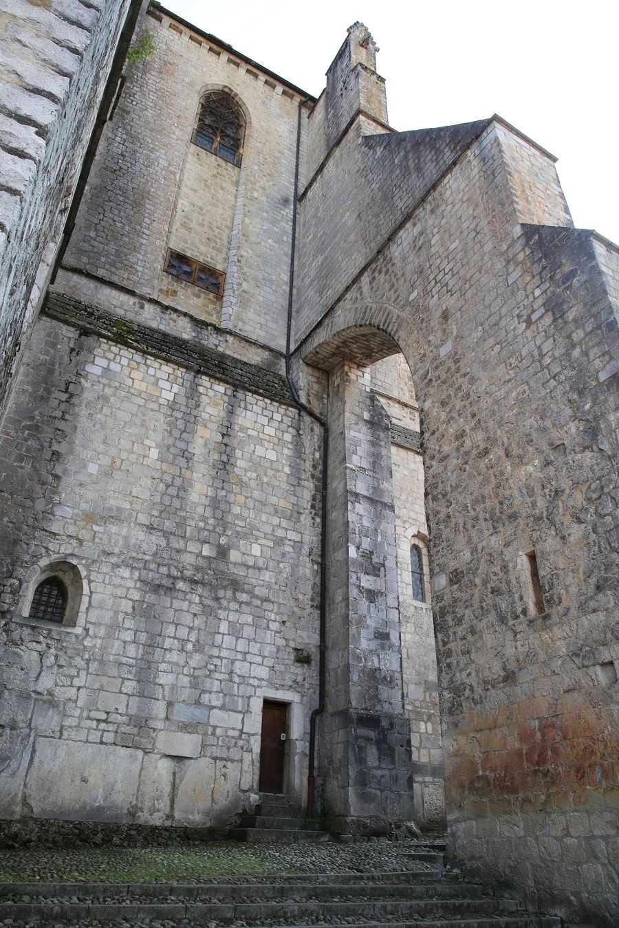

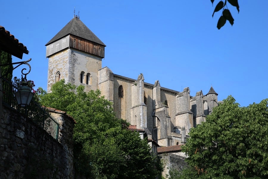
Saint-Bertrand-de-Comminges is a French commune located in the Pyrenees Mountains in the southwest of the Haute-Garonne department in the Occitanie region.
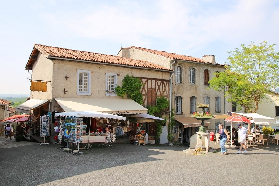
Historically and culturally, the commune is located in the Pays de Comminges, corresponding to the former County of Comminges, a district of the province of Gascony located in the current departments of Gers, Haute-Garonne, Hautes-Pyrénées, and Ariège. The commune boasts a remarkable natural heritage: a Natura 2000 site, a protected area, and six natural areas of ecological, faunal, and floristic interest.
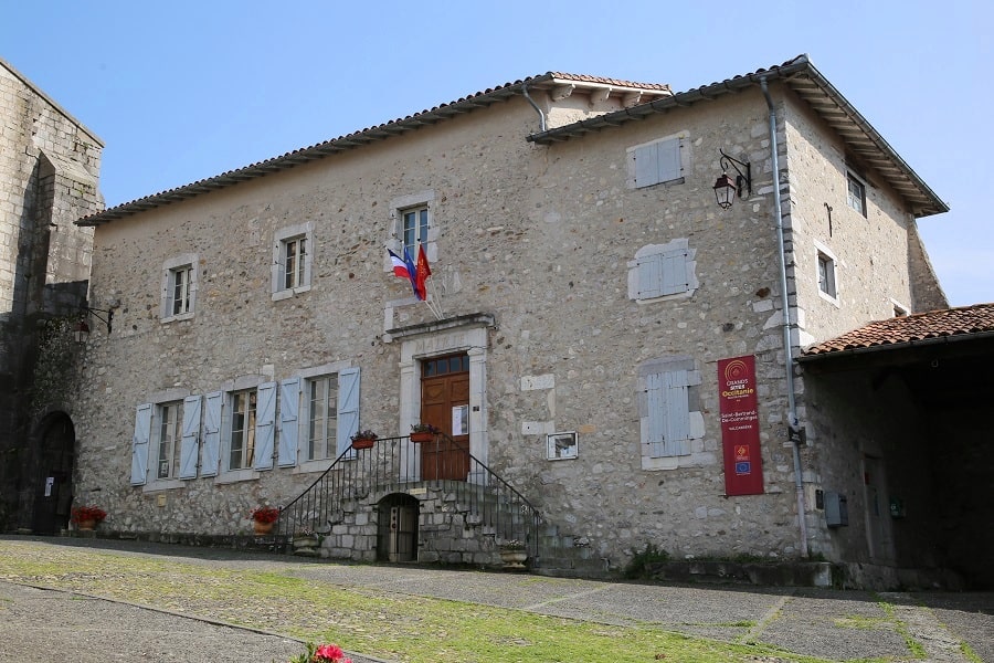
Saint-Bertrand-de-Comminges is a rural commune with 233 inhabitants in 2022, after peaking at 909 in 1841. It is part of the Saint-Gaudens catchment area. Its inhabitants are called Commingeois or Commingeoises.
The town is a member of the association Les Plus Beaux Villages de France.
The town’s architectural heritage includes seven buildings protected as historic monuments: the turret, the gates, the ancient ruins, the Gallo-Roman ramparts, the upper town wall, Notre-Dame Cathedral, and the Saint-Bertrand-de-Comminges military camp.
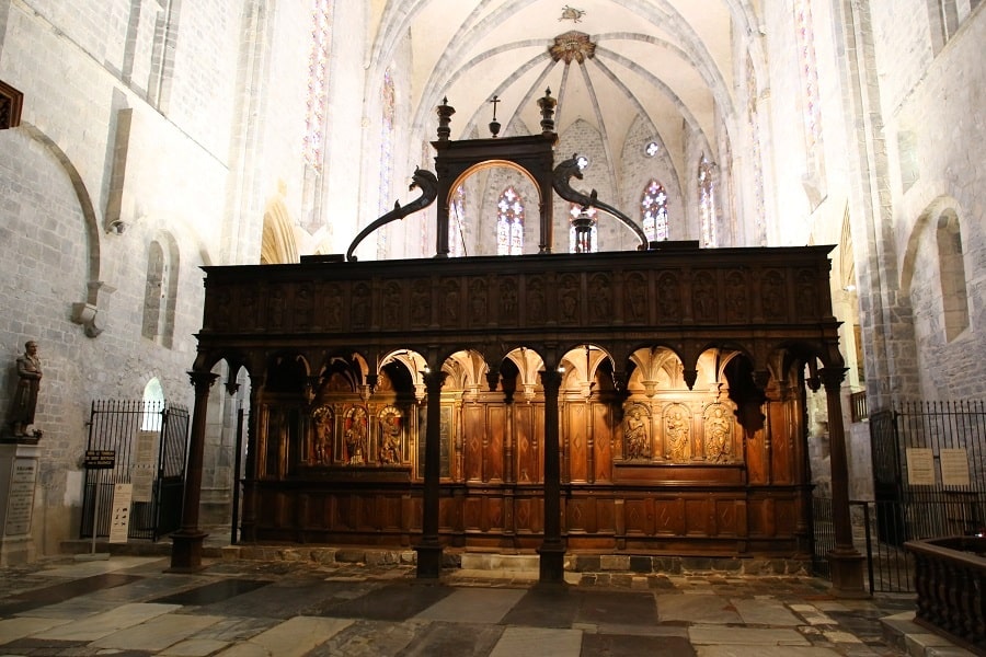
Cathédrale Notre-Dame de Saint-Bertrand-de-Comminges
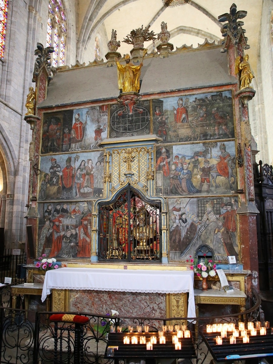
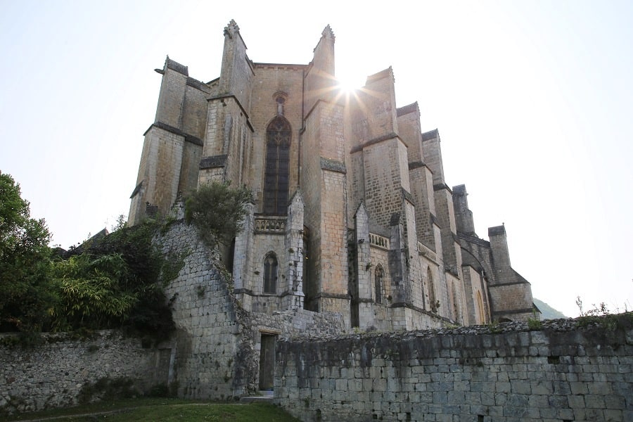
The Notre-Dame Cathedral of Saint-Bertrand-de-Comminges, also known as the Cathedral of Saint Mary, is a Catholic cathedral.
The cathedral was listed as a historical monument in 1840. It has also been a UNESCO World Heritage Site as part of the Route of Santiago de Compostela in France since 1998.
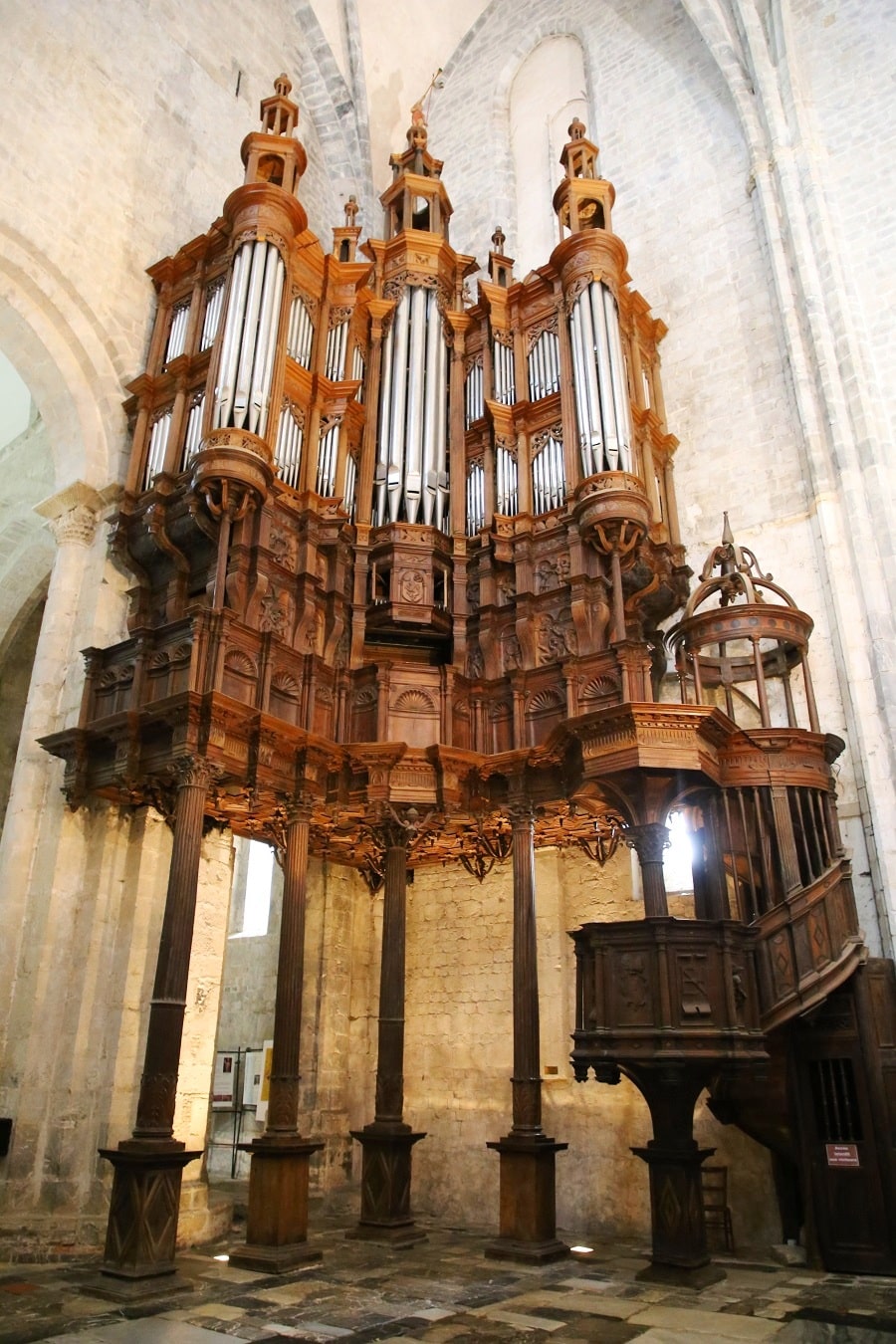
At an altitude of 515 meters, Saint-Bertrand-de-Comminges is in a position to see the Pic de Cagire, the Pic du Gar, Mont Sacon, and overlook the Garonne basin. More generally, the city commands access to Spain, Toulouse, and Tarbes, served by a road network derived from ancient Roman roads.
The cathedral was built around 1100. The foundations of the walls of the first four bays and the facade of the nave remain from the cathedral built by Bertrand de l’Isle. The cloister was rebuilt in the 12th and 13th centuries in a more lavish style.
Transport
The village is located 8km from the nearest train station, Montréjeau-Gourdan-Pol. There are no buses.
By car
From Bagnères-de-Luchon: 35 min (34 km) via D125 and N125
From Toulouse: 1 hr 15 min (115 km) via A64
From Andorra: 3 hr 18 min (221 km) via A64
From Barcelona: 4 hr 38 min (370 km) via A-2 and N-230
From Paris: 7 hr 58 min (786 km) via A20
Main information
Area: 11.17 km²
Coordinates: 43°01’37.1″N 0°34’15.3″E
Population: 233
Language: French
Currency: Euro (€)
Visa: Schengen
Time: Central-European UTC +1
See here Pyrenees travel guide
See here France travel guide
See here Spain travel guide
See here Andorra travel guide