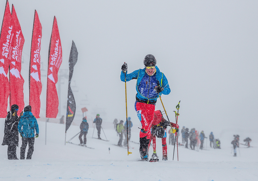
Trekking, skiing, snowshoeing, or mountain climbing requires training – depending on the purpose. Mountain tours are unsafe and require knowledge – both theoretical and practical. This is what my blog is about today.
Theoretical training includes:
Examining a map of the area, choosing a route;
The ability to “read” the placement of hazardous areas;
Possibility to have information in advance about where the nearest mountain shelters are located;
Study of the weather forecast and assessment of its possible changes, including the danger of avalanches.
It is also interesting to study the issue of vegetation and fauna in the mountains. A mountain hiker must be prepared. Coming across wild animals and dangerous plants can be fatal.
Mountains penetrate into the lower layers of the atmosphere, so they change the direction of the winds and affect the distribution of precipitation – this is a fact. With an increase in height for every 100m, the temperature drops by an average of 0.6 degrees. Vegetation and life in a mountain environment is a matter of adaptability.
Temperature directly affects the physiology and biology of plants. And it was the temperature that has allowed us to conditionally divide the mountain into “floors” – from the foot to the top. Their French names, which I got acquainted with during the presentation by the mountain guide and teacher from STAPS, Alain Place are étages collinéen, montagnard, subalpin, alpin et nival.
But what is the “first floor” of the mountain? This is the space that connects the plain with its foot. The maximum height of the “first floor” in the mountain ranges is up to 1,100m. Many crops, flowers and deciduous trees grow here. The average temperature is + 15°C. The vegetation period is from 8 to 9 months. On this “floor” it is possible to cultivate grapes, from which exclusive “mountain wines” can be produced. Walking here is pleasant and not very complex.
We rise to the “second floor”, the maximum height of which is 1,800m. Average temperature: from + 8°C to + 15°C. The vegetation period lasts from 6 to 7 months. Coniferous trees (fir, pine) and beech grow here. Many fir trees were brought here as the fir is not a native tree of the Pyrenees. Birch, mountain ash and green alder grow here too. It is at these heights that pastures are organized. Attention! Here you can easily come across a deer, boar or fox.
The third floor is an alpine one. It is located at an altitude of 2500 meters on the south side and 2300 meters on the north side. Average temperature: from + 5°C to + 8°C. The vegetation period lasts between 3 to 5 months. Spruce, pine, larch and green alder grow here. Beech disappears completely at this height. Pastures continue. Nevertheless, it is obvious that vegetation is becoming less and less on this “floor”. Small shrubs appear like rhododendron, juniper, bearberry, heather. The soil here is poorer and cannot ensure the proper preservation of minerals. There are large meadows, often created by man for summer grazing.
The fourth “floor” is alpine. Height – from 2100 to 3000 meters. The average temperature is from + 2°C to + 3°C. Snow is possible at any time of the year. The growing season lasts between 1 to 2 months. There are few trees because it is too cold. There are grassy areas (alpine pastures, alpine lawn). Vegetation is rare.
The limits of the alpine “floor” are difficult to determine … One of the most used standards is based on the average monthly temperatures of the hottest month of the year. This is approximately + 11°C in July in the northern hemisphere.
The alpine zone is mainly represented in the northern hemisphere from 30° to 70° north latitude. In tropical and equatorial zones there is an alpine zone with a very original flora (East Africa and the Northern Andes). In the southern hemisphere, the alpine zone occupies more limited areas (mainly Andes / Patagonia, South Africa and New Zealand).
The upper limit of the alpine zone is all that is located at an altitude of 2000 meters. The climate here is such that the growth of trees and shrubs is no longer possible. The boundary between the subalpine and alpine stages is called “la zone de combat”. The height of this zone is influenced by many parameters: breadth, continentality (the boundaries of the zone are displaced between the outer and inner Alps) and climate change over the past few thousand years. In addition, human actions have displaced subalpine forests in favor of alpine pastures.
The climatic limitations of the alpine zone are especially strong. The combined effects of intense cold, freeze-thaw, slope mobility, strong winds and uneven snow cover result in vegetation fragmentation. The vegetation here is called “mosaic”.
The advantages of snow, as it is known, is that it effectively protects against the effects of cold (especially in the off-season), providing an aquatic and mineral diet (nitrogen) during thawing and during the resumption of vegetative activity. However, there are drawbacks: the persistence of snow cover reduces the length of the growing season and its pressure limits growth possibilities.
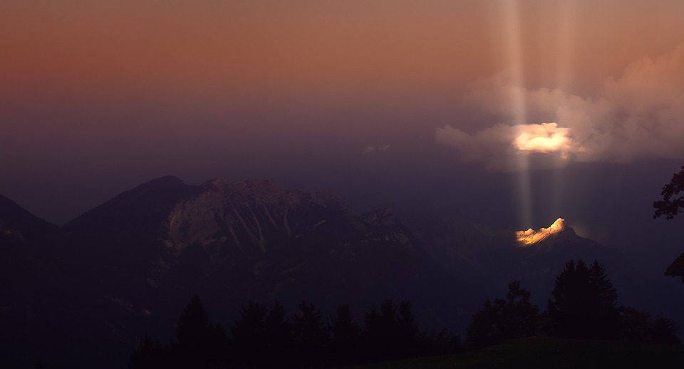
The last “floor” – the so-called nival, is at more than 3000 meters. The average temperature is about 0°C. There is a zone of glaciers, rocks and very little vegetation. It differs depending on the slopes. The northern slope is colder and wetter because it is always in the shade. The southern slope is warmer and sunny.
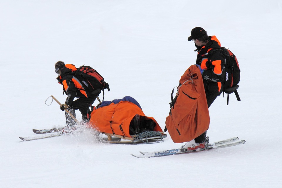
Only real adventurers reach these heights. To climb, and most importantly – then go down from this height, requires a high level of training.
I will tell you about the practical knowledge needed by a mountain tourist in the next blog.