Alain Place was a mountain rescue policeman in France and has been living in the Mont Blanc Massif for 15 years. Now, he teaches courses at STAPS and he works as a mountain guide to accompany people of all levels during expeditions and summits. He spoke with all-andorra.com about the best spots in France for hiking:
“To understand how mountain tourism works in France, you need to know the geography of the main mountain ranges.
As you know, the Pyrenees cross part of France along the border with Spain. There are also the Northern Alps, the Southern Alps and the Massif Central – this is a very accessible and not too high middle mountain area (1800 m max). And it is a volcanic area with very atypical landscapes (the volcanoes are dormant so there is no risk).
The most frequented massifs are those of the Alps and especially the Northern Alps, surrounded by four regions: Haute-Savoie, Savoy, Isère and Hautes-Alpes. These areas attract the most tourists. Here, you can practice mountaineering (you don’t necessarily need a high level), hiking, skiing in winter etc. One of the most-visited examples is the Chamonix Valley in the Mont Blanc Massif, which attracts huge numbers of people thanks to its glaciers and high altitudes.
The tourist population of this valley is changing with the appearance of visitors of new nationalities such as Russians, the Chinese, and Saudi Arabians.
The Pyrenees have a different mountainous terrain: here there are many lakes, a lower average altitude, and less developed tourist infrastructures. The landscapes are not the same as in the Alps.
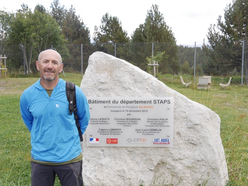
The region of the central massif (Auvergne, Puy-de-Dome, Clermont-Ferrand) is in the center of France. It is a very old massif and good for hiking, mountain biking etc. Accessibility is very easy. It is about 500 km from Font-Romeu (follow the A75 motorway, which goes directly to Clermont-Ferrand).
The Pyrenees massif is generally divided into three parts: the western part, the eastern part and the central part which attracts a lot of people. In the central part, there is the du Midi of Bigorre which is accessible by cable car (altitude 2877 m). At the top is an observatory so it’s very touristy. In this area, there are many activities.
Part of it is our area; it is not glacial. On the plateau of Cerdagne, there are some sites that are more frequented and have a wealth of tourism: Les Camporeils (near the ski resort of Formiguères), the Carlit (between Lake Bouillouses and Carlit Peak) and the Canigou (it is lower on the chain of the Pyrenees and closer to Perpignan). Canigou has recently found its side a little wilder since the ban on access by car to the last refuge before the summit, meaning that it is now necessary to walk nearly 5 hours to reach the peak.
The population of Spanish Catalan mountaineers is very important in Cerdanya – it is just 1:45 from Barcelona via the Cadi tunnel.
The massif of Puigmal is also interesting for the practice of hiking both in summer and winter (ski touring, snowshoeing) – the slope of the old ski resort presents less danger in terms of avalanches.
The lakeside area of Camporeils is a very spectacular and a very beautiful area. It also has a slight relief that facilitates access in winter (for practitioners who do not know much about snow and avalanche risks). Side Bouillouses, you can arrive at the dam by car or bus and stay at the hotel “Des Bones Horres”.
All these areas have all the characteristics of wild zones with the preservation of the spaces, the beauty of the landscapes … They have not been too modified by man. You can often find deer and other animals.
Accessibility is really an important aspect that impacts the attendance of a site. People do not necessarily want to leave for a long time, they often look for half-day outings or day trips. But if you want to find no one, you have to walk where people travel to the least, and these are generally further away (7-8 hours of walking): the bottom of the valley Planes, the valley of Orry, the valley of the Carança, the valley of the Grave, the bottom of the valley of Eyne (nature reserve) – these are very long valleys (almost 10 km) – you can meet a lot fewer people and are often alone.
Finally, to enjoy the solitude in the mountains, it is better to look for places that are not necessarily served by trails on the map; provided, of course, you know how to orient yourself “.