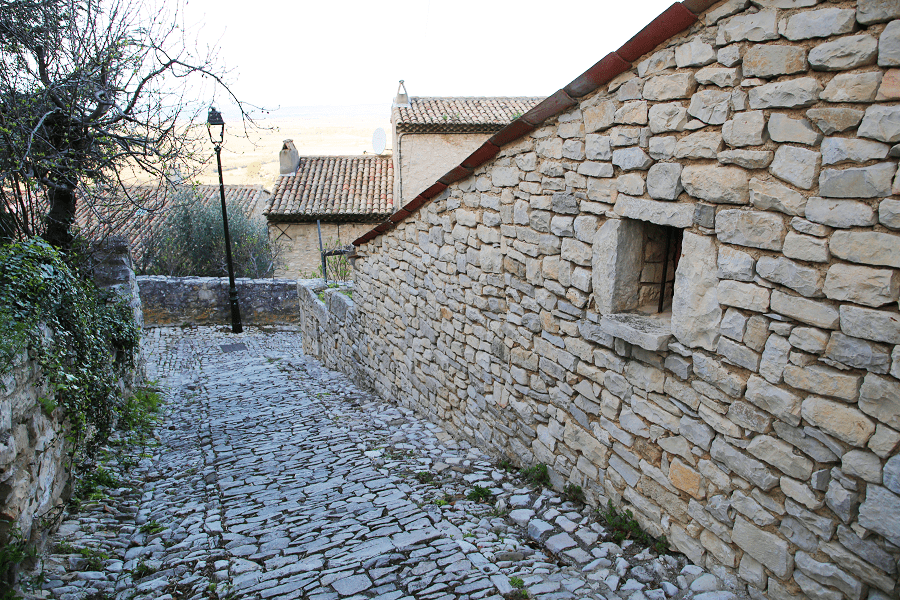

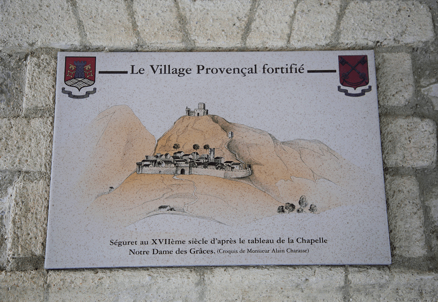
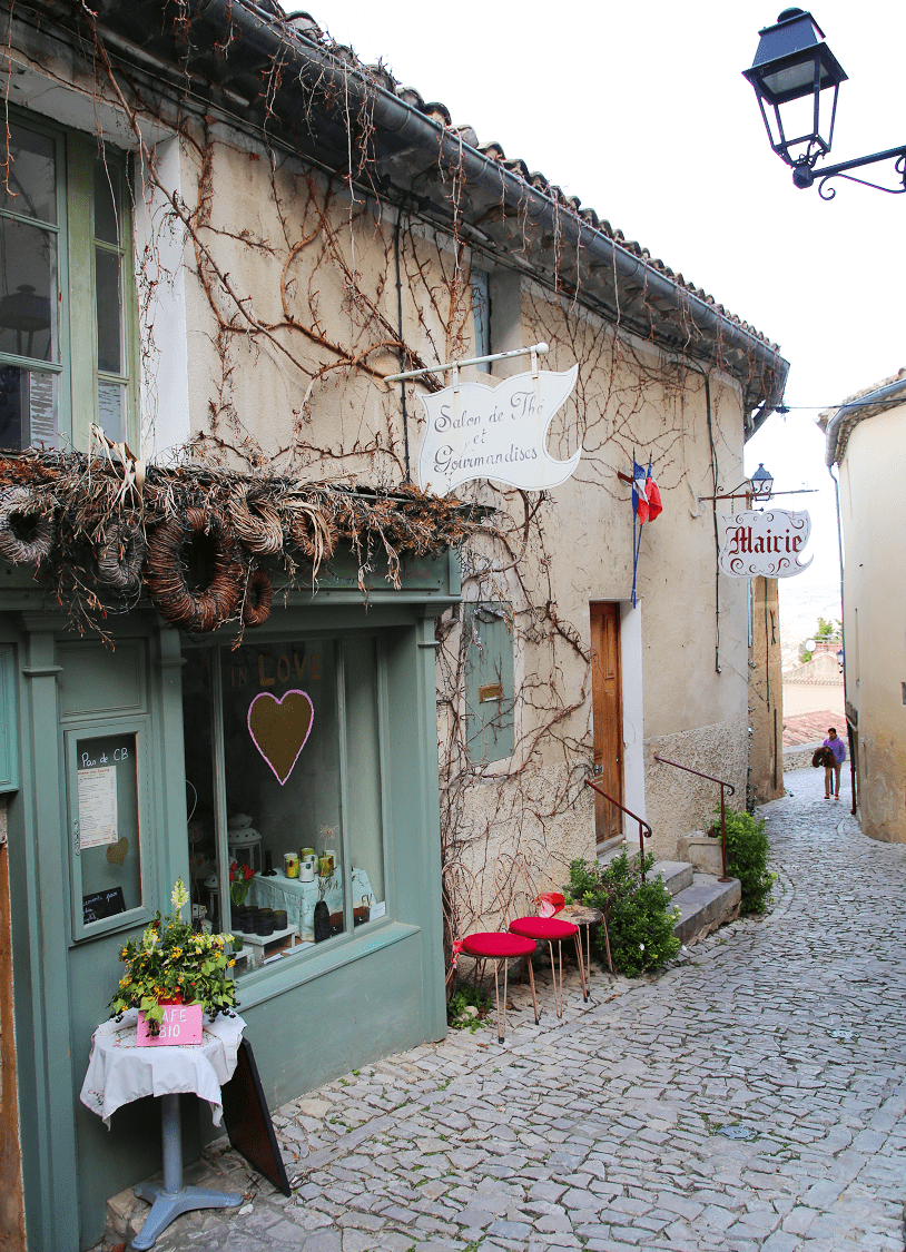
Séguret is a commune in the Vaucluse department in the Provence-Alpes-Côte d’Azur region in Southeastern France.
The village is a member of the association, The Most Beautiful Villages of France.
The town is located at the western end of the Dentelles de Montmirail range, the westernmost part of the Baronnies massif which constitutes the first advance of the Alps into the Rhône valley. It is a series of Tithonian (Jurassic) rock slabs resting on limestone soils. The west of the town up to the Ouvèze is essentially composed of an alluvial plain (Quaternary soils).
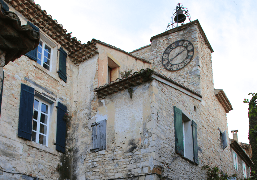
Tourism and main attractions
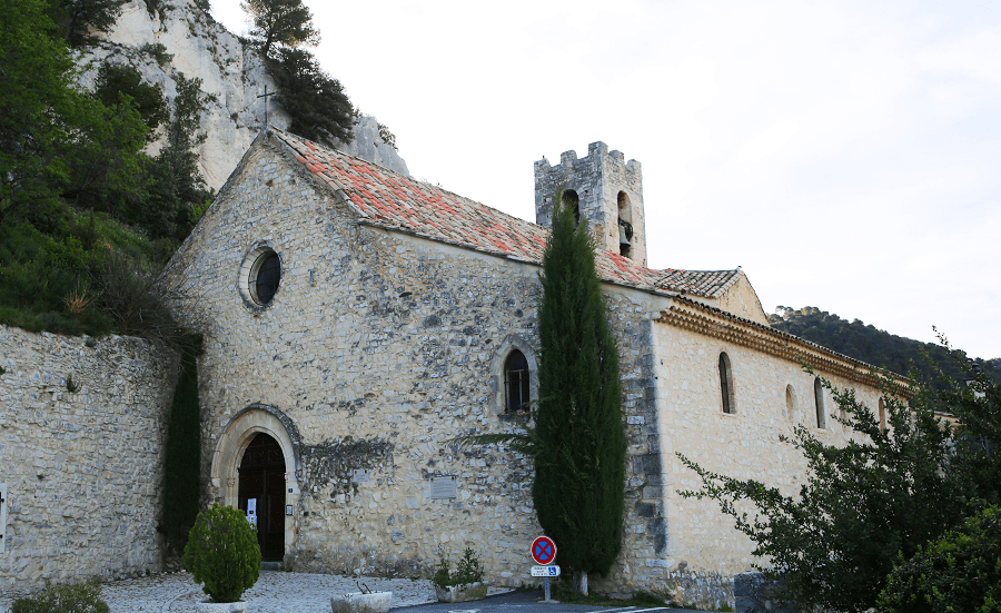
- Saint-Denis Church, 10th century
- Sainte-Thècle Chapel: A Roman stone is preserved there, bearing the inscription “Marti v(otum) s(oluit) l(ibens) m(erito) / Sex(tus) Eruci[us] / Maxu[m]u[ s]”
- Ruined feudal castle
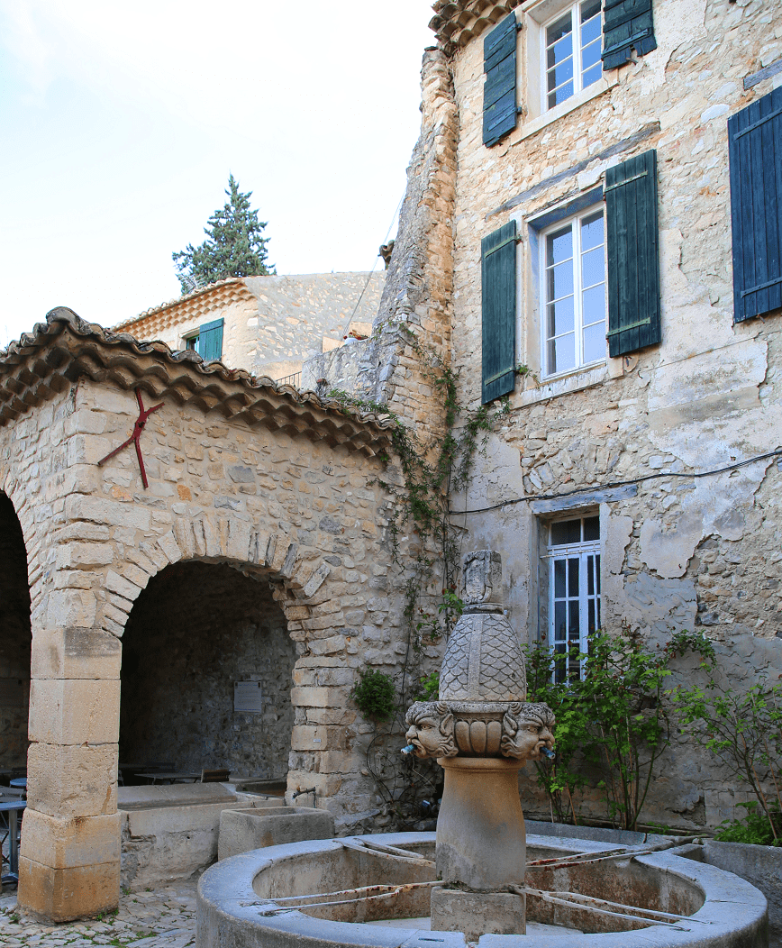
- Fountain and wash house
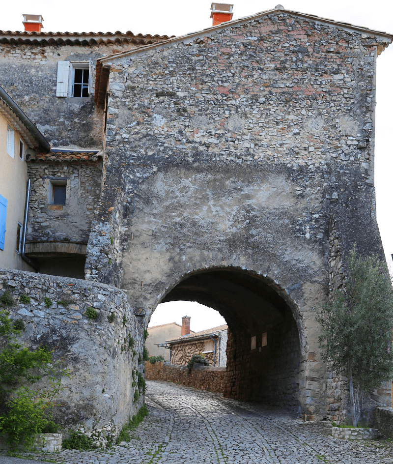
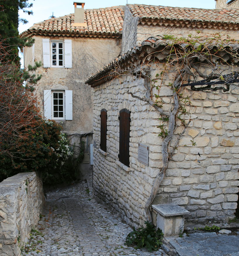
- Cobbled streets
- Fontaine des Mascarons, classified as a historic monument.
Shortest distances by car
From Paris: 6 hr 37 min (672 km) via A6 and A7
From Marseille: 1 hr 41 min (131 km) via A7
From Nice: 3 hr (290 km) via A8 and A7
From Toulouse: 3 hr 33 min (362 km) via A61 and A9
From Monaco: 3 hr 15 min (313 km) via A8
From Andorra: 5 hr 19 min (489 km) via A9
From Madrid: 10 hr (1,068 km) via A-2 and A9
From Moscow: 32 hr (3,182 km) via E30/M1
From Belgrade: 15 hr 45 min (1,595 km) via E70 and A4
From Istanbul: 25 hr (2,544 km) via A4
From Bern: 5 hr 10 min (515 km) via A1
Main information
Area: 21 km2
Population: 801
Coordinates: 44°12′22″N 5°01′25″E
Language: French
Currency: Euro
Visa: Schengen
Time: Central European UTC +1
See here France travel guide
See here Spain travel guide
See here Pyrenees travel guide
See here Andorra travel guide