
Sauveterre-de-Béarn (Sauvatèrra or Saubatèrre in Béarnese) is a French commune located in the Pyrénées-Atlantiques department, in the Nouvelle-Aquitaine region. Its inhabitants are called Sauveterriens.
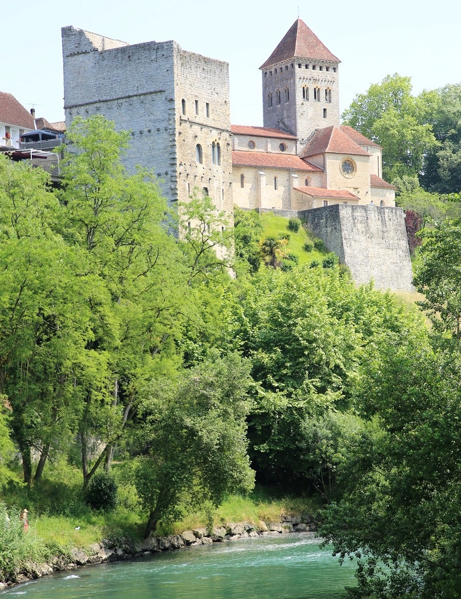
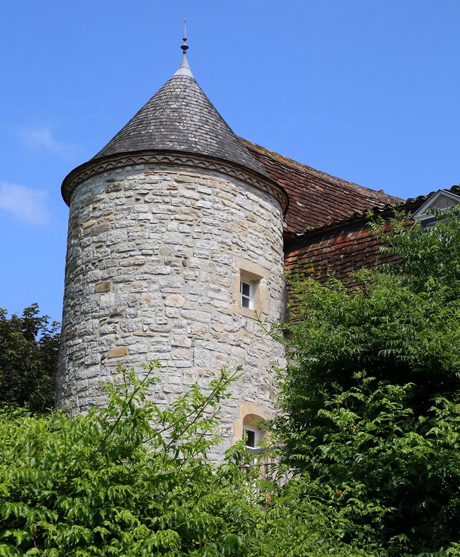
On the border with Béarn, this small medieval town built on a rocky escarpment benefits from its location at the crossroads of the Soule and Lower Navarre regions. Sauveterre boasts important medieval remains: Saint-André Church, Monréal Tower, the Legend Bridge, and remains of fortifications. The Gave d’Oloron River flows at the foot of the town.
The town is a stop on one of the main pilgrimage routes to Santiago de Compostela, the Via Lemovicensis (or Limousin Way).

Tourism
- The Pont de la Légende, along with the now-defunct bridges of Miéy and Réclusy, connected the right bank to the left bank of the Gave d’Oloron. In 1732, a violent 100-year flood swept away part of the Pont de la Légende. Only half of this fortified bridge now remains.
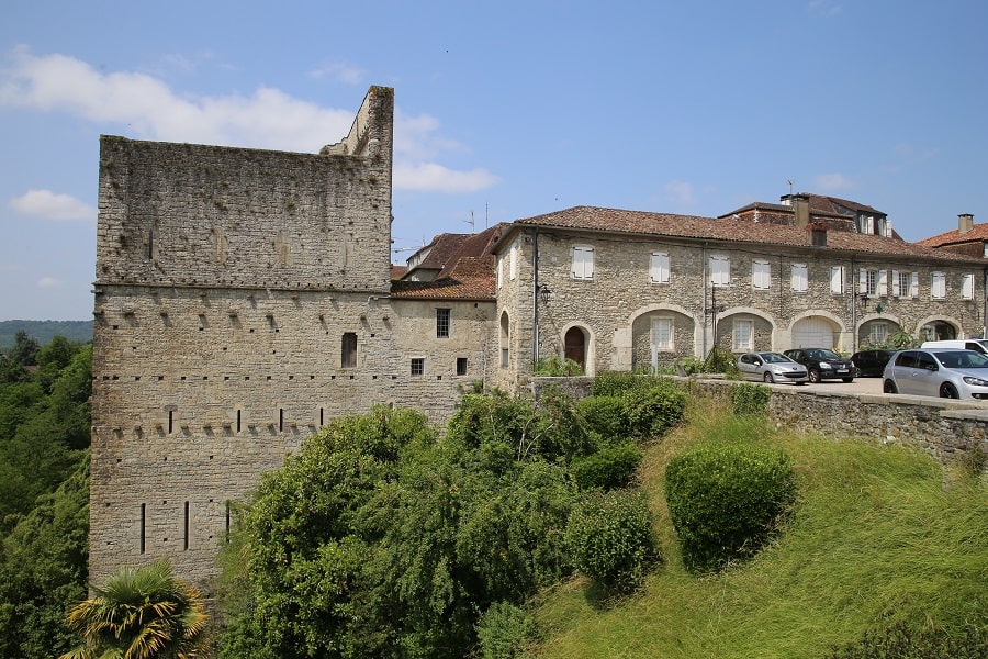
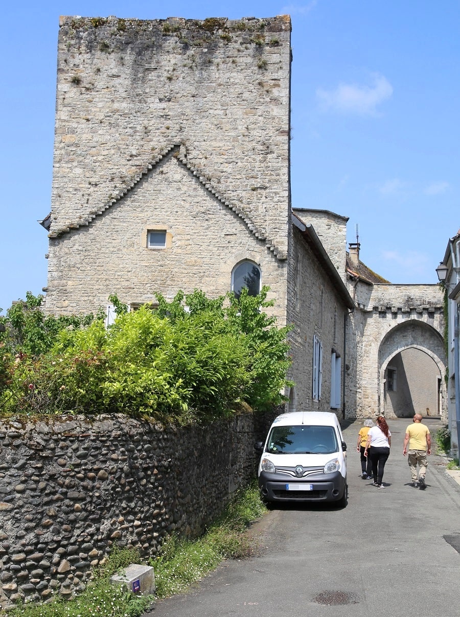
- The Monréal Tower was built during the 12th century. Standing 37 meters high, it was a defensive and residential tower. It served to monitor Spanish and Basque incursions. This tower has been listed as a historical monument since 1886. Today, it houses a model reconstructing the medieval town of Sauveterre between the 13th and 16th centuries.
- The Coulomme dovecote, or Montpribat House, dates from the 17th century. It is a notable’s house dating back to 1640.
- The fortified house is a former bastion whose purpose was to protect the town. Arrow slits were placed on its façade; they are now covered with plaster.
- The war memorial was created by the sculptor Ernest Gabard.
- The viscount’s castle was built by Gaston VII of Béarn (1225-1290) and remodeled by Gaston Fébus (1349-1391) in the 14th century.
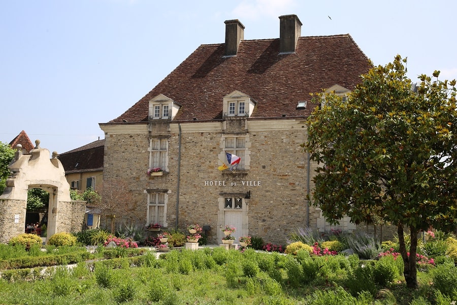
- The town hall, a former 16th-century residence, once owned by the “Maquis de Nays,” Counts of Salette.
- The Lester Gate (12th century).
- The Datter Gate.
- The ramparts (12th–19th centuries).
- The pilgrims’ hospital of Santiago de Compostela.
- Fort Tolose was built in 1580 during the Wars of Religion to reinforce the northern ramparts of Sauveterre. Its walls are 1.25 m thick and are pierced with loopholes.
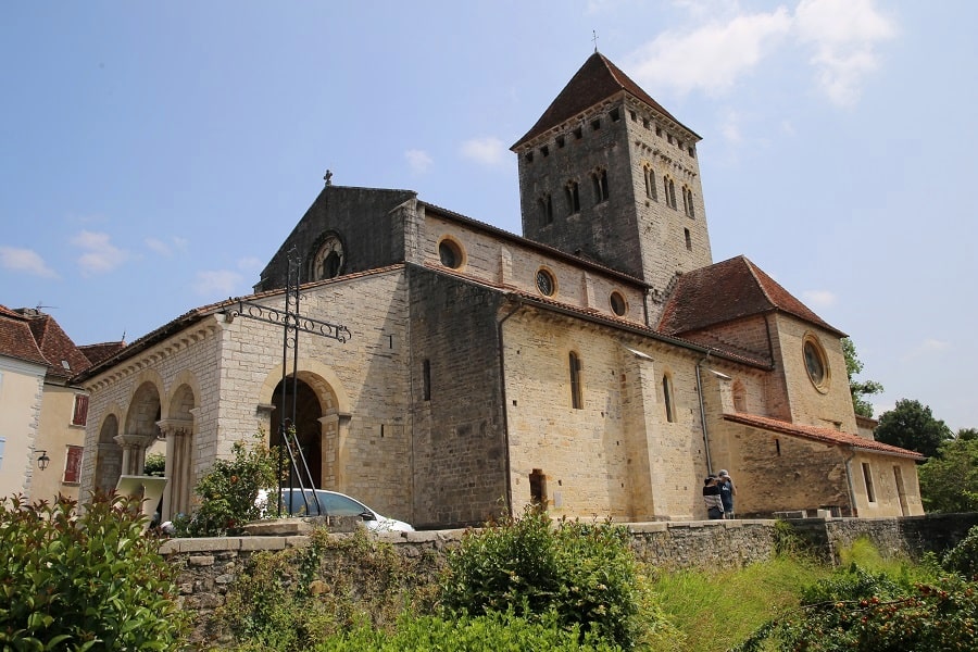
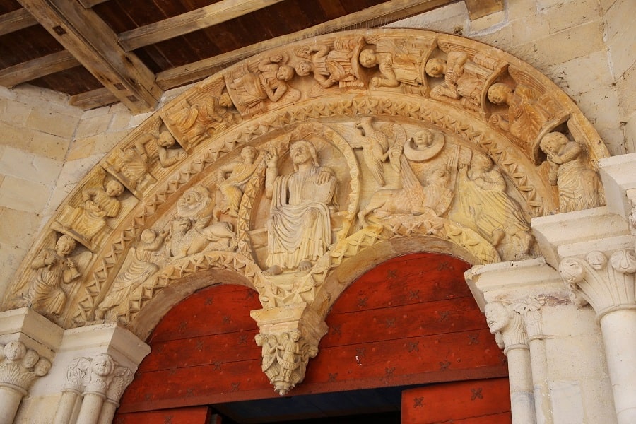
- The Church of Saint Andrew is a fortified Romanesque-Gothic church (12th–13th centuries).
- The Chapel of Saint Martin de Sunarthe is a Romanesque chapel built around 1250, part of a secular abbey.
Transport
The nearest SNCF train station is Puyoô, 17 km away. However, Orthez train station is 22 km from Sauveterre-de-Béarn, and Dax train station is 45 km away.
By plane: Pau and Biarritz airports are practically equidistant, approximately 60 km apart.
By car
From Pau: 55 min (74 km) via A64
From Bordeaux: 2 hr 23 min (210 km) via A63
From Andorra: 4 hr 34 min (368 km) via A64
From Barcelona: 5 hr 17 min (451 km) via A-2
From Paris: 8 hr 5 min (793 km) via A10
Main information
Area: 14.54 km²
Coordinates: 43°23’54.3″N 0°56’23.5″W
Population: 1361
Language: French
Currency: Euro (€)
Visa: Schengen
Time: Central-European UTC +1
See here Pyrenees travel guide
See here France travel guide
See here Spain travel guide
See here Andorra travel guide