Nérac is a commune in the South-West of France, located in the department of Lot-et-Garonne (Nouvelle-Aquitaine region). It is the capital of a district covering the south-west of the department on the Baïse river.
Main attractions
Civil buildings
- Roman ruins of Nérac
- Commandery of Argentens.
- Commandery of Puy Fort Éguille.
- Ruins of the old castle of Nazareth at the end of the Garenne park.
- Château de Nérac The Albret castle-museum.
- Conference House.
- Pavilion of the King’s Baths.
- Sully’s house. (Maximilien de Béthune (Duke of Sully))
- Presidents Hotel.
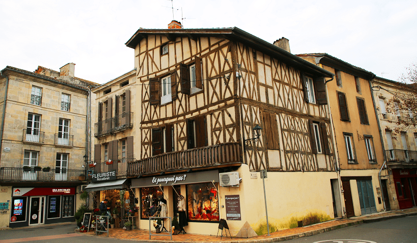
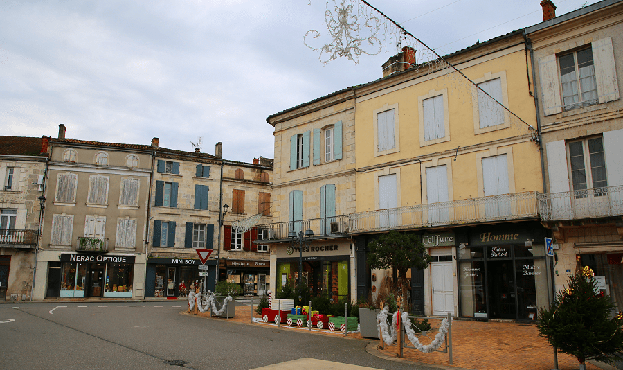
- Maison Fallières, 65 rue Gambetta.
- Maison Darlan, 59 rue Gambetta.
- 17th century hotel, 25 rue Puzoque.
- 16th century Hôtel de Brazalem, 22 rue Puzoque.
- Haussmann Center, 10 place Armand Fallières.
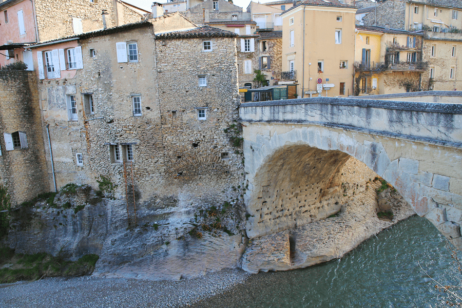
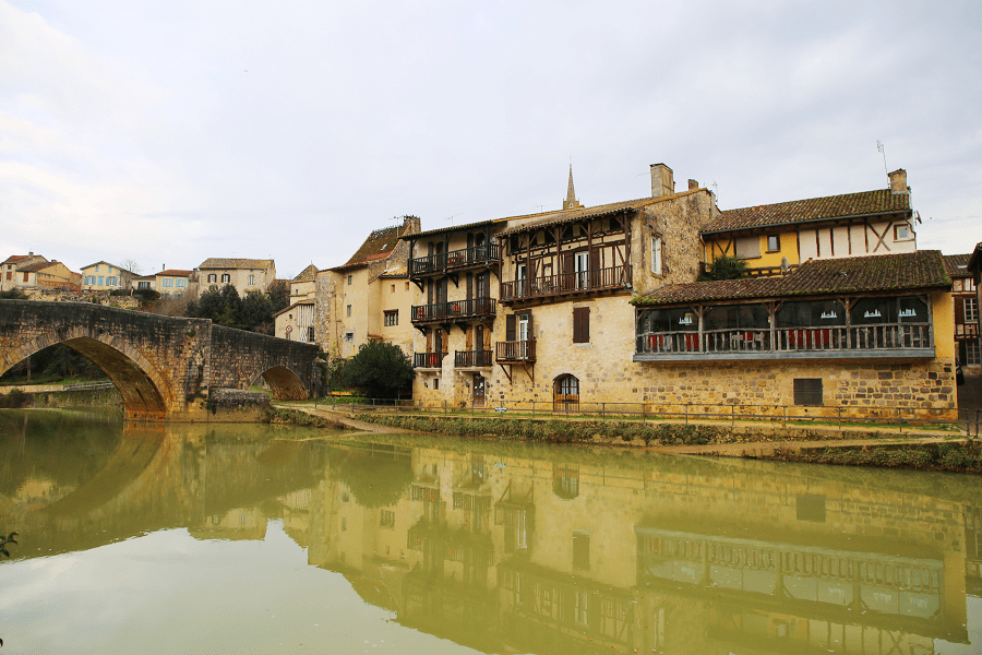
- Pont-Vieux.

- Pont Neuf.
- Quays of the Baïse.
- Promenade de la Garenne.
- Fleurette de Nérac, statue by Daniel Campagne (1896, Garenne de Nérac park).

- Sainte-Claire Monastery, founded in 1358. The community of Poor Clares was restored in 1935.
- Convent.
- Puzoque Street.
- Current town hall and the street of the old town hall.
- Château de Lagrange-Monrepos.
- Hordosse Castle.
- Douazan Castle.
- Bournac Castle.

- Seguinot Castle.
- Nérac flour mill, old mill, quay of Lusignan.
- Nazareth Castle.
Religious buildings
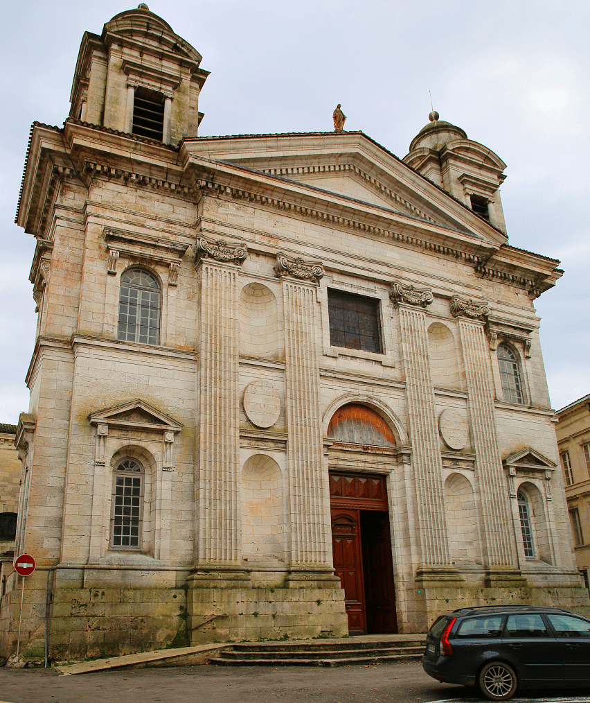
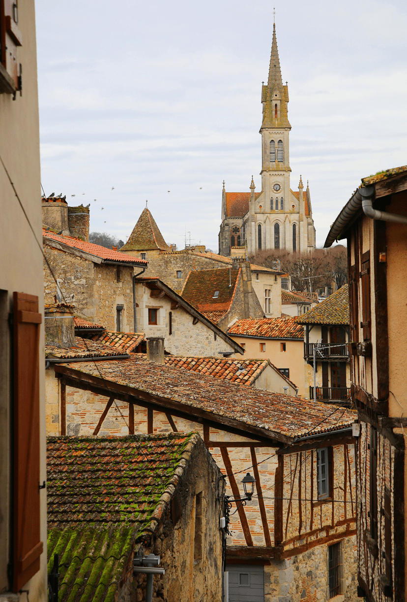
- Saint-Nicolas Church, Saint-Nicolas Square. The building was classified as a historic monument in 1988.
- Notre-Dame Church, Place Saint-Marc. It is listed in the General Inventory of Cultural Heritage.
- Notre-Dame Church of Bréchan.
- Church of Saint-Jean-Baptiste d’Asquets.
- Church of Saint-Jean-Baptiste du Puy Fort Éguille.
- Protestant temple of Nérac, Allée d’Albret, built in 1858 according to the plans of Victor Baltard.
- Kingdom Hall, rue Ferréol.

How to get to?
From Paris: 7 hr 25 min (704 km) via A10
From Bordeaux: 1 hr 40 min (128 km) via A62
From Andorra: 4 hr 38 min (296 km) via D930
From Barcelona: 5 hr 57 min (543 km) via A61
From Madrid: 7 hr 41 min (696 km) via A-1

Main information
Area: 62,68 km2
Population: 6 881
Coordinates: 44°08′10″N 0°20′25″E
Language: French
Currency: Euro
Visa: Schengen
Time: Central European UTC +1

See here Pyrenees travel guide
See here France travel guide
See here Spain travel guide