

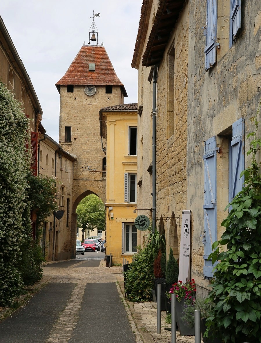
Saint-Macaire (Sent Macari in Occitan) is a commune in southwestern France, located in the Gironde department, in the Nouvelle-Aquitaine region.
The commune of Saint-Macaire is located on the right bank of the Garonne River. The commune’s territory is quite small, covering only 179 hectares. It consists mainly of vineyards (to the north and west of the town), fields, and woods (to the south, particularly near the river).
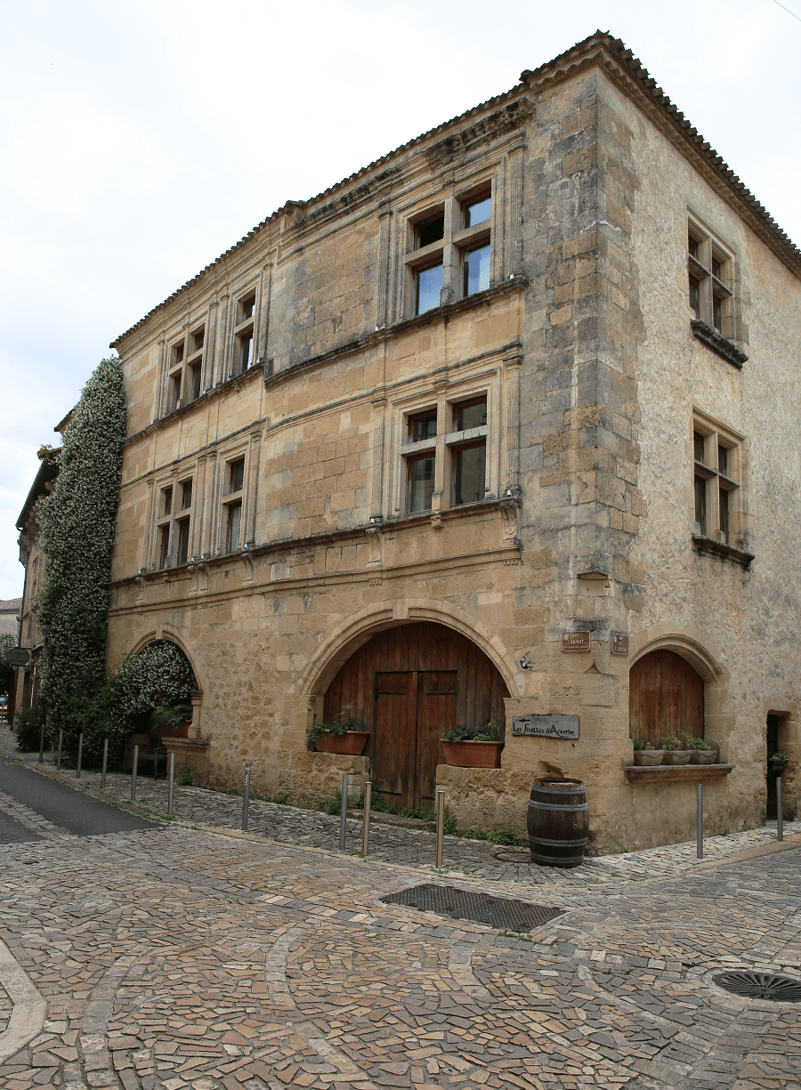
The town itself is built on a rocky promontory overlooking the alluvial plain by about thirty meters. Saint-Macaire is made up of two entities: the old town, to the south, and the new town, which developed mainly to the north of the old town. It forms an agglomeration with the neighboring communes of Saint-Maixant and Verdelais, the urban unit of Saint-Macaire.
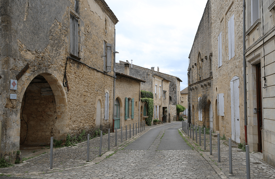
The old town is semi-hemispherical in shape, centered around the Church of Saint-Sauveur, the former priory, and the site of the former fortified castle (now destroyed). The herringbone-shaped layout of the district suggests a medieval origin. Surrounded by ramparts, the town is framed by two suburbs that emerged in the Middle Ages and are themselves protected by walls: the Thuron suburb and Rendesse.
Tourism
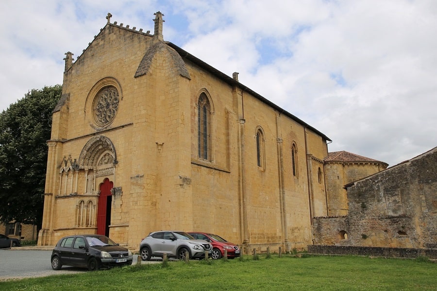
Saint-Sauveur-et-Saint-Martin Church (12th-17th centuries)
Parish church (and formerly priory), built of limestone. It was built on the site of the Saint-Laurent chapel erected by Paulin de Nole. Constructed of limestone, it boasts the unique feature of having a Romanesque nave and a Gothic roof. The church has a carved wooden portal and numerous elaborate wall paintings.
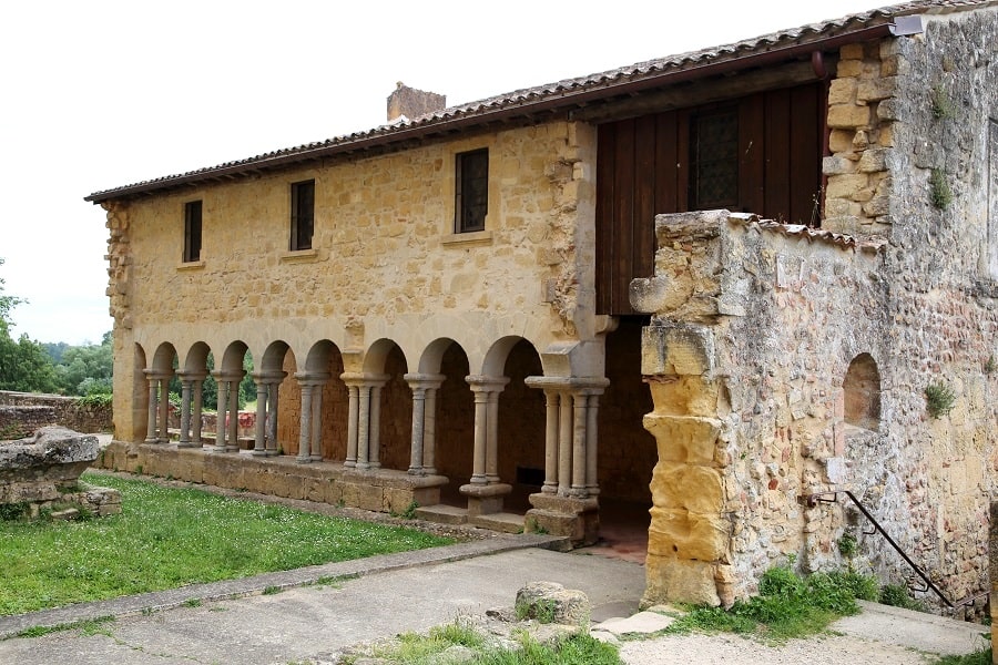
Saint-Sauveur Cloister (12th-15th centuries)
The main attraction of the settlement, the Benedictine priory, built of limestone, has partially disappeared: of the medieval building, only the cloister and the southern wing remain. Restored voluntarily in 1963, this wing housed the refectory, the upper cells, and the lower cellars.
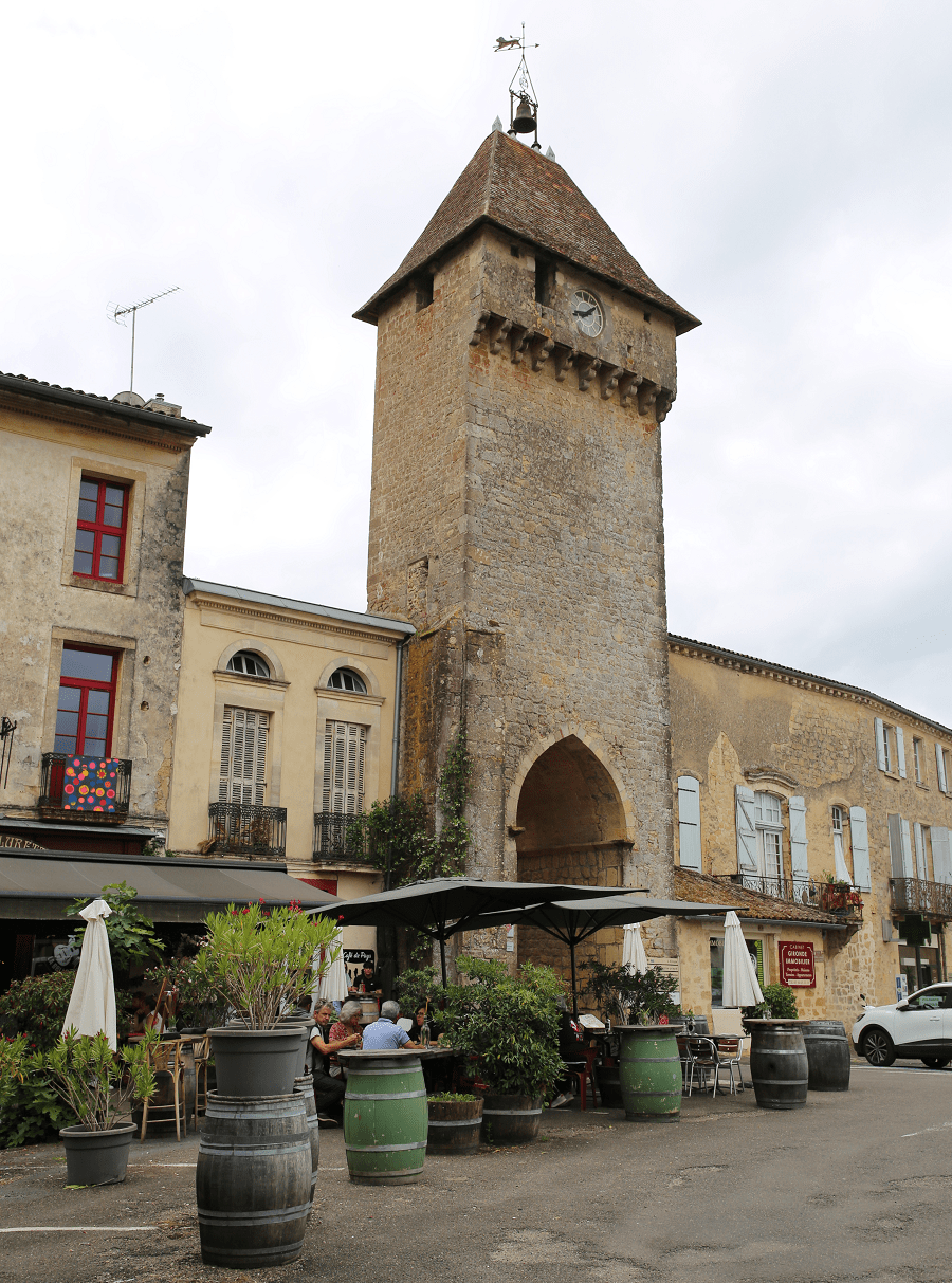
Benauge Gate (13th Century)
To the north stands the Benauge Gate, the main access gateway to the old town. Its name comes from the Count of Benauges, overlord of the town before it became a commune.
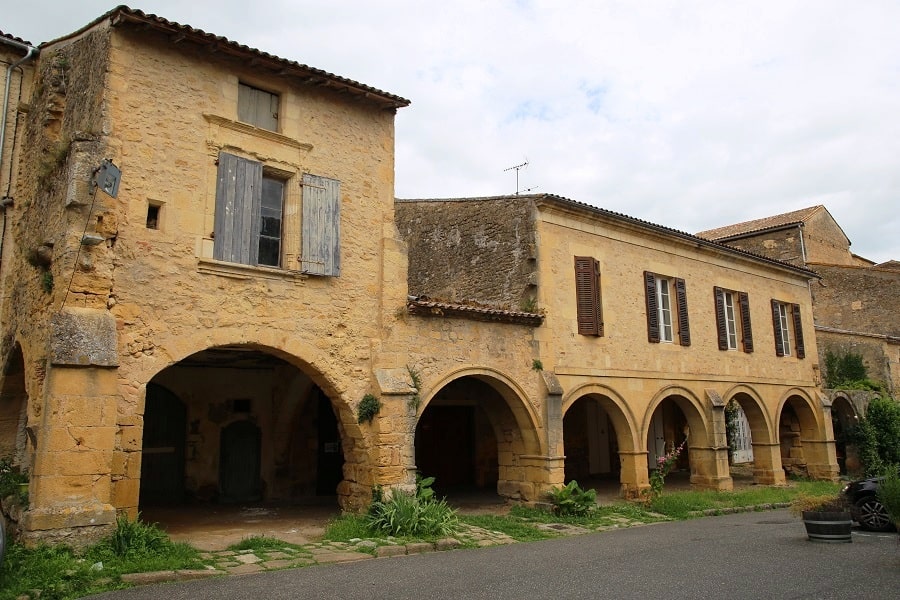
Mercadiou Square (13th and 14th Centuries)
The market square (mercadiou in Gascon) is the main secular hub of the medieval town. Trapezoidal in shape, spanning 1,500 m², it is framed by twin arcades opening at the foot of the houses onto veritable covered streets.
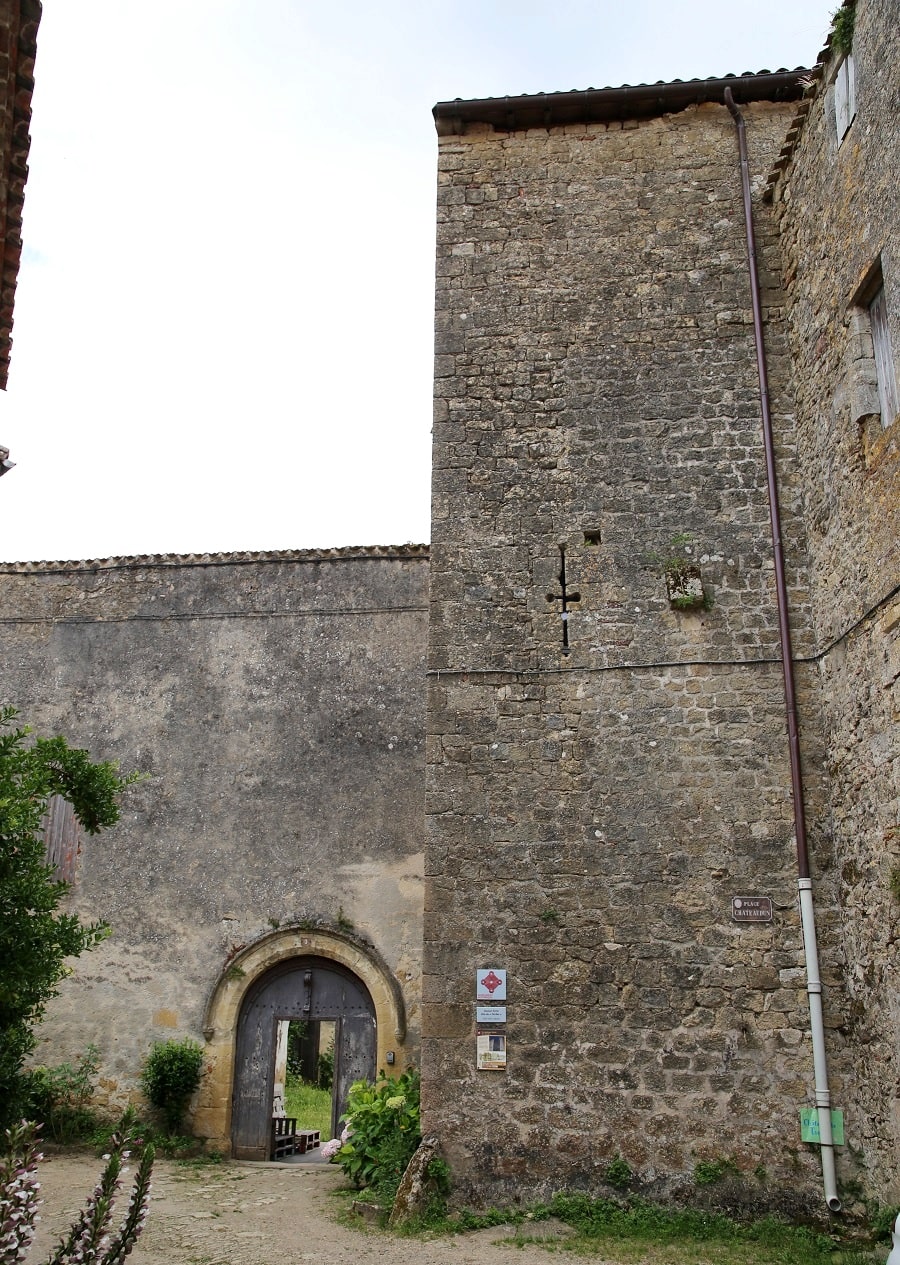
Tardes Castle (13th and 16th centuries)
Nicknamed “Tardes Castle” because of a 19th-century crenellated tower, this medieval fortified house (converted into a mansion during the Renaissance) comprises five floors.
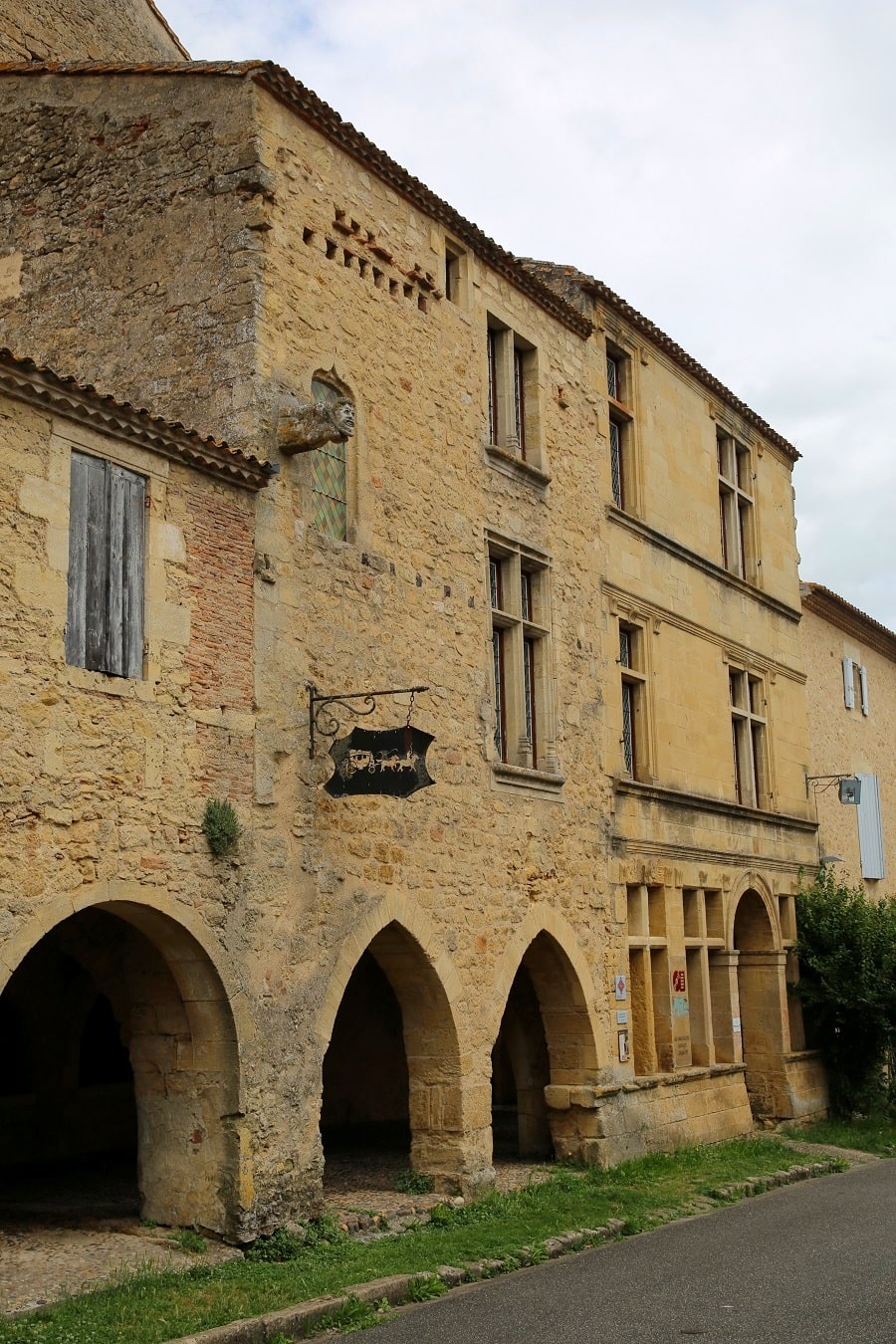
Henri IV Posting House (16th century)
A wealthy residence located on the market square, it was used as a posting house. It benefits from an interior courtyard with stables at the rear. Featuring a polygonal tower containing a spiral staircase, it was converted into a regional postal museum in the 20th century.
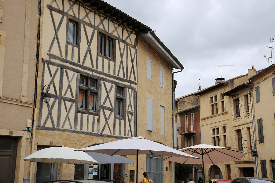
Ursuline Convent (17th century)
Opposite the Benauge Gate, a cemetery outside the walls was accompanied by a Saint-Michel chapel. Looted by the Huguenots, it was restored and enlarged by the Ursulines when they opened a convent nearby (1626).
Nature Theater (1925)
Neoclassical bandstand, erected from reinforced concrete on a square in the new town. It was built to accommodate the vitality of musical activities in Saint-Macaire during the 19th and 20th centuries.
Transport
The town has a station on the TER Nouvelle-Aquitaine network, served by regional express trains on the Bordeaux – Agen route (line 44).
By car
From Bordeaux: 53 min (52 km) via A62
From Andorra: 4 hr 19 min (385 km) via A62
From Barcelona: 5 hr 42 min (594 km) via A62
From Paris: 6 hr 11 min (627 km) via A10
Main information
Area: 1.79 km²
Coordinates: 44°33’50.5″N 0°13’35.9″W
Population: 9360
Language: French
Currency: Euro (€)
Visa: Schengen
Time: Central-European UTC +1
See here Pyrenees travel guide
See here France travel guide
See here Spain travel guide
See here Andorra travel guide




