
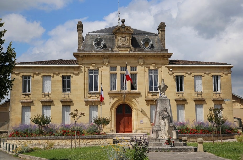
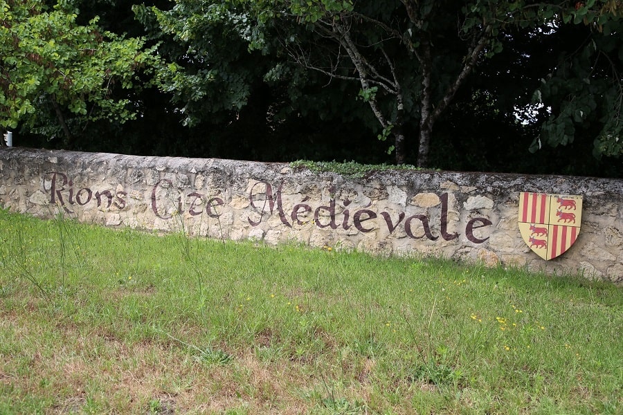
Rions is a commune in southwestern France, located in the Gironde department, in the Nouvelle-Aquitaine region.
Located on the right bank of the Garonne River between Cadillac and Langoiran in the AOC zone of the Premières Côtes de Bordeaux, the commune, which is part of the Bordeaux catchment area, is 30 km southeast of Bordeaux.
Tourism
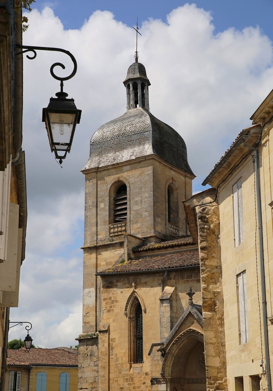
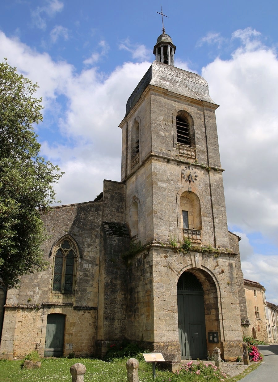
The Church of Saint-Seurin is a Catholic church originally built in the 12th century in Romanesque style. It was enlarged with side aisles and had its nave rebuilt in the 14th century in Gothic style. In the 19th century, it was enlarged on the north side and a neoclassical bell tower was added. It is listed as a historic monument by decree of December 1, 1908.
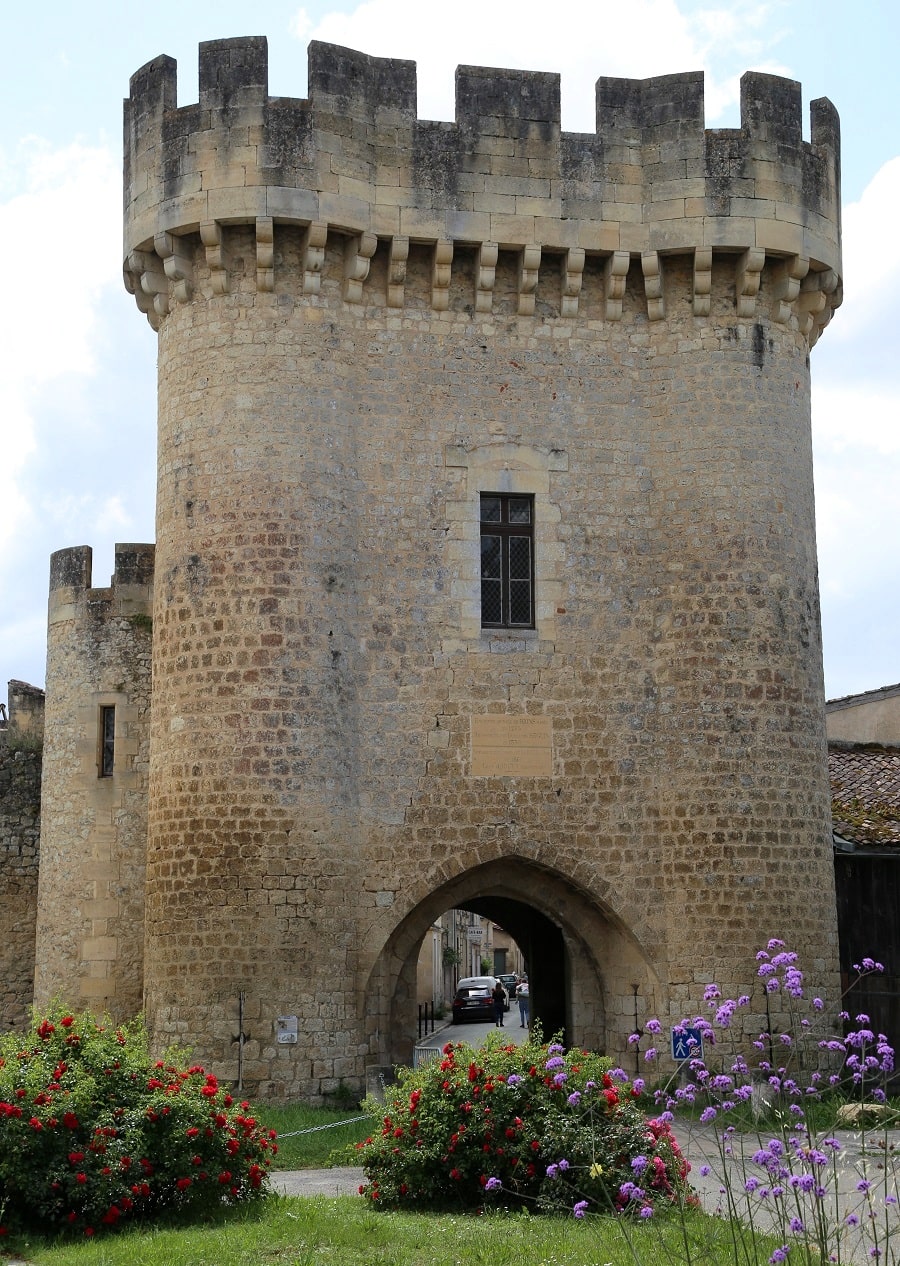
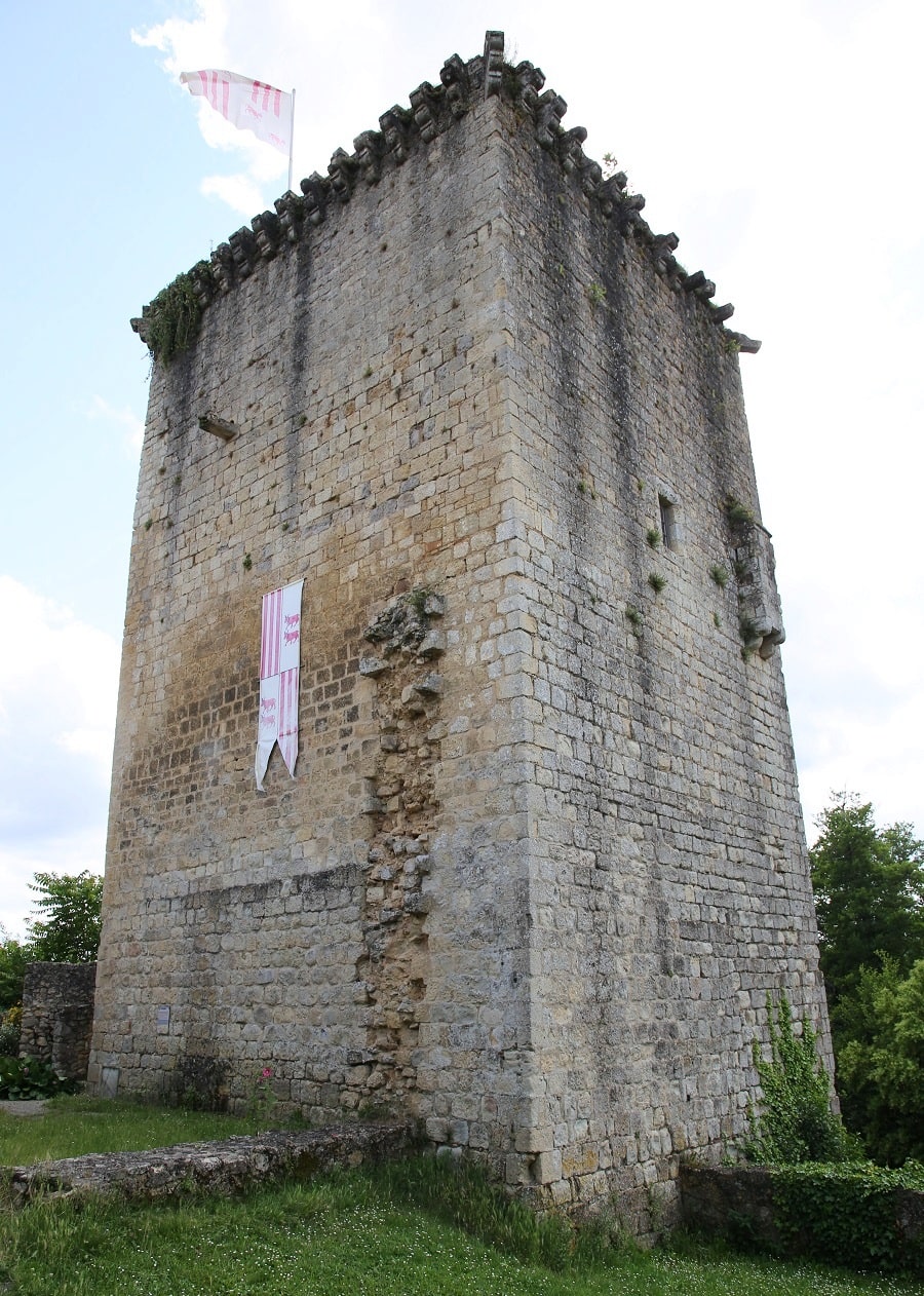
The Rions city wall is a historic fortification that originally surrounded the city center. A large portion of the wall has disappeared or deteriorated. The following remains remain:
- Lhyan Tower, the imposing southern entrance to the city,
- Citadel,
- ramparts on the western flank of the city,
- Watchtower,
- two parallel ditches separated by a narrow strip of land topped by a patrol path.
All of these remains are listed as historical monuments in 1862.
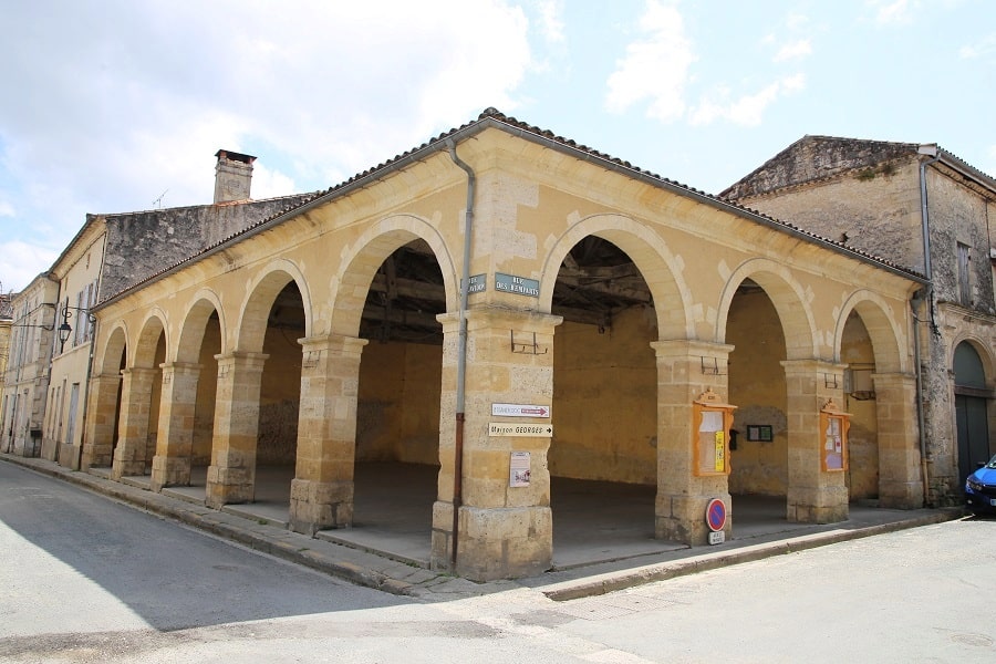
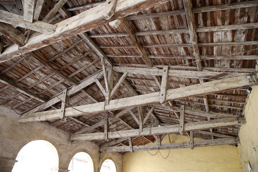
The Halle, known as the “pea market”, is a covered market dating from the 18th century. It is located at the corner of rue Lavidan and rue des Remparts.
The Broussey Monastery represents the first re-establishment of the Discalced Carmelite order after the French Revolution. The monastery houses a community of Carmelite friars and a community of sisters of the Apostolic Carmel of Our Lady of Bethlehem.
Transport
The town is located 5 km from Podensac train station (Bordeaux—Sète line). It is a passenger stop on the SNCF TER Nouvelle-Aquitaine network, served by regional express trains.
The city is also served by bus line 481 (Bordeaux-Langon). A one-way ticket costs €3.
By car
From Bordeaux: 48 min (42.6 km) via A62
From Andorra: 4 hr 25 min (398 km) via A62
From Barcelona: 5 hr 54 min (607 km) via A62
From Paris: 5 hr 59 min (618 km) via A10
Main information
Area: 10.65 km²
Coordinates: 44°39’49.9″N 0°21’06.9″W
Population: 1483
Language: French
Currency: Euro (€)
Visa: Schengen
Time: Central-European UTC +1
See here Pyrenees travel guide
See here France travel guide
See here Spain travel guide
See here Andorra travel guide