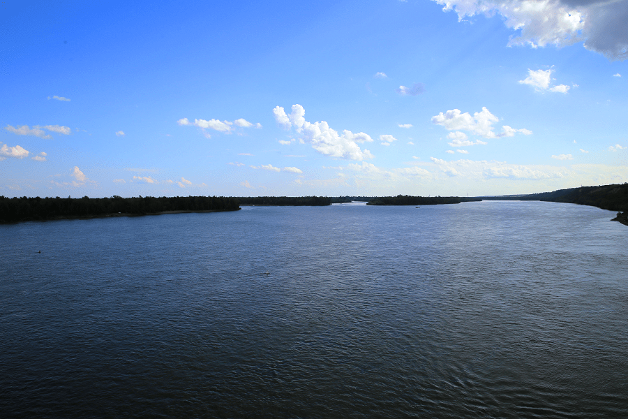
Vodootvodny Canal (drainage canal) was laid in 1783-1786 along the central bend of the Moskva River near the Kremlin (Moscow). Together with the Moscow River, it forms Balchug Island.
The length of the canal is 4 km, the width is from 30 to 50 m, and the depth is about 2 m. There are 11 bridges across the canal, including five pedestrian ones. The canal bed was laid along a swampy lowland, the oxbow lake of the Moskva River on the site of the former swamp. During the laying of the canal, the swamp was drained.
It leaves from the river above the Bolshoy Kamenny Bridge, near the monument to Peter I, and flows into the area of the Shluzovaya Embankment.

For the first time, the canal arrangement plan was presented in the “Projected Plan” of 1775, compiled by P. N. Kozhin and N. N. Legrand. In addition to laying a canal along the oxbow lake of the Moskva River, it was planned to cut two canals in the lowland floodplains of Ostozhenka and Yakimanka to protect these areas from floods. In the east, it was supposed to flood the lowlands in the current Ozerkovskaya embankment and Krasnokholmsky bridge and arrange a grain port and a fortified warehouse complex on the island.
This plan, in a significant part, was implemented in the 1780s, when it was necessary to divert the riverbed to restore the pillars of the All Saints Stone Bridge, which had suffered during the flood in April 1783.

With the construction of the Babiegorod dam, the canal became navigable, but only for four months a year, usually from June 1, while the collapsible Babiegorod dam was in the assembled position. At the confluence of the canal into the mainstream, the Krasnokholmskaya dam was built simultaneously with the Babiegorodskaya dam with a lock near the Shluzovaya embankment.
A second channel was laid along the modern Shluzovaya Embankment to straighten the navigable canal. Krasnye Holmy became a triangular island connected with Zamoskvorechye and the main island by several wooden bridges. Along the canal, in Golutvinskaya Sloboda, in Sadovniki and Kozhevniki, textile factories and mechanical workshops settled.
After the reconstruction of the Moscow hydroelectric complex and the construction of the Perervinskaya dam, the Babiegorodskaya and Krasnokholmskaya dams and the lock were dismantled, and the canal lost its drainage and navigable significance because the flow began to be regulated by the Karamyshevskiy and Perervinskiy dams, which also provided the necessary water level in the main channel for navigation.
In the 1930s, all pre-existing road bridges across the canal were replaced. After constructing the Krasnokholmsky bridges, the old canal bed along the Garden Ring was filled up.
In 1995, the first floating fountains in Moscow appeared in the water area of the canal.
At present, the banks of the canal are reinforced with concrete walls and lined with granite slabs. Fountains are installed along the canal.
In 2008, excursion ships began along the canal: passenger motorboats and the motor ship Stolitsa-1 specially built for operation on the canal.
Nearest metro: Tretyakovskaya, Novokuznetskaya, Paveletskaya.