Vilagarcía de Arousa (Sp. Villagarcía de Arosa) is a city and a municipality in the Salnés region, belonging to the province of Pontevedra in the autonomous community of Galicia, Spain.
The city is a popular part of the Rías Baixas costa of the Atlantic resorts of Spain.
Main attractions
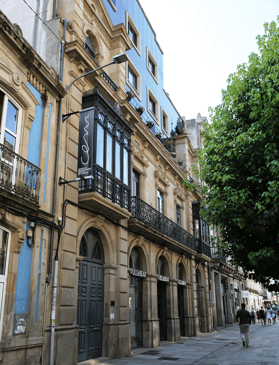
Although Vilagarcía de Arousa is a relatively modern city – its current configuration was developed mainly in the second half of the 20th century – it does not stop keeping corners that reflect its enormous past – it was founded in the mid-fifteenth century.
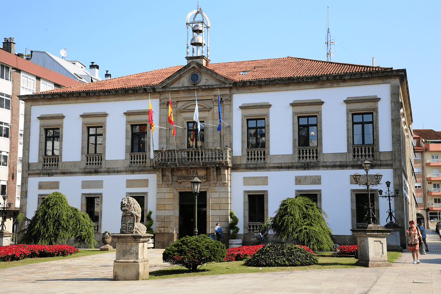
The old city starts in the Ravella square, where there is a town hall built at the end of the 19th century, emulating the old French mansions. Opposite is a century-old garden with large bananas trees. Always on foot, the route continues to the Plaza de la Independencia, the old Plaza del Mercado and once the seat of the jurisdictional roll or picota, which reminds us that in that same place the town of Vilagarcía was the first in Galicia to rise up against the invasion French, in 1808.
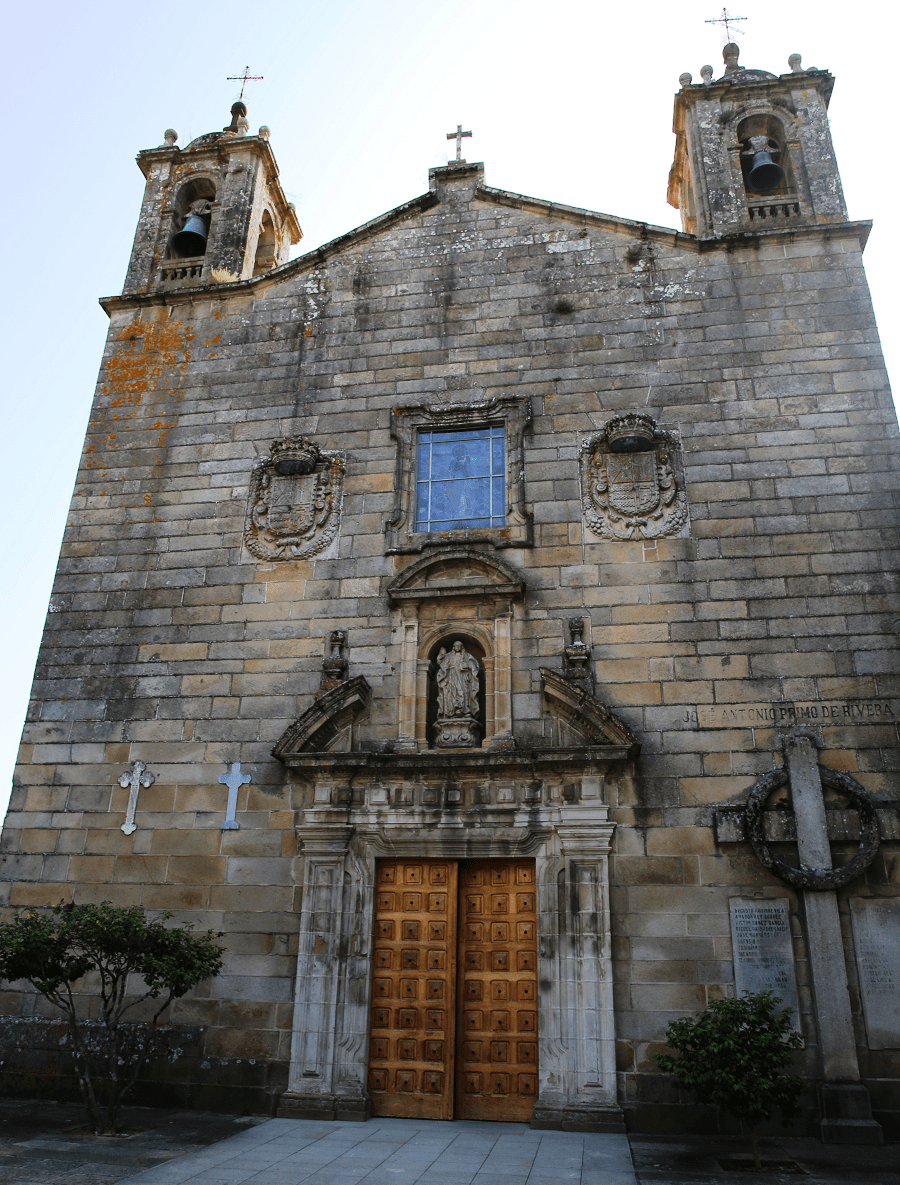
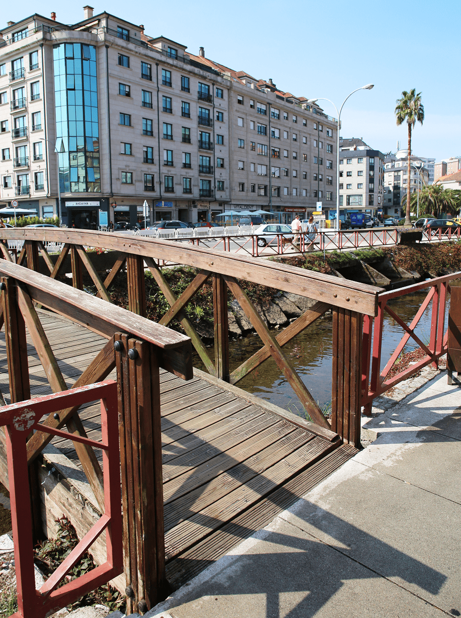
Then, the Plaza de España, also with centuries-old trees and in front of the parish church, from where a stone bridge came out -today converted into a pedestrian street- that connected the temple with the whole of Vistalegre, declared a historical monument and formed by a convent, a church and a palace that saw the birth of an archbishop of Santiago and a viceroy of Peru.
From here you reach the Castro de Alobre, the birthplace of the city and one of the most important archaeological sites in the northwest of the peninsula. In its skirt is the botanical park of Enrique Valdés Bermejo, created in the 30s of the twentieth century by the Duke of Newfoundland, who brought species from various countries around the world.

From the park the route goes to the Plaza de Abastos, a unique building from 1929, an example of the regionalist architecture of the time, located at the foot of the river and in front of the pazo de Vistalegre. The square is a must-see. Pure sea and mountain.
Then, one step away, the old and original Barrio do Castro, so called because of its proximity to Alobre and because that was the origin of the town, when the founder, García de Caamaño, in the middle of the 15th century helped fishermen to build their first houses to settle the population, thus giving rise to Vila-García.

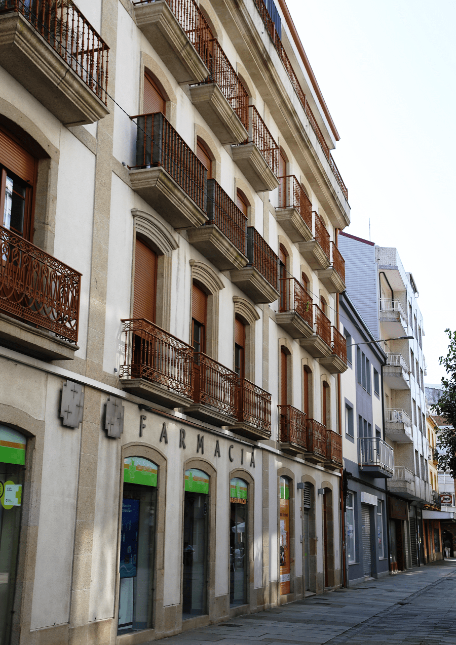
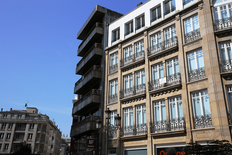
Next interesting stop is Plaza de la Pescadería. Here you can still see some characteristic examples of the architecture of fishermen, the so-called “skewer” houses. Very close, is the Plaza de la Peixería, with a remarkable building of 19th century iron architecture, which today hosts the most diverse cultural events, in addition to the tourist office.
Beaches
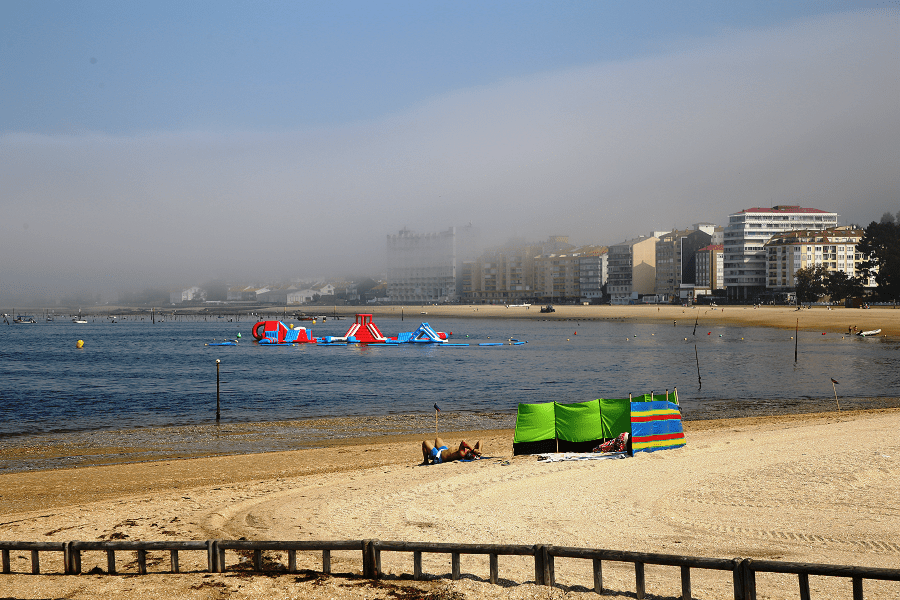
A Concha Beach. Length: 450 meters. Width: 51 meters. The main urban sand beach of the city.
Bamio / Campanario Beach, blue flag. Length: 167 meters. Width: 50 meters. Semi-urban sand beach.
Bouzas / Castelete Beach. Length: 120 meters. Width: 3 meters. Urban sand beach.
Canelas Beach. Length: 140 meters. Width: 3 meters. Urban sand beach.
How to get to?
The nearest airport to Vilagarcía de Arousa is Vigo (VGO) Airport which is 42.6 km away. Other nearby airports include Santiago de Compostela (SCQ) (43.6 km), A Coruña (LCG) (84.5 km) and Porto (OPO) (151.3 km).
From Pontevedra 36 min (35.1 km) via AP-9
From Santiago de Compostella 45 min (52.3 km) via AP-9
From Madrid 6 hr 13 min (644 km) via A-6 and A-52
Main information
Area: 47 sq. km
GPS coordinates: 42°35′42″N 8°44′35″W
Language: Spanish, Galician
Population: 37 565
Currency: Euro
Visa: Schengen
Time: Central European UTC +1, in summer +2
See here best sea and ocean resorts of France and Spain (223 objects)