Vermillion (Côte Vermeille)
(Mediterranean resorts of France)
The length of the Mediterranean coast in Occitania (France) is approximately 250 kilometers. There are many good beaches and marinas on the coast. This part of the Mediterranean coast is not as famous among tourists as the the French Riviera. At the same time, the “Mediterranean shore of the Pyrenees” has been inscribed by UNESCO on the tentative list of World Heritage since February 1, 2002.
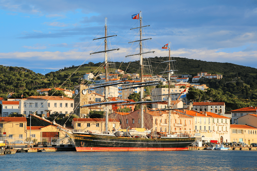
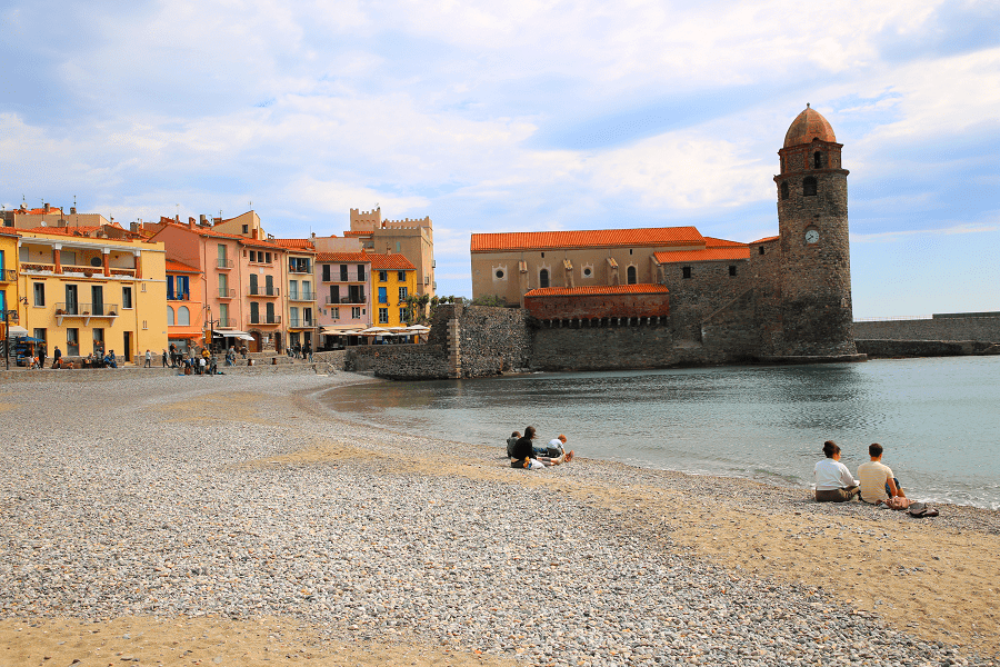
The Côte Vermeille (Catalan: Costa Vermella, French: Côte Vermeille, meaning “vermilion coast”) is a region in the French department of Pyrénées-Orientales, near the border with Spain. The Côte Vermeille stretches from Argelès-sur-Mer to the border village of Cerbère. The towns of Collioure, Port-Vendres and Banyuls-sur-Mer are nested along a 20 km stretch of beaches, small bays, creeks and coves.
The shore features rocky coves, fishing ports and hillside vineyards. Far from the sandy beaches and seaside resorts, located further north, it is a wild coast, a paradise for hikers and scuba diving enthusiasts.
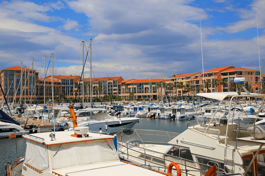
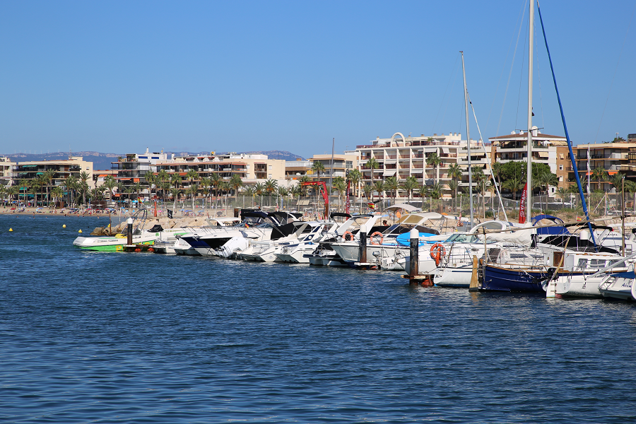
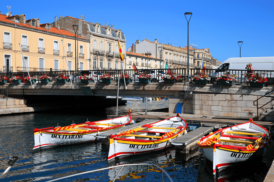
The ports of the Vermeille coast specialize in fishing for blue fish (sardines, tuna, anchovies, mackerel) which is carried out by seiners or small gillnetters. Until the beginning of the 1950s, fishing was undertaken with Catalan boats, which were very maneuverable and robust in heavy weather. In all the ports on the coast, fishing is in decline. Fishing boats are replaced by pleasure boats.
The Vermeille coast is crossed by departmental road 914 which connects Collioure, Port-Vendres, Banyuls-sur-Mer and Cerbère.
It has two lighthouses: that of Cape Béar and that of Cape Cerbère.
There are also two hamlets, the hamlet of Cosprons attached to Port-Vendres and the hamlet of Rimbau attached to Collioure.
Vermillion coast borders with the Costa Brava resorts in Catalonia (Portbou) and French Amethyst Coast to the north.
Vermillion Coast (Côte Vermeille). Main resorts from south to north
Main hiking routes
The Vermilion Coast Tracks follow the mediterranean coastline of the Pyrenees from Argelès-sur-Mer to Cerbère the border town with Spain. Passing through several types of forest, and vineyards, this tracks often provides excellent views over the sea. It is classified as one of Pyrénées-Orientales’s Great Hikes, and is located in the Massane Forest Natural Reserve.
Cerbère to Banyuls by the Torre de Querroig
12km, approximately 5 hours. A technical route for experienced walkers. Unsuitable in high winds. Starting in the village of Puig del Mas, follow the path that Jewish writer, Walter Benjamin and friends took to escape Nazi persecution in occupied France. Climb to The 13th century Torre de Querroig (672m).
Port Vendres to Banyuls by the Littoral Trail
12km, approximately 4 hours. This trail can be done back and forth, in any direction. A well maintained path but the cliffs can be dangerous if it is windy, and the wind can be extremely strong at Cap Bear. The walk takes in the historic site of Paullilles, the 18th century museum, Redoute Bear and the active military installation, Fort Bear.
The Madeloc Tower & Military Installations
21.5km, approximately 6 hours. Intermediate level with some technical areas. Begin from Place de l’Obélisque, in Port Vendres, walking via Cosprons, Fortress Galline, Batterie 500, Tour de Madeloc (656m), Batterie Taillefer, Fort Dugommier & Fort St Elme before dropping back to Port Vendres.
See here best sea and ocean resorts of France and Spain (223 objects)
See here Pyrenees travel guide
See here France travel guide
See here Spain travel guide
See here Andorra travel guide


