Susanna Simon, Madriu-Perafita-Claror Valley, management department’s director:
“Do you know the Madriu-Perafita-Claror Valley, the only World Heritage site in Andorra?
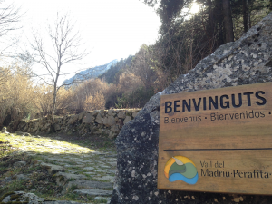
The Madriu-Perafita-Claror Valley is situated in the southeast of Andorra and covers a surface area of 4,247 hectares, distributed between the parishes of Encamp, Andorra la Vella, Sant Julià de Lòria and Escaldes-Engordany. Although it can be reached from any of the parishes, the easiest entrance is from Escaldes-Engordany, via the Engolasters road. Once the car is parked, only your feet can take you to any of the beautiful corners of the Valley as it is a pedestrian only area.
The Valley was declared a World Heritage site by UNESCO in 2004 under the category Cultural Landscape, which is defined as a “joint work of man and nature, which forms a coherent unit for their aesthetic, historical or cultural values.” Landscapes with extraordinary beauty are hence the result of human interaction with the environment.
The preservation of a major valley in its entirety is unusual and this is the only one that remains in the Pyrenees. But although most of the Madriu-Perafita-Claror Valley has been maintained in its natural state, the Valley is not an unspoilt territory.
Throughout its twelve kilometres, we can find traces of different historical periods (archaeological researchers have dated the first occupants in the Mesolithic, around 6000 A.C.), and traces of those difficult times when people constantly struggled to survive on earth. The dry stonewalls, paved tracks, enclosures, barns and other structures show us the use and development of this area throughout history, mainly related to livestock, agriculture, logging, and iron and hydroelectric industry. The Valley has therefore become a living testimony to the history and lifestyle of a rural mountain country.
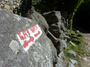
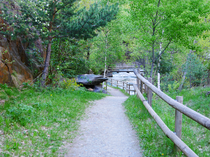
Last Saturday, we celebrated the International Day of Museums (18th May) and the International Day of Biodiversity (21st of May) with a free guided tour in the Valley. We started at 9.30am from the bottom of the Camí de la Muntanya, and we walked all the way up to Ràmio. This walk takes about 1 hour. It is not difficult and it is fairly short (2.6 km long), but we have to keep in mind that there is 500m difference in height as you travel through. The path follows the route of the GR7, so it’s easy to follow thanks to the marks and signposts.
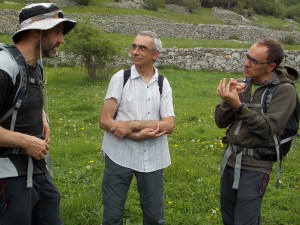
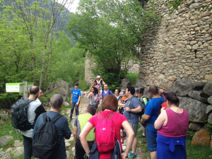
Our guided walk took a bit longer as we stopped during the ascent to listen to our guides’ explanations.
Eduard and Toni showed us the great wealth of flora and fauna in the Valley. The paved path is lined with deciduous trees, such as oak trees, European ash trees, Aspen trees, whitebeams, hazelnut trees, Italian maples, willows and European alders. Once we reached Entremesaigues, where river Madriu meets river Perafita-Claror, deciduous trees began to alternate with meadows, used as pasture lands, and the domain of the Scots pine starts, which alternate with bearberry and bilberry in the sunny sides, and with alpenrose in the shadier areas.
The sunny sides in Entremesaigües and Ràmio are areas of great ornithological value. We were not lucky enough to see any birds, but we heard and found traces of red crossbill and black woodpecker. Birds find a quiet environment to nest in the Madriu-Perafita-Claror Valley, and we can also see several species threatened with extinction in the rest of the European continent, such as the golden eagle or the capercaille.
Unfortunately we weren’t any luckier when it came to spotting mammals, which also benefit from the existence of a protected open area. Pyrenean chamois, mouflons, the Gerbe’s voles, marmots or red squirrel can be seen if you are patient enough!
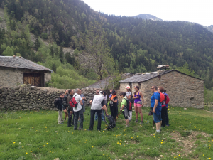
Whilst we were observing the extraordinary landscape, David gave life to the elements of the cultural heritage of the Valley: dry stone walls and huts, the paved path, the remains of the iron industry… The descriptions gave us a good idea of the great wealth of the Valley, for which it has earned global recognition.
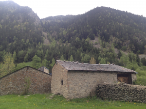
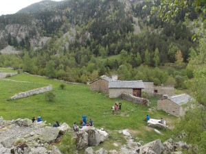
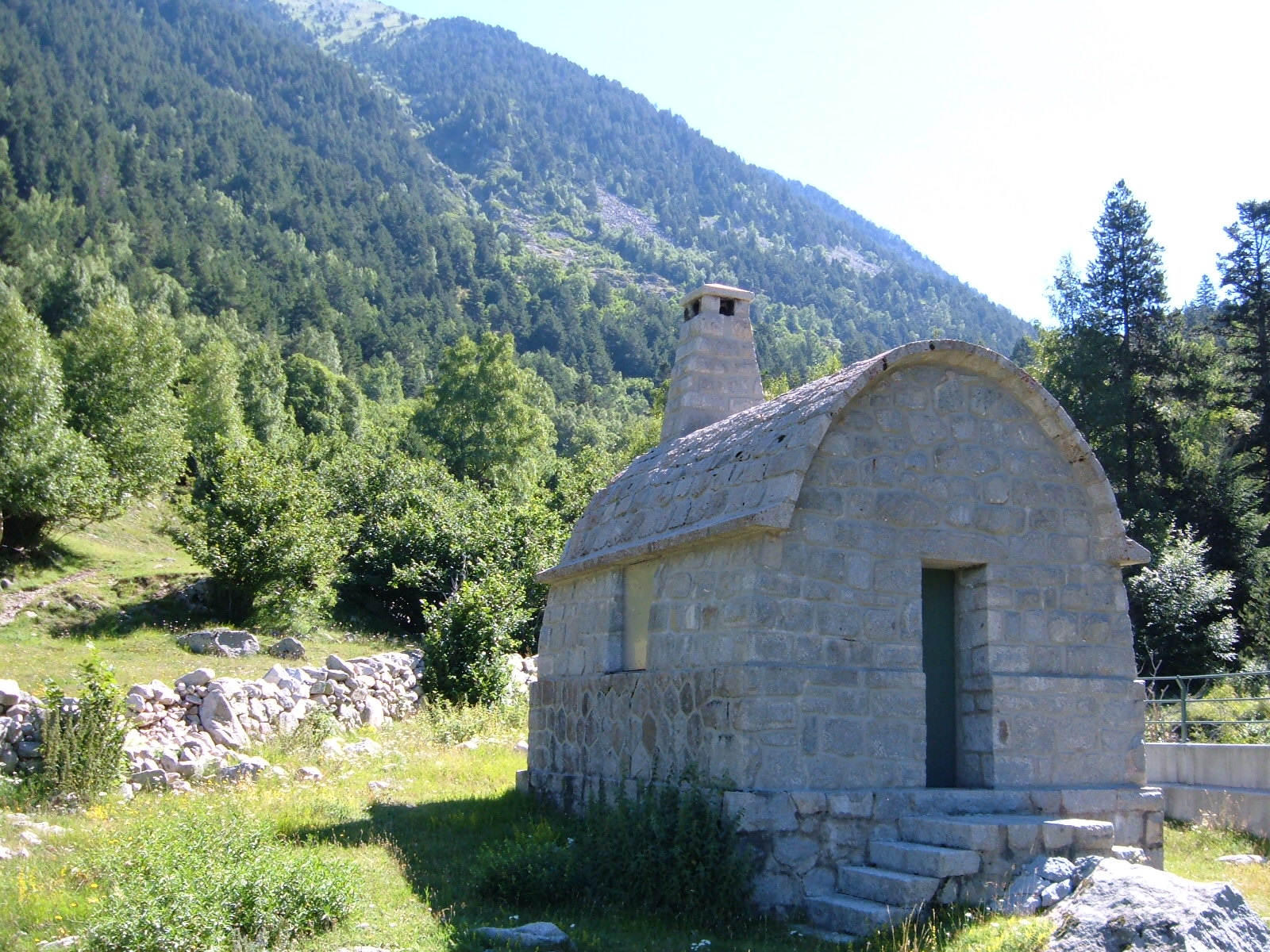
Essentially, the territory was dedicated to agriculture: the bottom of the valley was used as a cultivation area for obtaining agricultural products, both for human consumption as well as for maintaining the herds. The “bordes” (dry stone huts) provided farmers with a kind of base camp when the agricultural land was far from home. They lived there and stored their basic tools there while working on the mountains. “There are still 15 “bordes” standing and identifiable, and it is in Ràmio where there is the biggest concentration of them, with seven huts and four other constructions (these constructions are in ruins today).
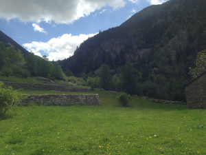
Our walk finished in Ràmio, where we observed those beautiful and well-preserved “bordes” and dry stone walls separating the meadows.
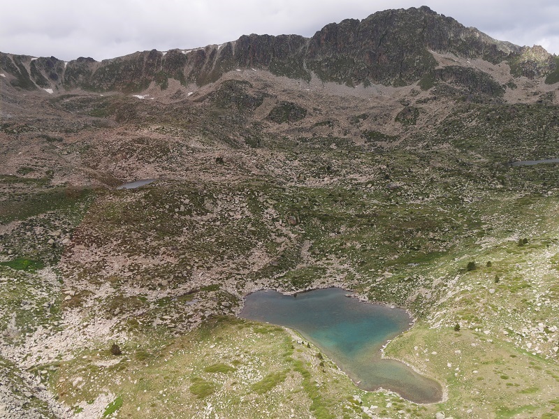
This little walk was only an appetizer of what the Valley has to offer: high mountain meadows, lakes or amazing viewpoints.
See you soon for more!
Contact us: [email protected]
Photos: Susanna Simon


