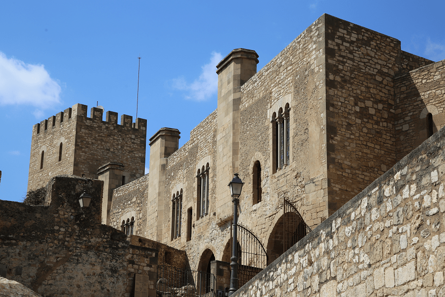
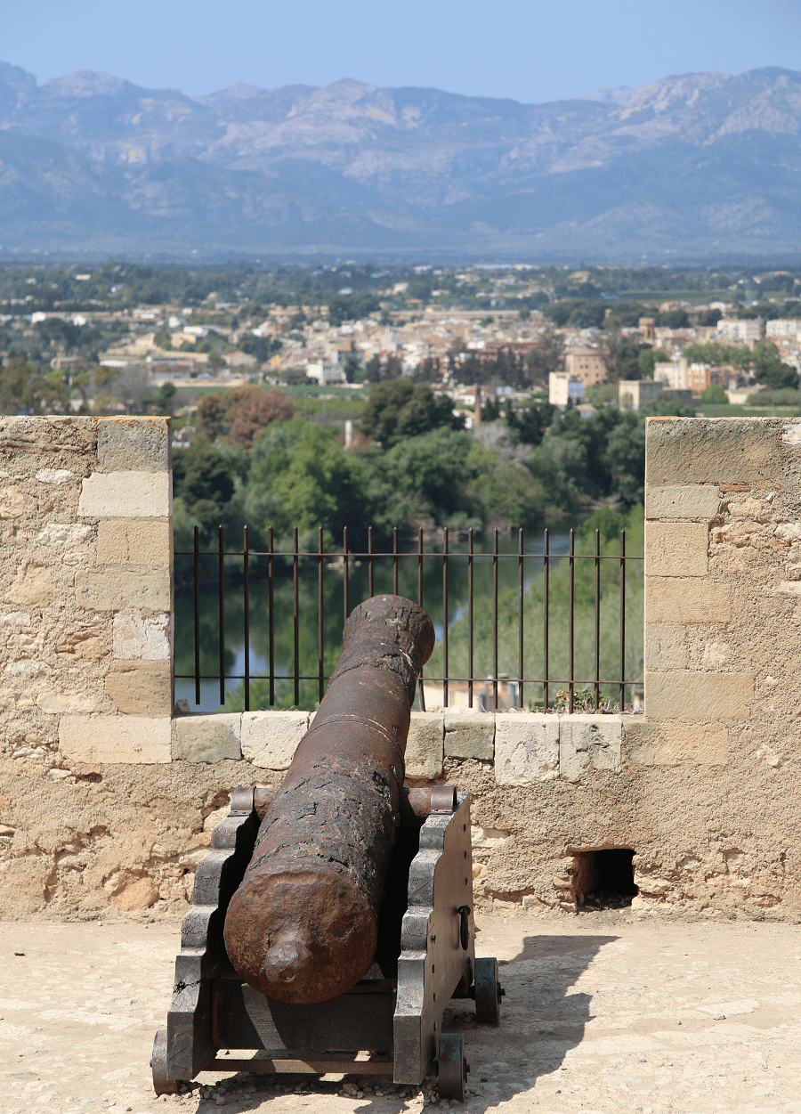
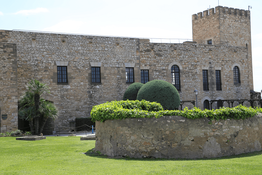
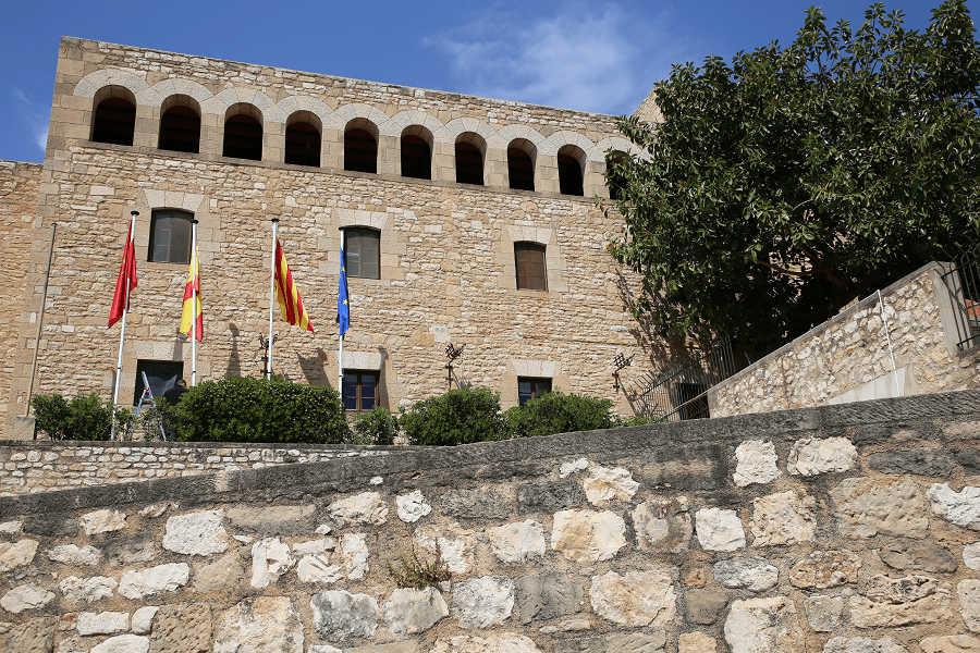
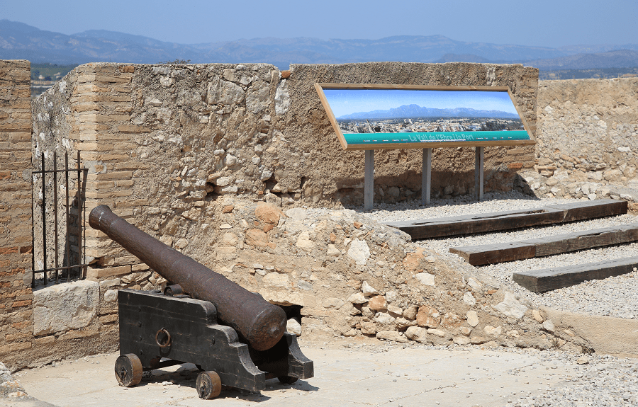
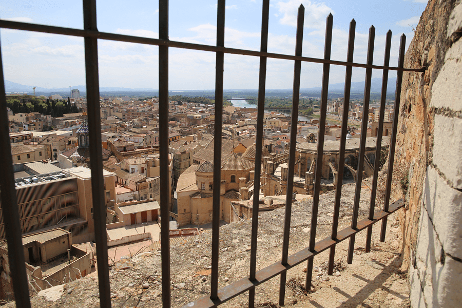
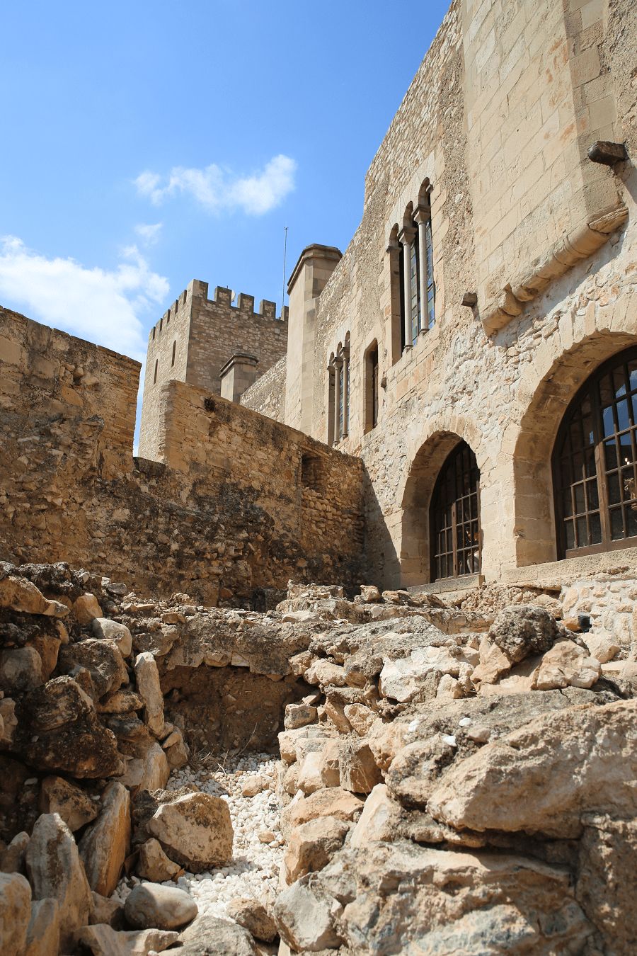
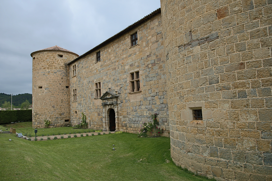
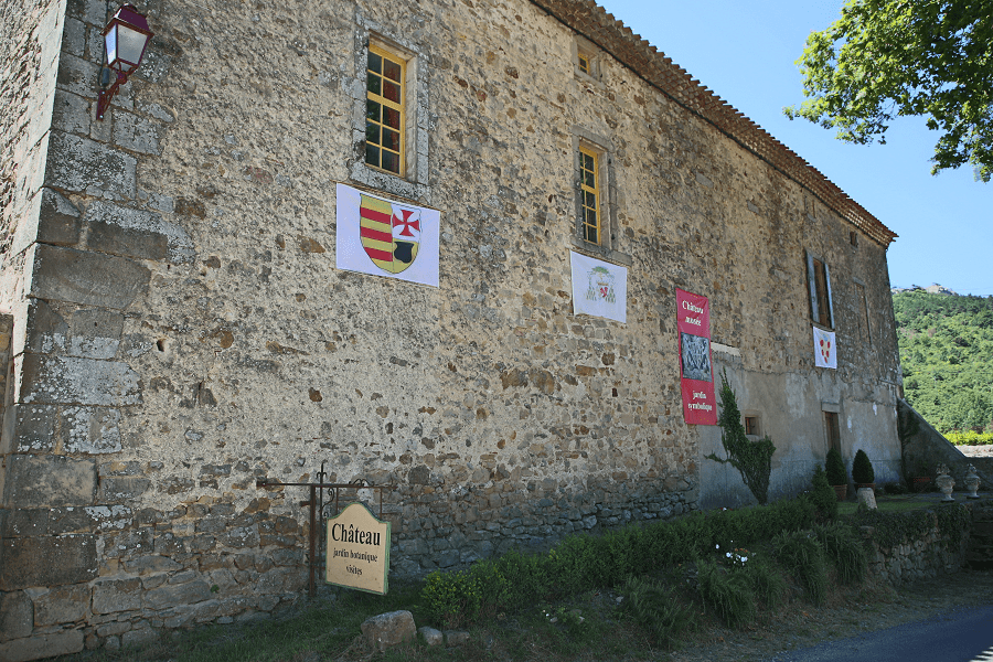
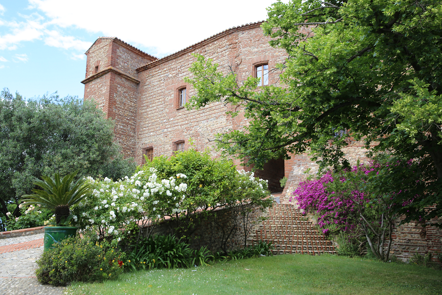
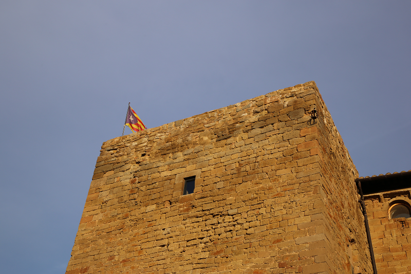
Tortosa castle (cat. La Suda de Tortosa) is an impressive fortress in Tortosa at an altitude of 59 meters above sea level, overlooking the city and the Ebro River, with an exceptional observation deck. Tortosa is part of the province of Tarragona in the autonomous community of Catalonia, Spain.
Today it is part of the Paradores Nacionales network, a company owned by the Spanish state.
One of the names most frequently mentioned in the ancient history of Tortosa is “Souda”, a name of Arabic origin, which means the same as a castle or fortress. The current castle dates back to the first settlers of Tortosa. The houses attached to it are the part of the city that was the first, protected by the fortress, which served as its rear.
Apparently, when the conquest took place, this castle was divided into three parts, or, better to say, three independent castles were formed.
The Romans built the first walled structures, but it was the Muslims under the Caliphate Abd al-Rahman III (cat. Abderraman III) who built this fabulous building, which today is called La Souda, with a well of large diameter and depth.
Abd al-Rahman III or (Arabic: أبو المطرف عبد الرحمن بن عبد اللله النيار النيار ) (Cordoba, January 7, 891 – October 15, 961) was the first caliph of Cordoba.
In the tenth century, it seemed that Andalus needed to be divided due to the incessant revolts and advances of the Christian kingdoms. It was then that the young prince Abd-ar-Rahman put an end to internal uprisings, strengthened political power and defeated the enemies of the north (Christians) several times.
Articulated underground galleries are located around the castle, in which the remains of an old mill and two furnaces have been preserved.
The castle, conquered by Count Ramon Berenguer IV (December 1148), became the seat of the Moncada and the Templars in gratitude for the help provided during the battle.
In the Middle Ages, the castle housed a court. Medieval buildings are still heavily disguised by work carried out during the 17th and 18th centuries, when two adjacent highlands were fortified to form a new defensive system.
GPS coordinates: 40 ° 49 ′ N, 0 ° 31 ′ E


