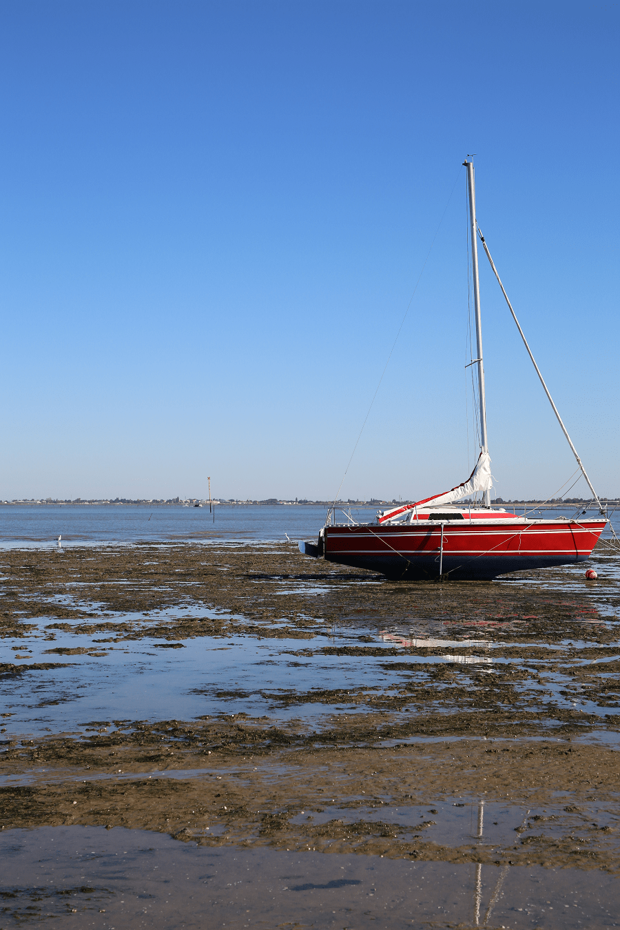
Ronce-les-Bains (Fr. Ronce-les-Bains) is a residential area of the town of La Tremblade, in the department of Charente-Maritime and the Nouvelle-Aquitaine region. This small seaside resort is located in the far north of Royannais, in the western part of the Arvert peninsula, on the edge of the Atlantic Ocean (Mer des Pertuis) and the Seudre estuary, opposite to the island of Oléron and the town of Marennes, to which it is linked by the Seudre bridge.
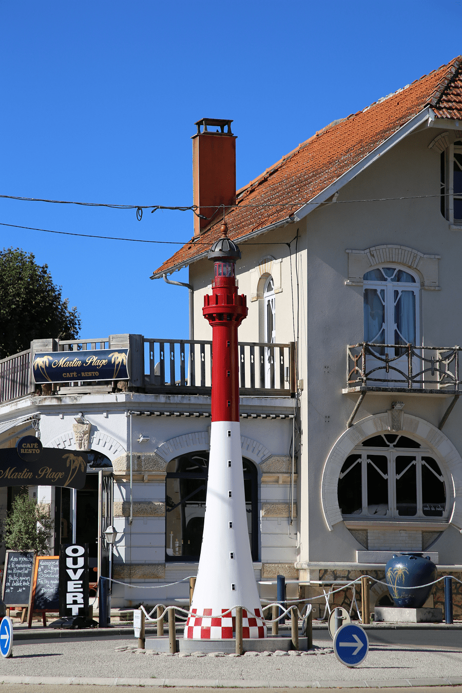
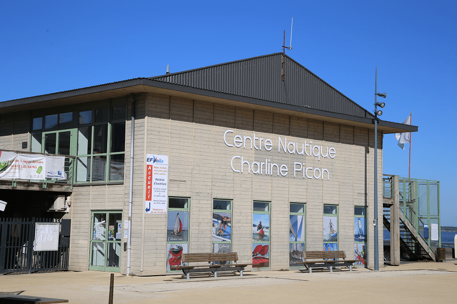
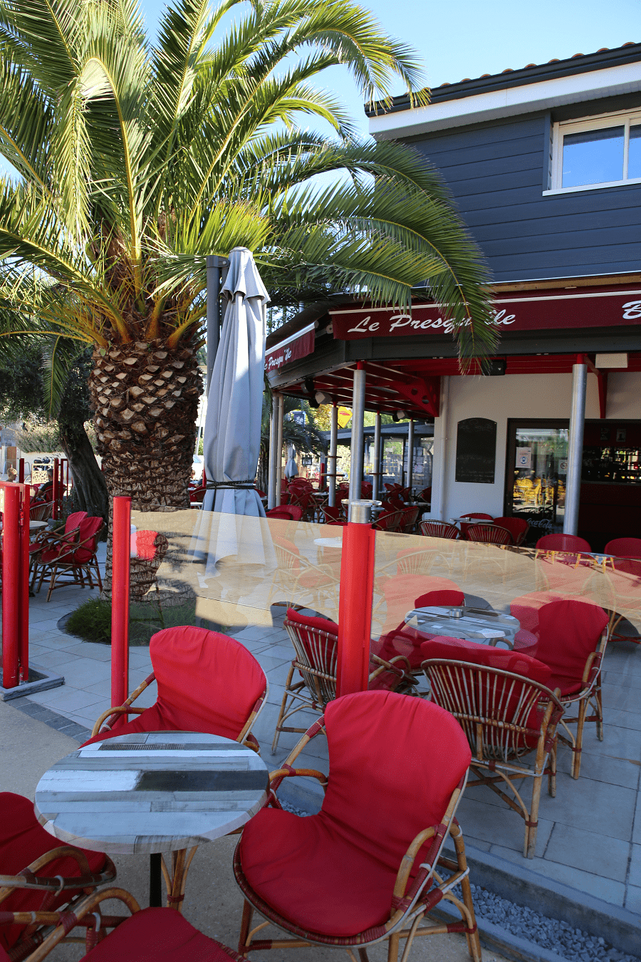
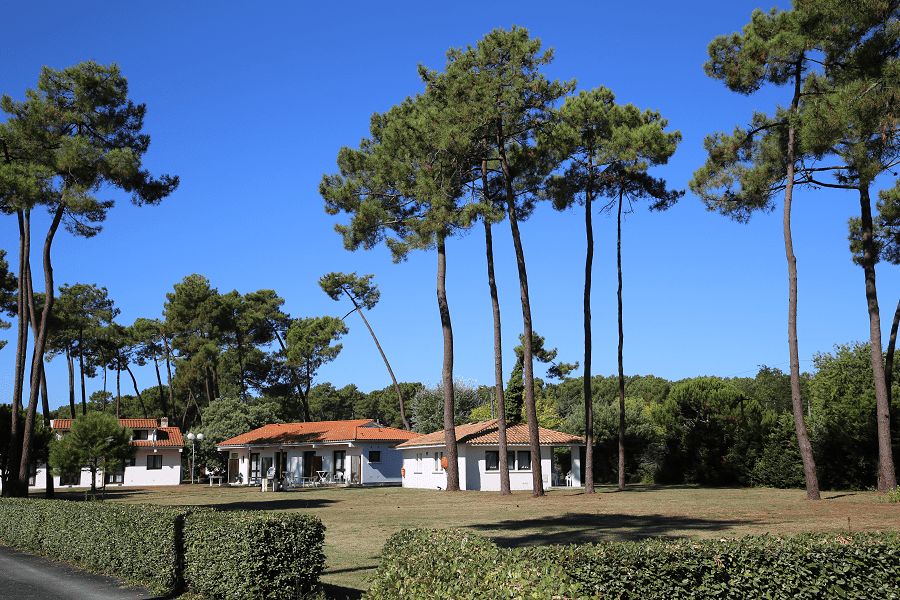
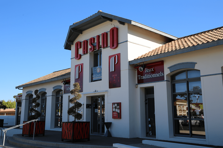
Located in the extension of the national forest of Coubre, a vast pine forest of nearly 8,000 hectares, it has several beaches, a casino and a nautical base. Surf casting competitions are also organized there. Further west, the site of the Spanish point, swept by powerful rollers, is a popular surf spot.

Since 2015, Ronce-les-Bains has been part of the perimeter of the Gironde Estuary and Pertuis Sea Natural Marine Park, the largest in mainland France.
History
The craze for sea bathing is at the origin of the creation of the seaside district of Ronce. The dunes and the forest began to be subdivided after the purchase of a property in 1856 at a place called “La Ronze”—which would have given its name to the future seaside resort—by Joseph-Édouard Perraudeau de Beaufief (1821-1908), a wealthy bourgeois from Saint-Jean-d’Angély.
Perraudeau spurred the movement by building the villa “Les Cigognes” and by creating in 1860 a sea bathing company with Doctor André Théodore Brochard, a Parisian doctor (author of the booklet entitled Des bains de mer à La Tremblade), who highlights the healthiness of the climate and the properties of seawater for a certain number of joint or respiratory pathologies; this text gives a first notoriety to the new station.
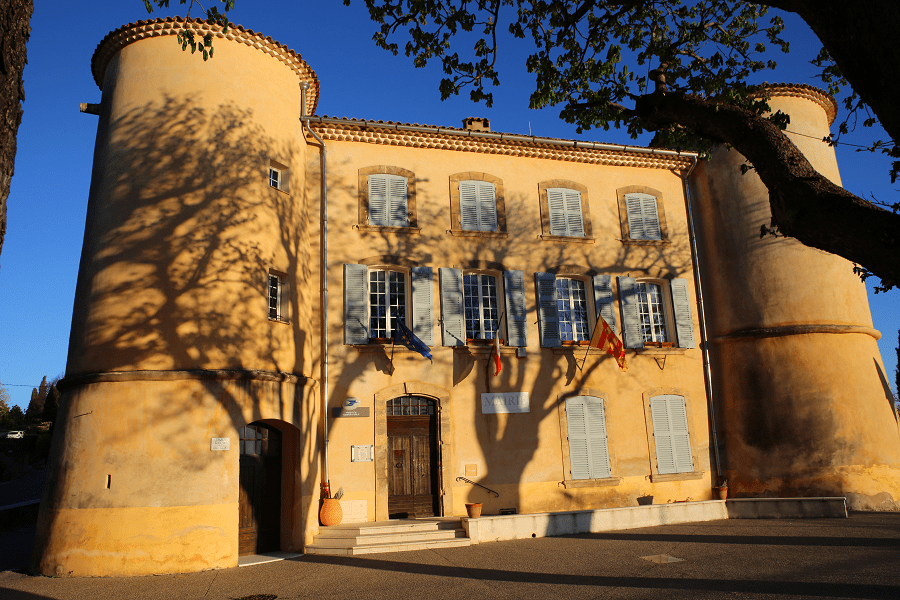
The arrival of the railway (Saujon-La Tremblade) in 1876 allowed the station to experience a new wave of development. A gaming establishment (casino) is built. Activities are offered on the beaches. Little by little, sea bathing went beyond the scope of medicine to become an entertainment, popular with the bourgeoisie first, and then more modest people.
Many hotels have disappeared today and have been transformed into apartments, but some remain and continue to participate in the tourist life of Ronce-les-Bains, such as the hotel-restaurant La Côte d’Argent avenue Gabrielle, built in the 1950s by the architect M. Carollaud.
Tourism
The resort is crossed by the EuroVelo 1 cycle route (also known in its French part as the “Vélodyssée”) which connects Norway to Portugal. This cycle route goes through Marennes and takes the Seudre bridge before joining Ronce-les-Bains at the Petits Bateaux roundabout (La Tremblade ring road). Its part going from Ronce-les-Bains to Saint-Palais-sur-Mer is converted into a greenway. The city became part of the La Tour de France 2020 competition.
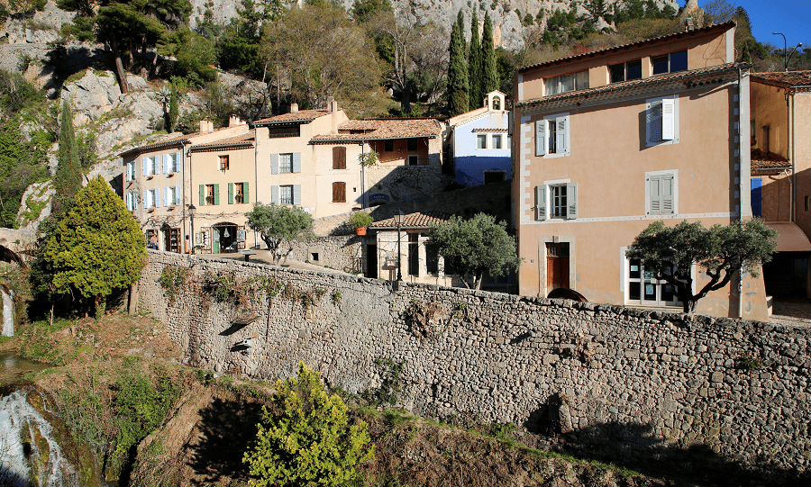
Among the main architectural sights are Chapelle Saint-Joseph (1895) and Seudre Bridge.
Beaches
Main beach is the Plage de la Cèpe. Sandy, good for kids.
Transport and how to get to?
Ronce-les-Bains is served all year round by the urban transport network of the Royan Atlantique urban community. Called Cara’Bus, this service managed by the company Veolia Transport connecting nearly 130 stations in sixteen municipalities on the outskirts of Royan.
Nearest TGV station is Royan SNCF station.
Nearest airports: about 30 kilometers – Rochefort-Saint-Agnant airport which offers flights to several European destinations (the British Isles in particular), and about 70 km from La Rochelle – Île de Ré airport.
Shortest distance by car:
From Rochefort: 32 min (31.4 km) via D123
From Le Château-d’Oléron: 22 min (18.0 km) via D26 and D728E
From Saint-Palais-sur-Mer: 29 min (25.2 km) via D14 and D25
From Soulac-sur-Mer (ferry): 1 h 25 min (44.6 km) via D14
From Niort: 1 h 30 min (94.1 km) via D911
From Saintes: 48 min (55.9 km) via N150 and D14
From La Baule-Escoublac (tolls): 3 h 17 min (274 km) via A83
From Saint-Nazaire (tolls): 3 h 14 min (260 km) via A83
From Pornic (tolls): 3 h (239 km) via A83
From Les Sables-d’Olonne: 2 h 24 min (162 km) via D949
From Saint-Gilles-Croix-de-Vie (tolls): 2 h 38 min (188 km) via D948
From Noirmoutier-en-l’Île (tolls): 3 h 15 min (229 km) via D948
From Jard-sur-Mer: 2 h 2 min (141 km) via D949
From Nantes (tolls): 2 h 30 min (196 km) via A83
From Cognac (tolls): 1 h 11 min (82.1 km) via N141 and N150
From Angoulême (tolls): 1 h 45 min (129 km) via N141
From Arcachon (tolls): 2 h 37 min (236 km) via A10
From Royan (tolls): 34 min (28.2 km) via D14 and D25
From Biarritz (tolls): 3 h 49 min (369 km) via A63 and A10
From Bayonne (tolls): 3 h 38 min (355 km) via A63 and A10
From Dax (tolls): 3 h 23 min (317 km) via A63 and A10
From Saumur (tolls): 2 h 57 min (247 km) via A10
From Bordeaux (tolls): 2 h 3 min (170 km) via A10
From La Rochelle: 59 min (63.7 km) via D137
From Toulouse (tolls): 4 h 6 min (409 km) via A62 and A10
From Carcassonne (tolls): 4 h 53 min (498 km) via A62
From Monaco (tolls): 9 h 19 min (988 km) via A62
From Nice (tolls): 9 h 5 min (966 km) via A62
From Cannes (tolls): 8 h 50 min (939 km) via A62
From Saint-Tropez (tolls): 8 h 48 min (911 km) via A62
From Marseille (tolls): 7 h 38 min (808 km) via A62
From Avignon (tolls): 6 h 57 min (735 km) via A62
From Montpellier (tolls): 6 h 17 min (648 km) via A62
From Béziers (tolls): 5 h 41 min (585 km) via A61 and A62
From Perpignan (tolls): 5 h 53 min (612 km) via A62
From Narbonne (tolls): 5 h 24 min (556 km) via A61 and A62
From Andorra (tolls): 6 h 28 min (589 km) via A62

Main information
Languages: French
Currency: euro
Visa: Schengen
Time: Central European UTC +1
GPS coordinates: 45° 47′ 48″ N, 1° 09′ 41″ E
See here best sea and ocean resorts of France and Spain (223 objects)