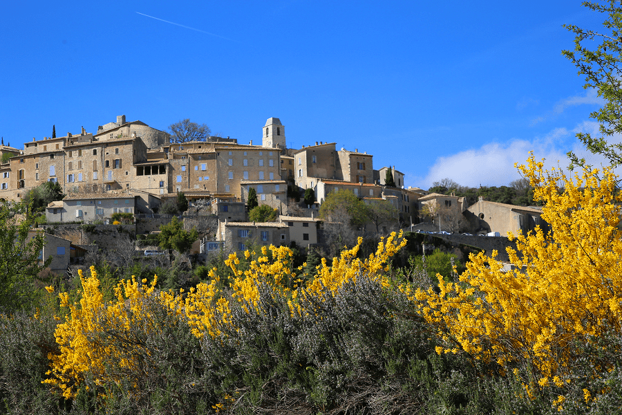
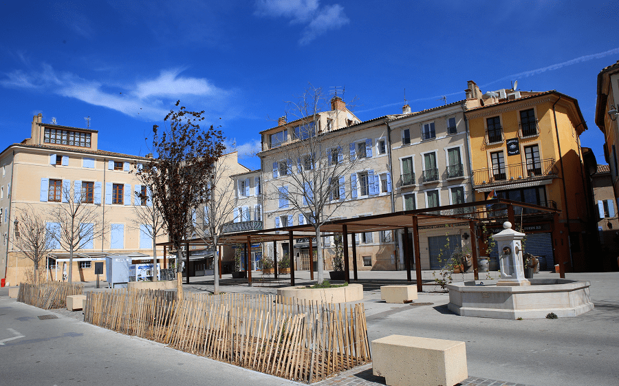
Rincón de la Victoria is a municipality in the province of Malaga, autonomous community of Andalusia, Spain. It is located in the La Axarquía region and integrated into the Malaga metropolitan area, the homonymous judicial district and the Commonwealth of Municipalities of the Costa del Sol-Axarquía.
It’s a popular part of the Costa del Sol of the Mediterranean resorts of Spain.
Rincón de la Victoria is the ninth most populated municipality in the province and the second in the region after Vélez-Málaga. The population is concentrated in four urban centers, three coastal and one inland (La Cala del Moral, Rincón de la Victoria, Torre de Benagalbón and Benagalbón).
Formerly known as Bezmiliana and more recently as Benagalbón, the origins of the municipality date back to prehistory, as evidenced by the archaeological sites found. Today, Rincón de la Victoria is a tourist center known for its sea caves and beaches. Due to its proximity to the city of Malaga (the center of the Malaga capital is 16 kilometers down the highway), it has become a bedroom town, although it still retains part of its maritime character.
Locally, Rincón de la Victoria is simply called El Rincón.
Tourism and main attraction
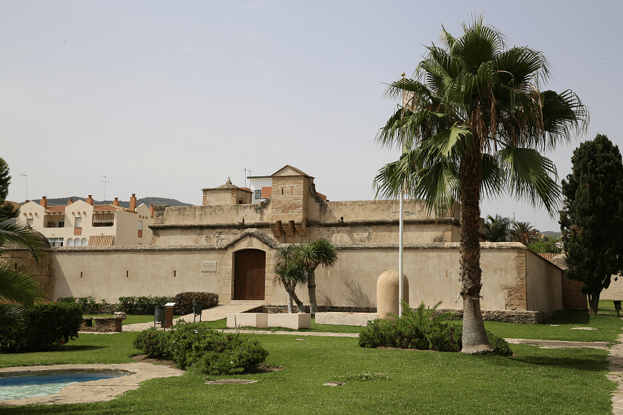
Bezmiliana Castle: it is an 18th century fortress that is currently used for exhibitions and other cultural activities. It was ordered to be built by Carlos III, with the aim of safeguarding the area from the danger of English pirates. The building consists of an outer wall surrounded by a basin. Inside, the rooms of the “troop room” and the “officer’s room” stand out .
Roman site of Torre de Benagalbón: it is an archaeological site from the 8th-3rd centuries BC. The remains of a wall, a thermal complex and a Roman villa with mosaics are preserved, as well as a garum factory and a salting factory. Phoenician ceramics and several Roman sculptural pieces have also been found, such as a head of the god Bacchus from the second century. The enclave has been declared an Asset of Cultural Interest.
Mediterranean Archaeological Park: it is an area of 90,000 m², dedicated to the scientific dissemination of the archaeological heritage of the municipality. It contains autochthonous Mediterranean vegetation and paths delimited with natural rock, as well as a replica of the wall of the Cueva de la Victoria with its cave paintings and information panels on this and other caves.
Aqueduct of the Arroyo de Benagalbón: structure of origin not yet determined, although it is believed to date from the 19th century, in poor condition.
Benagalbón Oil Mill: Unique oil mill in the province of Malaga with manual start and cold pressing using traditional baskets and that extracts oil from two native varieties of the area: verdial and lechin.
The system of prehistoric cavities called Cueva del Higuerón and Cueva de la Victoria have the status of Asset of Cultural Interest, and together with other minor caves they form a prehistoric enclave that integrates rock art —Paleolithic and Schematic.
Beaches
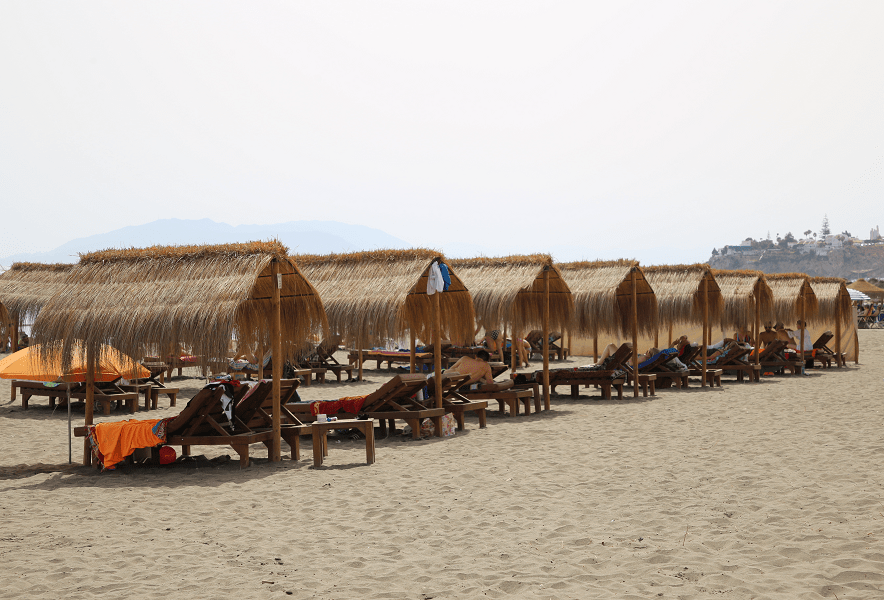
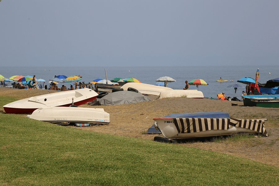
On the corner coast there are four beaches. The westernmost, located next to the border with the municipality of Malaga, is the beach of Cala del Moral, 1.3 km long. It is a beach of gravel and dark sand, with moderate waves, a promenade and a high degree of occupancy. It is delimited by breakwaters and the Cantal promontory, which separates it from Rincón de la Victoria beach, an extensive 3.6 km long beach located in the central area of the urban center. It is equally accessible from a boardwalk. It has dark sand and a high degree of occupation. Next, to the east, the Torre de Benagalbón beach stretches for about 700 m, a semi-urban beach with dark sand and a medium degree of occupancy. Finally, the easternmost beach is Los Rubios beach, 1.1 km long and with similar characteristics to the previous beach: dark sand, medium occupancy, moderate and semi-urban swell.
Restaurants
There are no Michelin list restaurants in the city.
How to get to?
The nearest international airport is in Malaga.
From Seville 2 hr 17 min (218 km) via A-92
From Madrid 5 hr 17 min (557 km) via A-4 and A-44
From Malaga 20 min (16.9 km) via A-7.
Main information
Area: 28.4 km² (municipality)
Coordinates: 36°42′58″N 4°16′46″O
Population: 48 768 (municipality)
Languages: Spanish
Currency: Euro
Visa: Schengen
Time: Central European UTC +1
See here best sea and ocean resorts of France and Spain (223 objects)


