The Carlit massif, or Carlitte massif, is a mountain massif of the Pyrenees chain located in France on the limit between Ariège and the Pyrénées-Orientales (regions of Cerdanya and Capcir) to the north-west of Font-Romeu in Occitania. It’s the start point of the Aude river.
Although we already find a person named Guillem de Cardid mentioned in the cartulary of Sant Cugat in the 11th century, the first writing of the name of the massif is found in 1175 with the appellation of Cardid in a grazing concession charter in the massive made by a man named Petrus Domenova in favor of the Cistercian abbey of Santes Creus, in Catalonia. From the 12th to the 14th century, the names used were Cardid and Cardit.
Depending on the era, the name changes, we thus find in 1845 the name of Carlit, and in 1850 the writing much more often used during this period of Carlitte.
This granite massif, mainly in the Pyrénées-Orientales department (Occitanie region), dominates the upper basins of Ariège, Aude, Têt and Sègre de Carol and thus forms a natural separation. The highest point of the massif is Pic Carlit, 2,921 meters above sea level. To the south-east of the massif extends the great Carlitte desert, whose waters flow into the Têt, and the Sègre d’Angoustrine.
The Carlit massif is made up of the Petit Péric and Grand Péric peaks, the Camporeils peak and the Carlit peak.
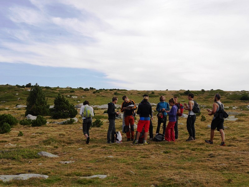
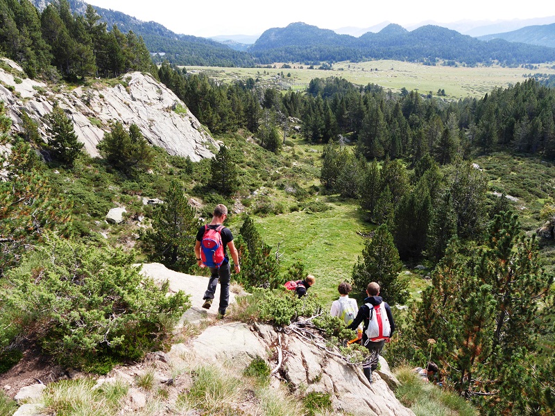
Hiking routes in the Pyrenees with STAPS. Carlit massif. Pyrenees-Orientales, France.
Terrain orientation course
Photo: Irina Rybalchenko
Carlit massif
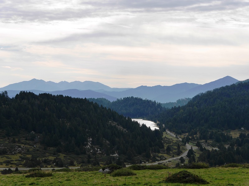
The Bouillouses dam
The hydro-electric company of Midi (SHEM, the first producer of hydroelectricity of the Pyrenees-Orientales) operates in cascade of 8 factories in the watershed of the river Têt and 1 other on the watershed of the Segre river.
The SHEM produces about 175.5 Gwt each year, which is the electricity consumption of nearly 86,000 people.
The orientation course
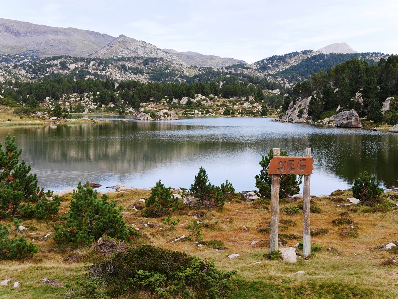
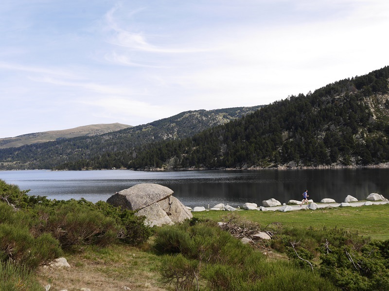
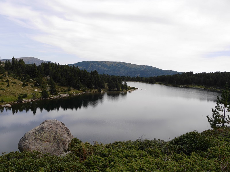
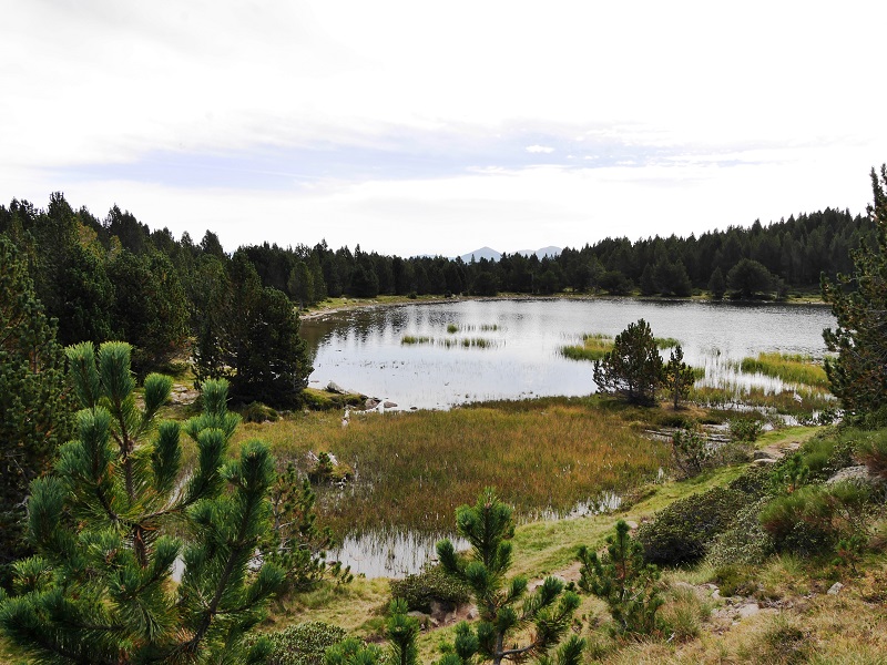
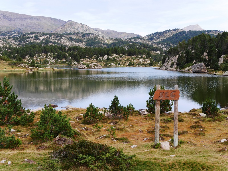
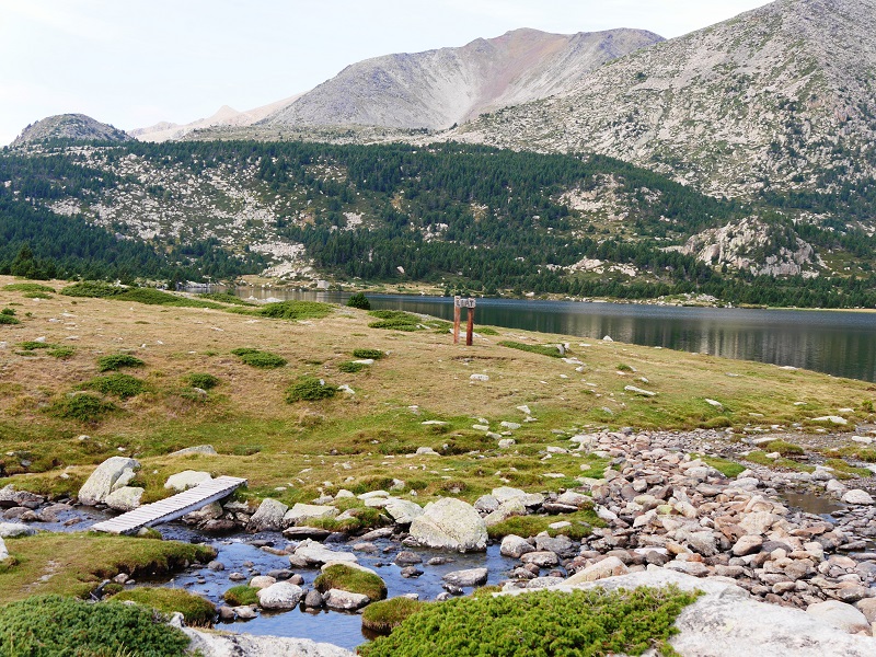
Here are three mountain lakes. The largest lake – The Black. Altitude – 2140 m, depth – 7 m, area – 4.5 hectare.
Next door is the Sec lake
And the next – Lake Llat
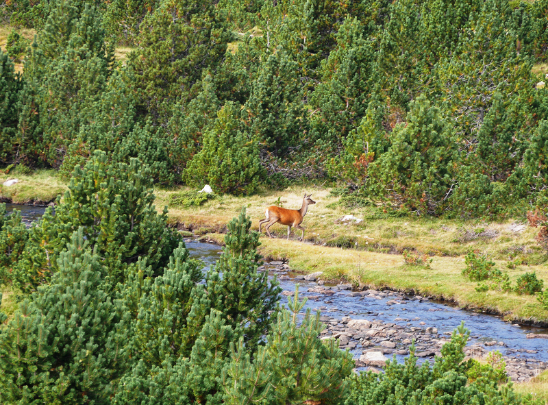
Flora and fauna of the Carlit massif: the doe
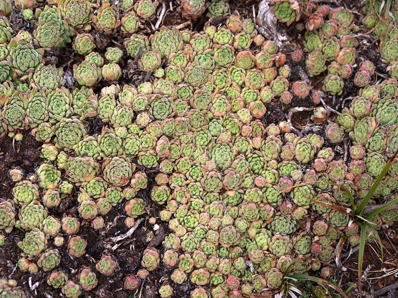
Houseleek. Alpine plant: antiseptic
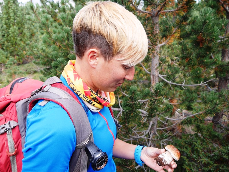
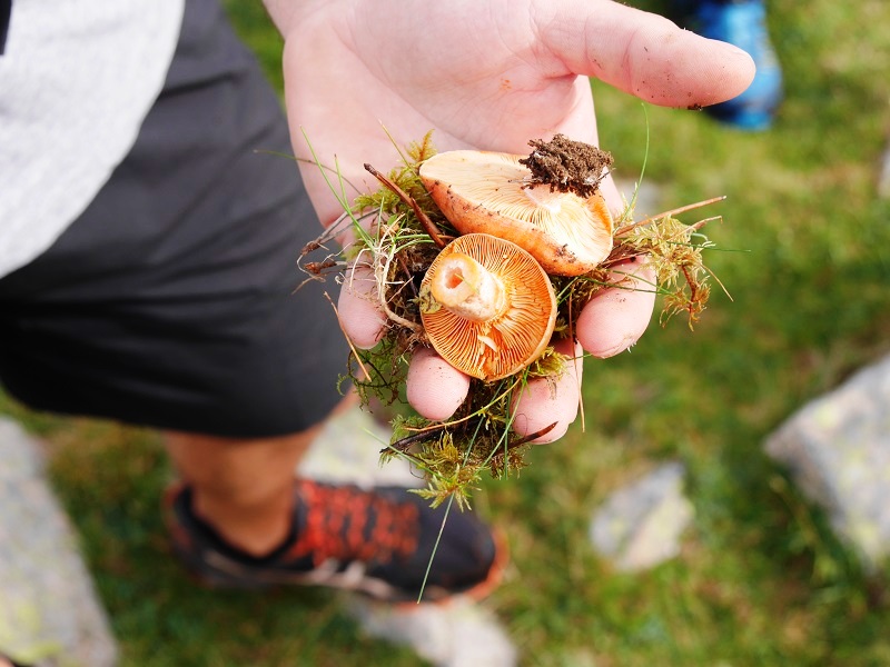
The mushrooms
“Rosello” in Catalan
Carline Acaule. The flower of the sun
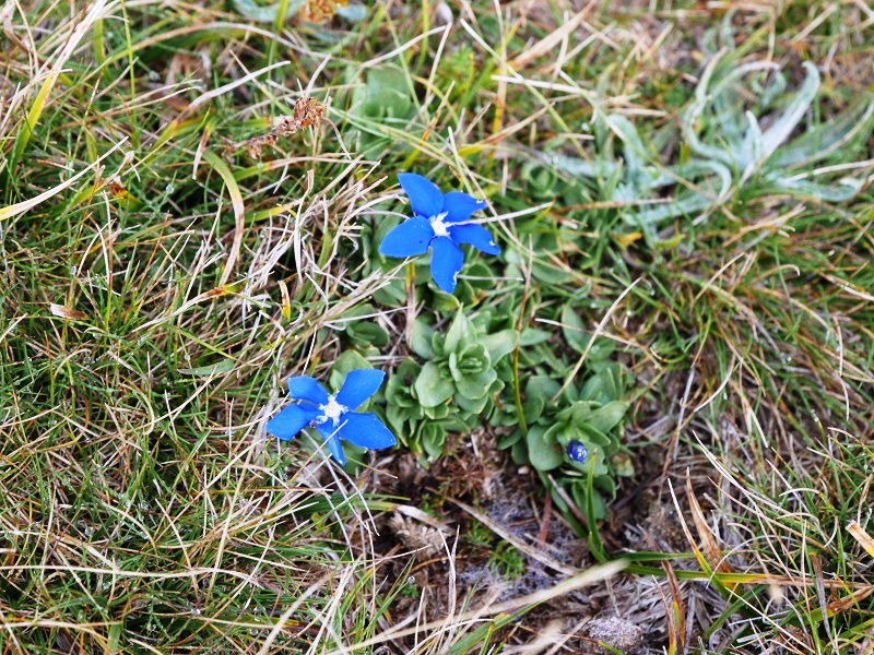
Spring gentian. The mountain star
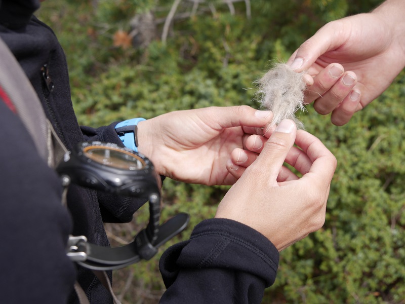
A piece of wild animal wool. A deer? There are many here and they are changing their coat with the arrival of winter.
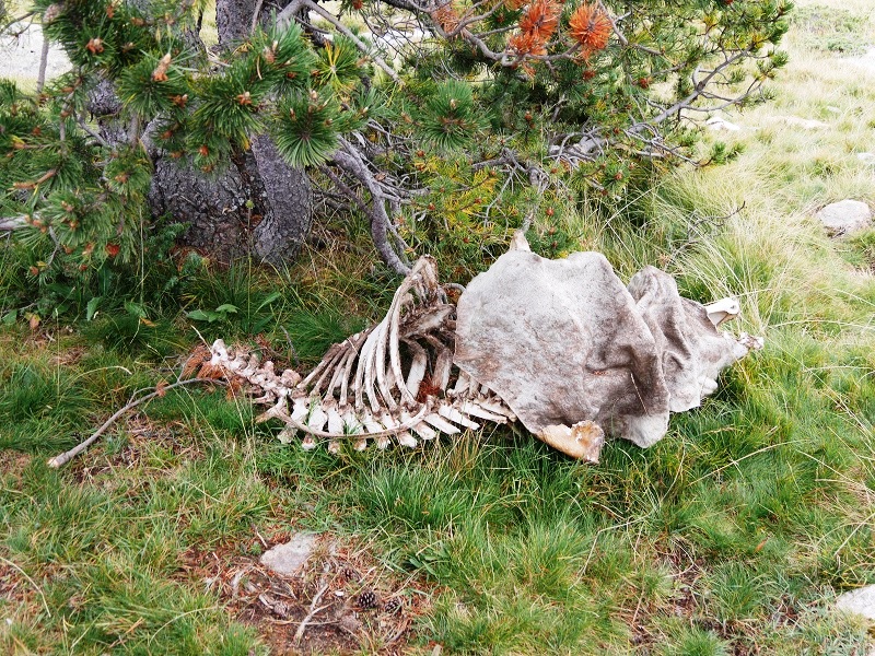
Here we can find skeletons of animals …
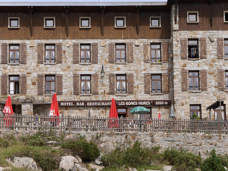
The hotel “Les bones hores” to rest and … continue the search!
See here Pyrenees travel guide
See here France travel guide
See here Spain travel guide


