The geography of Catalonia describes the relief and how it affects the human relations (trade, demography, transport) that are established on the territory of Catalonia, in the sense of the autonomous community.
Total area of approximately 32,000 km².
It is bordered on the north by the states of Andorra (65.3 km) and France — the Department of the Eastern Pyrenees— (315 km), on the west by the Autonomous Community of Aragon (359.9 km), on the south by the Valencian Country (52.9 km) and to the east with the Mediterranean Sea. Its geographical location, since medieval times, forced a close and intense relationship with the rest of the Mediterranean countries and at the same time with continental Europe.
Approximately 28.7% of the land in Catalonia is agricultural; 15.7% are meadows and pastures, 1% correspond to rivers; 43.4% in forests, 6.7% in urban or developable areas, and 4.6% in other unspecified activities.
Catalonia has a very marked geographical diversity, taking into account the relatively small area of its territory. The geography is conditioned by the Mediterranean coast with 580 kilometers of coast, and the great units of relief of the Pyrenees to the north. The Catalan relief presents three general morphostructural units:
Pyrenees: the mountainous formation that connects the Iberian Peninsula with the continental European territory, and located in the north of Catalonia;
Catalan Mediterranean System or the Catalan Coastal Ranges: an alternation of elevations and plains parallel to the Mediterranean coast;
Central Catalan Depression (cat. Depressió Central Catalana): structural unit that forms the eastern sector of the Vall de l’Ebre.
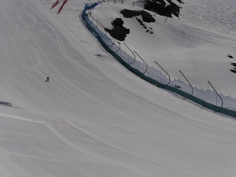
The Catalan Pyrenees represent almost half, in length, of the whole Pyrenees, as it extends for more than 200 km. Traditionally, the axial Pyrenees —the main mountain range— differ from the Pre-Pyrenees, located to the south and which are mountain formations parallel to the main mountain range but with lower altitudes, less steep and of a different geological formation. Both units are wider to the west than to the east, where the highest peaks are present. The highest elevation in Catalonia, located in the north of the Pallars Sobirà region, is the Pica d’Estats with 3,143 m. In the Preprineu there are several mountain ranges such as the Serra del Cadí or the Pedraforca.
The Catalan Mediterranean System is based on two mountain ranges more or less parallel to the coast, in a north-east to south-west orientation. These two mountain ranges are the Coastal Range and the Prelitoral Range. The Coastal Range is of smaller extension and with smaller altitudes, whereas the Prelitoral Mountain range is greater as much in extension as in altitude. Within the system are a series of flat lands, the major entities of which form the Coastal Depression and the Prelitoral Depression. The Coastal Depression is located east of the Prelitoral Range towards the coast. The Prelitoral Depression, on the other hand, is located inland, between the two mountain ranges, and forms the basis of the flat lands of the Vallès and the Penedès. Other major plains are the Depression of the Selva and the plain of the Empordà, mostly in the counties of La Selva and Alt and Baix Empordà respectively. Finally, the System also includes the Transversal Range and the Sub-Pyrenees, which are late formations north of the Prelitoral Range and in contact with the Pyrenees and Pre-Pyrenees which give rise to medium altitudes and, in the case of the former, volcanoes in the area of the Garrotxa.
The Catalan Central Depression is a plain located between the Pyrenees and the Prelitoral Mountains. The counties of the south of the province of Lleida and the central ones of Barcelona occupy this territory. The lands of the Depression are located between 200 and 600 m altitude. The plains and waters flowing down from the Pyrenees have made the territory fertile for crop fields and numerous irrigation canals have been built there.
Administrative division
There are several administrative levels in Catalonia. The division into municipalities and provinces was organized after the territorial division of Spain in 1833, with variations, usually the merging of municipalities, especially in places where depopulation was the main demographic force.
Catalonia has four provinces: Barcelona, Girona, Lleida and Tarragona. However, due to the growing strengthening of self-government, the local administrations of Catalonia have called for the creation of other administrative levels, which would be more consistent with the administration of this administration. Among the largest cities in Catalonia are Barcelona, Lleida, Girona, Figueres, Tortosa, Sabadell, Tarragona.
Geology
The current geological state of Catalonia can begin to be described from the first great changes of the Paleozoic. Initially, the territory was part of an ocean basin in which, due to orogenic rest, fine and clayey sedimentary materials were deposited. The development of varicose folds determined a more irregular sedimentation that later produced the emergence (of low altitude) of several areas of northwest-southeast orientation such as the Ebro massif (current Central Catalan Depression) and the Catalan-Balearic massif, which emerged at the end of the era. The sedimentary materials of the time were transformed into gneiss, shale and slate that emerge today in the northern half of the coastal mountains and the axial Pyrenees.
The Mesozoic era again covered the areas that emerged during the previous era, which caused a calm sedimentation under the sea, generating a large amount of calcareous material. Today this material is found in the southern half of the coastal mountains and in the Pre-Pyrenees.
At the beginning of the next era, the Cenozoic, the Eurasian and African tectonic plates come into contact. This push also affects the movement of the Catalan-Balearic massif towards the South-West, covering the Ebro massif, still submerged, which is generating materials that will lead to the future Central Catalan Depression.
In the coastline conglomerates deposited by the rivers accumulate and that will give rise to the outstanding elevations of the massifs of Montserrat, Sant Llorenç del Munt, etc. Meanwhile, towards the interior of the basin sands and clays accumulate that will give rise to the sandstone. When the L’Ebre massif closed, in the form of a golf course, a large salt lake originated. Its waters were exposed to intense evaporation which eventually led to large salt deposits from which until recently salt was still extracted in Súria and Cardona. The second half of the era eroded by decompression much of the Catalan-Balearic massif, remaining in a narrow line that make up the pre-coastal depression, the Cerdanya plain, the Empordà, etc. At the end of the period, the alpine movements affect the emergence of volcanoes in the area of Olot that will last until the Quaternary and the glaciers of the Pyrenees end up forming the territory.
Land use
Despite the population and industrialization of Catalonia, much of the land remains wild. The forest landscape is distributed by 18,257 km² (2019), and is appraised especially in the mountainous zones of the north and the coast. This includes thick forests (sclerophylls, deciduous and aciculifolia) as well as wetland vegetation. These forests occupy 56.8% of the Catalan surface.
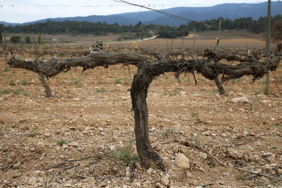
By extension, the next cover is occupied by crops, spreading over 32.5% of the territory (10,448 km²). Of these, dryland agriculture stands out (7,069 km²), spread over many counties and being characteristic of La Segarra, Solsonès, Bages and Anoia, among others.
The cultivation of dried fruit extends mainly to the south of Ponent and Terres de l’Ebre. Regarding the vineyard, the vineyards extended this year by 769 km², mainly in the Penedès. The extension of the irrigated land is more restricted (2,611 km²) and is distributed mainly by the Segrià, Pla d’Urgell and environs, mainly by means of the numerous irrigation channels, as well as the Delta of the Ebro, and to a lesser extent, to the Empordà, the Cerdanya and the coast of Barcelona. The cultivation of fruit trees for irrigation is less extensive, and occurs especially in the Segrià and the Camp de Tarragona.

The human presence in 2019 had an area of 1,520 km² (4.7% of the Catalan territory) and is concentrated, in general, on the coast, especially in the Barcelona Metropolitan Area. It emphasizes the extension of the urbanizations, superior to the one of the urban nuclei, and later the area destined to the industrial and commercial use (229 km²).
Finally, the unused or unusable land constituted 5.4% (1,740 km²) and extended mainly through the Pyrenean peaks in the form of shallow or meadow vegetation. The surface occupied by the waters (of rivers, lakes or dams) was 150.5 km², only 0.5% of the Catalan surface.
Hydrography
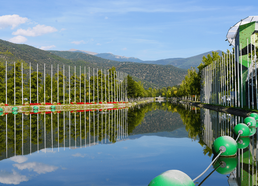
Almost the whole of Catalonia drains into the Mediterranean basin. The Catalan river network is made up of two important river basins, the Ebro (managed by the Ebro Hydrographic Confederation) and the inland basins of Catalonia (managed by the Catalan Water Agency), similar size over the territory (15,038 km² –46.84% – and 16,513 km² –51.43% – respectively), all draining into the Mediterranean. In addition, there is the Garonne basin (Aran valley) that flows into the Atlantic Ocean.
The hydrographic network is divided into two sectors, one on the western side or the Ebro and one on the eastern side formed by smaller rivers that flow into the Mediterranean along the Catalan coast. In Catalonia, there is also a relative richness of groundwater. Near the peaks of the Catalan Pyrenees there are many small lakes, formed by glacial circuses filled with water. Large reservoirs of water are scarce – the largest is in Banyoles – although the creation of marshes has developed a network of water reservoirs in order to ensure the supply of drinking water and reduce the effect of floods (eg: the Sau – Susqueda system).
The Ebro basin in Catalonia is mainly used by the Segre river as the largest tributary, whose basin alone reaches 7,455 sq. km, and to which are added as tributaries the basins of the Noguera Pallaresa (2,811 sq. km) and Noguera Ribagorçana (1,013 sq. km). All the rivers follow a Pyrenees-Ebro axis. After the tributary of the Segre, the Ebro heads towards the Delta irrigating through other tributaries a territory of 3,757 sq. km, largely located in the area of Terres de l’Ebre.

For the water supply there are 28 reservoirs, ten of which operate in the Segre basin. The oldest is the Camarasa reservoir, built in 1920, and the largest are Canelles (679 hm³, shared with Aragón), Rialb (402.8 hm³), Santa Anna (236.6 hm³, shared with Aragón) and Susqueda (233 hm³).
There are few considerable lakes in the territory. Most are found in the Catalan Pyrenees in the form of small lagoons (lakes), originated by ancient glacial circuses. Of these, those of the Aigüestortes National Park and Sant Maurici Lake are famous, although the largest of all is Lake Banyoles, of karstic origin.
The coast
The Catalan coast is almost straight, with a length of more than 500 km and few geographical features, the most important being the Cap de Creus and the Gulf of Roses to the north, and the Ebro Delta to the south.
The northern part of the coast (Costa Brava) is characterized by cliffs of small height and hidden coves.
Then follows the long line of beaches of Maresme, parallel to the Coastal Range, and which is only cut by the various commercial and fishing ports.
The coast of Barcelona is characterized by artificial beaches and a large commercial port that stretches for more than nine kilometers. The southern part of the port developed on the plain of the Delta del Llobregat, which after the port draws a smooth line of just over 18 km.
To the south the massif of the Garraf coast offers remarkable cliffs and until Sitges the coast does not return to be rectilinear until the height of the port of Tarragona. This is the second largest port in Catalonia which extends for more than 5 kilometers, before entering the Cap de Salou.
The beaches of this area have the name of Costa Daurada in its tourist aspect.
To the south the coast is again smooth, and is characterized by less human occupation. The last major geographical feature is the Gulf of Sant Jordi and the wetlands of the Ebro Delta, where there are islands and peninsulas, such as Punta del Fangar to the north and La Banya to the south, which is connected to the delta by the beach of the Trabucador. The sand of the Catalan beaches is generally golden, and with a certain tendency to be granular in the north and more to the south.
Climate
Catalonia has a temperate Mediterranean climate, typical of its latitudes in the northern hemisphere. However, given its varied topography, there is a variety of climatic features. Average annual temperatures range from 0 ° C in the Pyrenees to 17 ° C on the southern coast; the maximum temperature can reach 43 ° C (in Les Garrigues) and the minimum is -30 ° C (in the Pyrenees).
Fauna
The fauna of Catalonia is largely composed of a combination of a minority of endemic animals of the region and a majority of animals that are also present in other places. Most of Catalonia enjoys a Mediterranean climate (except mountain regions), which means that many of the animals that live there are adapted to the Mediterranean ecosystems. Human activities have endangered the animal biodiversity of Catalonia, putting some species in danger and destroying others, such as the gray wolf or most likely the brown bear. On the other hand, the government has also delimited protected areas in order to preserve the natural wealth of Catalonia.
Parks and environment
The protection of the Catalan natural environment has grown rapidly in recent years. As of 2019, the protected land area amounted to 9,608 km², almost 30% of Catalonia. Spaces differ in degree of protection. In this sense, the National Parks have greater rank, for example, the National Park of Aigüestortes or Estany de Sant Maurici National park, inaugurated in 1955.
Until the return of the Government of Catalonia from exile, no new laws were adopted. Currently, several administrations (the Ministry of the Environment, the Generalitat de Catalunya and the Diputació de Barcelona, together with various consortia of municipalities) are responsible for guarding, protecting and promoting protected areas. The Generalitat, in addition to co-managing the Aigüestortes Park, manages a network of 11 natural parks, 3 Natural Places of National Interest, a nature reserve (Delta del Llobregat) and a marine reserve (Medes Islands).
For its part, the Diputació de Barcelona has a Network of Natural Parks run by the Area of Natural Spaces of the Diputació that extends the protected areas by 12 parks of different degrees of protection, some managed alongside the Generalitat.
In addition to these parks, there is a more extensive network of specific areas protected by less specific laws whose aim is to combine the diversity of the Catalan territory and its local flora and fauna. This network, called PEIN (Plan of Areas of Natural Interest) also incorporates the aforementioned natural and national parks that do have specific legislation. As of April 2007, the spaces included in the PEIN amounted to 165.

The natural parks of Catalonia are the following:
- Natural Park of the High Pyrenees
- Regional Natural Park of the Catalan Pyrenees
- Wetlands of the Empordà
- Cadí-Moixeró Natural Park
- Natural Park of Sant Llorenç del Munt i l’Obac
- Cap de Creus
- Ebro Delta
- Ports Natural Park
- Montseny Natural Park
- Montserrat
- Sierra de Montsant
- Volcanic area of La Garrotxa
- Montnegre Park and the Corridor
- Collserola Park
- Coastal Range Park
- Garraf Park
- Montgrí Natural Park, the Medes Islands and the Baix Ter
- Les Capçaleres del Ter i del Freser Natural Park
The Geopark of Central Catalonia is a geopark, ie a project of sustainable social and economic development aimed at the inhabitants of the territory, which is based on the values and conservation of geological and mining heritage. It highlights the geological, mining and landscape attractions of the territory, some internationally recognized, as well as tourist assets, with an interesting and quality tourist offer, which integrates culture, nature, geology, mining, history, art and gastronomy. Management is carried out under a holistic concept of conservation, education, research and dissemination.
Initially, in 2011 it was set up as the Geological and Mining Park of Central Catalonia, and in 2012 it took the name of Geopark when it became part of the European Geoparks Network (European Geoparks Network, EGN) and the Global Geoparks Network (Global Geoparks Network, GGN) under the auspices of UNESCO.
Bibliography:
L’Enciclopèdia: Grup Enciclopèdia Catalana.
«Els Països Catalans»: Grup Enciclopèdia Catalana.
Institut d’Estadística de Catalunya
Photos: Alex Monroe