Elizondo is a town in Navarre (Spain), capital of the Baztán Valley (Atlantic Pyrenees), located in the Merindad de Pamplona.
Elizondo is one of fifteen settlements in the valley. It is home to the Valley House which houses the City Council and the General Assembly of Baztan. It comprises the districts Anzamborda, Berro, Etxaide, and Beartzun.
The Baztan valley has a recorded history dating back at least to the year 1025. During the War of the Pyrenees in late July 1794, the Battle of the Baztan Valley took place in the area. In 1813, British General William Stewart located his headquarters in Elizondo during the Battle of the Pyrenees.
Architectural heritage
Old streets
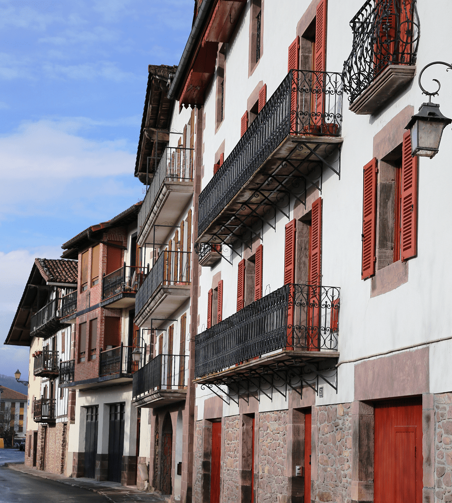
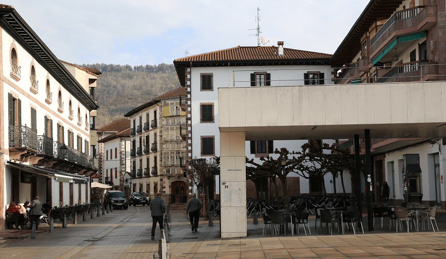
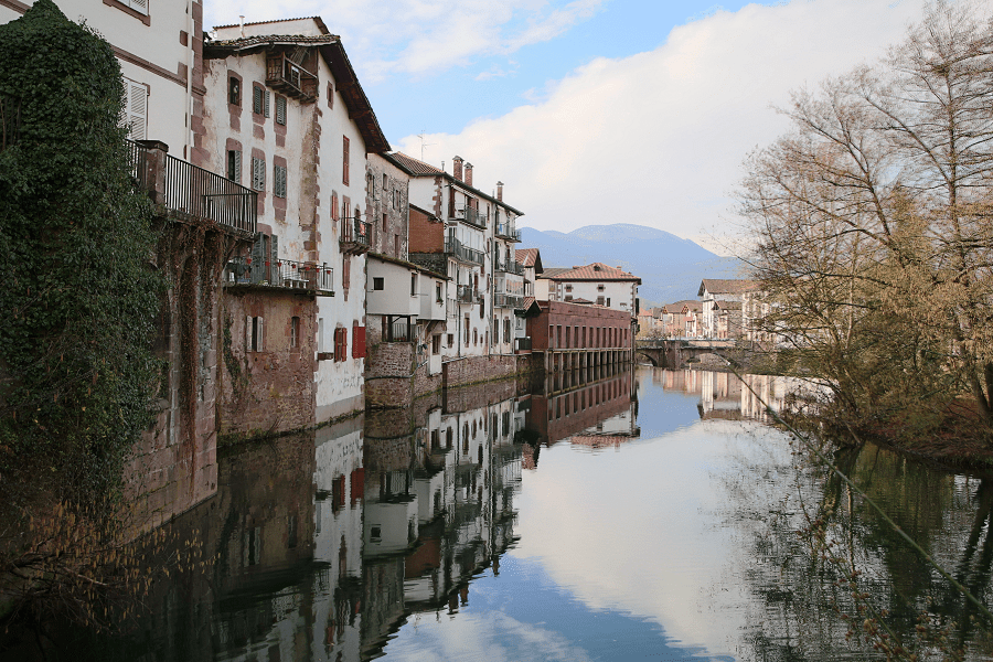
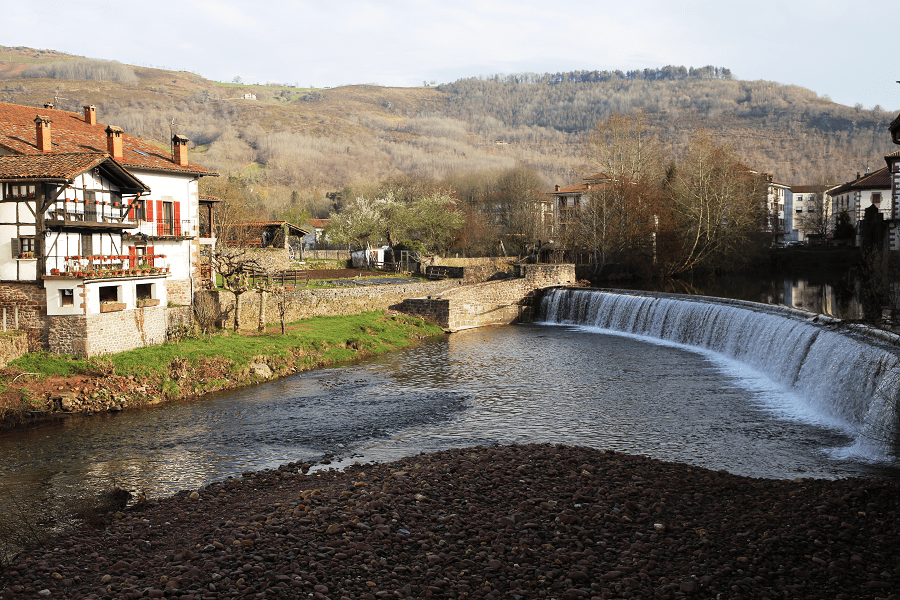
On the banks of the Baztan river are Jaime Urrutia street (former Mayor street) and Braulio Iriarte street (former Sol or Eguzkialde street). Next to the old medieval streets is Calle Santiago with the church and some Indian houses.
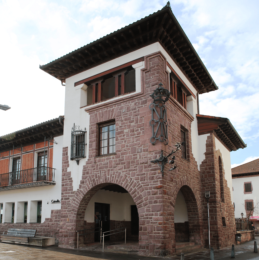
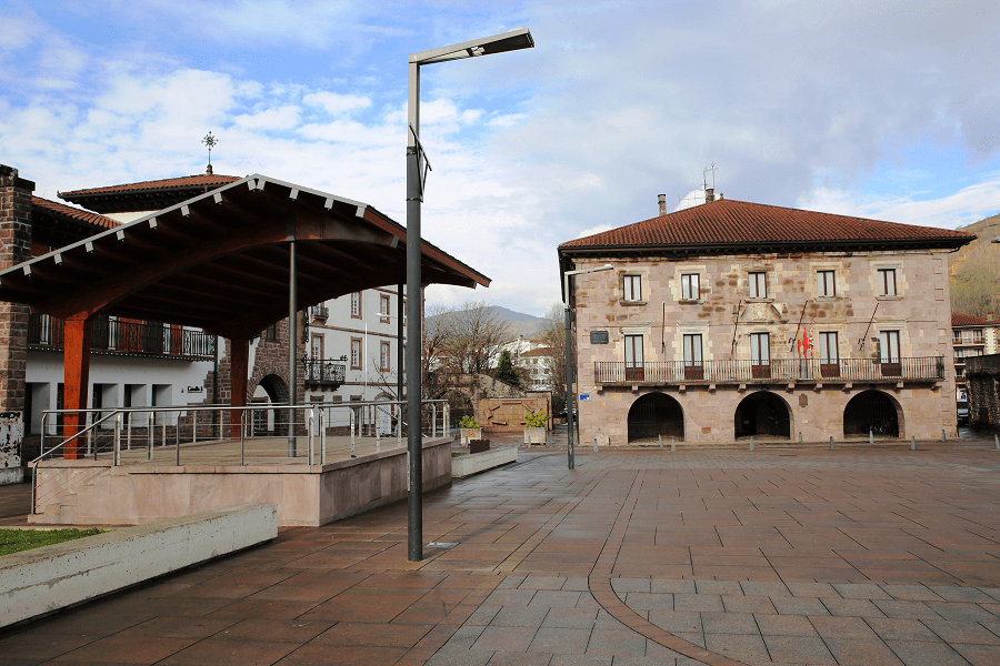
Town hall
From the 17th century, where the General Board of Baztan meets, an institution of medieval origin that governs the valley.
Botillo
In a corner of the town hall, it was used in the game of laxoa, an ancient form of Basque football.
Palaces
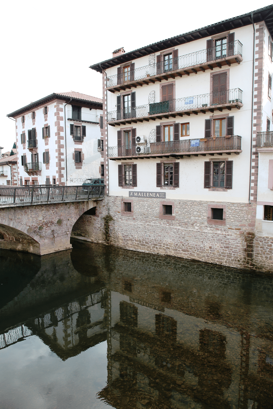
Elizondo is notable for the large number of mansion houses and palaces in its historical quarter between the streets of Jaime Urrutia and Braulio Iriarte.
Most of these properties used to belong to local people who emigrated to America and wanted to leave a legacy of the fortunes they made there.
Among them, on Jaime Urrutia street, such as Arizkunenea (current House of Culture), Seronraenea house (former residence of the sacristan) and Ospitalenea house (former hospital and hostel for pilgrims to Santiago de Compostela). On Braulio Iriarte street, the Txarrenea and Puriosenea houses stand out.
Stone arcades
Where the local market was held.
Txokoto Dam
Visible from the Muniartea bridge (today a museum).
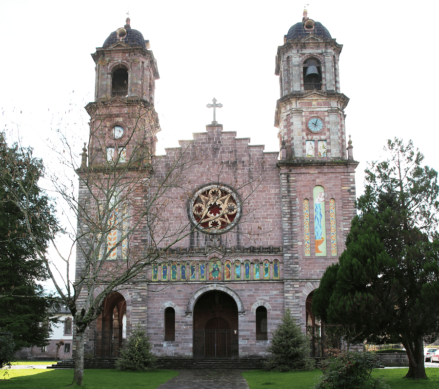
Church of Santiago
Built between 1916 and 1925; the previous one, from the 16th century, seriously damaged in the floods of June 2, 1913, was located in the Plaza de los Fueros.
Its great façade and its two neo-baroque style towers on each side stand out.
How to get to?
From Pamplona 49 min (50.3 km) via N-121-A
From Madrid 4 hr 38 min (448 km) via A-2
Main information
Area: 4 km²
Coordinates: 43°08′49″N 1°31′02″W
Population: 3519
Languages: Spanish, Basque
Currency: Euro
Visa: Schengen
Time: Central European UTC +1


