Barberà de la Conca is a town and municipality in the region of Conca de Barberà in the province of Tarragona and autonomous community of Catalonia, Spain.
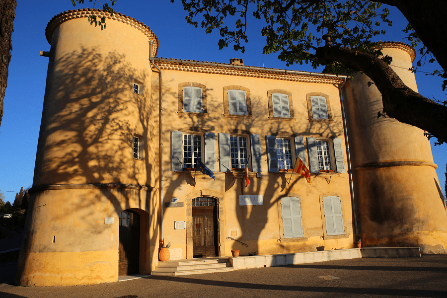
The main economic activity is agriculture, highlighting the cultivation of vines, followed by cereals. In 1894, what would be the first cooperative winery (Celler Cooperatiu de Barberà de la Conca) was founded in the town. The modernist building that houses it is the work of the architect César Martinell.

Main attractions
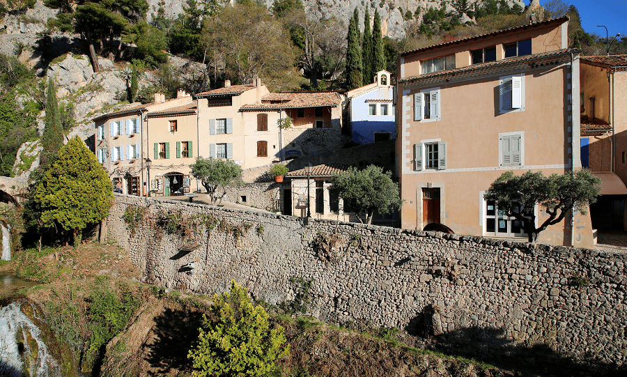
Barberà Castle is strategically located at the top of the hill at the foot of which, over time, the village grew. From the fortress, it has historically been possible to control one of the traditional roads that penetrated the interior of Catalonia from the coast. It was the seat of a Templar order, first, and then a hospital. It is a building declared a cultural asset of national interest.
The Templars and Hospitallers enlarged the castle, which reached more or less the whole of the nineteenth century. Over the centuries it suffered significant destruction and reconstruction, however the main destruction took place in the late nineteenth century when it was ceded to the City Council to be used as a public school. Today it is difficult to discover what the Templar castle was like.

El Promasó square is located in the highest part of the village, east of the Castle. Although it has more often been called a square, it is also sometimes documented as a street.
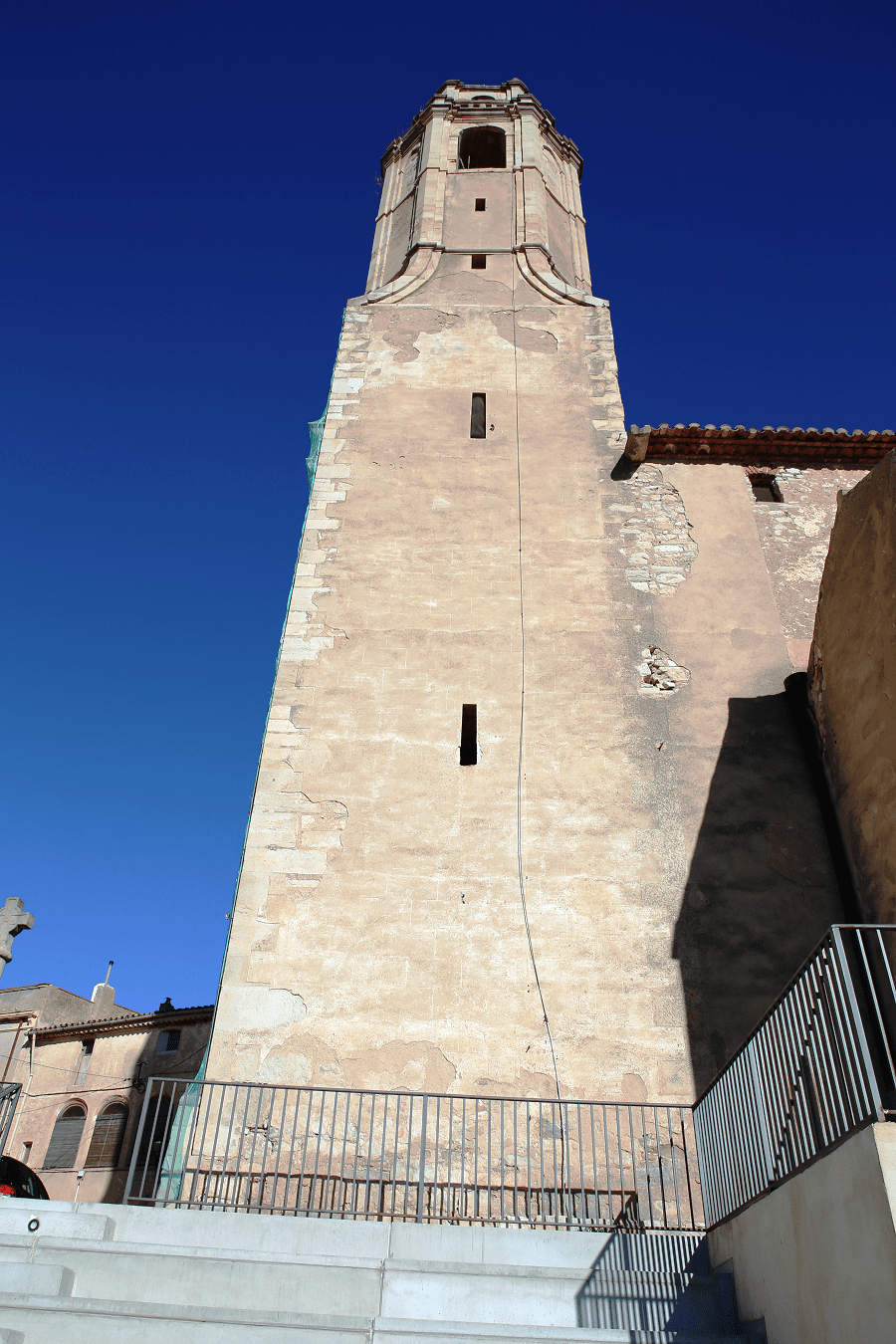
The parish church is dedicated to St. Mary. This is a three-nave Baroque building that was built in the place that was once the old Roman temple. The tympanum in the old building is still preserved where an image of the Virgin can be seen enthroned. She has the child to her left and everything is framed by a mandorla supported by two angels.
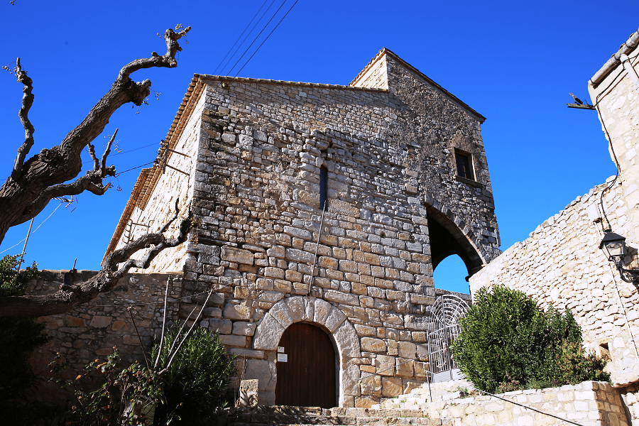
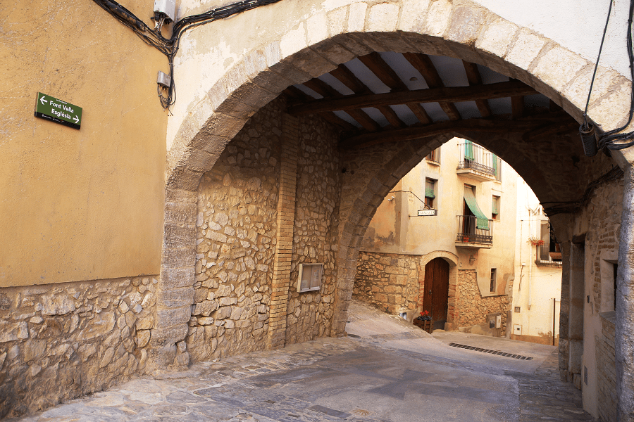
The Portal de Baix. Until the 19th century, Barberà was a closed town with four portals: Dalt, located to the east (between Cal Guineu and Cal Joan del Colom); the one in Fiol (near El Pitxo), the one in El Grau (in Carrer Grau), and the one in Baix (between Cal Mercer and Cal Jaume el Portal). All of them were demolished at the beginning of the twentieth century and of them only one place name has survived, the Portal, referring to Baix.
How to get to?
From Tarragona 34 min (44.5 km) via Autovia Tarragona-Lleida/A-27 and N-240
From Barcelona 1 hr 19 min (118 km) via AP-7 and AP-2
From Madrid 4 hr 42 min (510 km) via A-2 and AP-2
Main information
Area: 26 km²
Coordinates: 41°24′40″N 1°13′37″W
Population: 472
Languages: Spanish, Catalan
Currency: Euro
Visa: Schengen
Time: Central European UTC +1